Medzi mníchmi – Na jame
Trail map
Route, springs and shelters: © OpenStreetMap contributors (ODbL) · elevation: Copernicus DEM © DLR e.V., © Airbus DS · Data & licences
About the trail
Route Medzi mníchmi – Na jame. Has yellow marking (regional route №8646, KST). Waymarking data: OpenStreetMap (© OpenStreetMap contributors, ODbL).
Officially marked regional tourist route No. 8646. The marking is yellow, the sign is a horizontal stripe on a white background. Marked and maintained by: KST. Length of the route — 5.7 km. Location: mountain range — Vel'ka Fatra, Slovakia.
At a glance
A short route of 5.7 km with 515 m of ascent from Medzi mníchmi to Na jame. Estimated walking time: about 2.5 h, not counting stops. Difficulty: easy. Waymarking: yellow.
Route stages
- 0–1 kmGentle ups and downs at 540–640 m
- 1–3.5 kmClimb of 390 m to Lučenec (1,041 m)
- 3.5–5.5 kmDescent of 460 m to Na jame
Steepest kilometre: km 3.5–4.5, a descent of 250 m (≈25%), near Lučenec.
Water and overnight stays
A spring near the trail: at km 0.
When to go
Best time: May to October. In winter deep snow is possible, so experience and winter gear are needed.
Getting there
Start: Medzi mníchmi.
FAQ
- How long does the route take?
- Estimated walking time: about 2.5 h, not counting stops.
- Is there water on the route?
- A spring near the trail: at km 0.
Water and shelter on the route
- Spring below Veľký vrch (south-west slope)km 0 from the start · 140 m off the path · Not verified · 532 m
- Spring below Veľký vrch (south-east slope)km 0.9 from the start · Not verified · 629 m
Comments
Trails nearby
All trails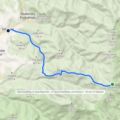 EasyOne-dayMarkedSklabiňa JarabináElevation profile485–1 314 m11.3 kmascent 135 m≈ 3 h walking
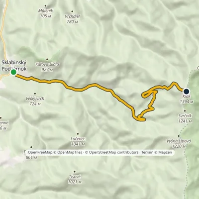 ModerateOne-dayMarkedSklabinský Podzámok KľakElevation profile504–1 394 m10.2 kmascent 890 m≈ 4.5 h walking
 ModerateOne-dayMarkedSklabinský Podzámok JarabináElevation profile504–1 314 m9.7 kmascent 810 m≈ 4 h walking
Craft nearby
All craft places Cheese dairies & pasturesSalaš Krajinka near RužomberokRužomberok17 km from the trailSalaš Krajinka is a genuine sheep farm on the edge of Ružomberok in lower Liptov. It was founded in 1983 to keep a thousand sheep, and the owners have deliberately...
 Craft beer & breweriesURSUS craft brewery, Čutkovská valleyRužomberok17 km from the trailURSUS craft brewery (Remeselný pivovar URSUS) is the first brewery of the town of Ružomberok, tucked away in the picturesque Čutkovská valley in lower Liptov.
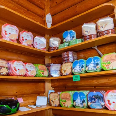 Cheese dairies & pasturesTuriec bryndza dairy, Turčianske Teplice: bryndza since 1917Turčianske Teplice23 km from the trailMore than a hundred years of Turiec bryndza Turiec is a wide basin between the ridges of the Veľká and Malá Fatra, a land of pastures and old sheep farming.
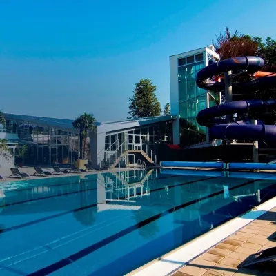 Water parks & thermal poolsSpa & Aquapark Turčianske TepliceTurčianske Teplice23 km from the trailTurčianske Teplice is one of Slovakia’s oldest spa towns. Its warm springs were first mentioned in 1281 in a deed of gift by King Ladislaus IV, and from 1533 they...
 Cheese dairies & pasturesSalaš Syrex in Zázrivá — Home of the Zázrivá Korbáčik CheeseZázrivá25 km from the trailZázrivá is a scattered mountain village on the border of Orava and the Malá Fatra, famous throughout Slovakia for its korbáčiky: thin strings of steamed cheese braided...
 Water parks & thermal poolsSpa Aphrodite thermal pools, Rajecké TepliceRajecké Teplice27 km from the trailHot mineral water rises here, and it feeds the Spa Aphrodite resort, whose thermal pools, saunas and Natural Spa zone are open not only to patients but to anyone with...
