Lovinobaňa
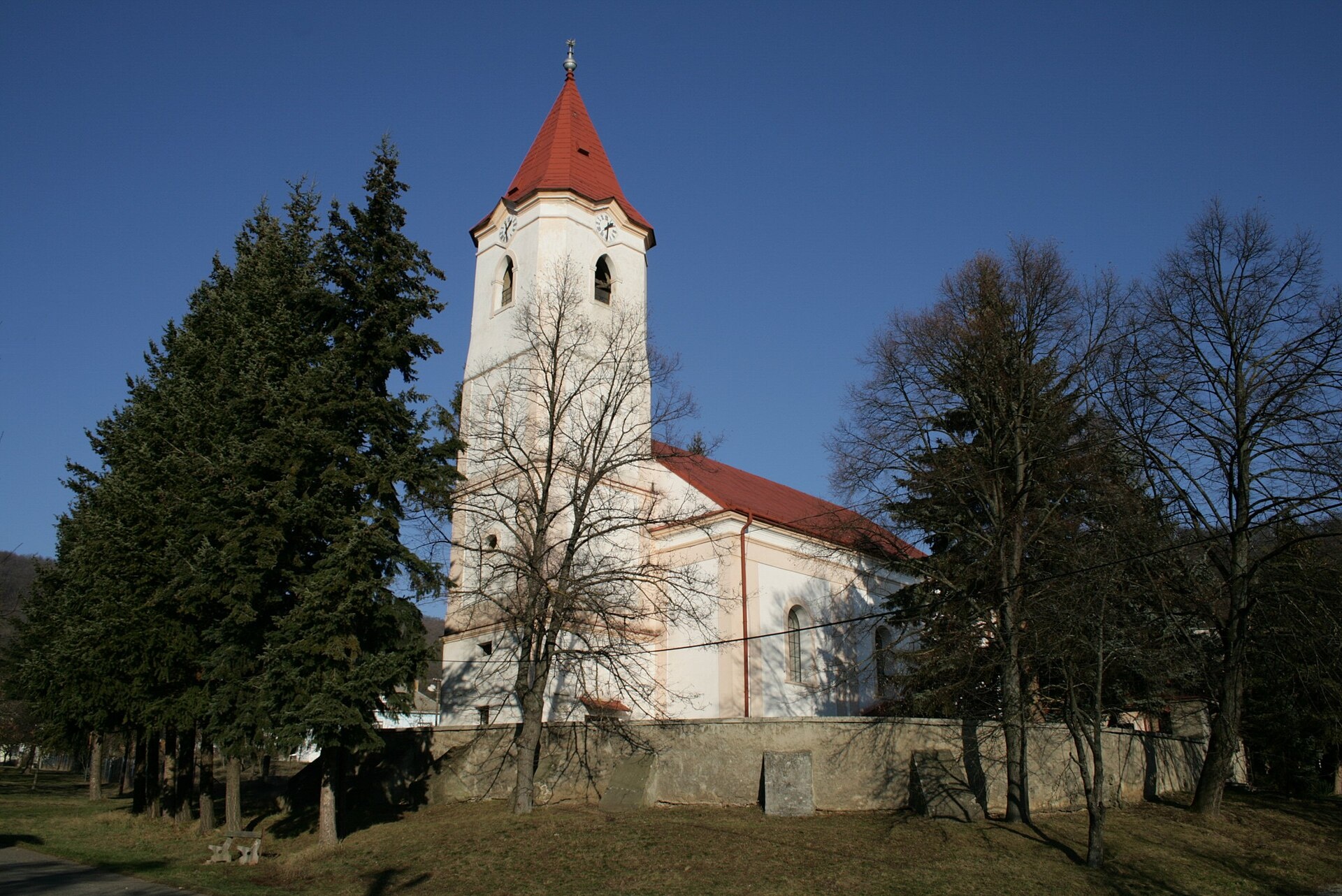
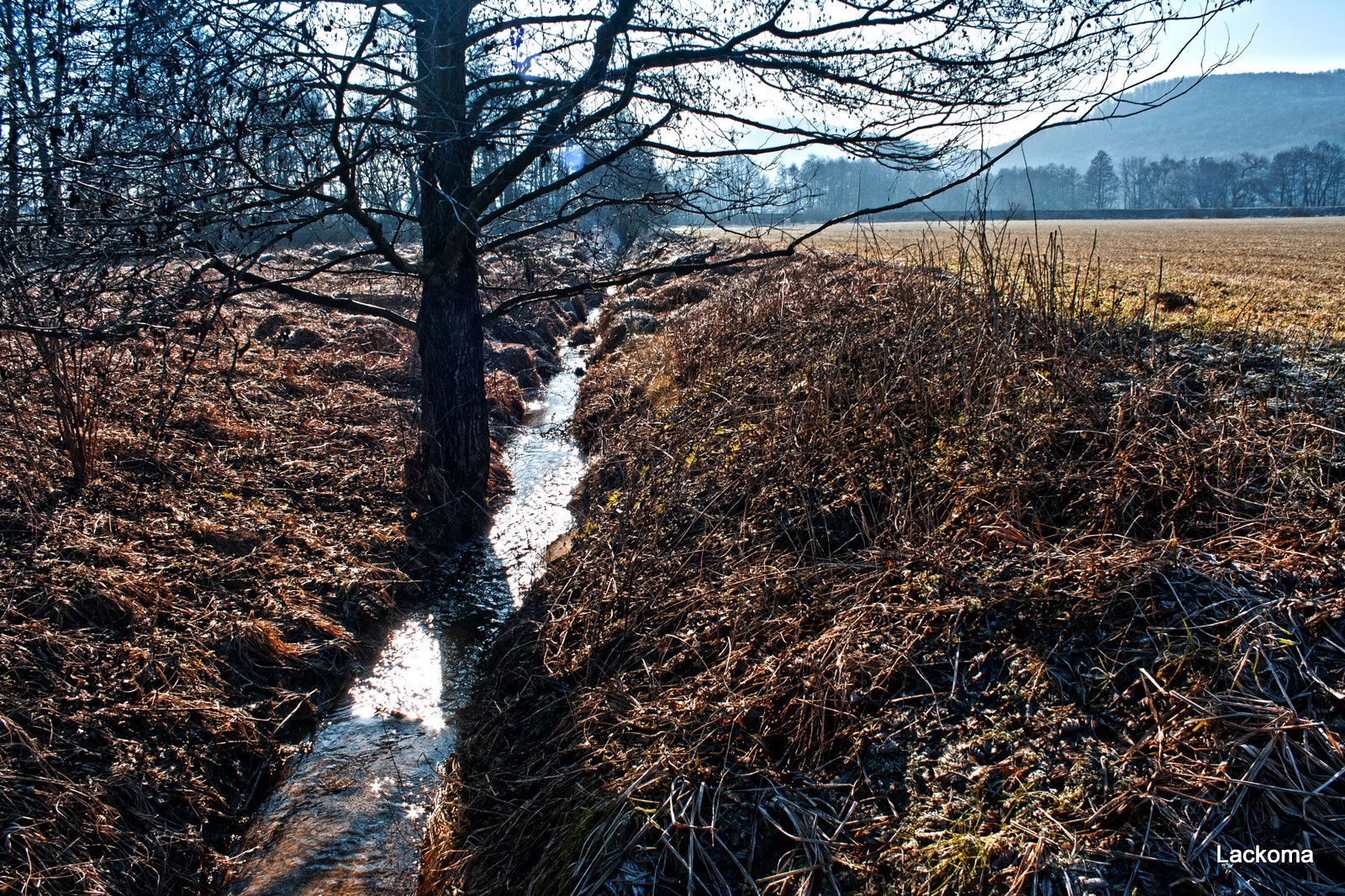
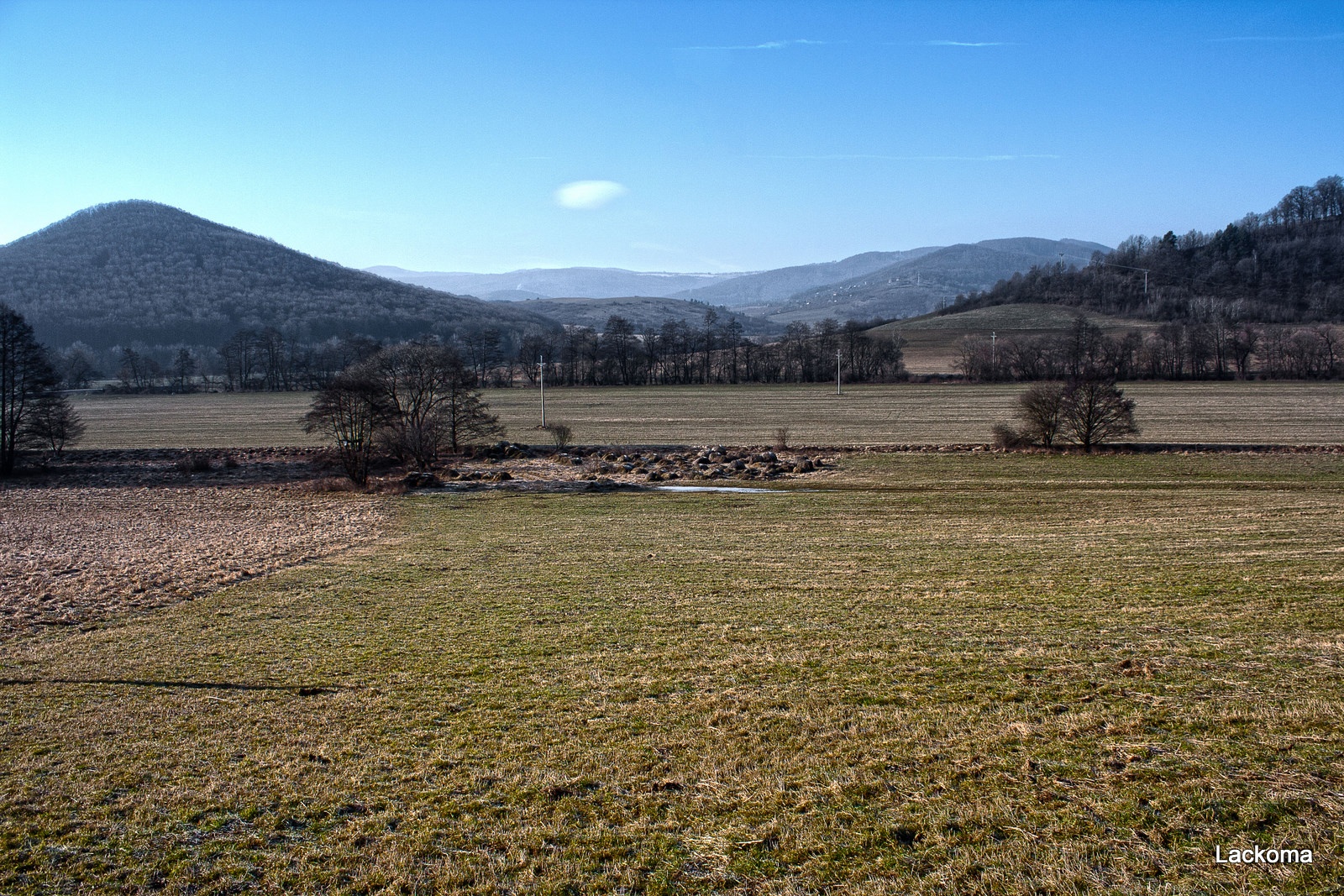
Photos: Rios, Public domain (Wikimedia Commons); Marian Lacko, CC BY 3.0 (Wikimedia Commons); Marian Lacko, CC BY 3.0 (Wikimedia Commons)
Lovinobaňa is a village in Slovakia.
Elevation: about 264 m above sea level. Population: 1,905 (2025). Mountains nearby: Slovak Ore Mountains.
Here and nearby on the site: 4 trails.
Facts: Wikidata, OpenStreetMap. More on Wikipedia
What's nearby
Trails nearby
All trails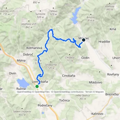 HardTwo-dayMarkedLovinobaňa, railway station Málinecvia HrnčiarkyElevation profile230–747 m22.1 kmascent 824 m≈ 7 h walkingunder 1 km from the centre
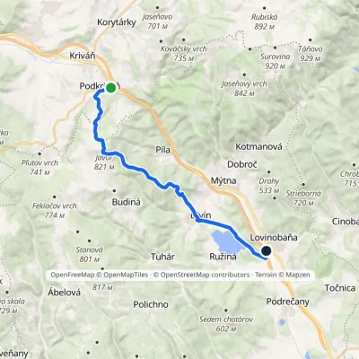 ModerateOne-dayMarkedPodkriváň, railway station Lovinobaňa, railway stationvia Javor, DivínElevation profile229–821 m18 kmascent 456 m≈ 5.5 h walkingunder 1 km from the centre
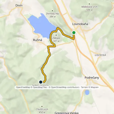 EasyOne-dayMarkedSedem chotárov peak Lovinobaňa stationvia Ružiná campsiteElevation profile229–602 m6.8 kmascent 377 m≈ 2.5 h walkingunder 1 km from the centre
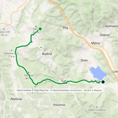 ModerateOne-dayMarkedRužiná, ATC Former hut under Javorvia Tuhár, BralceElevation profile260–814 m18 kmascent 295 m≈ 5 h walking2.2 km from the centre
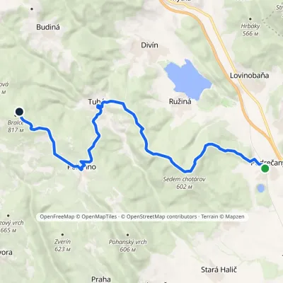 ModerateTwo-dayMarkedPodrečany Bralcevia Tuhár, PolíchnoElevation profile217–793 m17.9 kmascent 849 m≈ 6 h walking3 km from the centre
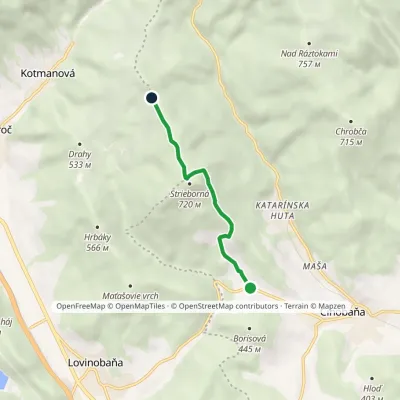 EasyOne-dayMarkedLovinka Saddle under HradnýElevation profile339–730 m4.6 kmascent 405 m≈ 2 h walking3 km from the centre
Peaks nearby
All peaks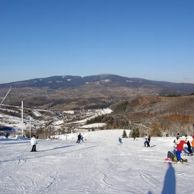
What to visit
All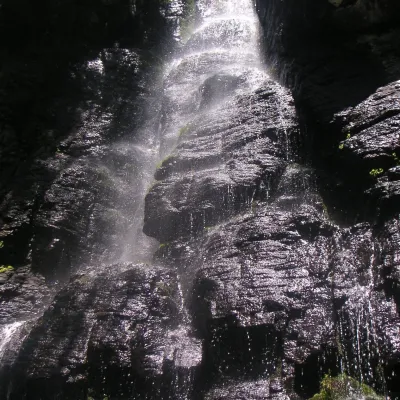
Craft nearby
All craft places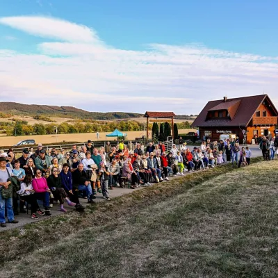 Cheese dairies & pasturesSalaš pod Maginhradom: Gemer sheep’s cheese and the Mitrovanie feastVeľké Teriakovce27 km from the centreAcross the road rises Maginhrad hill: in the 15th century a castle stood there that served as a Hussite fortress, and the Romantic poet Ján Botto dedicated a ballad to...
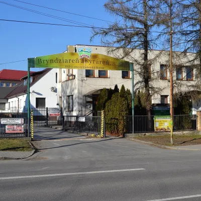 Cheese dairies & pasturesZvolenská Slatina bryndza dairy: the oldest, since 1797Zvolenská Slatina28 km from the centreBryndza with more than 220 years behind it Zvolenská Slatina is a large village in the Podpoľanie region, a few kilometres from Zvolen, at the foot of the volcanic...
Huts, shelters and springs nearby
Getting there from Ukraine
Border crossings
- Uzhhorod – Vyšné Nemecké — road, 24/7
- Malyi Bereznyi – Ubľa — road, 24/7 For cars and buses; pedestrians not confirmed by the Ukrainian border service, lorries up to 3.5 t.
- Mali Selmentsi – Veľké Slemence (pedestrian) — pedestrian, 09:00–21:00 Kyiv time Pedestrians and cyclists only; inconvenient for the Tatras without onward transport.
- Chop – Čierna nad Tisou (rail) — rail, 24/7
By car
From Uzhhorod to Brezno ≈274 km, ≈3 h 50 min without queues: Uzhhorod – Vyšné Nemecké → I/19 to Košice → D1 via Prešov and Poprad to the exit near Liptovský Hrádok → I/18 and I/72 over the Čertovica Pass to Brezno. To Banská Bystrica ≈322 km, ≈4 h 30 min: D1 to Ružomberok, then I/59 via Donovaly. From Lviv: to Brezno via Uzhok and Ubľa ≈498 km (≈7 h 45 min) or through Poland ≈554 km (≈7 h 05 min); to Banská Bystrica through Poland (Kraków – Chyżne – Trstená – Dolný Kubín – Ružomberok) ≈535 km, ≈7 h 15 min. The D1 requires an e-vignette (eznamka.sk).
Checked 23.10.2026; border crossing hours and timetables change — check before you travel.
