Lipany
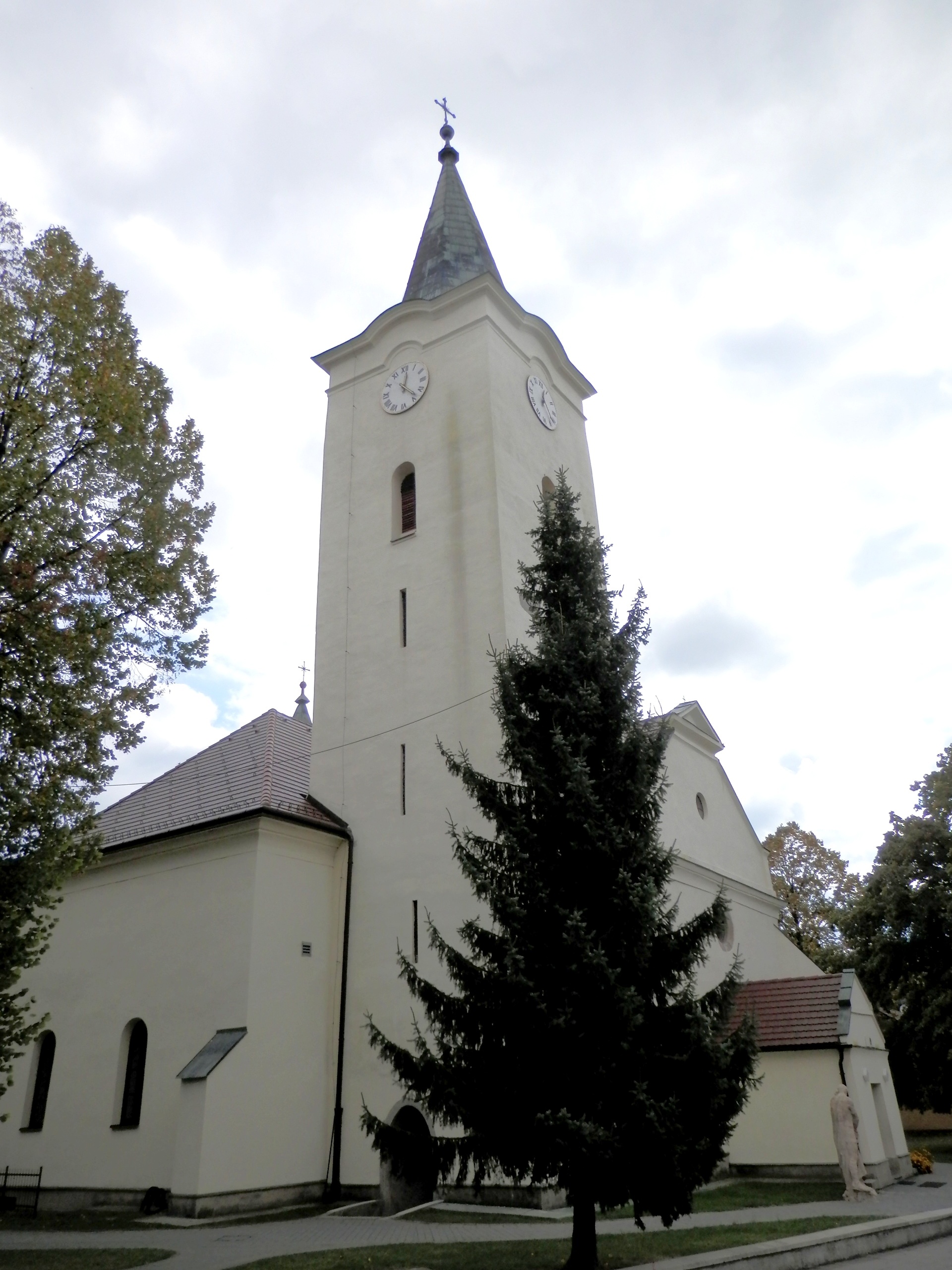
Photos: Jozef Kotulič, CC BY-SA 3.0 (Wikimedia Commons)
Lipany is a town in Slovakia.
Elevation: about 387 m above sea level. Population: 6,475 (2025). Mountains nearby: Spiš Magura.
Here and nearby on the site: 3 trails.
Facts: Wikidata, OpenStreetMap. More on Wikipedia
Trails nearby
All trails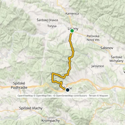 HardMulti-dayMarkedLipany ŠirokéElevation profile379–1 171 m31 kmascent 1 337 m≈ 10.5 h walkingunder 1 km from the centre
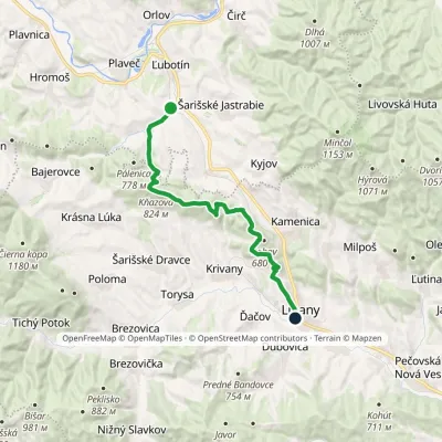 ModerateTwo-dayMarkedĎurková LipanyElevation profile384–826 m19.2 kmascent 570 m≈ 6 h walkingunder 1 km from the centre
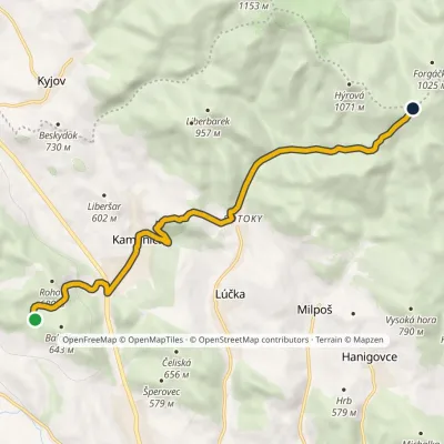 ModerateOne-dayMarkedKamenica Ždiare SaddleElevation profile466–975 m10.4 kmascent 689 m≈ 4 h walking3.6 km from the centre
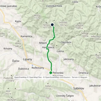 ModerateOne-dayMarkedČervenica pri Sabinove Sedlo ŽdiareElevation profile352–973 m10.9 kmascent 621 m≈ 4 h walking3.9 km from the centre
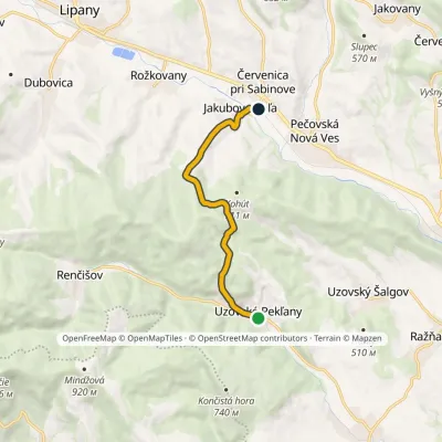 EasyOne-dayMarkedČervenica pri Sabinove Uzovské PekľanyElevation profile349–703 m7.9 kmascent 221 m≈ 2.5 h walking4.3 km from the centre
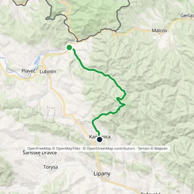 ModerateTwo-dayMarkedČirč junction Kamenica, junctionElevation profile477–1 153 m19.7 kmascent 676 m≈ 6.5 h walking4.4 km from the centre
Peaks nearby
All peaks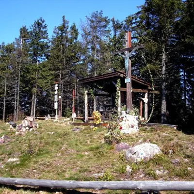 PeakSmrekovica (Branisko)Vyšný Slavkovaltitude 1 200 m14 km from the centreSmrekovica is the highest peak of the Branisko Mountains in eastern Slovakia, 1200 m high (1199.9 m to be exact).
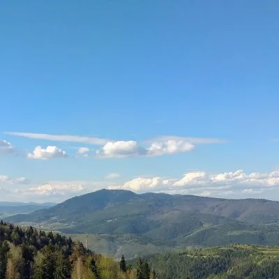 PeakSľubicaSlatvinaaltitude 1 129 m21 km from the centreSľubica is a 1129 m summit in the Branisko mountains of eastern Slovakia, the third highest of the range and the highest in its southern part, which bears the same name.
What to visit
All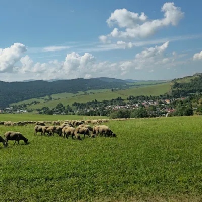 Cheese dairies & pasturesFarma Kamenica — Family Sheep Farm and Cheese Dairy in ŠarišKamenica5.8 km from the centreKamenica is a village in northern Šariš, in the valley of the Kameničanka stream, at about 483 m above sea level.
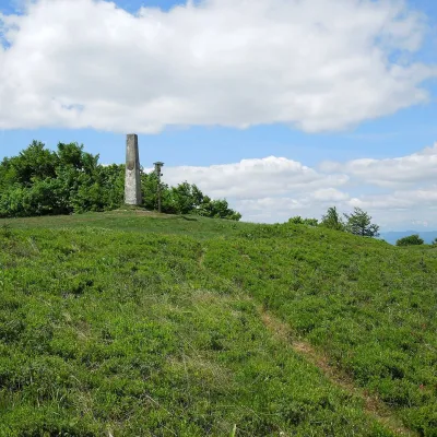 Mountain meadowThe meadow of Čergov's Minčol, the highest peak of the Čergov mountainsKyjovaltitude 1 157 m9.3 km from the centreČergov's Minčol (Minčol, 1,157 m) is the highest summit of the Čergov mountains in eastern Slovakia, where the districts of Bardejov, Sabinov and Stará Ľubovňa of the...
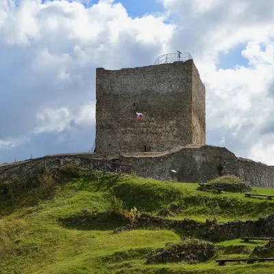 CastleŠariš Castle near PrešovVeľký Šariš19 km from the centreŠariš Castle (Šarišský hrad) is one of the largest medieval fortresses in Slovakia: its built-up area exceeds 2.7 ha.
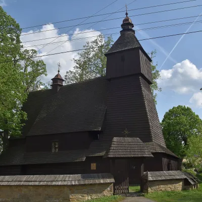 ChurchWooden Church of St Francis of Assisi, HervartovHervartov20 km from the centreIn the middle of the village, on a small rise, stands the Roman Catholic wooden Church of St Francis of Assisi, built at the end of the 15th century in the Gothic...
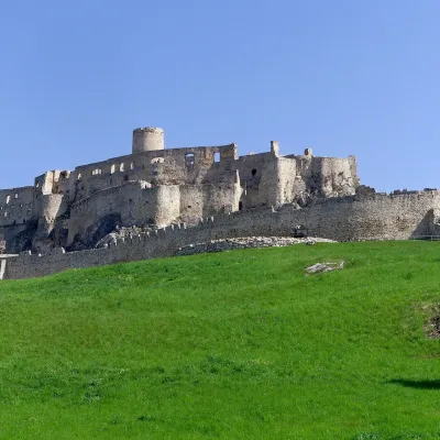 CastleSpiš CastleŽehra22 km from the centreA castle visible for dozens of kilometres Spiš Castle (Spišský hrad) is the ruin of a vast castle on top of a 634 m travertine rock that rises 200 m above the Spiš basin.
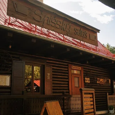 Koliby & Hutsul cuisineSpišský salaš below Spiš Castle: Spiš cooking since 1964Spišská Kapitula23 km from the centreBetween Spiš Castle and Spišská Kapitula, at the edge of the plain below the travertine mound of Sivá brada, stands the wooden Spišský salaš.
Craft nearby
All craft places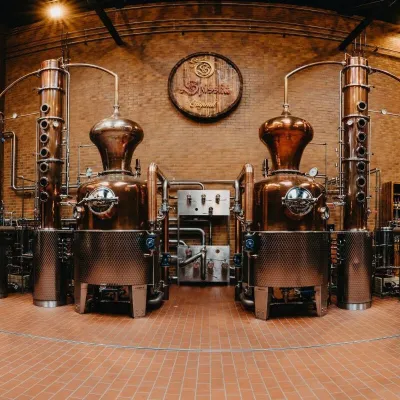 Craft producersSpišská Pálenica, Stará Ľubovňa: distillery tour and Spiš borovičkaStará Ľubovňa25 km from the centreSpiš boasts perhaps the oldest history of distilling in Europe: at the hillfort of Myšia Hôrka near Spišský Štvrtok, part of a distillation vessel from around 1500 BC...
 Craft producersCastle Distillery below Ľubovňa Castle: fruit spirits and tastingsStará Ľubovňa27 km from the centreStará Ľubovňa is a town in northern Spiš, overlooked by Ľubovňa Castle. For more than three and a half centuries Ľubovňa was one of the Spiš towns pledged to the...
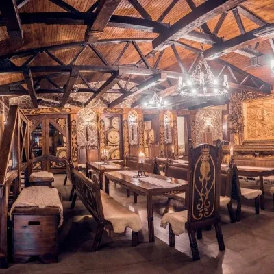 Craft producersNestville Distillery, Hniezdne — Home of the First Slovak WhiskyHniezdne29 km from the centreThis tradition is the basis for BGV, a company founded in 2001, which built the Nestville Distillery here.
Spas and thermal pools nearby
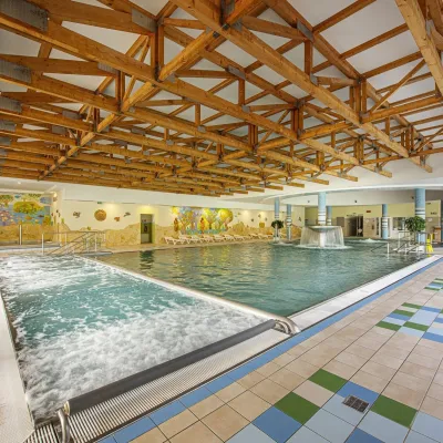
Huts, shelters and springs nearby
Getting there from Ukraine
Border crossings
- Uzhhorod – Vyšné Nemecké — road, 24/7
- Malyi Bereznyi – Ubľa — road, 24/7 For cars and buses; pedestrians not confirmed by the Ukrainian border service, lorries up to 3.5 t.
- Mali Selmentsi – Veľké Slemence (pedestrian) — pedestrian, 09:00–21:00 Kyiv time Pedestrians and cyclists only; inconvenient for the Tatras without onward transport.
- Chop – Čierna nad Tisou (rail) — rail, 24/7
By car
From Lviv ≈382 km, ≈5 h 15 min without queues: M-10 → Krakovets – Korczowa → A4 to Brzesko → DK75 to Nowy Sącz → DK87 via Piwniczna-Zdrój to the internal Schengen crossing Piwniczna – Mníšek nad Popradom → I/68 to Stará Ľubovňa (≈304 km, ≈3 h 50 min from the Ukrainian border). From Uzhhorod ≈183 km, ≈3 h: Vyšné Nemecké → I/19 to Košice → D1 to Prešov → I/68 via Sabinov and Lipany to Stará Ľubovňa. Via Uzhok and Ubľa ≈408 km, ≈6 h 55 min. The D1 requires an e-vignette (eznamka.sk).
Checked 23.10.2026; border crossing hours and timetables change — check before you travel.
