Kyseľ, mouth – Kláštorská roklina, mouth
Trail map
Route, springs and shelters: © OpenStreetMap contributors (ODbL) · elevation: Copernicus DEM © DLR e.V., © Airbus DS · Data & licences
About the trail
Route Kyseľ, mouth – Kláštorská roklina, mouth. Has yellow marking (regional route №8740, KST). Waymarking data: OpenStreetMap (© OpenStreetMap contributors, ODbL).
Officially marked regional tourist route No. 8740. Marking is yellow, sign — horizontal stripe on a white background. Marked and maintained by: KST. Length of the route — 2.7 km. Location: mountain range — Slovak Paradise, Slovakia.
At a glance
A short route of 2.7 km with 234 m of ascent from Kyseľ, mouth to Kláštorská roklina, mouth. Estimated walking time: about 1 h, not counting stops. Difficulty: easy. Waymarking: yellow.
Route stages
- 0–1 kmClimb of 200 m to Kláštorisko – Carthusian Monastery Ruins
- 1–1.5 kmGentle ups and downs at 730–800 m
- 1.5–2.5 kmDescent of 180 m to Kláštorská roklina, mouth
Steepest kilometre: km 0–1, a climb of 210 m (≈21%).
Water and overnight stays
A spring near the trail: at km 1.5.
When to go
The route can be walked most of the year; it is most comfortable from April to October.
Getting there
Start: Kyseľ, mouth. This is a one-way route: the finish is 2 km from the start in a straight line, so plan your way back in advance.
FAQ
- How long does the route take?
- Estimated walking time: about 1 h, not counting stops.
- Is there water on the route?
- A spring near the trail: at km 1.5.
Water and shelter on the route
- Prameň sv. Bruna Springkm 1.4 from the start · 110 m off the path · Not verified · 760 m
Comments
Trails nearby
All trails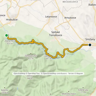 ModerateOne-dayMarkedSmižany, zastávka Hrdlo HornáduElevation profile483–667 m13.5 kmascent 422 m≈ 4 h walking
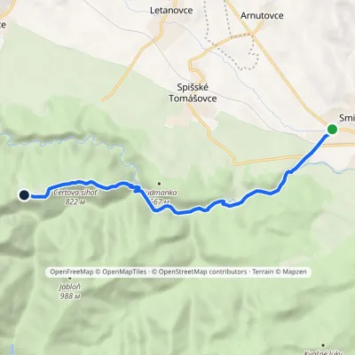 EasyOne-dayMarkedSmižany Kláštorisko, hutElevation profile484–839 m8.8 kmascent 377 m≈ 3 h walking
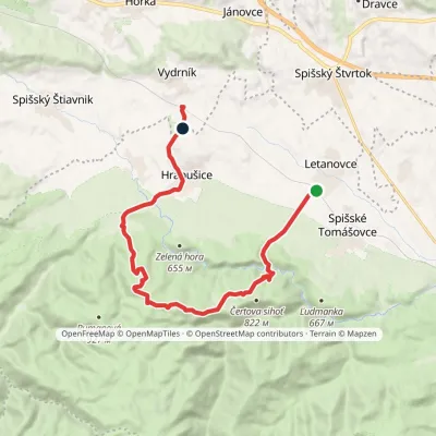 ModerateOne-dayMarkedVydrník, station Letanovce, stopElevation profile517–934 m16 kmascent 512 m≈ 5 h walking
Craft nearby
All craft places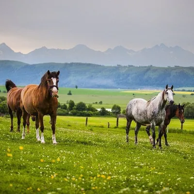 Horse ridingRanč u Trapera, Podlesok: Horse Rides in the Slovak ParadiseHrabušice5 km from the trailA little away from the main tourist bustle, below the forest, stands the family-run Ranč u Trapera, run by the Salaj family.
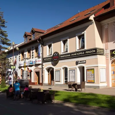 Craft beer & breweriesMinipivovar TATRAS, PopradPoprad16 km from the trailMinipivovar TATRAS is a brewpub on Poprad’s main square, Námestie sv. Egídia, housed in a building with a long brewing history.
 Water parks & thermal poolsAquaCity Poprad water parkPoprad16 km from the trailAquaCity Poprad is a large year-round water park and wellness complex in the town of Poprad, a few minutes from the centre; according to the complex, the High Tatras...
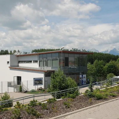 Water parks & thermal poolsThermal Park VrbovVrbov16 km from the trailThermal Park Vrbov is one of the best-known thermal baths in the Spiš region, on the southern edge of the village of Vrbov, about 6 km (as the crow flies) from...
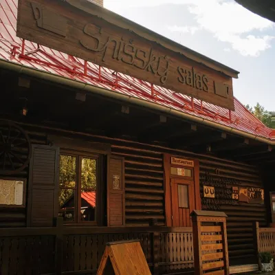 Koliby & Hutsul cuisineSpišský salaš below Spiš Castle: Spiš cooking since 1964Spišská Kapitula23 km from the trailBetween Spiš Castle and Spišská Kapitula, at the edge of the plain below the travertine mound of Sivá brada, stands the wooden Spišský salaš.
 Water parks & thermal poolsClimatic spas of the High Tatras: Nový Smokovec, Polianka, KotlinaVysoké Tatry27 km from the trailNový Smokovec is the best known of the climatic spas of the High Tatras. It grew up in a spruce forest at about 1010 m, south-west of Starý Smokovec, with which it...
