Koszarawa
Powiat żywiecki · Silesian Voivodeship · Poland
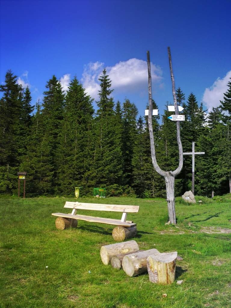
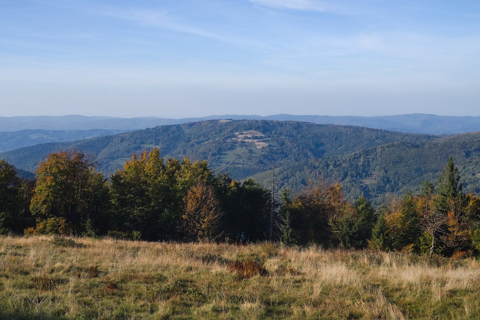
Photos: Jałowiec (Jałowiec Range); Lachów Groń
Koszarawa is a village in Poland.
Population: 2,252 (2021).
Here and nearby on the site: 2 peaks.
Facts: Wikidata, OpenStreetMap. More on Wikipedia
What's nearby
Trails nearby
All trails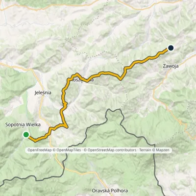 HardMulti-dayMarkedWodospad Sopotnia Above Przełęcz PrzysłopElevation profile490–1 111 m31.5 kmascent 1 619 m≈ 11 h walkingunder 1 km from the centre
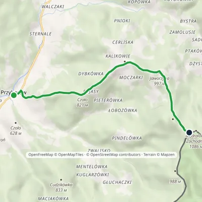 EasyOne-dayMarkedPrzyborów Mędralowa ZachodniaElevation profile521–1 060 m5.9 kmascent 571 m≈ 2.5 h walking2.4 km from the centre
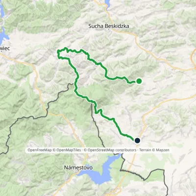 HardMulti-dayMarkedSidzina JabłonkaElevation profile507–1 723 m74.1 kmascent 3 189 m3.3 km from the centre
 HardMulti-dayMarkedMain Trail of BeskidyElevation profile309–1 723 m499.9 kmascent 19 519 m4.8 km from the centre
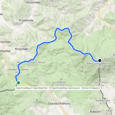 HardTwo-dayMarkedGajdošský chodníčekElevation profile802–1 723 m21.7 kmascent 1 672 m≈ 9 h walking4.8 km from the centre
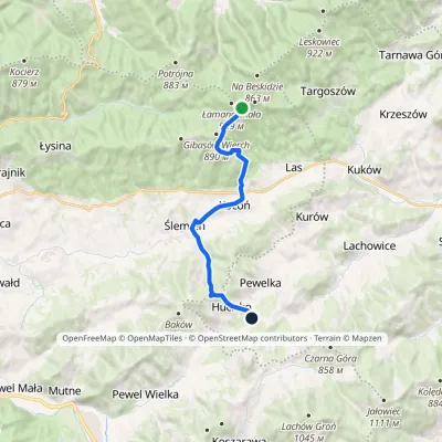 ModerateOne-dayMarkedHucisko Łamana SkałaElevation profile455–896 m12.5 kmascent 310 m≈ 3.5 h walking5 km from the centre
Peaks nearby
All peaks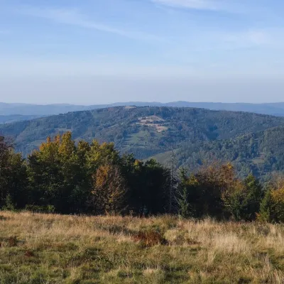 PeakLachów GrońKoszarawaaltitude 1 045 m3 km from the centreLachów Groń, formerly Buciorysz, is a 1045 m summit in the Jałowiec range. It closes a ridge branching off from Czerniawa Sucha, from which a pass at about 950 m...
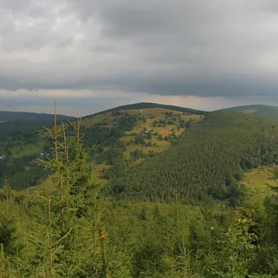 PeakCzerniawa SuchaZawojaaltitude 1 062 m4.9 km from the centreCzerniawa Sucha (also Suchy Groń or Sucha Góra) is a 1,062 m summit on the main ridge of the Jałowiec Range, north of the Babia Góra massif.
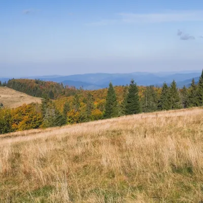 PeakMędralowaPrzyborówaltitude 1 169 m5.6 km from the centreMędralowa (Slovak Beskydok or Modrálová) is a 1169 m summit, the highest of the Mędralowa range (group) on the Polish–Slovak border.
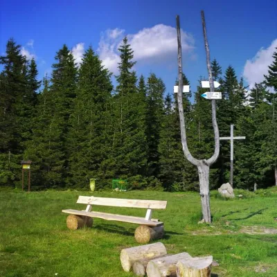 PeakJałowiec (Jałowiec Range)Koszarawaaltitude 1 111 m5.9 km from the centreJałowiec is a 1,111 m summit, the highest of the Jałowiec Range north of the Babia Góra massif in Poland.
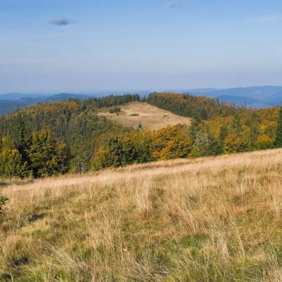 PeakMagurkaPrzyborówaltitude 1 121 m5.9 km from the centreMagurka is a 1121 m summit in the Mędralowa Group, a small mountain knot between the Klekociny pass (894 m) and Kolisty Groń, the lower top of Mędralowa (about 1150 m).
 PeakMała Babia Góraaltitude 1 517 m10 km from the centreMała Babia Góra, also called Cyl (Slovak: Malá Babia hora), is a summit of about 1,517 m in the Babia Góra massif on the Polish–Slovak border.
What to visit
All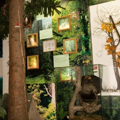 MuseumBabia Góra National Park Permanent Exhibition, ZawojaZawoja9.2 km from the centreThe permanent exhibition of the Babia Góra National Park (Wystawa Stała Babiogórskiego Parku Narodowego) is housed in the park's headquarters in Zawoja, in the part of...
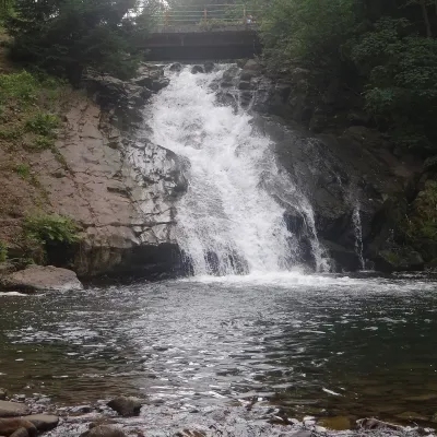 WaterfallSopotnia Wielka FallsSopotnia Wielka9.7 km from the centreSopotnia Wielka Falls (Wodospad w Sopotni Wielkiej) is the largest waterfall in the Polish Beskids. It drops on the Sopotnia stream right in the centre of the village...
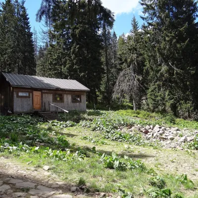 Mountain meadowMarkowe SzczawinyZawojaaltitude 1 180 m10 km from the centreMarkowe Szczawiny is a small meadow on the northern slopes of Babia Góra at about 1,180 m, in the commune of Zawoja in Sucha County, within Babia Góra National Park ...
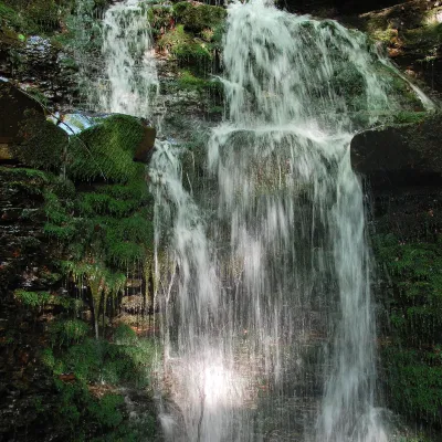 WaterfallWaterfall on the Mosorny PotokZawoja12 km from the centreThe waterfall on the Mosorny Potok (Wodospad na Mosornym Potoku), also called Mosorczyk, is one of the highest natural waterfalls of the Polish Beskids.
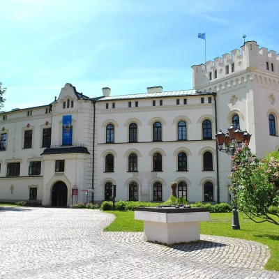 CastleŻywiec castles: Old Castle, Habsburg Palace and parkŻywiec15 km from the centreIn the very centre of Żywiec, two residences of the former lords of the Żywiec estate stand side by side — the Old Castle and the Habsburg Palace, or New Castle —...
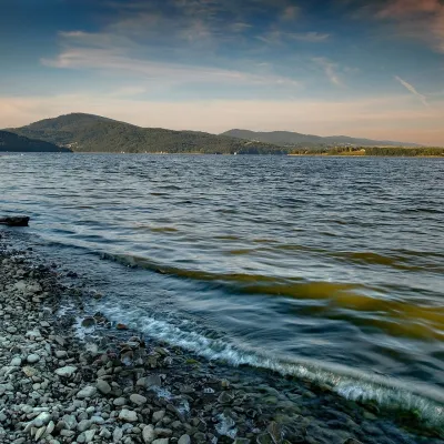 LakeLake Żywiec (Jezioro Żywieckie)Żywiec17 km from the centreLake Żywiec (Jezioro Żywieckie), also known as the Tresna Reservoir, is a large artificial lake on the Soła river beside the town of Żywiec, on the boundary of the...
Craft nearby
All craft places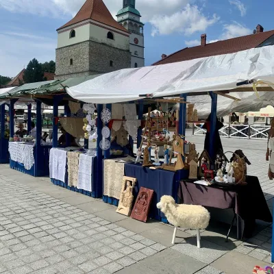 Markets & fairsFolk Art Fair in Żywiec during the Beskidy Week of CultureŻywiec15 km from the centreThe Beskidy Highlanders' Week of Culture (Tydzień Kultury Beskidzkiej, TKB) is Poland's largest folklore festival: it was first held in Wisła in 1964, and today, at...
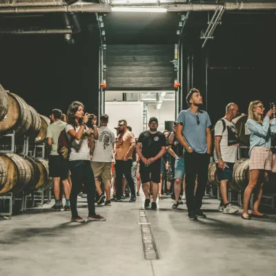 Craft beer & breweriesPINTA Brewery, Wieprz near Żywiec: tours and taproomWieprz16 km from the centrePINTA is the brewery that Poles associate with the start of the “beer revolution”; it calls itself the country's first craft brewery.
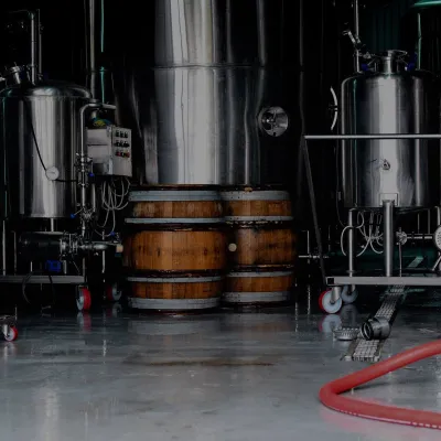 Craft beer & breweriesBrowar Zarzecze in the Żywiec Basin: craft brewery shopZarzecze19 km from the centreBrowar Zarzecze works in the village of Zarzecze near Pietrzykowice in the Żywiec Basin — a region where beer has been brewed since at least the 19th century and home...
Spas and thermal pools nearby

Huts, shelters and springs nearby
772 mMountain shelterStudenckie Schronisko Turystyczne "Chatka Lasek"Maków Beskids · PolandStanding23.10.2022On a trailOpen fire inside (smoke hut)Staffed
696 mMountain shelterAdamy ShelterMaków Beskids · PolandStanding50 m from a trailSleeps up to 40Staffed
Getting there from Ukraine
Border crossings
- Krakovets – Korczowa — road, 24/7
- Shehyni – Medyka — road, 24/7 Pedestrian crossing is not confirmed by the Ukrainian border service — check dpsu.gov.ua before the trip.
- Smilnytsia – Krościenko — road, 24/7
- Hrushiv – Budomierz — road, 24/7
- Mostyska – Przemyśl (rail) — rail, 24/7
By car
Lviv – Żywiec ≈412 km, ≈5 h 30 min without queues or tolls: M-10 → Krakovets – Korczowa → A4 to Kraków (≈249 km) → DK52 via Wadowice → DW781 and DW946 to Żywiec. ≈333 km, ≈4 h from the border. Alternative via the tolled A4 Kraków – Katowice and the S1 via Tychy and Bielsko-Biała: ≈457 km, ≈5 h 25 min.
Checked 23.10.2026; border crossing hours and timetables change — check before you travel.
