Mędralowa
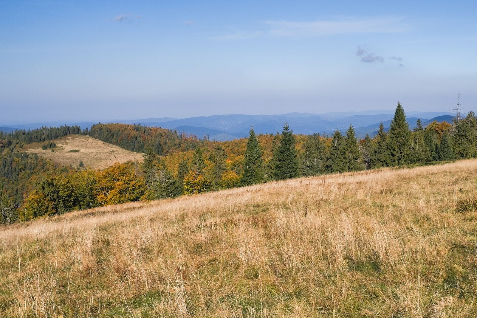
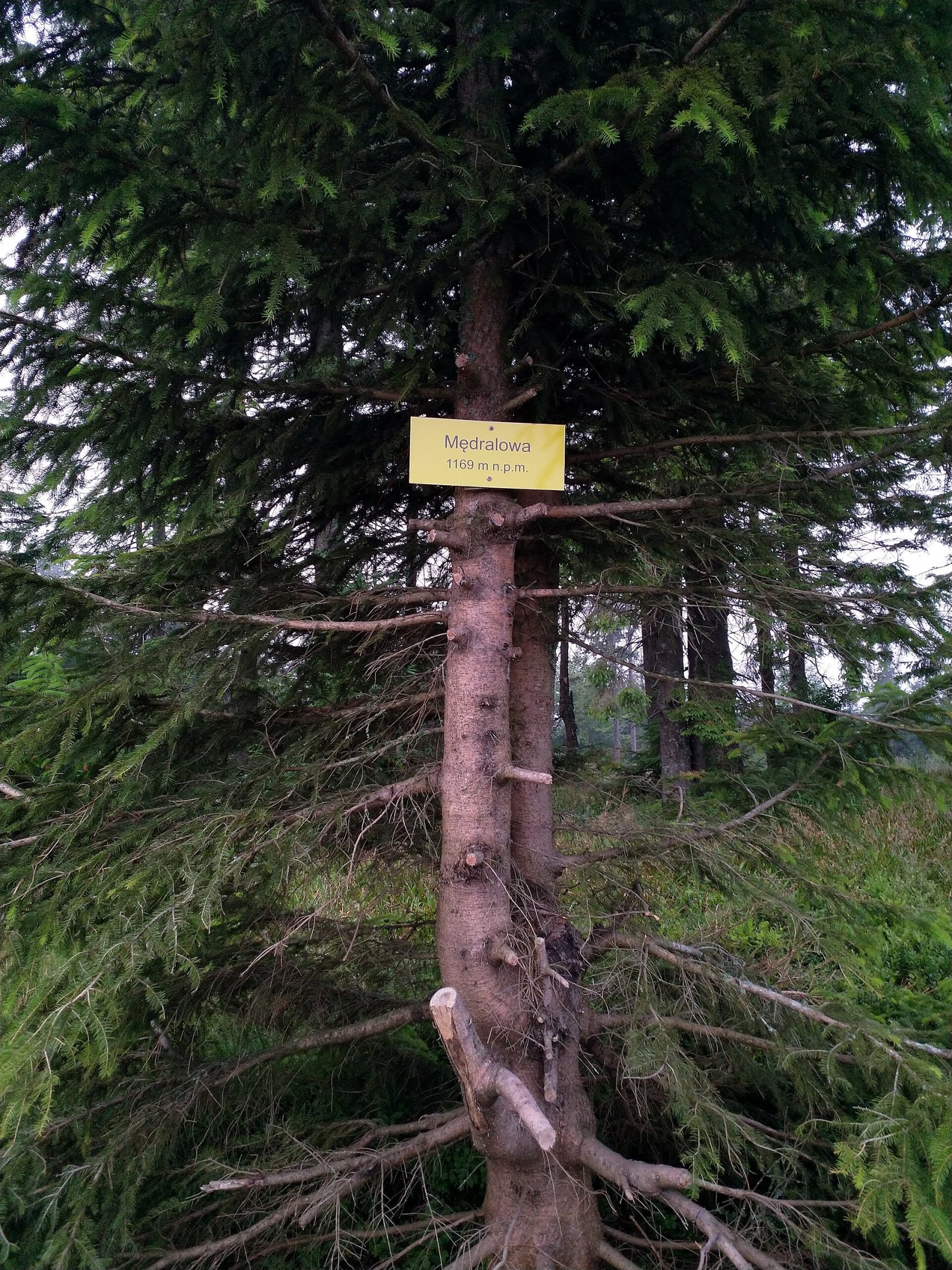
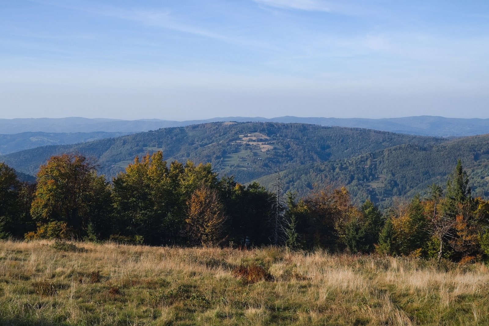
Mędralowa (Slovak Beskydok or Modrálová) is a 1169 m summit, the highest of the Mędralowa range (group) on the Polish–Slovak border. It lies on the ridge between the northern Jałowiec Pass (998 m), which separates it from the Babia Góra massif, and the Głuchaczki pass (830 m), beyond which the Pilsko group begins. The European main watershed follows this ridge: streams on the north flow into the Bystra and on to the Koszarawa (Baltic basin), those on the south into the Slovak Polhoranka (Black Sea basin). The Polish slopes belong to Przyborów (about 5.5 km) in the Silesian Voivodeship, the Slovak ones to Oravská Polhora (about 11 km); Zawoja and Korbielów are about 9 km away, Babia Góra less than 7 km.
460 m to the north-east is the lower top, Kolisty Groń (about 1150 m), with the Hala Mędralowa meadow between them. East of the summit, at 1086 m, lies the northernmost point of Slovakia.
How to get there / trails
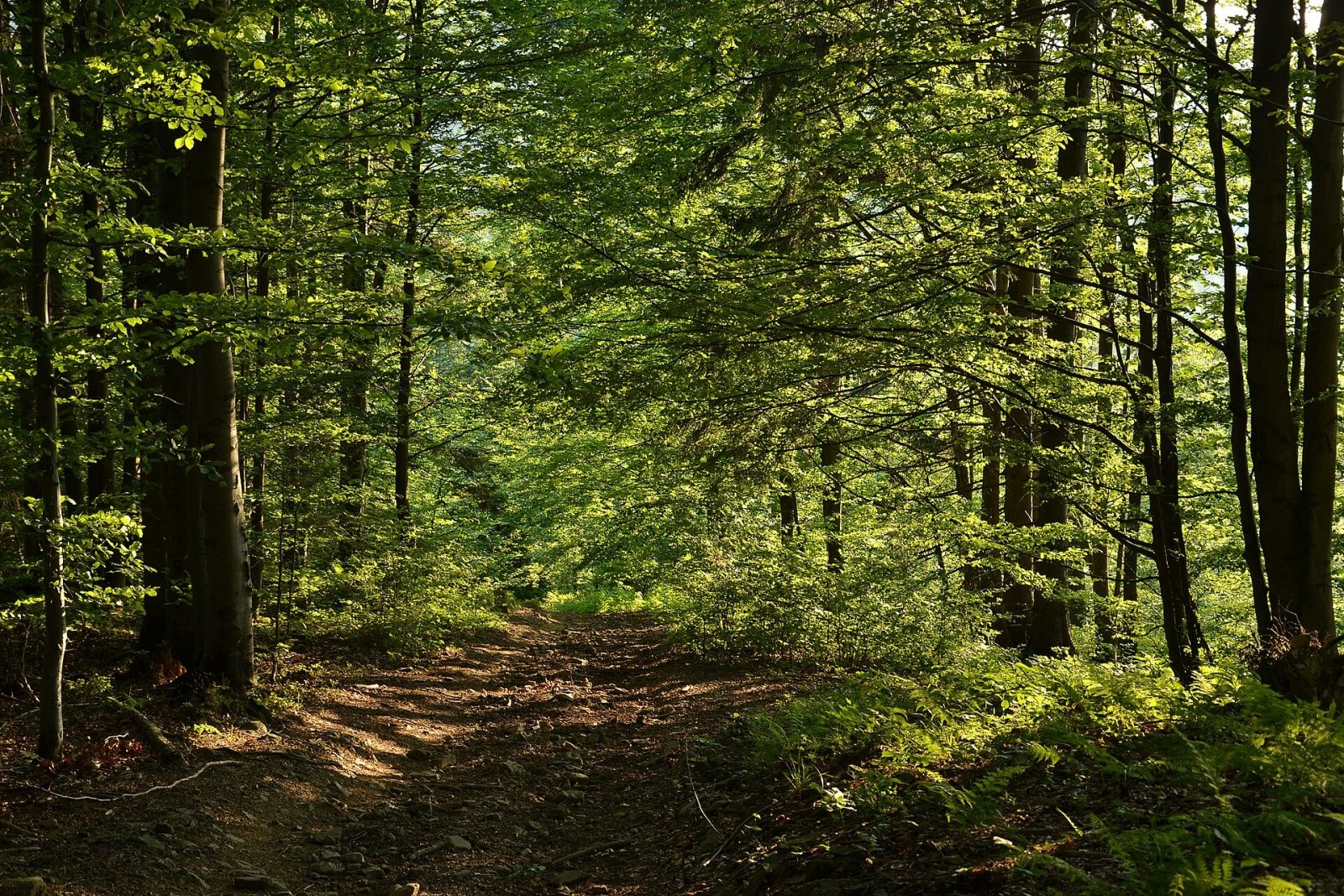
- The red Main Beskid Trail, Korbielów – Babia Góra section, follows the border over the summit; it is part of the popular traverse from Babia Góra to Pilsko.
- The green trail: Hucisko pass – Czerniawa Sucha – Kolisty Groń – Mędralowa – Babia Góra.
- On the Slovak side, the blue ridge trail (from the Hliny saddle in the west or from Malá Babia hora in the south-east) and the yellow trail from Oravská Polhora via the Jalovecké sedlo.
The view from the top
The summit itself is wooded, but partly open spots give limited yet distant views: Mała Babia Góra (1515 m) and Babia Góra (1723 m) dominate the south-east, Pilsko (1557 m) the south-west. In good visibility you can see the Silesian Beskids, part of the Kriváň Fatra, the Orava Magura, the Choč Mountains, the Ďumbier ridge of the Low Tatras and the edge of the Western Tatras. From the Hala Mędralowa meadow there is a view of Jałowiec and the Little Beskids.
Nature and history
The name has a tangled history. State Geoportal maps call the summit Beskidek. According to the regional writer Aleksy Siemionow the oldest known name is Wielki Jałowiec (recorded by Andrzej Komoniecki, 1658–1728), while the form «Mondralowa» was introduced by Kummersberg's map of 1855; an Austrian map of 1870 garbled it into «Mądraława», and only Kazimierz Sosnowski fixed it as Mędralowa. Sosnowski himself derived the name from A. Mędrala of Przyborów, a former owner of the summit pasture.
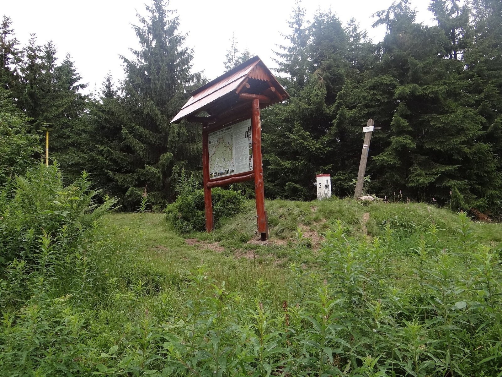
On Kolisty Groń stands the historic boundary post III/90: until 1564 the borders of Hungary, Poland and the Silesian lands met here, and during the Second World War those of the General Government, the Third Reich and Slovakia. In 1938–1939 the whole summit was Polish. During the war the Germans built earthworks along the ridge, and remains of the trenches can still be seen. A well-kept shepherd's hut on the meadow offers shelter from rain. There is a triangulation point on the summit.
Safety, season and rules
The trails here are easy, but the weather near Babia Góra changes quickly; further east the trail enters Babia Góra National Park with its own rules. The Slovak slopes lie in the Horná Orava Protected Landscape Area. Rescue: in Poland GOPR (985 or +48 601 100 300), in Slovakia HZS (18 300 or +421 18 300); emergency number 112.
Photos: Adrian Tync, CC BY-SA 4.0; Niegodzisie, CC BY-SA 4.0; Jerzy Opioła, CC BY-SA 4.0; Pudelek, CC BY 3.0; Adrian Tync, CC BY-SA 4.0 — Wikimedia Commons.
Getting there from Ukraine
Border crossings
- Krakovets – Korczowa — road, 24/7
- Shehyni – Medyka — road, 24/7 Pedestrian crossing is not confirmed by the Ukrainian border service — check dpsu.gov.ua before the trip.
- Smilnytsia – Krościenko — road, 24/7
- Hrushiv – Budomierz — road, 24/7
- Mostyska – Przemyśl (rail) — rail, 24/7
By car
Lviv – Żywiec ≈412 km, ≈5 h 30 min without queues or tolls: M-10 → Krakovets – Korczowa → A4 to Kraków (≈249 km) → DK52 via Wadowice → DW781 and DW946 to Żywiec. ≈333 km, ≈4 h from the border. Alternative via the tolled A4 Kraków – Katowice and the S1 via Tychy and Bielsko-Biała: ≈457 km, ≈5 h 25 min.
Checked 23.10.2026; border crossing hours and timetables change — check before you travel.
Location on the map
Water and shelter nearby
- Spring below Mędralowa110 m · Not verified · 1 144 m
- Szałas Shelter, 1 144 m130 m · Not verified · 1 144 m
- Spring below Priehyba Pass (north-west slope)2.3 km · Not verified · 855 m
Comments
Trails nearby
All trails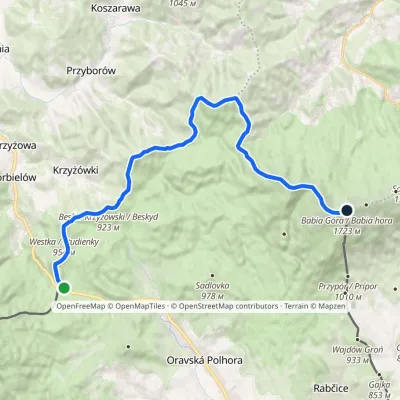 HardTwo-dayMarkedGajdošský chodníčekElevation profile802–1 723 m21.7 kmascent 1 672 m≈ 9 h walkingunder 1 km from Mędralowa
 HardMulti-dayMarkedMain Trail of BeskidyElevation profile309–1 723 m499.9 kmascent 19 519 munder 1 km from Mędralowa
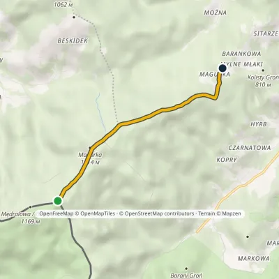 EasyOne-dayMarkedMędralowa Mylne MłakiElevation profile808–1 154 m3.7 kmascent 12 m≈ 60 min walkingunder 1 km from Mędralowa
Nearby attractions
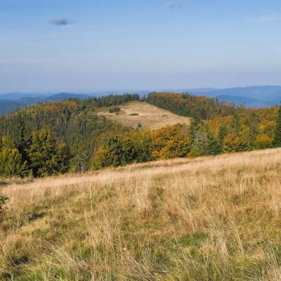 PeakMagurkaPrzyborówaltitude 1 121 m1.3 km from MędralowaMagurka is a 1121 m summit in the Mędralowa Group, a small mountain knot between the Klekociny pass (894 m) and Kolisty Groń, the lower top of Mędralowa (about 1150 m).
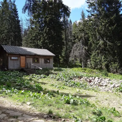 Mountain meadowMarkowe SzczawinyZawojaaltitude 1 180 m4.9 km from MędralowaMarkowe Szczawiny is a small meadow on the northern slopes of Babia Góra at about 1,180 m, in the commune of Zawoja in Sucha County, within Babia Góra National Park ...
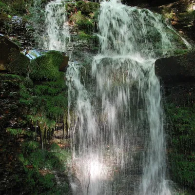 WaterfallWaterfall on the Mosorny PotokZawoja7.7 km from MędralowaThe waterfall on the Mosorny Potok (Wodospad na Mosornym Potoku), also called Mosorczyk, is one of the highest natural waterfalls of the Polish Beskids.
Craft nearby
All craft places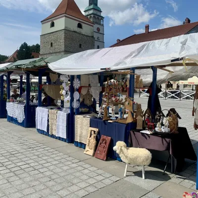 Markets & fairsFolk Art Fair in Żywiec during the Beskidy Week of CultureŻywiec20 km from MędralowaThe Beskidy Highlanders' Week of Culture (Tydzień Kultury Beskidzkiej, TKB) is Poland's largest folklore festival: it was first held in Wisła in 1964, and today, at...
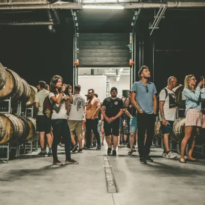 Craft beer & breweriesPINTA Brewery, Wieprz near Żywiec: tours and taproomWieprz21 km from MędralowaPINTA is the brewery that Poles associate with the start of the “beer revolution”; it calls itself the country's first craft brewery.
 Water parks & thermal poolsAquapark Leśna (Żywiec)Leśna24 km from MędralowaAquapark Leśna (also called Aquapark Żywiec) is a swimming-pool complex in the village of Leśna, a few kilometres from Żywiec, in the Żywiec Basin, surrounded by the...
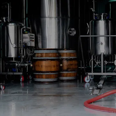 Craft beer & breweriesBrowar Zarzecze in the Żywiec Basin: craft brewery shopZarzecze24 km from MędralowaBrowar Zarzecze works in the village of Zarzecze near Pietrzykowice in the Żywiec Basin — a region where beer has been brewed since at least the 19th century and home...
 Cheese dairies & pasturesBacówka na Bukowinie, Żabnica: sheep's cheese and alpacasWęgierska Górka24 km from MędralowaBacówka na Bukowinie stands on a slope above the village of Żabnica, next to Węgierska Górka, where the Żywiec Beskids meet the Silesian Beskids.
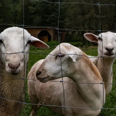 Eco farmsOrawskie Ranczo Educational Farm, Harkabuz: animals and craft workshopsHarkabuz28 km from MędralowaOrawskie Ranczo is a small family educational farm (zagroda edukacyjna) in the village of Harkabuz near Raba Wyżna, where Orawa meets Podhale.
