Lachów Groń
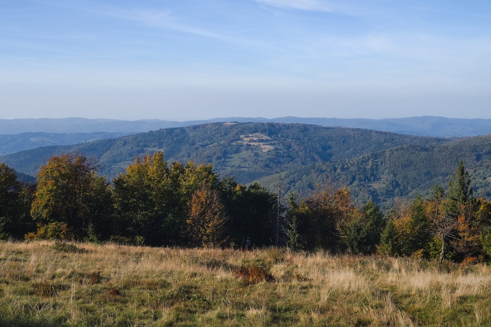
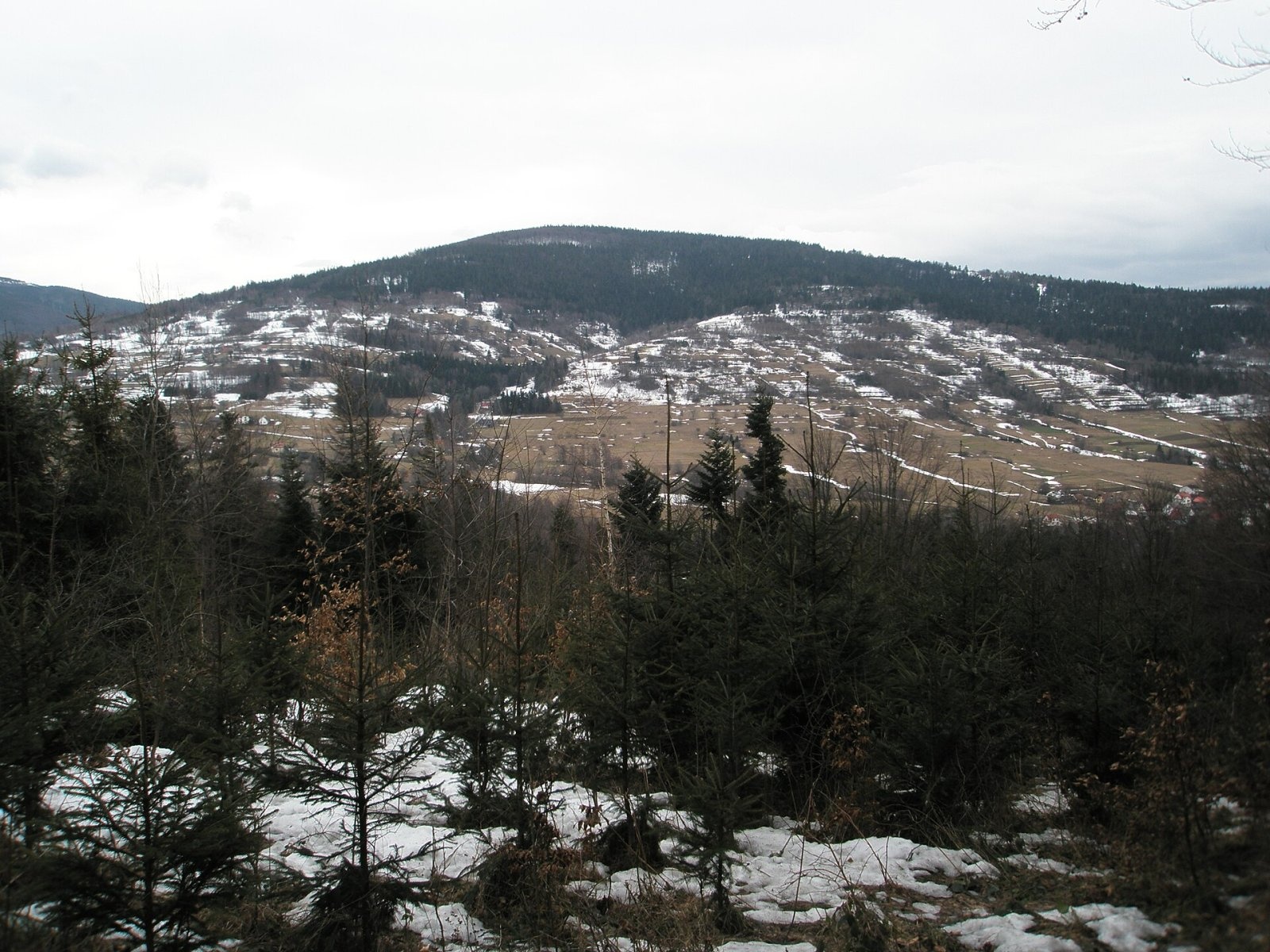
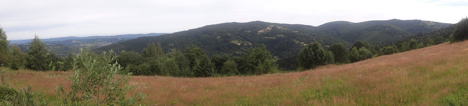
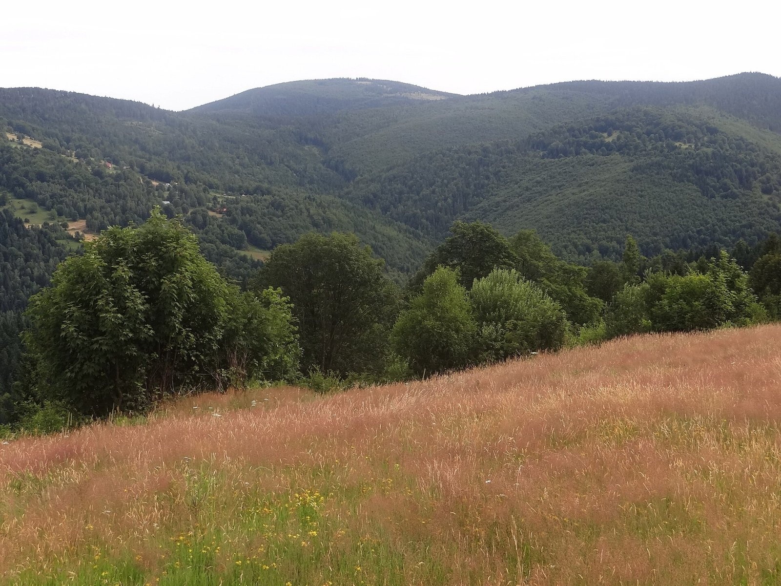
Lachów Groń, formerly Buciorysz, is a 1045 m summit in the Jałowiec range. It closes a ridge branching off from Czerniawa Sucha, from which a pass at about 950 m separates it. The mountain has two tops of almost equal height, 280 m apart and divided by a shallow saddle. The Koszarawa river flows around it on the north and west, and its tributary the Bystra on the south. Fields and houses of the Bystra settlement, part of Koszarawa village, climb high up the southern slopes. The summit lies in Koszarawa commune, Żywiec County, Silesian Voivodeship; the village centre is about 3 km away, Jeleśnia 8 km and Żywiec over 17 km.
In Jerzy Kondracki's regionalisation the Jałowiec range belongs to the Maków Beskids; tourist maps usually count it as part of the Żywiec Beskids, and the newest 2018 scheme places it in the Żywiec-Orawa Beskids.
How to get there / trails
The yellow trail Koszarawa – Lachów Groń – Czerniawa Sucha – Trzebuńska pass – Jałowiec crosses the summit. The climb from Koszarawa leads through fields, so the views start on the way up. The trail then follows the ridge to Jałowiec, the highest peak of the range.
The view from the top
The summit offers a wide panorama. To the east and south-east stretch the Babia Góra massif with Cyl and the Polica range, where Okrąglica is easy to spot by its telecom mast. To the north-east there is a good view of nearby Jałowiec, and to the south of Pilsko.
Conversely, the characteristic double-humped summit is well seen from the Hala Mędralowa meadow on the Slovak border, from the glade below Wytrzyszczoń above the Koszarawa valley and from around Kalikowy Groń, where Lachów Groń, Jałowiec and Czerniawa Sucha appear as a single panorama.
Nature and history
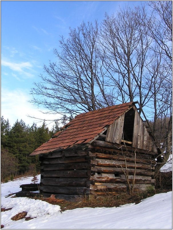
The Hala Janoszkowa meadow covers the area below the summit and the top itself. On its eastern edge stands a former shepherds' hut now used by hikers: you can spend the night there if needed, though in rather primitive conditions.
The name Lachów Groń was introduced on Austrian maps at the end of the 19th century. According to Bronisław Gustawicz, an expert on the Western Beskids, the original name was Buciorysz. The Geographical Dictionary of 1883 also gives it: «Between the Koszarawa and the Bystra, within Koszarawa commune, extends the broad summit of Buciorysz with numerous glades», at 1048 m. Władysław Midowicz likewise considered it the original name, and the regional writer Aleksy Siemionow insisted it should be restored. Lachów Groń prevailed, however, and is the name in the state register of geographical names.
Safety, season and rules
The trail is easy, but the open meadow is windy in bad weather and in fog it is easy to lose the waymarks. The hut is only a shelter with no facilities. Mountain rescue is GOPR: 985 or +48 601 100 300; emergency number 112.
Photos: Adrian Tync, CC BY-SA 4.0; Samsong, CC BY-SA 3.0; Jerzy Opioła, CC BY-SA 4.0; Jerzy Opioła, CC BY-SA 4.0; Original uploader was Giraff at pl.wikipedia, CC BY-SA 3.0 — Wikimedia Commons.
Getting there from Ukraine
Border crossings
- Krakovets – Korczowa — road, 24/7
- Shehyni – Medyka — road, 24/7 Pedestrian crossing is not confirmed by the Ukrainian border service — check dpsu.gov.ua before the trip.
- Smilnytsia – Krościenko — road, 24/7
- Hrushiv – Budomierz — road, 24/7
- Mostyska – Przemyśl (rail) — rail, 24/7
By car
Lviv – Żywiec ≈412 km, ≈5 h 30 min without queues or tolls: M-10 → Krakovets – Korczowa → A4 to Kraków (≈249 km) → DK52 via Wadowice → DW781 and DW946 to Żywiec. ≈333 km, ≈4 h from the border. Alternative via the tolled A4 Kraków – Katowice and the S1 via Tychy and Bielsko-Biała: ≈457 km, ≈5 h 25 min.
Checked 23.10.2026; border crossing hours and timetables change — check before you travel.
Location on the map
Water and shelter nearby
- Spring below Lachów Groń340 m · Not verified · 1 033 m
- Hut below Lachów Groń370 m · Not verified · 1 030 m
- Hut below Kobyla Głowa2.7 km · Not verified · 824 m
Comments
Trails nearby
All trails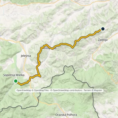 HardMulti-dayMarkedWodospad Sopotnia Above Przełęcz PrzysłopElevation profile490–1 111 m31.5 kmascent 1 619 m≈ 11 h walkingunder 1 km from Lachów Groń
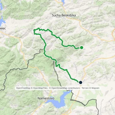 HardMulti-dayMarkedSidzina JabłonkaElevation profile507–1 723 m74.1 kmascent 3 189 m1 km from Lachów Groń
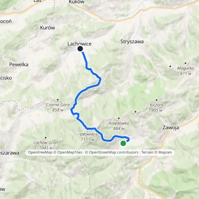 ModerateOne-dayMarkedZawoja LachowiceElevation profile447–1 111 m12.3 kmascent 587 m≈ 4 h walking2.5 km from Lachów Groń
Nearby attractions
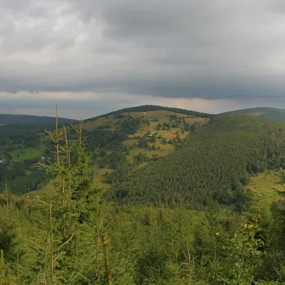 PeakCzerniawa SuchaZawojaaltitude 1 062 m2.6 km from Lachów GrońCzerniawa Sucha (also Suchy Groń or Sucha Góra) is a 1,062 m summit on the main ridge of the Jałowiec Range, north of the Babia Góra massif.
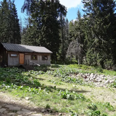 Mountain meadowMarkowe SzczawinyZawojaaltitude 1 180 m9.5 km from Lachów GrońMarkowe Szczawiny is a small meadow on the northern slopes of Babia Góra at about 1,180 m, in the commune of Zawoja in Sucha County, within Babia Góra National Park ...
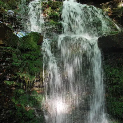 WaterfallWaterfall on the Mosorny PotokZawoja9.5 km from Lachów GrońThe waterfall on the Mosorny Potok (Wodospad na Mosornym Potoku), also called Mosorczyk, is one of the highest natural waterfalls of the Polish Beskids.
Craft nearby
All craft places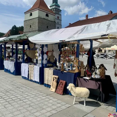 Markets & fairsFolk Art Fair in Żywiec during the Beskidy Week of CultureŻywiec17 km from Lachów GrońThe Beskidy Highlanders' Week of Culture (Tydzień Kultury Beskidzkiej, TKB) is Poland's largest folklore festival: it was first held in Wisła in 1964, and today, at...
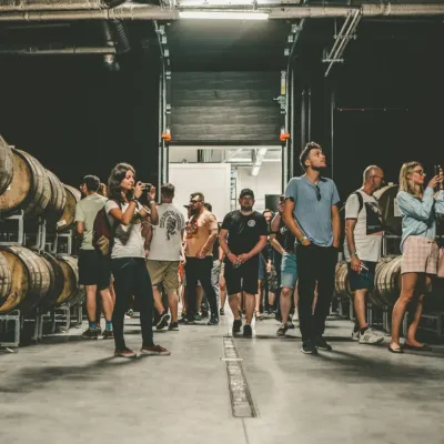 Craft beer & breweriesPINTA Brewery, Wieprz near Żywiec: tours and taproomWieprz19 km from Lachów GrońPINTA is the brewery that Poles associate with the start of the “beer revolution”; it calls itself the country's first craft brewery.
 Craft beer & breweriesBrowar Zarzecze in the Żywiec Basin: craft brewery shopZarzecze21 km from Lachów GrońBrowar Zarzecze works in the village of Zarzecze near Pietrzykowice in the Żywiec Basin — a region where beer has been brewed since at least the 19th century and home...
 Water parks & thermal poolsAquapark Leśna (Żywiec)Leśna21 km from Lachów GrońAquapark Leśna (also called Aquapark Żywiec) is a swimming-pool complex in the village of Leśna, a few kilometres from Żywiec, in the Żywiec Basin, surrounded by the...
 Cheese dairies & pasturesBacówka na Bukowinie, Żabnica: sheep's cheese and alpacasWęgierska Górka23 km from Lachów GrońBacówka na Bukowinie stands on a slope above the village of Żabnica, next to Węgierska Górka, where the Żywiec Beskids meet the Silesian Beskids.
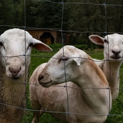 Eco farmsOrawskie Ranczo Educational Farm, Harkabuz: animals and craft workshopsHarkabuz32 km from Lachów GrońOrawskie Ranczo is a small family educational farm (zagroda edukacyjna) in the village of Harkabuz near Raba Wyżna, where Orawa meets Podhale.
