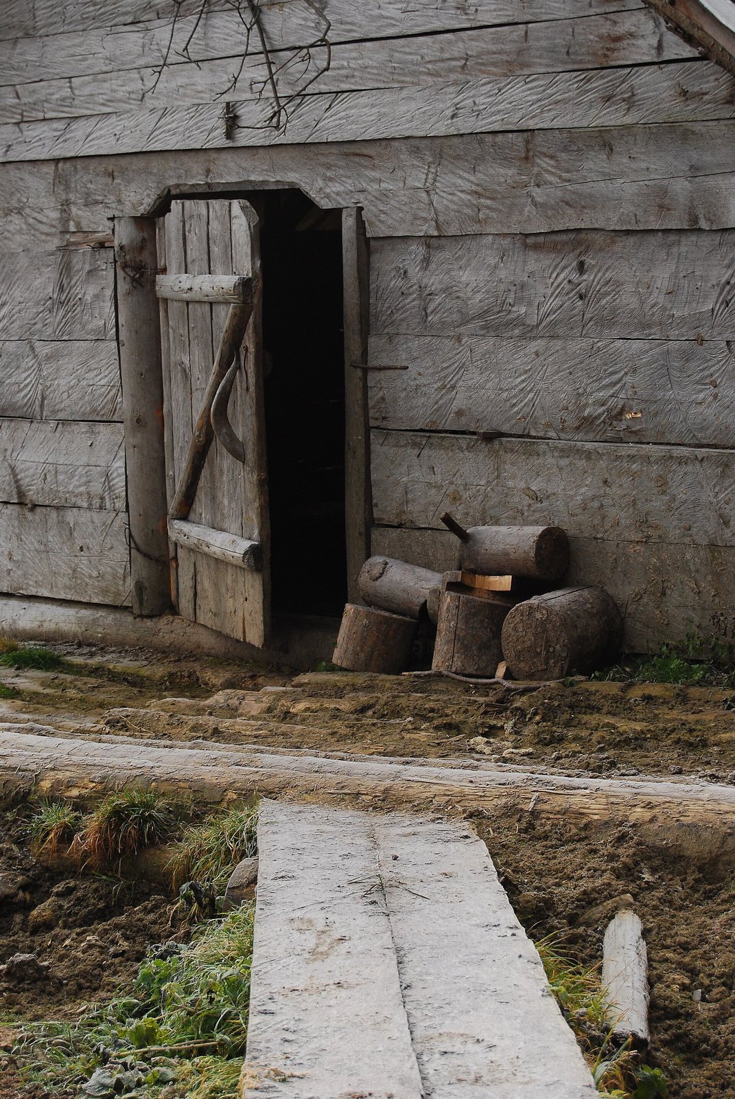
- Photo: Valentin Lupul / Wikimedia Commons, CC BY 3.0
Condition
Not verifiedNo recent reports. Bring a tent and, if you pass by, tell us what you saw.
Last edited on the OSM map 05.04.2024
- 1 150 m
About
Chornohora range, about 1 150 m above sea level. The nearest settlement is Voronenko, about 3.7 km in a straight line. 8 of the site’s trails pass nearby, including “Voronenko village, via Mount Kukul to Vorokhta”.
The nearest known spring is 250 m away.
In an emergency in the mountains call the rescuers: 101 or 112.
Comments
Travellers’ experience: reports, tips, questions.
No one has written here yet. Be the first — your experience helps others.
On the map
Coordinates: 48.24896, 24.48446
How to get there
Trails nearby
 HardOne-dayVoronenko village to Vorokhtavia Mount KukulElevation profile745–1 451 m30.3 kmascent 811 m≈ 9 h walking
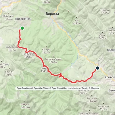 HardOne-dayVoronenko village to Kryvopillia villagevia Mount KukulElevation profile868–1 539 m26.9 kmascent 1 284 m≈ 9 h walking
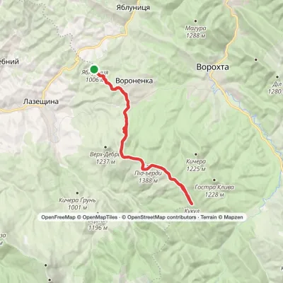 HardOne-dayVoronenko village loopvia Mount KukulElevation profile880–1 539 m29.5 kmascent 959 m≈ 9 h walking
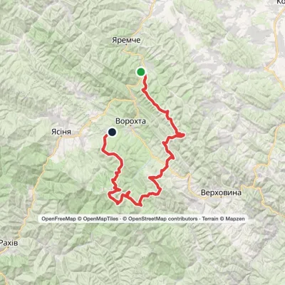 HardMulti-dayMykulychyn village to Voronenko villagevia Mount Khorde, Mount Pozhyzhevska +2Elevation profile587–2 061 m93 kmascent 4 527 m
 HardTwo-dayIltsi village to Voronenko villagevia Mount KukulElevation profile637–1 586 m45.8 kmascent 1 957 m
 ModerateOne-dayMarkedVoronenko village Mount KukulElevation profile832–1 539 m13.4 kmascent 779 m≈ 4.5 h walking
Nearest settlement: Voronenko, about 3.7 km in a straight line.
Report the condition
Been here recently? Tell us what you saw and add photos — your report appears on the page right away with today’s date.
Wildlife nearby
All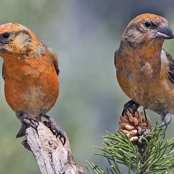
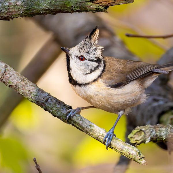
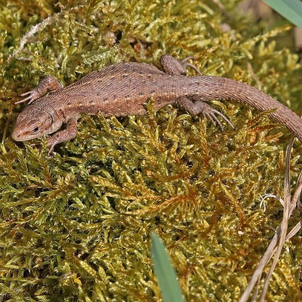
Based on naturalists’ records nearby (GBIF, iNaturalist), matched by altitude, habitat and season. Sightings are not guaranteed.
