Klecza Dolna
Wadowice County · Lesser Poland Voivodeship · Poland
Klecza Dolna is a village in Poland.
Population: 2,545 (2021).
Here and nearby on the site: 1 trail.
Facts: Wikidata, OpenStreetMap. More on Wikipedia
Comments
Travellers’ experience: reports, tips, questions.
Share your experienceSign in to write a comment, an «I was here» report or ask a question. There are no anonymous comments — that keeps the conversation honest.
No ads, insults or other people’s contacts. The first comment of a new author is checked by hand.How we handle data
No one has written here yet. Be the first — your experience helps others.
What's nearby
Trails nearby
All trails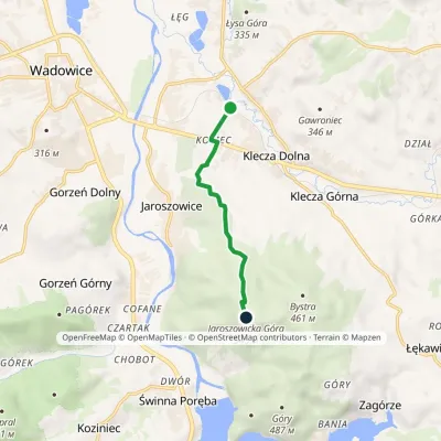 EasyOne-dayMarkedKlecza Dolna Jaroszowicka GóraElevation profile269–545 m4.6 kmascent 293 m≈ 1.5 h walking1.1 km from the centre
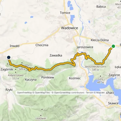 ModerateOne-dayMarkedTrail of Emil ZegadłowiczElevation profile263–565 m20.9 kmascent 855 m≈ 6.5 h walking1.6 km from the centre
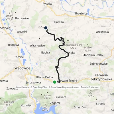 ModerateOne-dayMarkedKlecza Górna Wyźrał, airmen's monumentElevation profile274–429 m18 kmascent 469 m≈ 5.5 h walking1.8 km from the centre
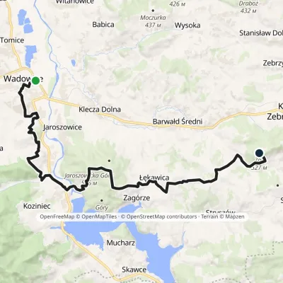 HardOne-dayMarkedWadowice ŻarElevation profile259–545 m24.2 kmascent 815 m≈ 7.5 h walking2.6 km from the centre
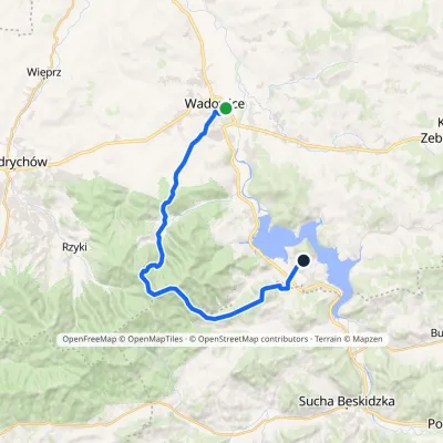 HardOne-dayMarkedCzesław Panczakiewicz TrailElevation profile259–890 m23.9 kmascent 921 m≈ 7.5 h walking3.5 km from the centre
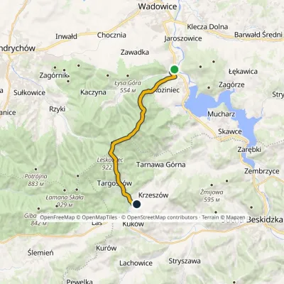 ModerateOne-dayMarkedCzartak KrzeszówElevation profile274–922 m14.6 kmascent 716 m≈ 5 h walking3.8 km from the centre
Peaks nearby
All peaks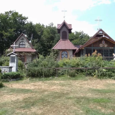 PeakGroń Jana Pawła IIRzykialtitude 890 m11 km from the centreGroń Jana Pawła II (John Paul II's Groń) is an 890 m summit in the eastern part of the Little Beskids in southern Poland, in Wadowice County of the Lesser Poland...
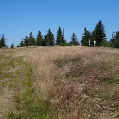 PeakLeskowiecRzykialtitude 922 m12 km from the centreLeskowiec is a 922 m summit in the eastern part of the Little Beskids, in the Łamana Skała range of southern Poland.
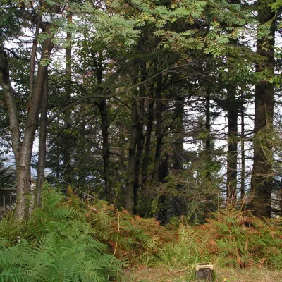 PeakŁamana SkałaLasaltitude 929 m16 km from the centreŁamana Skała (on many maps also called Madohora) is a 929 m mountain in the Little Beskids (Beskid Mały) in southern Poland.
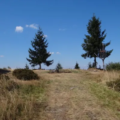 PeakPotrójnaRzykialtitude 883 m16 km from the centrePotrójna is a twin-topped mountain in the Andrychów Beskids, the eastern part of the Little Beskids (Beskid Mały).
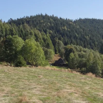 PeakGibasów WierchKocońaltitude 890 m17 km from the centre1 trail to the topGibasów Wierch (also Wielki Gibasów Groń) is an 890 m summit in the Łamana Skała range of the Little Beskids (more precisely in its part called the Łysina range) in...
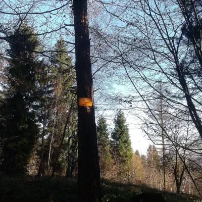 PeakBabica (Maków Beskids)Trzebuniaaltitude 728 m21 km from the centreBabica is a wooded summit about 728 m high in the Makowski Beskids in the south of the Lesser Poland Voivodeship, Poland.
What to visit
All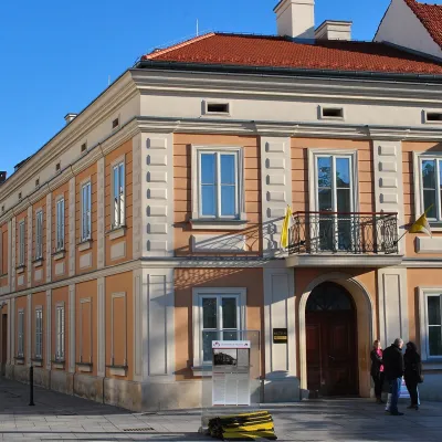 MuseumJohn Paul II Family Home in WadowiceWadowice3.9 km from the centreThe Holy Father John Paul II Family Home museum (Muzeum Dom Rodzinny Ojca Świętego Jana Pawła II) in Wadowice — a town in the foothills of the Little Beskids —...
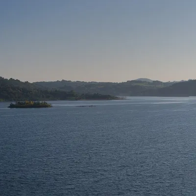 LakeLake Mucharz (Jezioro Mucharskie)Świnna Poręba · Little Beskids5.7 km from the centre310 m above sea levelarea 8.2–10.4 km²Lake Mucharz (Jezioro Mucharskie) is the youngest large reservoir of the Polish Carpathians. It lies on the Skawa river among the hills of the Beskid Mały, in the...
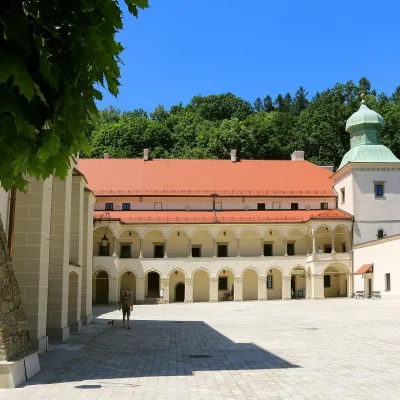 CastleSucha Beskidzka Castle (Little Wawel)Sucha Beskidzka14 km from the centreSucha Castle in the town of Sucha Beskidzka is a Renaissance magnate residence at the foot of Mount Jasień, near the point where the Stryszawka flows into the Skawa.
Getting there from Ukraine
Border crossings
- Krakovets – Korczowa — road, 24/7
- Shehyni – Medyka — road, 24/7 Pedestrian crossing is not confirmed by the Ukrainian border service — check dpsu.gov.ua before the trip.
- Smilnytsia – Krościenko — road, 24/7
- Hrushiv – Budomierz — road, 24/7
- Mostyska – Przemyśl (rail) — rail, 24/7
By car
Lviv – Żywiec ≈412 km, ≈5 h 30 min without queues or tolls: M-10 → Krakovets – Korczowa → A4 to Kraków (≈249 km) → DK52 via Wadowice → DW781 and DW946 to Żywiec. ≈333 km, ≈4 h from the border. Alternative via the tolled A4 Kraków – Katowice and the S1 via Tychy and Bielsko-Biała: ≈457 km, ≈5 h 25 min.
Checked 23.10.2026; border crossing hours and timetables change — check before you travel.
