Potrójna
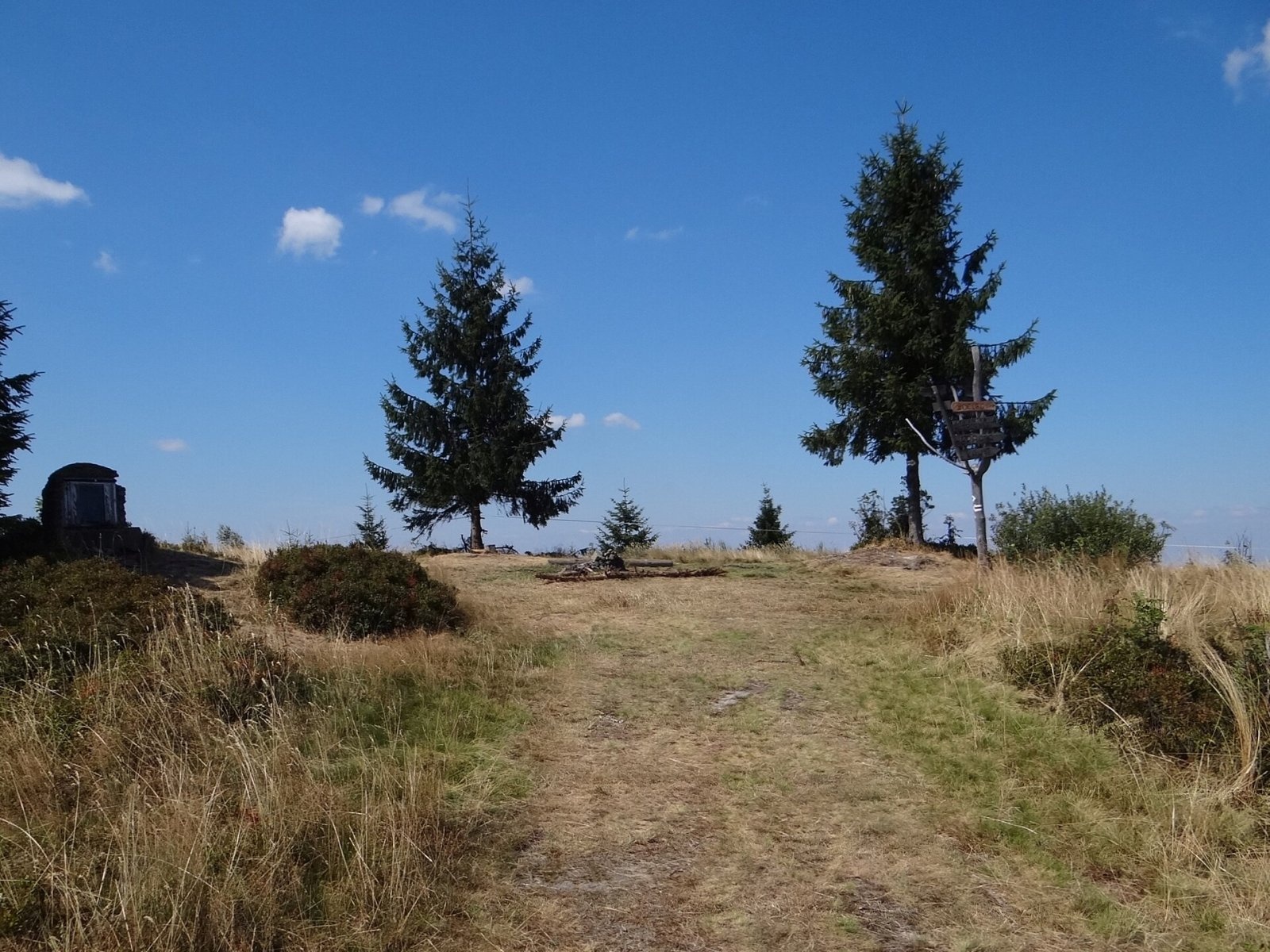
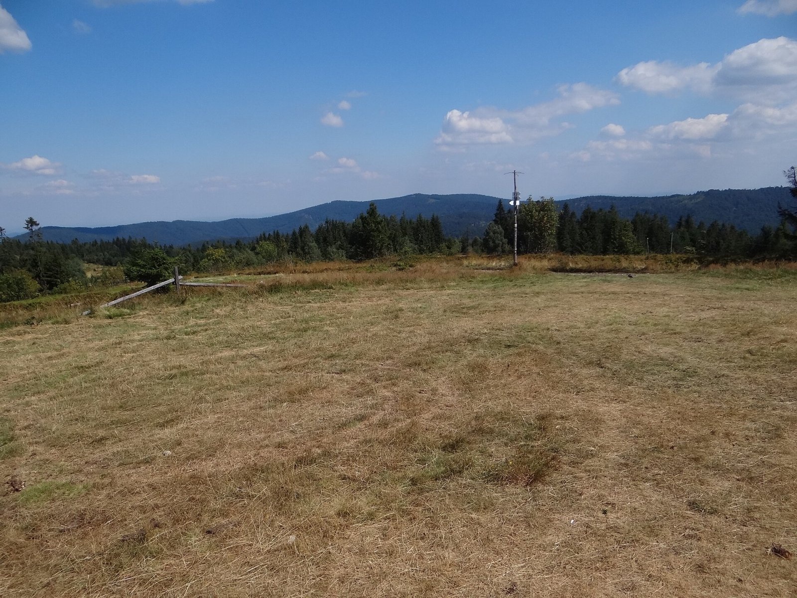
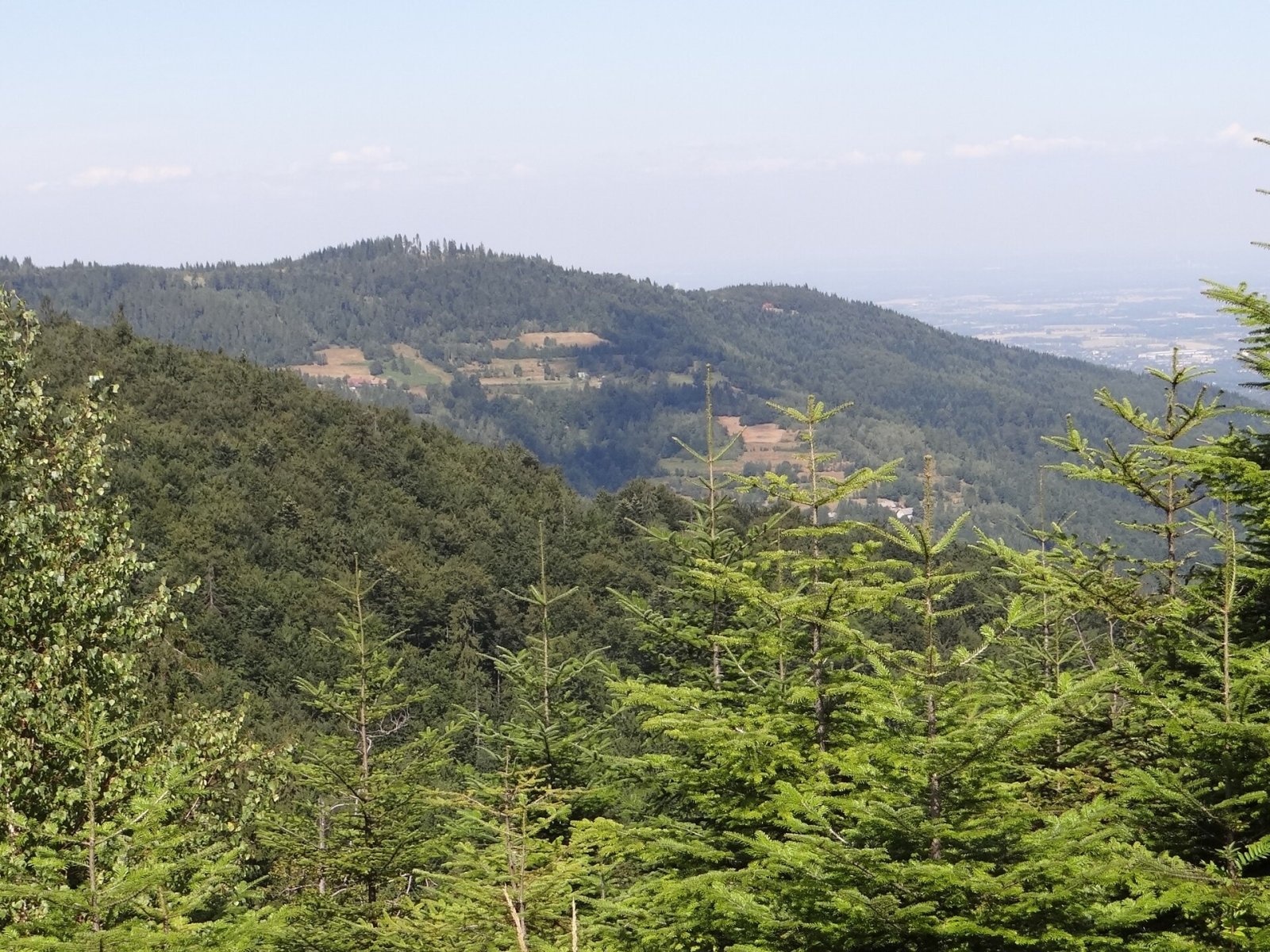
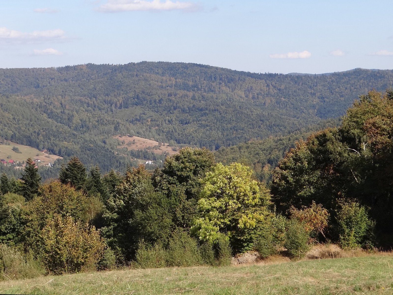

Potrójna is a twin-topped mountain in the Andrychów Beskids, the eastern part of the Little Beskids (Beskid Mały). The lower, southern top (883 m) lies on the main ridge of the Little Beskids above the Kocierka valley; from it a short ridge runs north to the higher, northern top (887 m), which branches into two ridges — the north-western Jawornica ridge and the north-eastern Czarny Groń ridge. Both tops are junctions of three ridges, and the mountain rises above the valleys of three streams: the Kocierka, the Bolęcinka and the headwaters of the Wieprzówka. Three villages meet on the summit — Kocierz Rychwałdzki and Ślemień (Silesian Voivodeship) and Targanice (Lesser Poland). Kocierz, Rzyki and Targanice are about 4.5 km away, Andrychów almost 9 km.
How to get there / trails
Four marked trails cross on the tops of Potrójna:
- the red Little Beskid Trail: Kocierska pass – Potrójna – Zakocierska pass – Łamana Skała – Smrekowica – Leskowiec – Krzeszów;
- the yellow trail: Targanice – Jawornica – Potrójna – Zakocierska pass – Chatka pod Potrójną – Łamana Skała – Anula – Rzyki-Pracica;
- the black trail from the «Czarny Groń» ski centre in Rzyki-Praciaki via Czarny Groń;
- a short green link to the private hikers' hut «Chatka na Potrójnej», just below the summit on the slope towards the Wieprzówka valley.
The view from the top
Both tops and the whole ridge are treeless, covered with broad pastures and meadows, and the views are among the widest in the entire Little Beskids. The panorama takes in the Silesian Foothills, the Bliźniaki range, the Rzyki valley, the main ridge of the Little Beskids, the Gorce, the Polica range, Babia Góra, the Jałowiec range, Pilsko, the Żywiec Basin, the Lipowski Wierch and Romanka group, the Wielka Racza range and the Silesian Beskids from Glinne to Skrzyczne. Two boards describing the panorama stand on the higher top.
Nature and the name
Local people always called the mountain Czarny Groń («Black Hill»). The name Potrójna results from a mistake by Austrian cartographers in the 1880s: part of the hamlet of Hatale, belonging to the Potrójna settlement in Rzyki, lies on the summit glade, and the settlement's name was transferred to the mountain. Austrian maps called it Potrójno (884 m); later Polish maps corrected this to Potrójna, adding «Czarny Groń» underneath. On the Geoportal map the higher northern top is named Praciaki, while the name Czarny Groń is given to its north-eastern ridge.
An old shepherds' chapel with a figure of the Virgin Mary stands on the lower top — a reminder of the days when herders used the summit pastures.
Safety, season and rules
The open ridge is windswept in bad weather, and in fog it is easy to lose the path on the treeless pastures. There is a paragliding launch on the north-eastern slope — pilots use both ridge lift and valley thermals — so keep clear of the launch area. Mountain rescue is GOPR: 985 or +48 601 100 300; emergency number 112.
Photos: Jerzy Opioła, CC BY-SA 4.0; Jerzy Opioła, CC BY-SA 4.0; Jerzy Opioła, CC BY-SA 4.0; Jerzy Opioła, CC BY-SA 4.0; Jerzy Opioła, CC BY-SA 4.0 — Wikimedia Commons.
Getting there from Ukraine
Border crossings
- Krakovets – Korczowa — road, 24/7
- Shehyni – Medyka — road, 24/7 Pedestrian crossing is not confirmed by the Ukrainian border service — check dpsu.gov.ua before the trip.
- Smilnytsia – Krościenko — road, 24/7
- Hrushiv – Budomierz — road, 24/7
- Mostyska – Przemyśl (rail) — rail, 24/7
By car
Lviv – Żywiec ≈412 km, ≈5 h 30 min without queues or tolls: M-10 → Krakovets – Korczowa → A4 to Kraków (≈249 km) → DK52 via Wadowice → DW781 and DW946 to Żywiec. ≈333 km, ≈4 h from the border. Alternative via the tolled A4 Kraków – Katowice and the S1 via Tychy and Bielsko-Biała: ≈457 km, ≈5 h 25 min.
Checked 23.10.2026; border crossing hours and timetables change — check before you travel.
Location on the map
Water and shelter nearby
- Hut under Potrójna1.2 km · Standing · 800 m
- Gibasówka Hut (at Stach's)2.9 km · Standing · 802 m
- Gibasówka Hut (Lutecja)3 km · Standing · 805 m
Comments
Trails nearby
All trails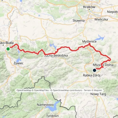 HardMulti-dayMarkedMały Szlak BeskidzkiElevation profile282–1 022 m134.7 kmascent 5 091 munder 1 km from Potrójna
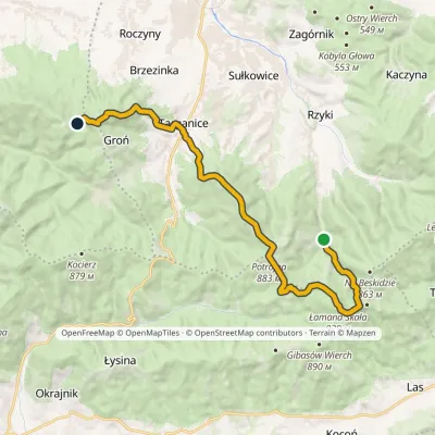 ModerateTwo-dayMarkedFrys Family TrailElevation profile398–910 m17.1 kmascent 849 m≈ 6 h walkingunder 1 km from Potrójna
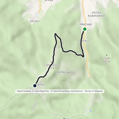 EasyOne-dayMarkedRzyki Czarny Groń PotrójnaElevation profile473–888 m4.2 kmascent 421 m≈ 2 h walkingunder 1 km from Potrójna
Nearby attractions
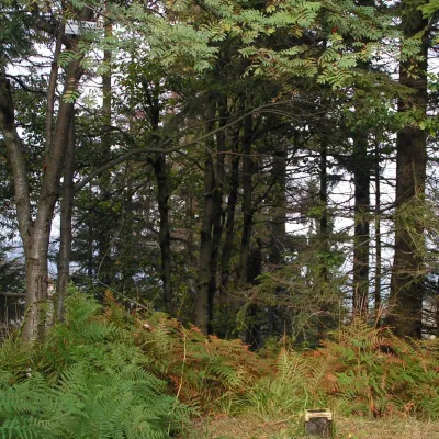 PeakŁamana SkałaLasaltitude 929 m2.7 km from PotrójnaŁamana Skała (on many maps also called Madohora) is a 929 m mountain in the Little Beskids (Beskid Mały) in southern Poland.
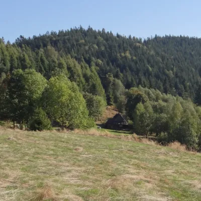 PeakGibasów WierchKocońaltitude 890 m3.2 km from PotrójnaGibasów Wierch (also Wielki Gibasów Groń) is an 890 m summit in the Łamana Skała range of the Little Beskids (more precisely in its part called the Łysina range) in...
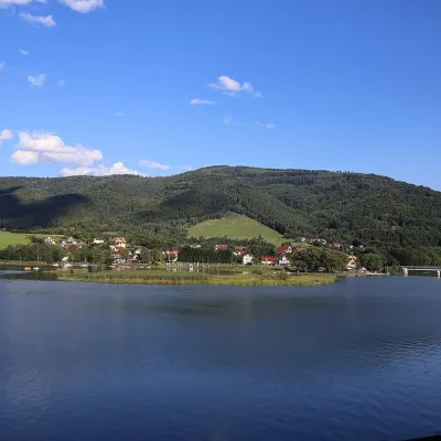 LakeLake Międzybrodzie (Jezioro Międzybrodzkie)Międzybrodzie Bialskie12 km from PotrójnaLake Międzybrodzie (Jezioro Międzybrodzkie), or the Międzybrodzie Reservoir, is an artificial lake on the Soła river in the Beskid Mały (Little Beskids), in the...
Craft nearby
All craft places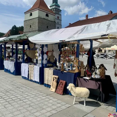 Markets & fairsFolk Art Fair in Żywiec during the Beskidy Week of CultureŻywiec15 km from PotrójnaThe Beskidy Highlanders' Week of Culture (Tydzień Kultury Beskidzkiej, TKB) is Poland's largest folklore festival: it was first held in Wisła in 1964, and today, at...
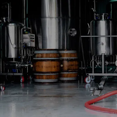 Craft beer & breweriesBrowar Zarzecze in the Żywiec Basin: craft brewery shopZarzecze16 km from PotrójnaBrowar Zarzecze works in the village of Zarzecze near Pietrzykowice in the Żywiec Basin — a region where beer has been brewed since at least the 19th century and home...
 Water parks & thermal poolsAquapark Leśna (Żywiec)Leśna20 km from PotrójnaAquapark Leśna (also called Aquapark Żywiec) is a swimming-pool complex in the village of Leśna, a few kilometres from Żywiec, in the Żywiec Basin, surrounded by the...
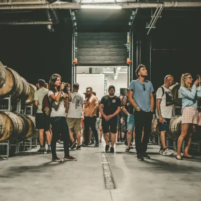 Craft beer & breweriesPINTA Brewery, Wieprz near Żywiec: tours and taproomWieprz20 km from PotrójnaPINTA is the brewery that Poles associate with the start of the “beer revolution”; it calls itself the country's first craft brewery.
 Cheese dairies & pasturesBacówka na Bukowinie, Żabnica: sheep's cheese and alpacasWęgierska Górka26 km from PotrójnaBacówka na Bukowinie stands on a slope above the village of Żabnica, next to Węgierska Górka, where the Żywiec Beskids meet the Silesian Beskids.
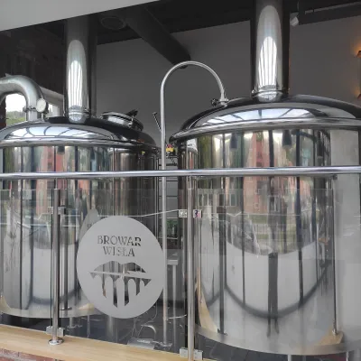 Craft beer & breweriesBrowar Wisła: craft brewpub in Wisła's old railway stationWisła39 km from PotrójnaBrowar Wisła is a brewpub in the heart of the Silesian Beskids, in the spa town of Wisła, where Poland's longest river of the same name rises.
