Lake Międzybrodzie (Jezioro Międzybrodzkie)
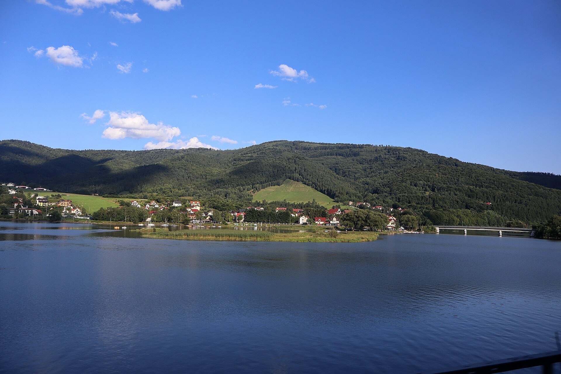
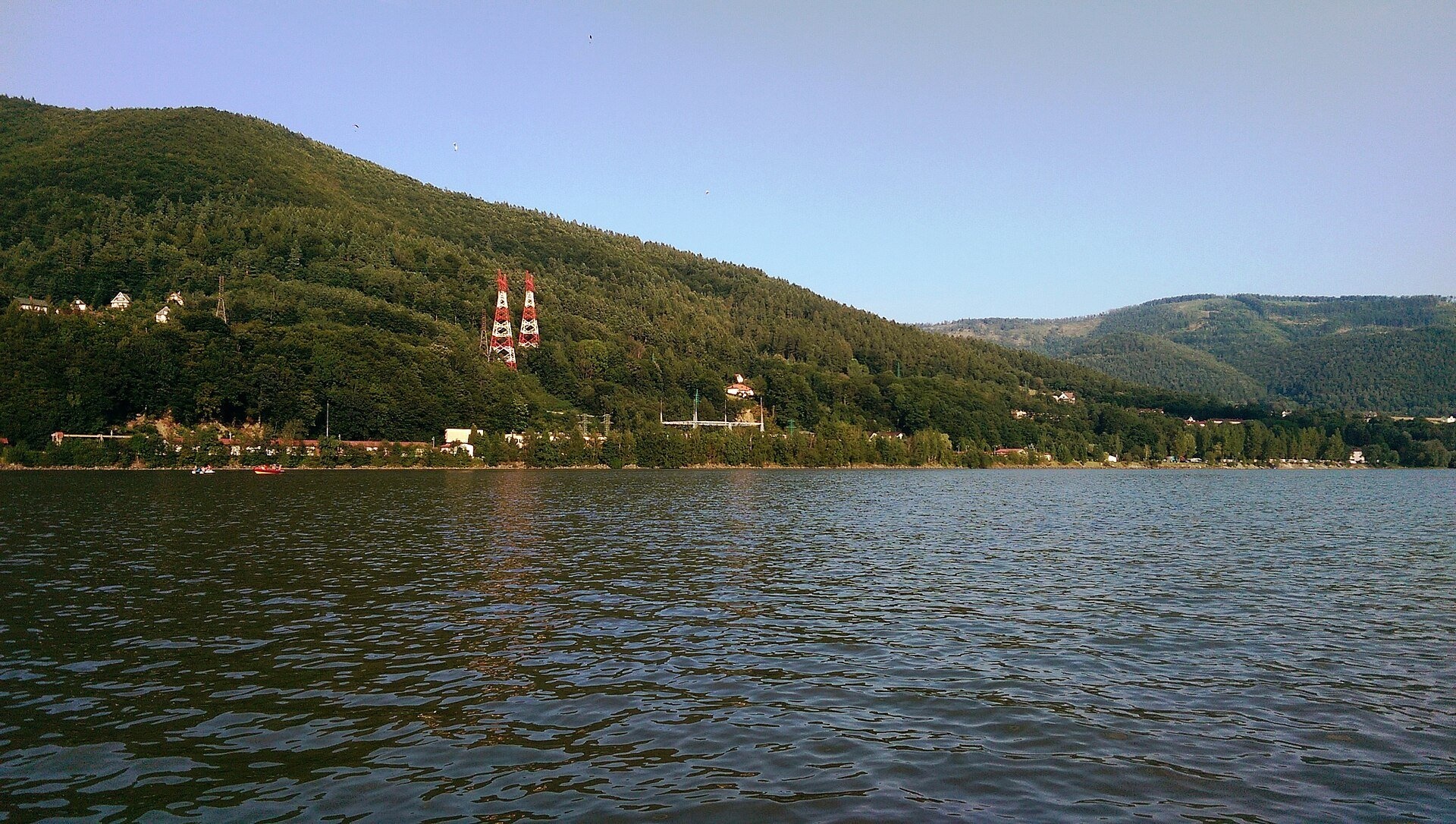
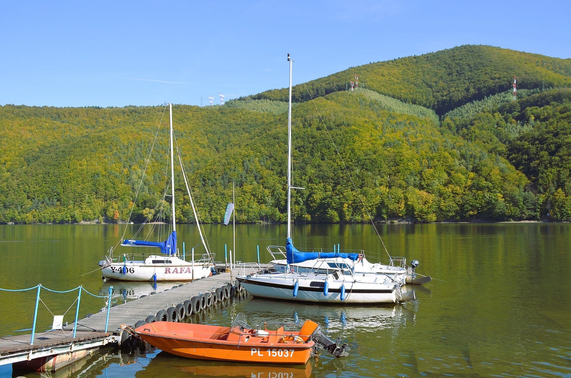
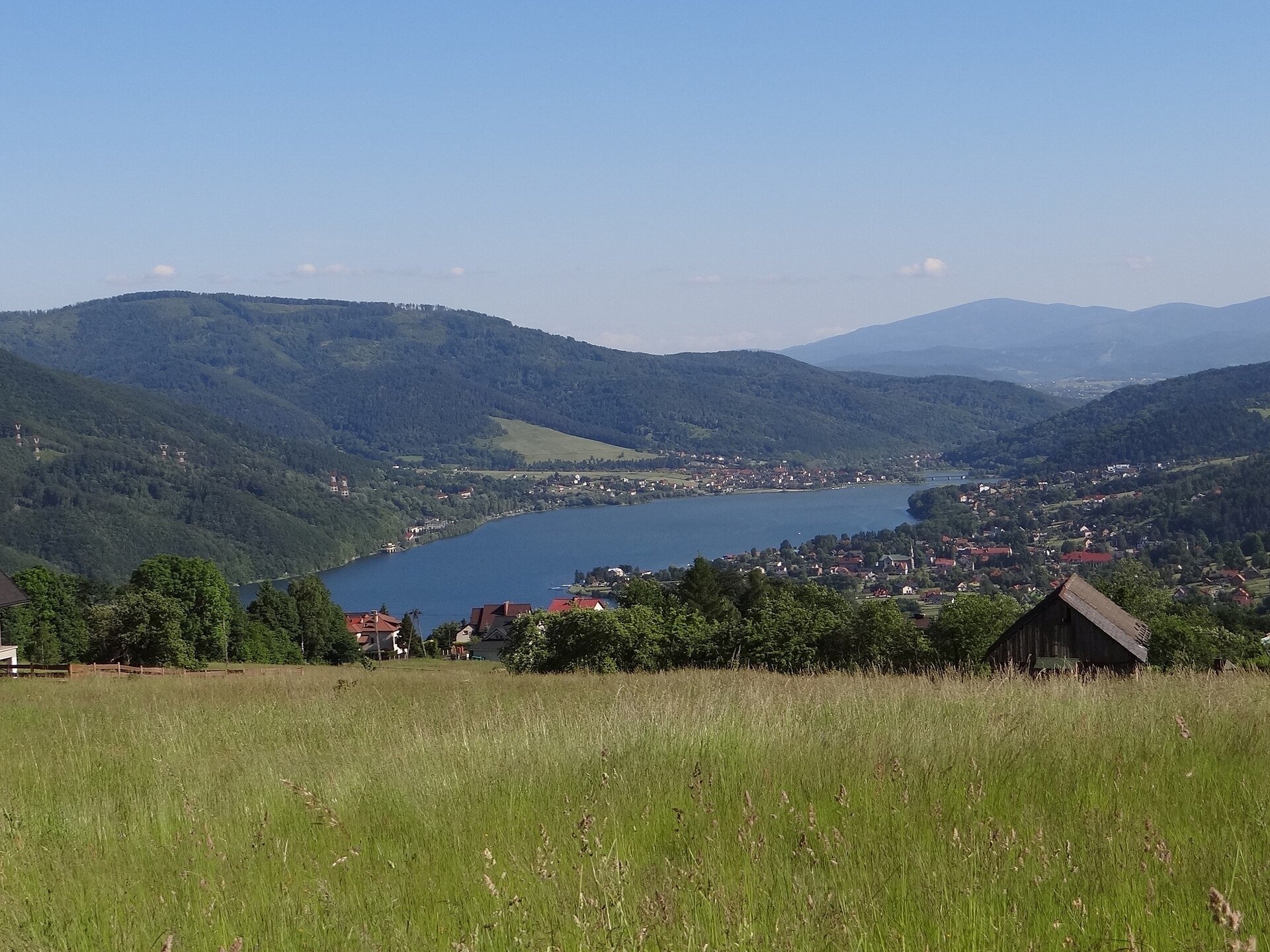
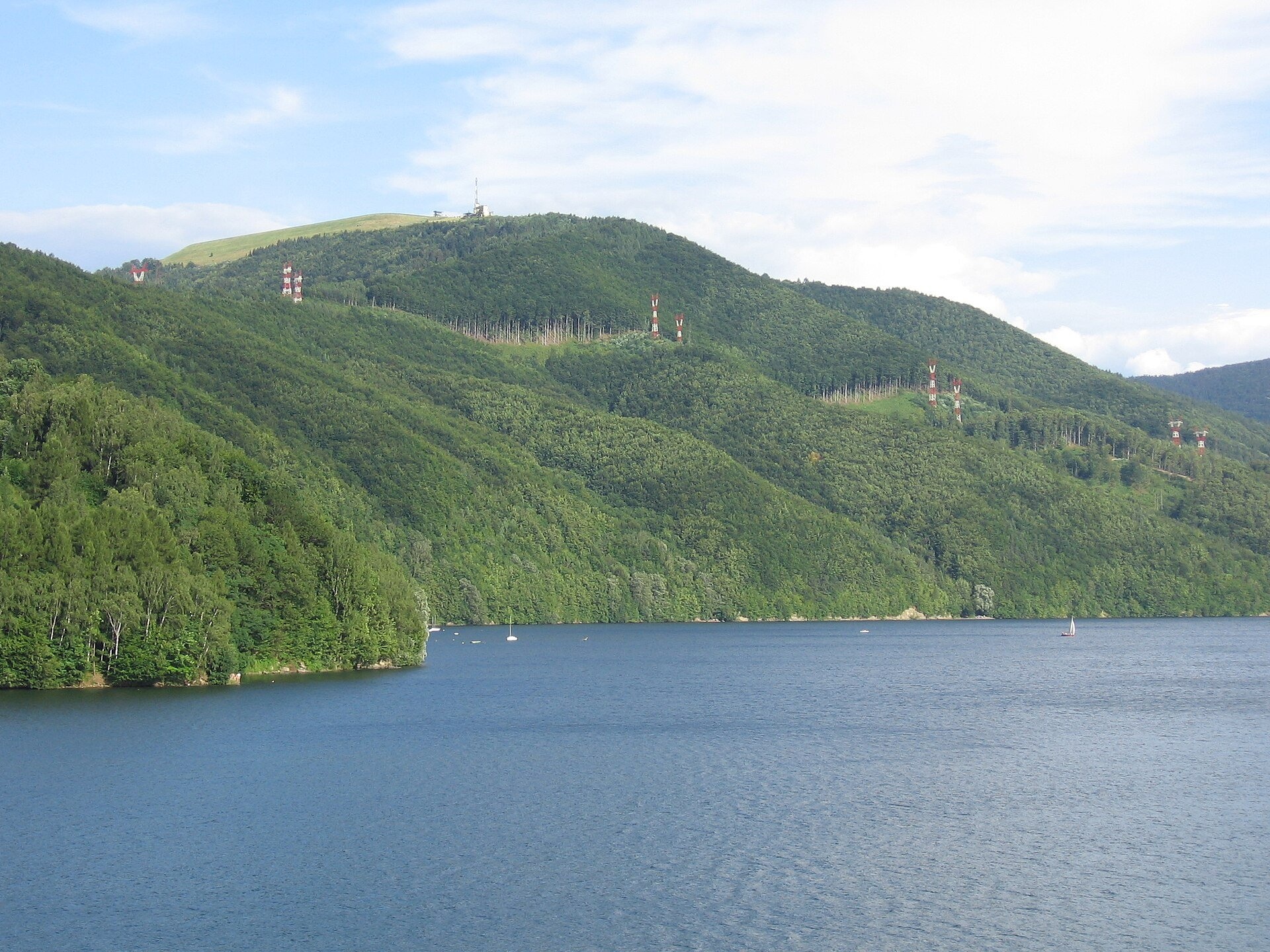
Lake Międzybrodzie (Jezioro Międzybrodzkie), or the Międzybrodzie Reservoir, is an artificial lake on the Soła river in the Beskid Mały (Little Beskids), in the Silesian Voivodeship of Poland. It fills the narrow gorge where the Soła cuts through the mountains and divides the Beskid Mały in two: the slopes of Mount Żar rise above the water to the east, and the Magurka Wilkowicka massif to the west. It is the middle of the three reservoirs of the so-called Soła cascade: upstream lies Lake Żywiec (Jezioro Żywieckie), downstream Lake Czaniec.
The water surface is about 3.8 km², the volume 26.6 million m³ and the length from north to south about 5 km (up to 6.5 km at the highest level, according to hydrologists). The normal water level is 320 m above sea level, the maximum depth 19 m and the average depth over 8 m. The lake is held back by the Porąbka concrete gravity dam, 37–38 m high and 260 m long. Despite its name it stands in the village of Międzybrodzie Bialskie, 200 m from the boundary with Porąbka: the name stuck from the address of the construction office.
The idea of a dam came after the great flood of 1903 — the first plans for the Soła gorge were drawn up as early as 1906. The final design was prepared under the guidance of Professor Gabriel Narutowicz (later the first President of Poland) and engineer Tadeusz Baecker; preparations began in 1921 and the main construction took place in the 1930s. The dam and reservoir were formally opened on 13 December 1936, and filling was completed in November 1938. The lake's main task is flood protection; it is also a water reserve. In 1951–1954 a hydroelectric power station was built at the dam, and in 1979 the Porąbka-Żar pumped-storage power station: an upper reservoir holding 2.31 million m³ was built on the summit of Żar, the highest-lying reservoir of its type in Poland. The lake was drained twice, in 1956 and 1965, to remove silt from the bottom and repair underwater structures.
What to see and do
- Mount Żar (761 m) — since 2004 a 1,300 m funicular has climbed to the top in 5.5 minutes; from the viewpoint you see the Żywiec Basin with Lake Żywiec and the Silesian and Żywiec Beskids. A gliding school operates at the foot of the mountain and paragliders take off here.
- The Porąbka dam — the Mały Szlak Beskidzki trail crosses above it.
- Water and fishing — Międzybrodzie has marinas renting kayaks, canoes, SUP boards, pedalos and boats; the lake holds pike, zander, carp, perch, trout, wels catfish and other fish.
- Mountain trails — trails lead from the shores to Czupel (933 m), the highest summit of the Beskid Mały, to Magurka Wilkowicka, Chrobacza Łąka, Żar and the Kocierz range.
How to get there
The road from Kęty to Żywiec runs along the western shore, so the lake is easy to reach by car from Bielsko-Biała or Żywiec; the villages of Międzybrodzie Bialskie and Międzybrodzie Żywieckie in the commune of Czernichów lie on its banks. Walks along the shore and to the dam are easy and suitable for children. There is a paid car park at the lower station of the Żar funicular; the road to the summit is open only to authorised vehicles. On foot, Żar is reached by the trails Międzybrodzie Żywieckie III – Żar (black trail) and Międzybrodzie Żywieckie III – Żar (green trail); from the car park along the asphalt road via the Isepnicka pass it takes about 2 h. From the dam the Mały Szlak Beskidzki climbs to Żar and on to the Kocierska pass. Czupel is a little under 2 h from Międzybrodzie Bialskie on the red and then the blue trail (fairly steep), and from there half an hour to the hut on Magurka Wilkowicka; the trail Straconka – Międzybrodzie Bialskie also comes down to Międzybrodzie Bialskie.
Season and safety
The lake is open all year with no tickets; the water season and boat hire run in summer. We found no official swimming rules, so swim only at designated places and keep out of the water near the dam. The water level is regulated, so the banks may be exposed. In winter two lifts with ski runs operate on Żar. Mountain rescue is provided by GOPR: 985 or 601 100 300; the general emergency number is 112.
Nearby
- Lake Żywiec (Jezioro Żywieckie) — the largest reservoir of the Soła cascade, upstream.
- Mount Żar with the upper reservoir of the power station and its panorama.
- Czupel (933 m) and Magurka Wilkowicka — the highest summits of the Beskid Mały above the western shore.
Photos: Maciurella, CC BY-SA 4.0, Wikimedia Commons; Jacek Juszkiewicz, CC BY-SA 4.0, Wikimedia Commons; Marsilar, CC BY-SA 4.0, Wikimedia Commons; Jerzy Opioła, CC BY-SA 4.0, Wikimedia Commons; Michał Płachta (micio), CC BY-SA 2.5, Wikimedia Commons; Janericloebe, Public domain, Wikimedia Commons; No machine-readable author provided. WitekTHC assumed (based on copyright..., Public domain, Wikimedia Commons.
Getting there from Ukraine
Border crossings
- Krakovets – Korczowa — road, 24/7
- Shehyni – Medyka — road, 24/7 Pedestrian crossing is not confirmed by the Ukrainian border service — check dpsu.gov.ua before the trip.
- Smilnytsia – Krościenko — road, 24/7
- Hrushiv – Budomierz — road, 24/7
- Mostyska – Przemyśl (rail) — rail, 24/7
By car
Lviv – Żywiec ≈412 km, ≈5 h 30 min without queues or tolls: M-10 → Krakovets – Korczowa → A4 to Kraków (≈249 km) → DK52 via Wadowice → DW781 and DW946 to Żywiec. ≈333 km, ≈4 h from the border. Alternative via the tolled A4 Kraków – Katowice and the S1 via Tychy and Bielsko-Biała: ≈457 km, ≈5 h 25 min.
Checked 23.10.2026; border crossing hours and timetables change — check before you travel.
Location on the map
Comments
Trails nearby
All trails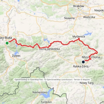 HardMulti-dayMarkedMały Szlak BeskidzkiElevation profile282–1 022 m134.7 kmascent 5 091 munder 1 km from Lake Międzybrodzie (Jezioro Międzybrodzkie)
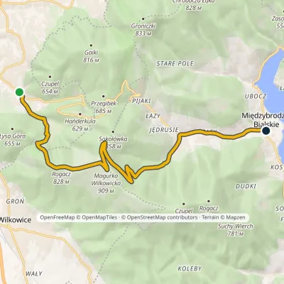 ModerateOne-dayMarkedStraconka Międzybrodzie BialskieElevation profile335–909 m12.5 kmascent 490 m≈ 4 h walkingunder 1 km from Lake Międzybrodzie (Jezioro Międzybrodzkie)
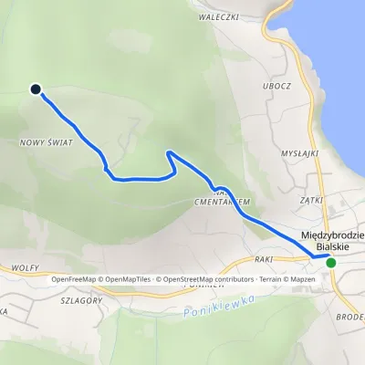 EasyOne-dayMarkedMiędzybrodzie Bialskie Nowy ŚwiatElevation profile335–628 m2.4 kmascent 294 m≈ 1 h walkingunder 1 km from Lake Międzybrodzie (Jezioro Międzybrodzkie)
Nearby attractions
 PeakCzupelMiędzybrodzie Bialskiealtitude 930 m4.1 km from Lake Międzybrodzie (Jezioro Międzybrodzkie)Czupel is the highest summit of the Little Beskids at 930 m; the latest geodetic and LiDAR measurements give 931 m, and some publications quote 933 m.
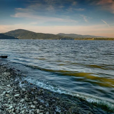 LakeLake Żywiec (Jezioro Żywieckie)Żywiec8.2 km from Lake Międzybrodzie (Jezioro Międzybrodzkie)Lake Żywiec (Jezioro Żywieckie), also known as the Tresna Reservoir, is a large artificial lake on the Soła river beside the town of Żywiec, on the boundary of the...
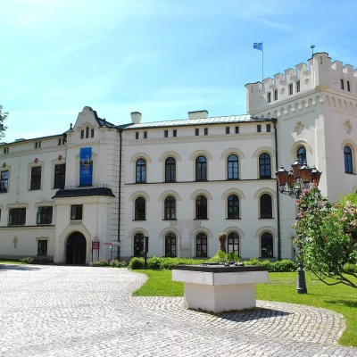 CastleŻywiec castles: Old Castle, Habsburg Palace and parkŻywiec12 km from Lake Międzybrodzie (Jezioro Międzybrodzkie)In the very centre of Żywiec, two residences of the former lords of the Żywiec estate stand side by side — the Old Castle and the Habsburg Palace, or New Castle —...
Craft nearby
All craft places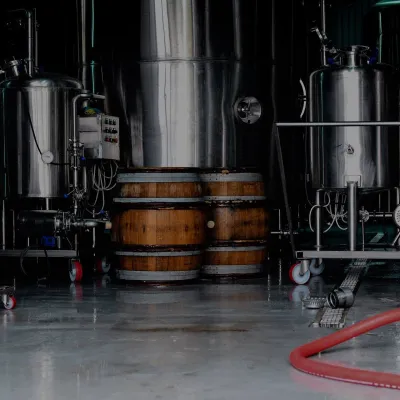 Craft beer & breweriesBrowar Zarzecze in the Żywiec Basin: craft brewery shopZarzecze8.9 km from Lake Międzybrodzie (Jezioro Międzybrodzkie)Browar Zarzecze works in the village of Zarzecze near Pietrzykowice in the Żywiec Basin — a region where beer has been brewed since at least the 19th century and home...
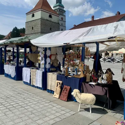 Markets & fairsFolk Art Fair in Żywiec during the Beskidy Week of CultureŻywiec12 km from Lake Międzybrodzie (Jezioro Międzybrodzkie)The Beskidy Highlanders' Week of Culture (Tydzień Kultury Beskidzkiej, TKB) is Poland's largest folklore festival: it was first held in Wisła in 1964, and today, at...
 Water parks & thermal poolsAquapark Leśna (Żywiec)Leśna14 km from Lake Międzybrodzie (Jezioro Międzybrodzkie)Aquapark Leśna (also called Aquapark Żywiec) is a swimming-pool complex in the village of Leśna, a few kilometres from Żywiec, in the Żywiec Basin, surrounded by the...
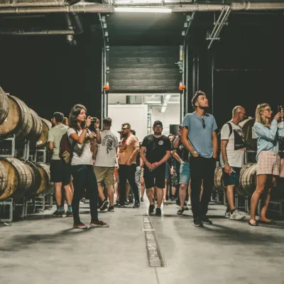 Craft beer & breweriesPINTA Brewery, Wieprz near Żywiec: tours and taproomWieprz16 km from Lake Międzybrodzie (Jezioro Międzybrodzkie)PINTA is the brewery that Poles associate with the start of the “beer revolution”; it calls itself the country's first craft brewery.
 Cheese dairies & pasturesBacówka na Bukowinie, Żabnica: sheep's cheese and alpacasWęgierska Górka22 km from Lake Międzybrodzie (Jezioro Międzybrodzkie)Bacówka na Bukowinie stands on a slope above the village of Żabnica, next to Węgierska Górka, where the Żywiec Beskids meet the Silesian Beskids.
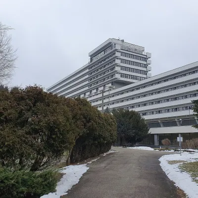 Water parks & thermal poolsUstroń spa: brine, peat and brine poolsUstroń28 km from Lake Międzybrodzie (Jezioro Międzybrodzkie)Ustroń is the only spa of the Silesian Beskids: the town lies where the Vistula valley leaves the mountains, between the ridges of Równica (884 m) and Czantoria Wielka...
