Czupel
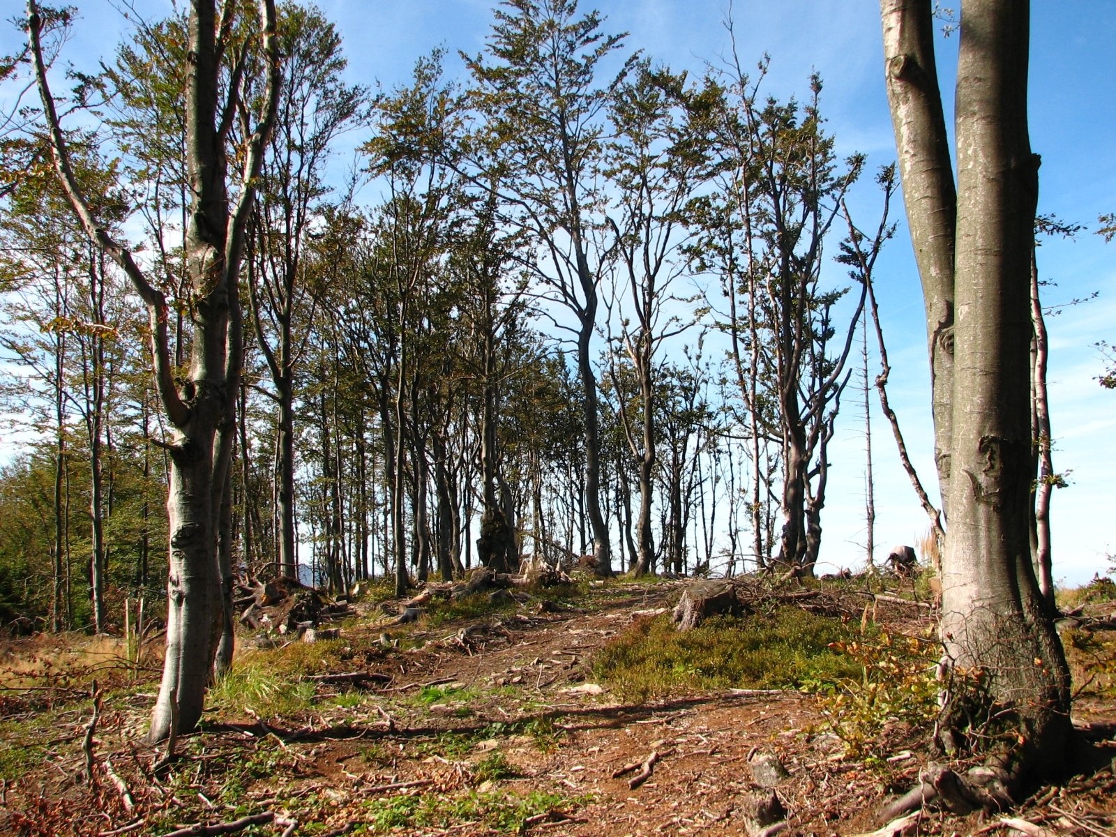
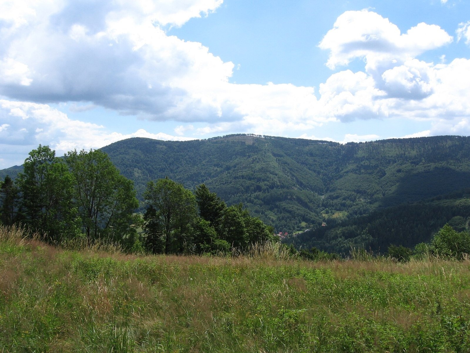
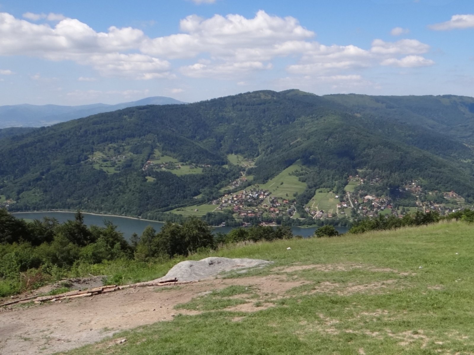
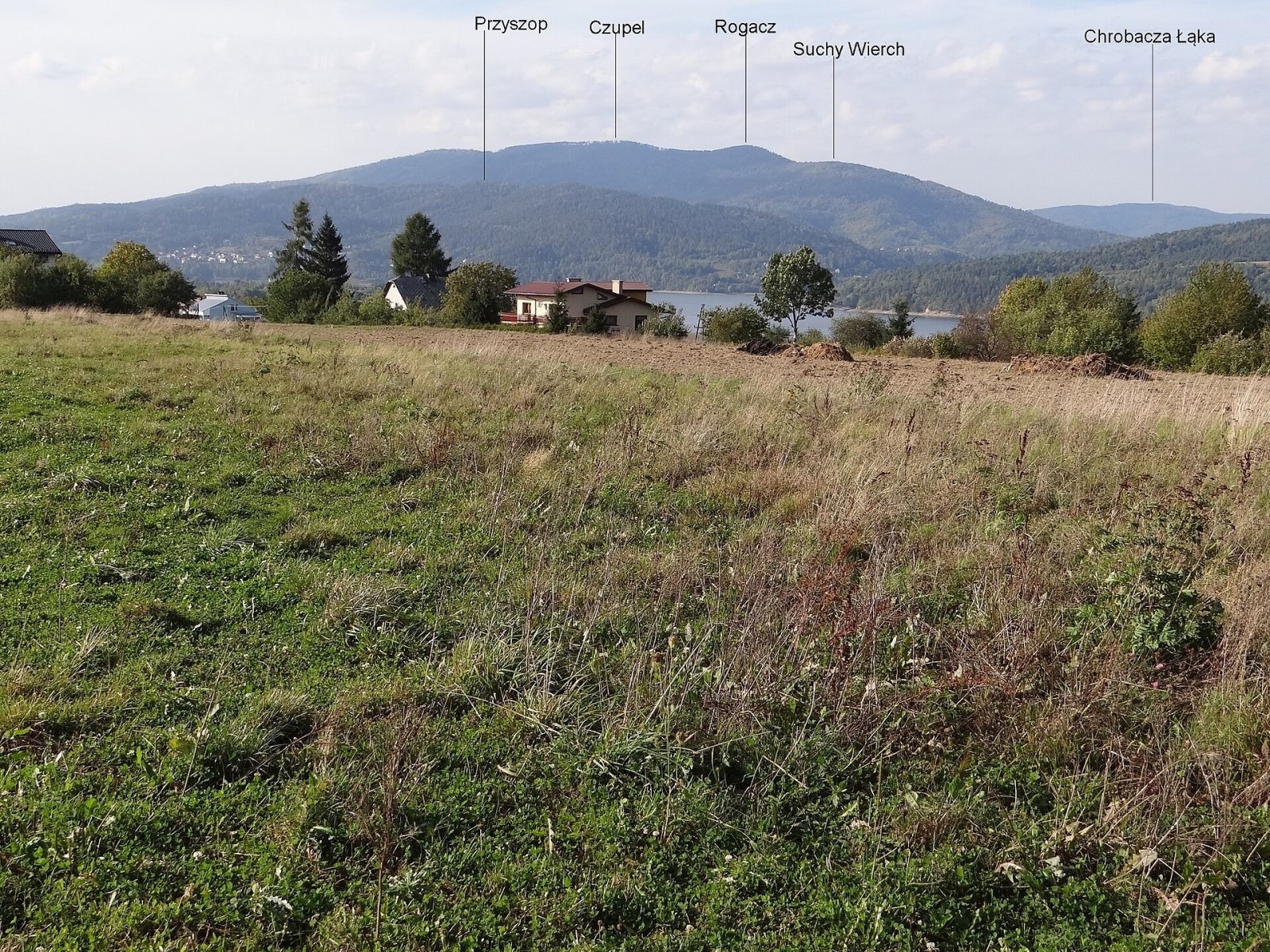
Czupel is the highest summit of the Little Beskids at 930 m; the latest geodetic and LiDAR measurements give 931 m, and some publications quote 933 m. The mountain belongs to the Crown of Polish Mountains. It lies in the western part of the Little Beskids, west of the Soła valley, in the so-called Magurka Wilkowicka group. The ridge of Czupel carries the boundary between the villages of Międzybrodzie Bialskie and Łodygowice in Żywiec County, Silesian Voivodeship; the nearest hamlets are 1.3–2 km away, with Bielsko-Biała to the north-west.
Czupel is a junction of several ridges. The Wysokie Siodło saddle, where the blue trail crosses the red one, separates it from neighbouring Rogacz (900 m). The mountain's prominence is about 520 m.
The main ridge of the Magurka Wilkowicka group is shaped like the letter C, with its ends facing the Soła. In the middle lies the Przegibek Pass, from which the Ponikiewka and Straconka streams flow in opposite directions; the pass divides the group into the Chrobacza Łąka group to the north and the Magurka and Czupel group to the south. To the north the hills drop steeply to the Silesian Foothills, to the south to the Żywiec Basin, while to the west the Biała valley and the Wilkowice Gate separate them from the Silesian Beskids.
How to get there / trails
- Blue trail from the Przegibek Pass via Magurka Wilkowicka — about 1 h 45 min (1 h 20 min down).
- Blue trail from Czernichów via Suchy Wierch, Rogacz and Wysokie Siodło — about 1 h 55 min (about 1 h down).
- Red trail Łodygowice — Przysłop — Wysokie Siodło — Międzybrodzie Bialskie (about 2 h 35 min) crosses the ridge at Wysokie Siodło, from where it is a short walk to the summit on the blue trail.
The "Widok na Tatry" hut
Before 1914 Karol Sikora of Łodygowice built a wooden hut with a veranda between Magurka Wilkowicka and Czupel, at about 900 m, with a view of the Tatras and the Babia Góra range. To attract both Poles and Germans, the owner put the sign "Schronisko – Schutzhaus – Widok na Tatry" on the building; the German part was removed after 1918. In 1926 a tourist station of the Babia Góra branch of the Polish Tatra Society opened here, and between the wars Polish hikers liked to call in, bypassing the German Beskidenverein hut on Magurka. The hut survived the war but burned down in 1967 and was never rebuilt; the remains of its foundations can be seen by the blue trail from Magurka to Czupel.
The view from the top
The whole Czupel massif is forested, but in recent years windthrow and logging have cleared the summit, which now offers fairly wide views: the ridge towards Magurka Wilkowicka, the Silesian Foothills with Lake Goczałkowice, Gaiki, Groniczki, Chrobacza Łąka, the Międzybrodzie and Czaniec reservoirs, Bukowski Groń, Złota Górka, Żar, Kiczera and, in the distance, the Bliźniaki range. From the clearings on the eastern ridge you can see Babia Góra, Pilsko and, in good weather, even the Tatras and the Slovak Malá Fatra.
Nature and history
The lower montane forest is dominated by beech mixed with spruce. The fairly rare purple foxglove grows here, as does a rare beetle, Carabus intricatus. Along the trail on the ridge run long banks of stones once cleared from the mountain pastures; local people call them "krody". Remains of Second World War trenches also survive.
Safety, season and rules
Czupel is a wooded mountain without crags, accessible all year. After windthrow there may be fallen trees across the paths, and in winter the slopes are snowy and slippery. The mountain lies outside national parks.
Mountain rescue in the Beskids is provided by GOPR: 985 or +48 601 100 300, and 112.
Photos: Gower, Public domain; Michał Płachta (micio), CC BY-SA 2.5; Jerzy Opioła, CC BY-SA 4.0; Jerzy Opioła, CC BY-SA 4.0 — Wikimedia Commons.
Getting there from Ukraine
Border crossings
- Krakovets – Korczowa — road, 24/7
- Shehyni – Medyka — road, 24/7 Pedestrian crossing is not confirmed by the Ukrainian border service — check dpsu.gov.ua before the trip.
- Smilnytsia – Krościenko — road, 24/7
- Hrushiv – Budomierz — road, 24/7
- Mostyska – Przemyśl (rail) — rail, 24/7
By car
Lviv – Żywiec ≈412 km, ≈5 h 30 min without queues or tolls: M-10 → Krakovets – Korczowa → A4 to Kraków (≈249 km) → DK52 via Wadowice → DW781 and DW946 to Żywiec. ≈333 km, ≈4 h from the border. Alternative via the tolled A4 Kraków – Katowice and the S1 via Tychy and Bielsko-Biała: ≈457 km, ≈5 h 25 min.
Checked 23.10.2026; border crossing hours and timetables change — check before you travel.
Location on the map
Water and shelter nearby
- Spring below Czupel (west slope)610 m · Not verified · 854 m
- Spring below Przysłop810 m · Not verified · 720 m
- Spring below Rogacz820 m · Not verified · 860 m
- Spring below Magurka Wilkowicka1.9 km · Not verified · 867 m
- Hut below Suchy Wierch2.3 km · Not verified · 587 m
- PTTK Hut on Magurka2.4 km · Standing · 906 m
Comments
Trails nearby
All trails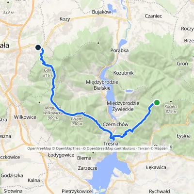 HardTwo-dayMarkedLipnik Cisowa PassElevation profile324–930 m21.9 kmascent 882 m≈ 7 h walkingunder 1 km from Czupel
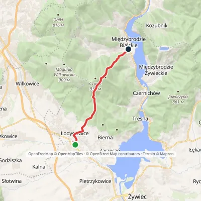 ModerateOne-dayMarkedŁodygowice Międzybrodzie BialskieElevation profile334–884 m9.6 kmascent 508 m≈ 3.5 h walkingunder 1 km from Czupel
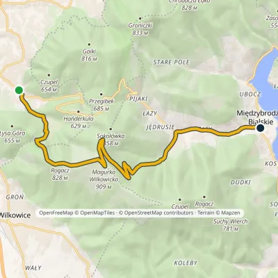 ModerateOne-dayMarkedStraconka Międzybrodzie BialskieElevation profile335–909 m12.5 kmascent 490 m≈ 4 h walking1.3 km from Czupel
Nearby attractions
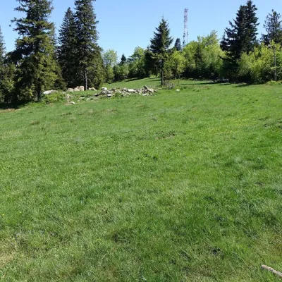 PeakMagurka WilkowickaWilkowicealtitude 909 m2.5 km from CzupelMagurka Wilkowicka is a 909 m summit, the fourth-highest in the Little Beskids, in the Magurka Wilkowicka group in the south of the Silesian Voivodeship.
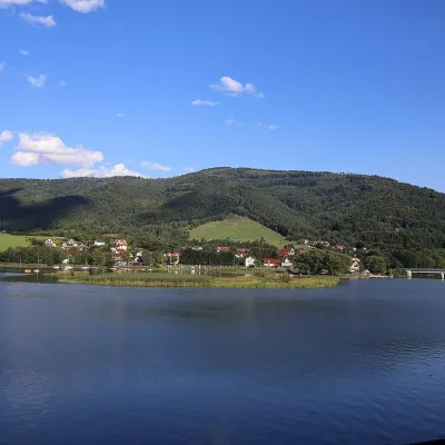 LakeLake Międzybrodzie (Jezioro Międzybrodzkie)Międzybrodzie Bialskie4.1 km from CzupelLake Międzybrodzie (Jezioro Międzybrodzkie), or the Międzybrodzie Reservoir, is an artificial lake on the Soła river in the Beskid Mały (Little Beskids), in the...
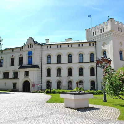 CastleŻywiec castles: Old Castle, Habsburg Palace and parkŻywiec9.3 km from CzupelIn the very centre of Żywiec, two residences of the former lords of the Żywiec estate stand side by side — the Old Castle and the Habsburg Palace, or New Castle —...
Craft nearby
All craft places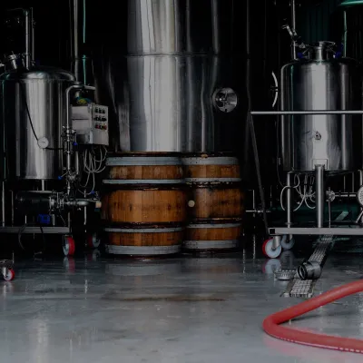 Craft beer & breweriesBrowar Zarzecze in the Żywiec Basin: craft brewery shopZarzecze5.7 km from CzupelBrowar Zarzecze works in the village of Zarzecze near Pietrzykowice in the Żywiec Basin — a region where beer has been brewed since at least the 19th century and home...
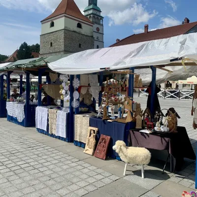 Markets & fairsFolk Art Fair in Żywiec during the Beskidy Week of CultureŻywiec9.3 km from CzupelThe Beskidy Highlanders' Week of Culture (Tydzień Kultury Beskidzkiej, TKB) is Poland's largest folklore festival: it was first held in Wisła in 1964, and today, at...
 Water parks & thermal poolsAquapark Leśna (Żywiec)Leśna11 km from CzupelAquapark Leśna (also called Aquapark Żywiec) is a swimming-pool complex in the village of Leśna, a few kilometres from Żywiec, in the Żywiec Basin, surrounded by the...
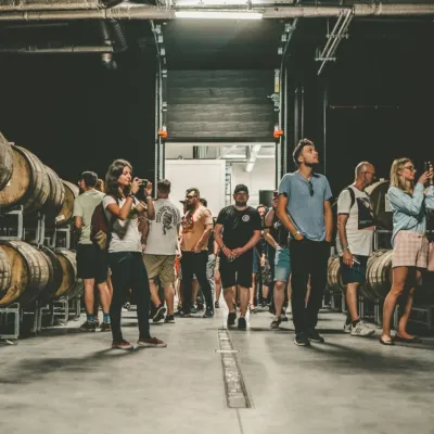 Craft beer & breweriesPINTA Brewery, Wieprz near Żywiec: tours and taproomWieprz13 km from CzupelPINTA is the brewery that Poles associate with the start of the “beer revolution”; it calls itself the country's first craft brewery.
 Cheese dairies & pasturesBacówka na Bukowinie, Żabnica: sheep's cheese and alpacasWęgierska Górka19 km from CzupelBacówka na Bukowinie stands on a slope above the village of Żabnica, next to Węgierska Górka, where the Żywiec Beskids meet the Silesian Beskids.
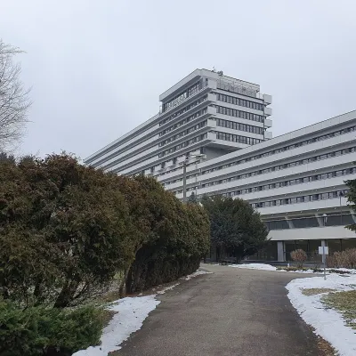 Water parks & thermal poolsUstroń spa: brine, peat and brine poolsUstroń25 km from CzupelUstroń is the only spa of the Silesian Beskids: the town lies where the Vistula valley leaves the mountains, between the ridges of Równica (884 m) and Czantoria Wielka...
