Wadowice – Żar
Trail map
Route, springs and shelters: © OpenStreetMap contributors (ODbL) · elevation: Copernicus DEM © DLR e.V., © Airbus DS · Data & licences
About the trail
Route Wadowice – Żar. Has black marking (regional route). Waymarking data: OpenStreetMap (© OpenStreetMap contributors, ODbL).
Officially marked regional tourist route. The marking is black, the sign is a horizontal stripe on a white background. Length of the route is 24.2 km. Location: mountain range – Mały Beskid, Poland.
At a glance
A one-day route of 24.2 km with 815 m of ascent from Wadowice to Żar. Estimated walking time: about 7.5 h, not counting stops. Difficulty: hard. Waymarking: black.
Route stages
- 0–11 kmGentle ups and downs at 250–380 m
- 11–12 kmClimb of 200 m (up to 545 m)
- 12–14 kmGentle ups and downs at 480–550 m
- 14–16 kmDescent of 140 m (down to 343 m)
- 16–22 kmGentle ups and downs at 330–420 m
- 22–24 kmClimb of 180 m (up to 517 m)
Steepest kilometre: km 11–12, a climb of 210 m (≈21%).
Water and overnight stays
Our map shows no springs near the trail — bring your own water (at least 3 l).
When to go
The route can be walked most of the year; it is most comfortable from April to October.
Getting there
Start: Wadowice. This is a one-way route: the finish is 11 km from the start in a straight line, so plan your way back in advance.
FAQ
- How long does the route take?
- Estimated walking time: about 7.5 h, not counting stops.
- Is there water on the route?
- Our map shows no springs near the trail — bring your own water (at least 3 l).
Comments
Trails nearby
All trails ModerateTwo-dayMarkedTrail of Emil ZegadłowiczElevation profile263–565 m20.9 kmascent 855 m≈ 7 h walking
 HardTwo-dayMarkedCzesław Panczakiewicz TrailElevation profile259–890 m23.9 kmascent 921 m≈ 8 h walking
 ModerateOne-dayMarkedCzartak KrzeszówElevation profile274–922 m14.6 kmascent 716 m≈ 5 h walking
Craft nearby
All craft places Craft beer & breweriesBrowar Zarzecze in the Żywiec Basin: craft brewery shopZarzecze30 km from the trailBrowar Zarzecze works in the village of Zarzecze near Pietrzykowice in the Żywiec Basin — a region where beer has been brewed since at least the 19th century and home...
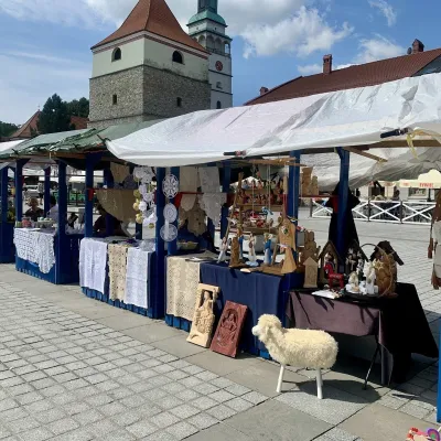 Markets & fairsFolk Art Fair in Żywiec during the Beskidy Week of CultureŻywiec31 km from the trailThe Beskidy Highlanders' Week of Culture (Tydzień Kultury Beskidzkiej, TKB) is Poland's largest folklore festival: it was first held in Wisła in 1964, and today, at...
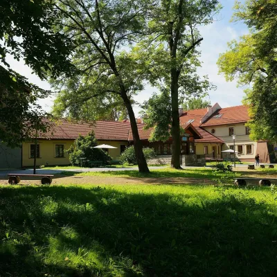 Water parks & thermal poolsSwoszowice spa: sulphide baths in KrakówKraków33 km from the trailSwoszowice is a spa within Kraków, on the city's southern edge by the Wilga river. Its operator stresses that it is the only spa in Poland, and one of few in Europe,...
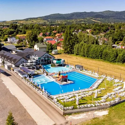 Water parks & thermal poolsAquapark Leśna (Żywiec)Leśna35 km from the trailAquapark Leśna (also called Aquapark Żywiec) is a swimming-pool complex in the village of Leśna, a few kilometres from Żywiec, in the Żywiec Basin, surrounded by the...
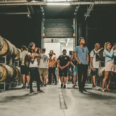 Craft beer & breweriesPINTA Brewery, Wieprz near Żywiec: tours and taproomWieprz35 km from the trailPINTA is the brewery that Poles associate with the start of the “beer revolution”; it calls itself the country's first craft brewery.
 Water parks & thermal poolsWieliczka Salt Mine Health Resort: treatment undergroundWieliczka41 km from the trailThe Wieliczka Salt Mine Health Resort (Uzdrowisko Kopalnia Soli „Wieliczka”) is an unusual treatment centre: its wards and halls lie 135 m underground, on the third...
