Jelšava
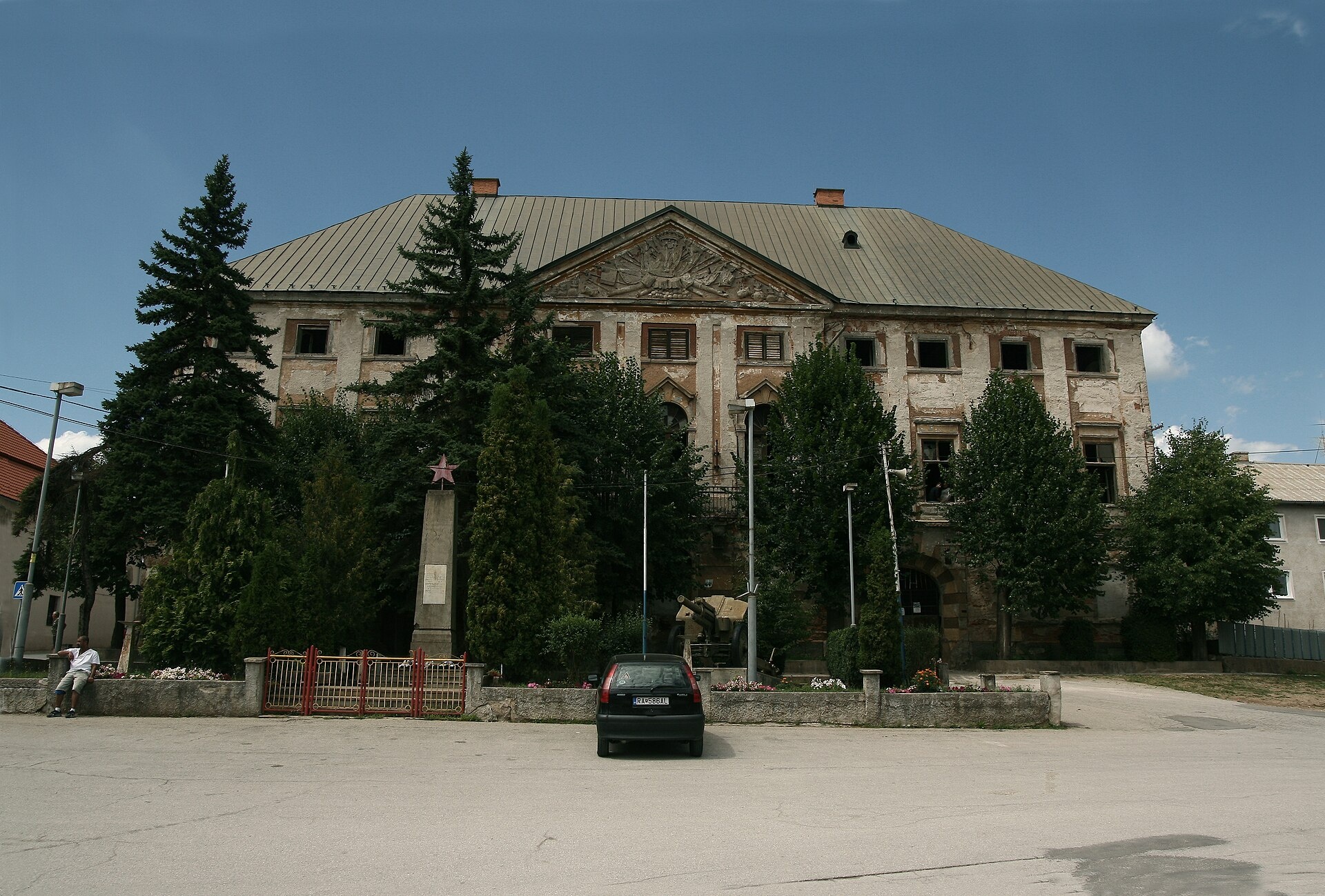

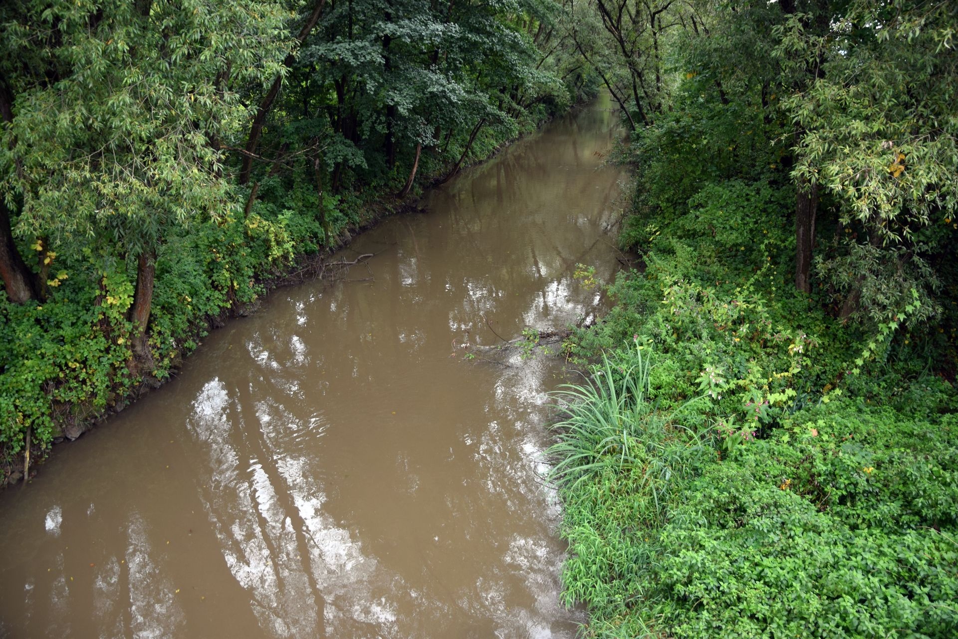
Photos: PosoniumAster, CC BY-SA 4.0 (Wikimedia Commons); Jerzy Opioła, CC BY-SA 4.0 (Wikimedia Commons); Bertramz, CC BY-SA 3.0 (Wikimedia Commons)
Jelšava is a town in Slovakia.
Elevation: about 258 m above sea level. Population: 3,178 (2025). Mountains nearby: Slovak Ore Mountains.
Here and nearby on the site: 2 trails.
Facts: Wikidata, OpenStreetMap. More on Wikipedia
Trails nearby
All trails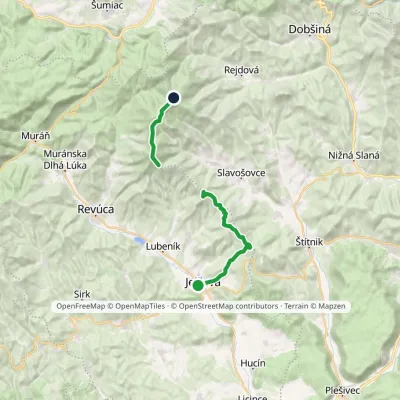 HardTwo-dayMarkedPavol Jozef Šafárik Trail: Jelšava StolicaElevation profile256–1 479 m21.5 kmascent 1 767 m≈ 9 h walkingunder 1 km from the centre
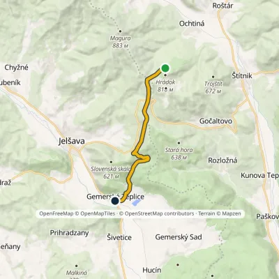 ModerateOne-dayMarkedJelšavská Teplica, stop Ochtinská Aragonite CaveElevation profile237–675 m9.8 kmascent 470 m≈ 3.5 h walking3.3 km from the centre
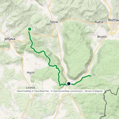 HardTwo-dayMarkedSedlo Hrádok Gombasecká jaskyňaElevation profile212–687 m26.1 kmascent 645 m≈ 8 h walking4.2 km from the centre
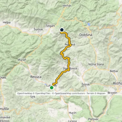 HardMulti-dayMarkedLubeník, station Stará ČuntavaElevation profile274–1 229 m37.3 kmascent 1 922 m≈ 13 h walking4.4 km from the centre
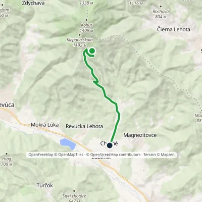 EasyOne-dayMarkedChyžné Dlhý diel, hunting hutElevation profile298–957 m8.4 kmascent 1 m≈ 2 h walking4.9 km from the centre
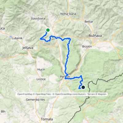 HardMulti-dayMarkedOchtiná Under Dlhý BraloElevation profile214–794 m47.2 kmascent 1 585 m5.3 km from the centre
Peaks nearby
All peaks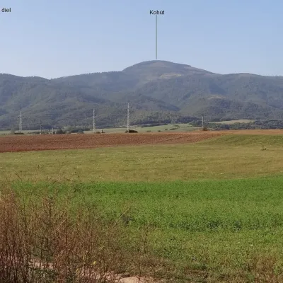 PeakKohútRevúcaaltitude 1 409 m12 km from the centreKohút (Slovak for "rooster"; Hungarian Kakas) is the second-highest peak of the Stolica Mountains (Stolické vrchy), part of the Slovak Ore Mountains, at 1409 m.
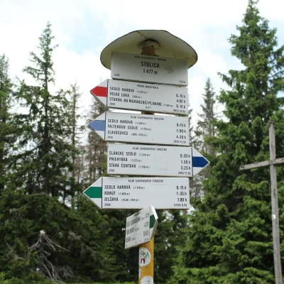 PeakStolicaMuránska Zdychavaaltitude 1 476 m16 km from the centre4 trails to the topStolica (Hungarian Sztolica) is the highest peak of the Stolické vrchy and of the entire Slovak Ore Mountains at 1,476 m.
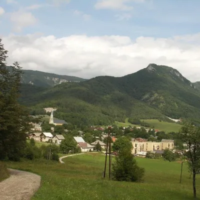 PeakCigánkaMuráňaltitude 935 m20 km from the centreCigánka is a 935 m summit on the south-eastern edge of the Muránska planina plateau, in the Spiš-Gemer Karst, part of the Slovak Ore Mountains.
What to visit
All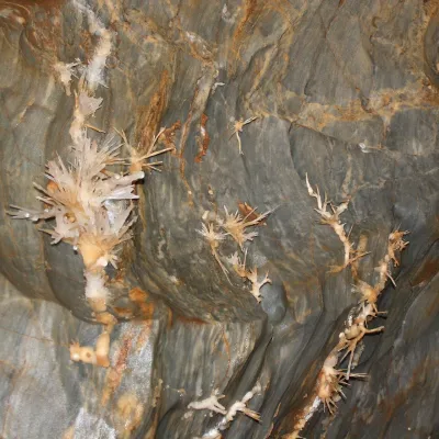 NatureOchtinská Aragonite CaveOchtiná6.5 km from the centreOchtinská Aragonite Cave (Ochtinská aragonitová jaskyňa) is one of the most extraordinary caves in Slovakia.
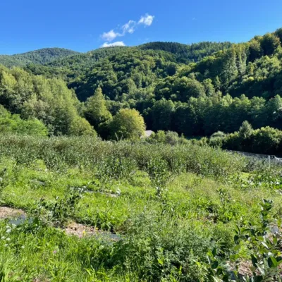 Eco farmsČučoriedková záhrada: pick-your-own blueberries and aronia juiceRatkovské Bystré13 km from the centreHere in 2010 the owners’ family planted the first Canadian blueberry bushes on a small plot — and gradually grew them into the Čučoriedková záhrada (Blueberry Garden).
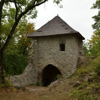 CastleMuráň CastleMuráň20 km from the centreMuráň Castle (Muránsky hrad, officially Muráň) is the ruin of a medieval castle on the summit of Cigánka (935 m) at the southern edge of the Muránska planina plateau,...
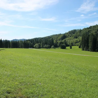 Mountain meadowVeľká lúka on Muránska planinaMuráňaltitude 887 m21 km from the centreVeľká lúka («the Great Meadow») is a huge mountain meadow on the limestone Muránska planina plateau north of the village of Muráň, in the south-eastern part of the...
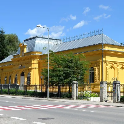 MuseumMining Museum in Rožňava and the Sentinel Experience CentreRožňava21 km from the centreThe Mining Museum in Rožňava (Banícke múzeum v Rožňave) is the main museum of Gemer, an old region of mines and smelters in the south of the Slovak Ore Mountains.
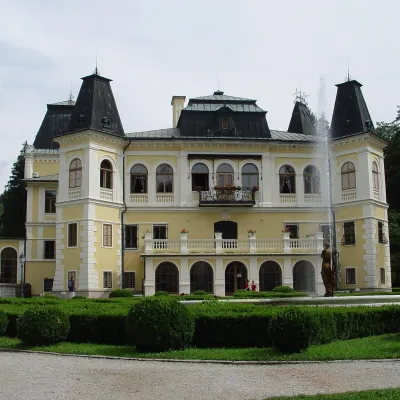 CastleBetliar Manor HouseBetliar22 km from the centreBetliar Manor (Kaštieľ Betliar) is the most visited country house in south-eastern Slovakia. It stands in the village of Betliar, 7 km north of the town of Rožňava on...
Craft nearby
All craft places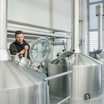 Craft beer & breweriesKaltenecker Brewery, Rožňava: Gemer craft beer from the sourceRožňava22 km from the centreThe modern Kaltenecker brewery was founded in 1997, and from the start it took a different path from the big breweries of the day: instead of one-size-fits-all beer, a...
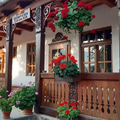 Markets & fairsGemer Craft Fair at Krásnohorská Dlhá Lúka below Krásna HôrkaKrásnohorská Dlhá Lúka25 km from the centreKrásnohorská Dlhá Lúka is a village below Krásna Hôrka castle, a few kilometres from Rožňava. In 2002 the Association of Gemer Craftsmen (Združenie gemerských...
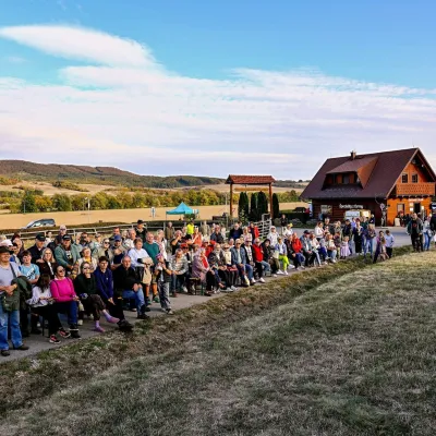 Cheese dairies & pasturesSalaš pod Maginhradom: Gemer sheep’s cheese and the Mitrovanie feastVeľké Teriakovce29 km from the centreAcross the road rises Maginhrad hill: in the 15th century a castle stood there that served as a Hussite fortress, and the Romantic poet Ján Botto dedicated a ballad to...
Huts, shelters and springs nearby
Getting there from Ukraine
Border crossings
- Uzhhorod – Vyšné Nemecké — road, 24/7
- Malyi Bereznyi – Ubľa — road, 24/7 For cars and buses; pedestrians not confirmed by the Ukrainian border service, lorries up to 3.5 t.
- Mali Selmentsi – Veľké Slemence (pedestrian) — pedestrian, 09:00–21:00 Kyiv time Pedestrians and cyclists only; inconvenient for the Tatras without onward transport.
- Chop – Čierna nad Tisou (rail) — rail, 24/7
By car
From Uzhhorod ≈182 km, ≈2 h 45 min without queues: Uzhhorod – Vyšné Nemecké → I/19 via Sobrance and Michalovce to Košice → D1 motorway via Prešov to the exit near Levoča → road 533 to Spišská Nová Ves (≈177 km, ≈2 h 30 min from the border). From Lviv via Uzhok and Ubľa ≈407 km, ≈6 h 40 min; through Poland (Kraków – Nowy Targ) ≈496 km, ≈6 h 20 min. The D1 requires an e-vignette (eznamka.sk).
Checked 23.10.2026; border crossing hours and timetables change — check before you travel.
