Javorinka – Klin
Trail map
Route, springs and shelters: © OpenStreetMap contributors (ODbL) · elevation: Copernicus DEM © DLR e.V., © Airbus DS · Data & licences
About the trail
Route Javorinka – Klin. Has yellow marking (regional route №8773, KST). Waymarking data: OpenStreetMap (© OpenStreetMap contributors, ODbL).
Officially marked regional tourist route No. 8773. The marking is yellow, the sign is a horizontal stripe on a white background. Marked and maintained by: KST. Length of the route — 5.2 km. Location: mountain range — Spišská Magura, Slovakia.
At a glance
A short route of 5.2 km with 13 m of ascent and 259 m of descent from Javorinka to Klin. Estimated walking time: about 1.5 h, not counting stops. Difficulty: easy. Waymarking: yellow.
Route stages
- 0–5 kmDescent of 240 m to Klin
Water and overnight stays
Our map shows no springs near the trail — bring your own water (at least 1 l).
When to go
Best time: May to October. In winter deep snow is possible, so experience and winter gear are needed.
Getting there
Start: Javorinka. This is a one-way route: the finish is 4 km from the start in a straight line, so plan your way back in advance.
FAQ
- How long does the route take?
- Estimated walking time: about 1.5 h, not counting stops.
- Is there water on the route?
- Our map shows no springs near the trail — bring your own water (at least 1 l).
Comments
Trails nearby
All trails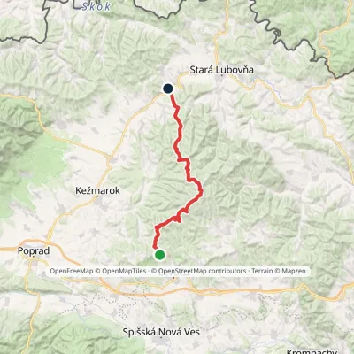 HardMulti-dayMarkedZbojnícka lúka Nižné Ružbachy, ChurchElevation profile549–1 206 m39.5 kmascent 779 m≈ 11.5 h walking
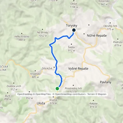 EasyOne-dayMarkedTorysky Below KrúžokElevation profile800–966 m6.6 kmascent 44 m≈ 1.5 h walking
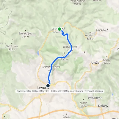 EasyOne-dayMarkedLevoča Levočská dolina, settlementElevation profile553–912 m6.6 kmascent 305 m≈ 2.5 h walking
Craft nearby
All craft places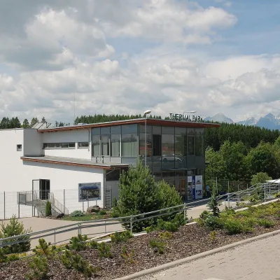 Water parks & thermal poolsThermal Park VrbovVrbov14 km from the trailThermal Park Vrbov is one of the best-known thermal baths in the Spiš region, on the southern edge of the village of Vrbov, about 6 km (as the crow flies) from...
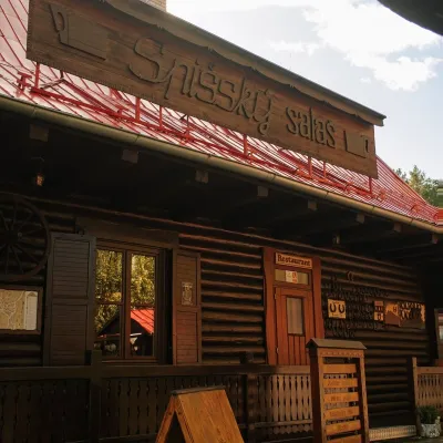 Koliby & Hutsul cuisineSpišský salaš below Spiš Castle: Spiš cooking since 1964Spišská Kapitula15 km from the trailBetween Spiš Castle and Spišská Kapitula, at the edge of the plain below the travertine mound of Sivá brada, stands the wooden Spišský salaš.
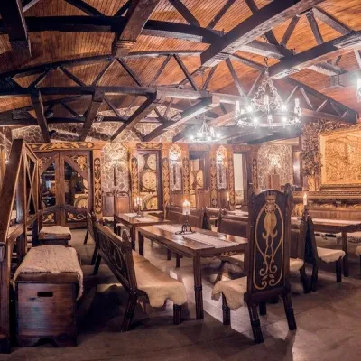 Craft producersNestville Distillery, Hniezdne — Home of the First Slovak WhiskyHniezdne21 km from the trailThis tradition is the basis for BGV, a company founded in 2001, which built the Nestville Distillery here.
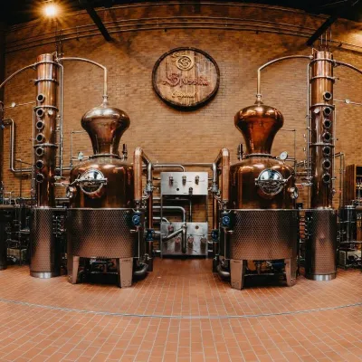 Craft producersSpišská Pálenica, Stará Ľubovňa: distillery tour and Spiš borovičkaStará Ľubovňa21 km from the trailSpiš boasts perhaps the oldest history of distilling in Europe: at the hillfort of Myšia Hôrka near Spišský Štvrtok, part of a distillation vessel from around 1500 BC...
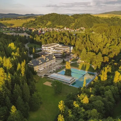 Water parks & thermal poolsVyšné Ružbachy Spa: Izabela Mountain Pools and Indoor Thermal PoolVyšné Ružbachy22 km from the trailVyšné Ružbachy is one of Slovakia’s oldest spas. It lies on the south-eastern slope of the Spišská Magura at about 617 m, surrounded by coniferous forest that merges...
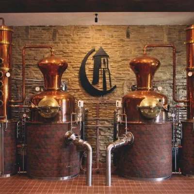 Craft producersCastle Distillery below Ľubovňa Castle: fruit spirits and tastingsStará Ľubovňa23 km from the trailStará Ľubovňa is a town in northern Spiš, overlooked by Ľubovňa Castle. For more than three and a half centuries Ľubovňa was one of the Spiš towns pledged to the...
