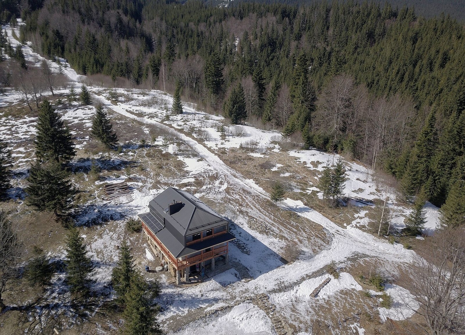
- Photo: Nata Mostova / Wikimedia Commons, CC BY-SA 4.0
Condition
StandingLatest report: standing, usable as a shelter.
As of 09.11.2026 · checked by our editors
- 1 100 m
- Meals served
- All year
- Paid overnight stay
Practical info
- Run by: TURE («Білий Слон»)
- Season: All year
- Food: Kitchen or buffet
- Contacts: +38 098 999 8873 · ture.ua Call to check availability. (number checked against an official source, 09.11.2026)
About
The Bilyi Slon Gadzhyna mountain hut stands on the Gadzhyna meadow at about 1,100 m, below Shpytsi and Rebra in the Chornohora range, inside the Carpathian National Nature Park. It is a 2–3 km walk uphill from the village of Bystrets. The hut belongs to the Bilyi Slon camp network (TURE): rooms for 3–6 people, a separate 6-bed bungalow with a stove and a dining room with a fireplace; meals are cooked on advance order and electricity comes from solar panels. It is open all year: in summer people set off from here to Pip Ivan and Lake Brebeneskul, in winter on ski tours. This is a border zone and guests are registered, so carry a passport or ID card; men aged 18–60 also need their military registration document. Overnight stays are paid — call to check availability.
Comments
Travellers’ experience: reports, tips, questions.
No one has written here yet. Be the first — your experience helps others.
On the map
Coordinates: 48.12881, 24.61199
How to get there
Trails nearby
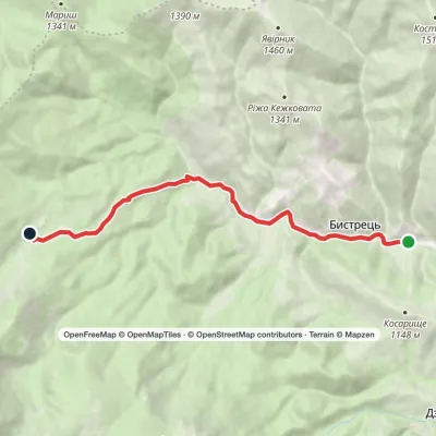 EasyOne-dayBystrets village Hadzhyna polonynaElevation profile778–1 219 m7.9 kmascent 440 m≈ 2.5 h walking
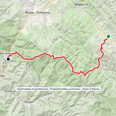 HardTwo-dayKryvopillia village to Kvasy villagevia Mount Turkul, Mount Hoverla +1Elevation profile535–2 061 m50.5 kmascent 2 825 m
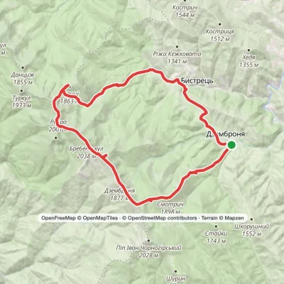 Hard1–2 daysDzembronia village loopvia Mount Smotrych, Mount Dzembronia +2Elevation profile816–2 035 m32.5 kmascent 1 832 m≈ 11 h walking
 HardTwo-dayKrasnyk village to Kozmeshchykvia Mount Shpytsi, Mount HoverlaElevation profile658–2 061 m39.5 kmascent 2 521 m
 Hard1–2 daysKryvopillia village to Zaroslyak basevia Mount Shpytsi, Mount HoverlaElevation profile885–2 061 m33.3 kmascent 2 291 m≈ 12 h walking
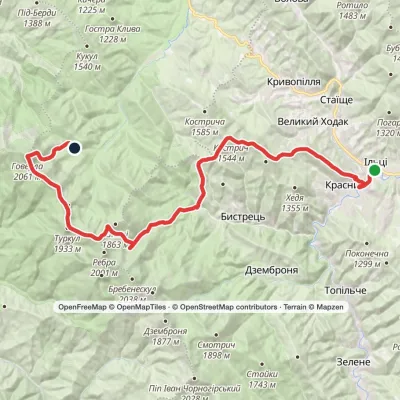 HardTwo-dayKrasnyk village to Zaroslyak basevia Mount Shpytsi, Lake Nesamovyte +1Elevation profile637–2 061 m35.2 kmascent 2 574 m≈ 13 h walking
Nearest settlement: Dzembronia, about 5.5 km in a straight line.
Report the condition
Been here recently? Tell us what you saw and add photos — your report appears on the page right away with today’s date.
Wildlife nearby
All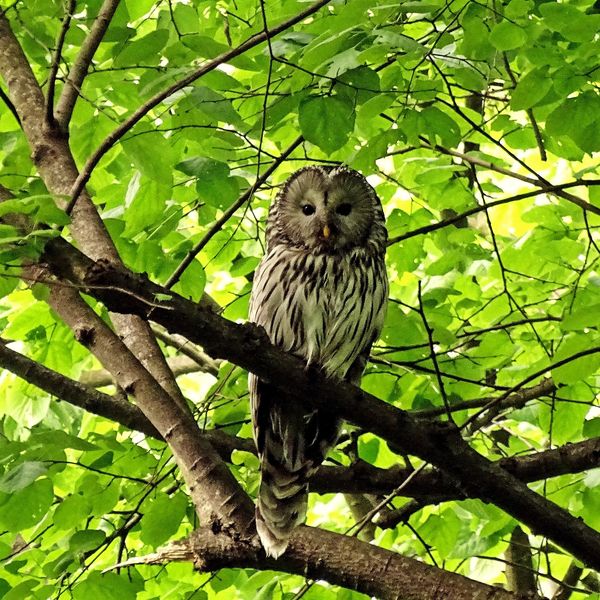
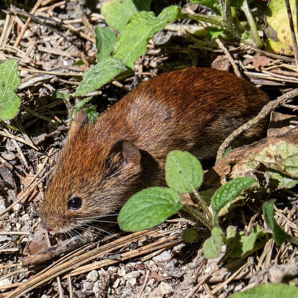
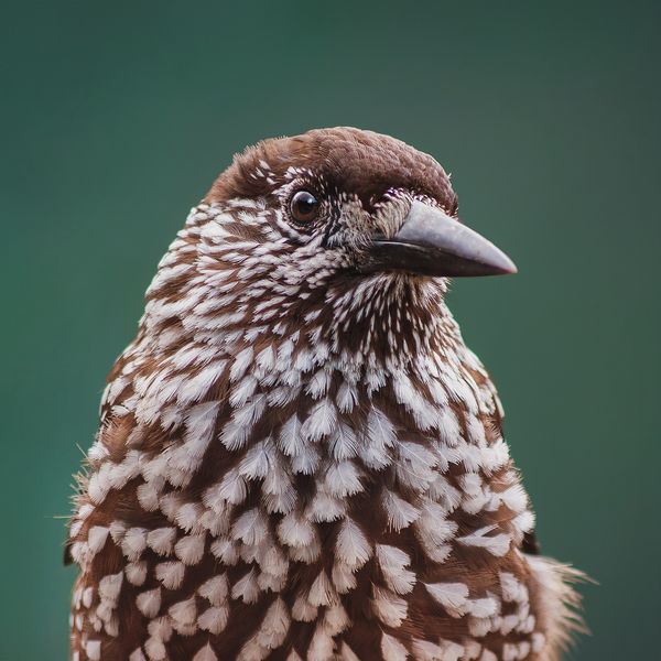
Based on naturalists’ records nearby (GBIF, iNaturalist), matched by altitude, habitat and season. Sightings are not guaranteed.
