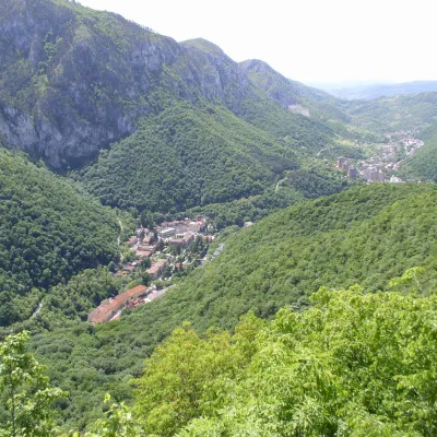
Căleanu Peak
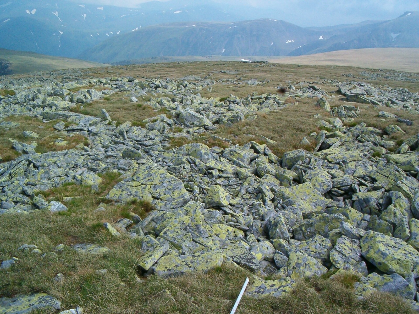
Căleanu Peak (Romanian Vârful Căleanu) is a summit in the Țarcu Mountains on the western edge of the Southern Carpathians, in Romania's Caraș-Severin County. Romanian Wikipedia considers it the highest summit of the Țarcu Mountains and gives its height as 2,196 m; other sources give 2,190 m (Wikidata, Czech and English Wikipedia) or 2,199 m (Hungarian Wikipedia), so Căleanu shares the primacy of the massif with the neighbouring Țarcu and Pietrii peaks. The summit lies about 11 km south of the village of Poiana Mărului and 30 km south-east of the town of Caransebeș.
According to Czech Wikipedia, Căleanu stands on a spur branching north-west from the main ridge. The main ridge of the Țarcu Mountains itself runs from north-east to south-west and consists of the Țarcu – Căleanu, Baicu – Nedeia and Pietrii – Petreanu sections; Muntele Mic stands apart to the west. The massif is bounded by the Timiș and Bistra valleys and, to the south and east, by the valleys of the Rece, Șes and Mare rivers, beyond which lie the Godeanu and the Retezat.
How to get there / trails
A trail marked with a red cross crosses the summit: from the village of Poiana Mărului up the Șucu valley to Căleanu and on to the Plaiului saddle on the main ridge. Czech Wikipedia confirms both options: you can branch off to the summit from the main ridge or climb from Poiana Mărului. The main ridge carries a red stripe from the Gura Apelor dam over Țarcu Peak to the Cuntu weather station, so Căleanu is easy to combine with Țarcu in one hike. Nearby, on the Șcheiului saddle, there is a small refuge – a landmark on the route. The routes are long and lonely; allow plenty of time.
What you can see from the summit
Czech Wikipedia describes Căleanu as a place with far-reaching views. By position, the main ridge with Țarcu lies south-east of the summit and beyond it the Godeanu Mountains, the Retezat lies to the east, and to the north the valley with the village of Poiana Mărului.
Nature and history
Patterned, so-called polygon soils occur on the summit of Căleanu – polygonal patterns on the surface formed by repeated freezing and thawing; the geomorphologist Petru Urdea captured them in a photo at about 2,188 m. Such periglacial forms reflect the harsh climate: the highest ridges of the Țarcu Mountains have up to 200 frost days a year, the mean January temperature drops to −8…−9 °C, and snow in the glacial cirques reaches 2–3 m.
Crystalline schists dominate the Țarcu Mountains; at 2,000–2,200 m remnants of the ancient Borăscu planation surface survive, and glaciers left cirques with lakes. Above 1,600–1,800 m alpine meadows and thickets of dwarf mountain pine, juniper and rhododendron spread. Chamois and capercaillie live here, and bear and wolf in the forests. The mountains form the Natura 2000 site “Munții Țarcu” (ROSCI0126), over 58,000 ha in area; the species it was designated for in 2007 include the European bison, lynx and otter.
Safety, season and rules
Western winds bring a lot of precipitation here, the weather changes quickly, and snow can fall above 1,500 m in any month and lingers in the high cirques until June–July. In winter and spring the ridge requires winter equipment and experience. Salvamont advises not going alone, telling your family your route, carrying a map, compass, torch and enough water, and leaving the ridge at once if a thunderstorm comes.
Bears are common here. Stay on the marked paths, call out, do not hike in the evening or at night, do not keep food in your tent and hang it away from your camp. Sheepdogs near sheepfolds may rush at hikers – do not run, shield yourself with your rucksack. In an emergency call the national dispatch 0SALVAMONT – 0725 826 668 or 112; advice on animal encounters is on the Salvamont România website.
Photos: Petru Urdea, CC BY-SA 4.0 — Wikimedia Commons.
Getting there from Ukraine
Border crossings
- Porubne – Siret — road and pedestrian, 24/7
- Diakivtsi – Racovăț — road and pedestrian, 24/7 No freight traffic.
- Krasnoilsk – Vicovu de Sus — road and pedestrian, 08:00–20:00 Cars up to 3.5 t and pedestrians only; not 24/7.
- Solotvyno – Sighetu Marmației — road and pedestrian, 24/7 Passenger traffic only: vehicles up to 3.5 t with up to 9 seats, pedestrians.
- Diakove – Halmeu — road, 24/7 No pedestrian crossing.
By car
Rakhiv – Petroșani ≈450 km, ≈6 h 36 min (via Solotvyno – Sighetu Marmației); Ivano-Frankivsk – Petroșani ≈584 km, ≈8 h 55 min (via Solotvyno – Sighetu Marmației); Chernivtsi – Petroșani ≈539 km, ≈9 h 19 min (via Krasnoilsk – Vicovu de Sus). Times without border queues, our road routing (GraphHopper, OSM).
Checked 03.11.2026; border crossing hours and timetables change — check before you travel.
Comments
Travellers’ experience: reports, tips, questions.
No one has reported on this trail yet. Been here lately? Tell others what it is like now.
Location on the map
Water and shelter nearby
- Spring below Căleanu980 m · Not verified · 2 026 m
- Spring below Șeiul (west slope)2.3 km · Not verified · 1 885 m
- Spring below Șeiul (north-west slope)2.6 km · Not verified · 1 857 m
- Șaua Șcheiului Hut2.9 km · Not verified · 1 974 m
Trails nearby
All trails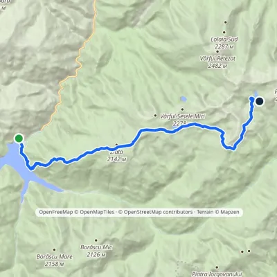 HardOne-dayMarkedLake Gura Apei Lake Bucuravia Lake ZănoagaElevation profile1 072–2 230 m18.7 kmascent 1 600 m≈ 7.5 h walking13 km from Căleanu Peak
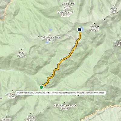 HardOne-dayMarkedLunca Berhina Lake BucuraElevation profile1 237–2 230 m9.7 kmascent 1 099 m≈ 4.5 h walking20 km from Căleanu Peak
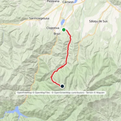 HardOne-dayMarkedRâu de Mori Retezat PeakElevation profile501–2 482 m19.4 kmascent 1 984 m≈ 8 h walking23 km from Căleanu Peak
Nearby attractions
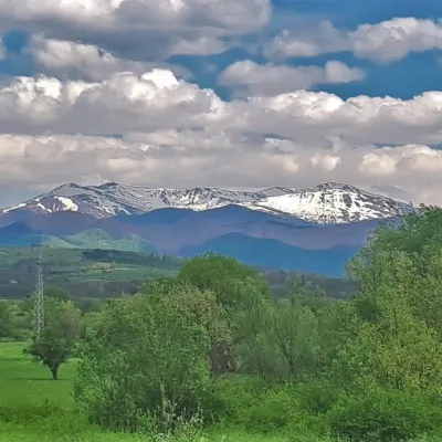 PeakȚarcu Peakaltitude 2 190 m3 km from Căleanu PeakȚarcu Peak (Romanian Vârful Țarcu, Hungarian Szárkő) is a 2,190 m summit in the Țarcu Mountains, on the western edge of the Southern Carpathians in Romania, in Caraș...
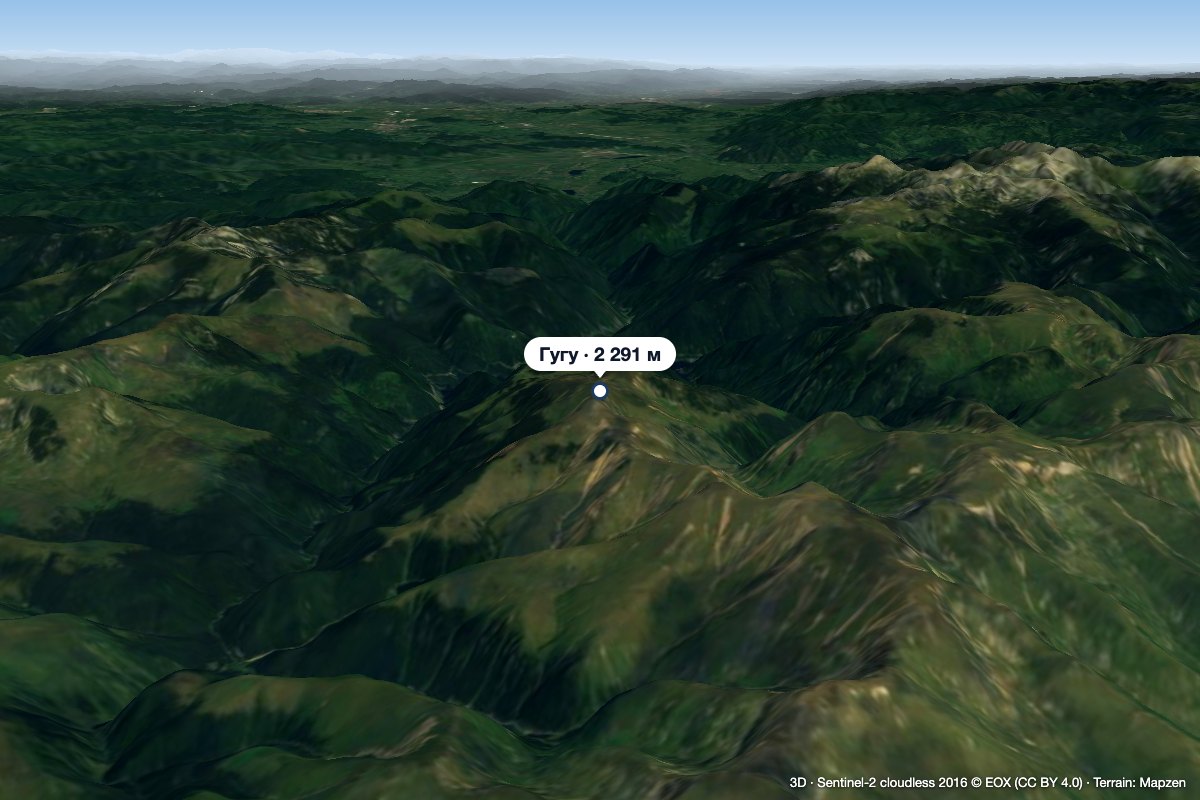 PeakGugu Peakaltitude 2 291 m9.6 km from Căleanu PeakGugu Peak (Romanian Vârful Gugu, also Muntele Gugu) is the highest summit of the Godeanu Mountains, at 2,291 m, in the western part of the Southern Carpathians in...
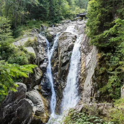 WaterfallLolaia Waterfall (Cascada Lolaia)Nucșoara · Retezat Mountains30 km from Căleanu Peakheight 15 m1 085 m above sea levelLolaia Waterfall (Cascada Lolaia) lies in the northern part of Retezat National Park, in Hunedoara County, on one of the park's busiest routes — the road from the...