Gugu Peak
Gugu Peak (Romanian Vârful Gugu, also Muntele Gugu) is the highest summit of the Godeanu Mountains, at 2,291 m, in the western part of the Southern Carpathians in Romania. The Godeanu lie between the Țarcu Mountains to the west, the Retezat to the north and east and the Cerna Mountains to the south and south-west; together with the Retezat they form the main orographic and hydrographic hub of this mountain group. The peak is in Caraș-Severin County, near the Hunedoara County border.
Romanian Wikipedia calls Gugu the most hidden summit of the Carpathians: it is far from any infrastructure, and there is no village nearby. The peak does not stand on the Godeanu main ridge but on its most important side spur, the Moraru – Gugu ridge, which branches off to the north. This is the highest ridge of the massif, with alpine meadows and very spectacular views; it is bounded on both sides by the deep valleys of the Șes and Branu rivers. To the north the neighbouring peak is Branu (2,031 m), to the south Moraru (2,284 m).
How to get there / trails
According to OSM, a trail marked with a red cross leads to the summit from the Gura Apelor reservoir via the Gugu (Branu) refuge. You can also branch off to the summit from the Godeanu main ridge or climb one of the valleys of the Lăpușnicul Mare river. Romanian Wikipedia also describes an approach from the east: from Câmpușel below Retezatul Mic up to the Paltinul saddle, then over Paltinul peak and the Borăscu plateau to Gugu.
The main form of tourism in the Godeanu is a multi-day traverse of the ridge. There are almost no mountain huts and access is difficult, so plan the route as a self-sufficient trek of several days with a tent and enough food and water.
What you can see from the summit
Czech Wikipedia describes Gugu as a place with far-reaching views. Below the eastern slopes, in a glacial cirque, lies Gugu lake with a smaller neighbouring tarn; to the south runs the Moraru ridge, which links Gugu with the Godeanu main ridge.
Nature and history
The summit is built of amphibolites and gneisses. The Godeanu as a whole consist of crystalline schists of the Getic nappe, and their main feature is huge planation surfaces. The best known of them, the Borăscu platform, lies at 2,000–2,200 m and is best preserved on Mount Borăscu, where the whole alpine landscape is remarkably horizontal. In the Quaternary there were glaciers here: the longest, in the Cerna valley, reached 4 km. They left cirques, moraines and a few glacial lakes. The upper parts of the ridges are covered by alpine pastures where sheep have been grazed for centuries, and many sheepfolds still survive in the mountains.
Gugu is the only mountain over 2,000 m in Romania with an accessible man-made cave on its summit: the Gugu cave (Peștera Gugului) lies at 2,110 m. Many legends surround it and the mountain: the press calls Gugu one of Romania's great mysteries, “the holy mountain of the Dacians” and a place of “strange phenomena”. There is no scientific support for these stories, but they draw some travellers here.
Safety, season and rules
Because of the remoteness, help arrives slowly and there may be no mobile signal. A harsh climate, heavy long-lasting snow, strong winds and freeze–thaw cycles still shape the relief: according to Romanian Wikipedia, avalanches come down the steeper Godeanu slopes and in places cut corridors even into the forest belt. The summit is therefore mainly a summer goal for experienced hikers. Salvamont advises not hiking alone, telling your family your route, noting where you last had phone signal, carrying a map, compass, torch and spare battery, and leaving the ridge if a thunderstorm comes.
Bears are common in the Godeanu. Stay on the marked paths, call out, do not hike in the evening or at night, do not keep food in your tent and hang it away from your camp. Sheepdogs near sheepfolds may rush at hikers – do not run, shield yourself with your rucksack. In an emergency call the national dispatch 0SALVAMONT – 0725 826 668 or 112; advice on animal encounters is on the Salvamont România website.
Getting there from Ukraine
Border crossings
- Porubne – Siret — road and pedestrian, 24/7
- Diakivtsi – Racovăț — road and pedestrian, 24/7 No freight traffic.
- Krasnoilsk – Vicovu de Sus — road and pedestrian, 08:00–20:00 Cars up to 3.5 t and pedestrians only; not 24/7.
- Solotvyno – Sighetu Marmației — road and pedestrian, 24/7 Passenger traffic only: vehicles up to 3.5 t with up to 9 seats, pedestrians.
- Diakove – Halmeu — road, 24/7 No pedestrian crossing.
By car
Rakhiv – Petroșani ≈450 km, ≈6 h 36 min (via Solotvyno – Sighetu Marmației); Ivano-Frankivsk – Petroșani ≈584 km, ≈8 h 55 min (via Solotvyno – Sighetu Marmației); Chernivtsi – Petroșani ≈539 km, ≈9 h 19 min (via Krasnoilsk – Vicovu de Sus). Times without border queues, our road routing (GraphHopper, OSM).
Checked 03.11.2026; border crossing hours and timetables change — check before you travel.
Water and shelter nearby
- Spring below Vârful Scărița1.4 km · Not verified · 2 065 m
- Gugu - Lac Gugu Hut1.9 km · Not verified · 1 896 m
- Drinking water below Branu2.5 km · Not verified · 1 815 m
- Spring below Branu2.8 km · Not verified · 1 653 m
- Branu (Gugu) Hut2.8 km · Not verified · 1 674 m
Comments
Nearby attractions
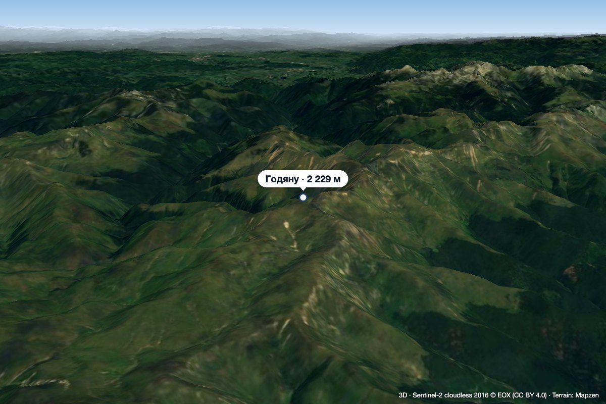 PeakGodeanu Peakaltitude 2 229 m5.5 km from Gugu PeakGodeanu Peak (Romanian Vârful Godeanu) is a 2,229 m summit on the main ridge of the Godeanu Mountains in the western Southern Carpathians of Romania.
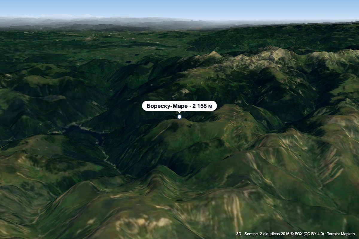 PeakBorăscu Marealtitude 2 158 m5.6 km from Gugu PeakBorăscu Mare (Romanian Vârful Borăscu Mare), often simply called Borăscu, is a 2,158 m summit in the northern part of the Godeanu Mountains in the Southern Carpathians...
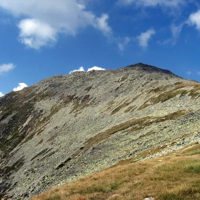 PeakBucura (Retezat)Râușoraltitude 2 433 m18 km from Gugu PeakBucura (Romanian: Vârful Bucura, Hungarian: Bukura-csúcs) is a massive double summit on the northern main ridge of the Retezat Mountains in the Southern Carpathians,...
