Borăscu Mare
Borăscu Mare (Romanian Vârful Borăscu Mare), often simply called Borăscu, is a 2,158 m summit in the northern part of the Godeanu Mountains in the Southern Carpathians of Romania. According to Romanian Wikipedia, it is the highest point of the Borăscu alpine platform, an almost flat high surface whose average altitude exceeds 2,000 m. The peak lies in Hunedoara County, far from any village: the nearest landmarks are the Borăscu refuge about 1.6 km away and the Rotunda forest hut 3.8 km away.
Together with the Gugu ridge, Mount Borăscu branches north from the main ridge of the range towards the Lăpușnicul Mare valley and the Gura Apelor reservoir.
How to get there / routes
On the OSM map, a route «Gura Apelor – Vârful Borăscu» leads to the summit from the Gura Apelor reservoir on the Râul Mare. The waymark colour is not given in the data and the sources give no walking times or distances, so plan the hike with an up-to-date map. The Borăscu refuge is marked near the route – treat it only as a landmark and a possible shelter in bad weather. On the flat platform it is easy to lose direction in fog, so stick to the waymarks and your map.
What you see from the summit
The sources do not describe the panorama. By position, the northern edge of the range should overlook the Lăpușnicul Mare valley with the granite ridges of the Retezat beyond, and to the south the Godeanu main ridge with Gugu and Moraru.
Nature and history
The Borăscu platform is the hallmark of the Godeanu Mountains. According to Romanian Wikipedia, it is an old planation surface at 2,000–2,200 m, named after the village of Borăscu in Gorj County, and it is best preserved on Mount Borăscu itself, where the whole alpine relief is remarkably level. The article on Retezat National Park also lists this surface as one of the «steps» of relief in the wider Retezat–Godeanu region.
Along the edges of the platform, Quaternary glaciers carved cirques with steep rocky walls, and moraines survive on their floors, especially on the southern slopes. The massif consists mostly of crystalline schists, and the ridges are covered by alpine pastures: sheep grazing has a long tradition here, although it is now declining.
Safety, season and rules
The Godeanu high country has a harsh climate: according to Romanian Wikipedia, snow is abundant and long-lasting, strong winds blow and avalanches come down the steep cirque slopes. In winter the waymarks disappear under snow, so the summit is mainly a summer goal for experienced hikers. In summer watch the forecast: there is no shelter from thunderstorms on the open plateau. There may be no mobile signal and there are no tourist huts in the range. Salvamont advises not to hike alone, to tell family your route and to carry a map, compass and spare battery.
Bears are common in the Godeanu Mountains. Stay on the marked paths, talk as you walk so that an animal hears you in advance, do not hike in the evening or at night and do not keep food in your tent. Sheepdogs near sheepfolds may rush at people – do not run, stop and shield yourself with your rucksack. In an emergency call the national dispatch 0SALVAMONT – 0725 826 668 or 112; advice on animal encounters is on the Salvamont România website.
Getting there from Ukraine
Border crossings
- Porubne – Siret — road and pedestrian, 24/7
- Diakivtsi – Racovăț — road and pedestrian, 24/7 No freight traffic.
- Krasnoilsk – Vicovu de Sus — road and pedestrian, 08:00–20:00 Cars up to 3.5 t and pedestrians only; not 24/7.
- Solotvyno – Sighetu Marmației — road and pedestrian, 24/7 Passenger traffic only: vehicles up to 3.5 t with up to 9 seats, pedestrians.
- Diakove – Halmeu — road, 24/7 No pedestrian crossing.
By car
Rakhiv – Petroșani ≈450 km, ≈6 h 36 min (via Solotvyno – Sighetu Marmației); Ivano-Frankivsk – Petroșani ≈584 km, ≈8 h 55 min (via Solotvyno – Sighetu Marmației); Chernivtsi – Petroșani ≈539 km, ≈9 h 19 min (via Krasnoilsk – Vicovu de Sus). Times without border queues, our road routing (GraphHopper, OSM).
Checked 03.11.2026; border crossing hours and timetables change — check before you travel.
Water and shelter nearby
- Borăscu Hut1.6 km · Not verified · 1 721 m
- Spring below Borăscu Mare2 km · Not verified · 1 558 m
Comments
Nearby attractions
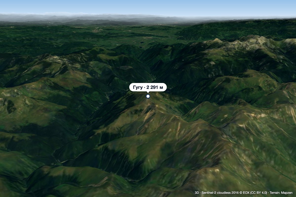 PeakGugu Peakaltitude 2 291 m5.6 km from Borăscu MareGugu Peak (Romanian Vârful Gugu, also Muntele Gugu) is the highest summit of the Godeanu Mountains, at 2,291 m, in the western part of the Southern Carpathians in...
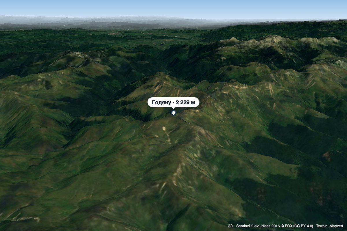 PeakGodeanu Peakaltitude 2 229 m10 km from Borăscu MareGodeanu Peak (Romanian Vârful Godeanu) is a 2,229 m summit on the main ridge of the Godeanu Mountains in the western Southern Carpathians of Romania.
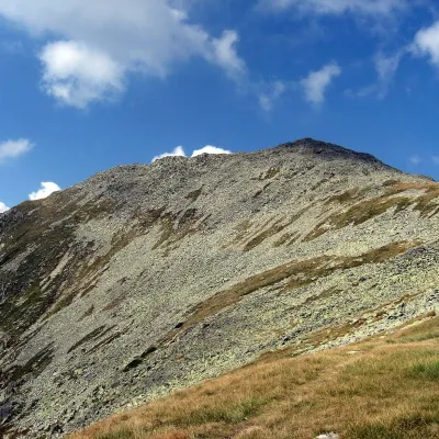 PeakBucura (Retezat)Râușoraltitude 2 433 m12 km from Borăscu MareBucura (Romanian: Vârful Bucura, Hungarian: Bukura-csúcs) is a massive double summit on the northern main ridge of the Retezat Mountains in the Southern Carpathians,...
