Złatna
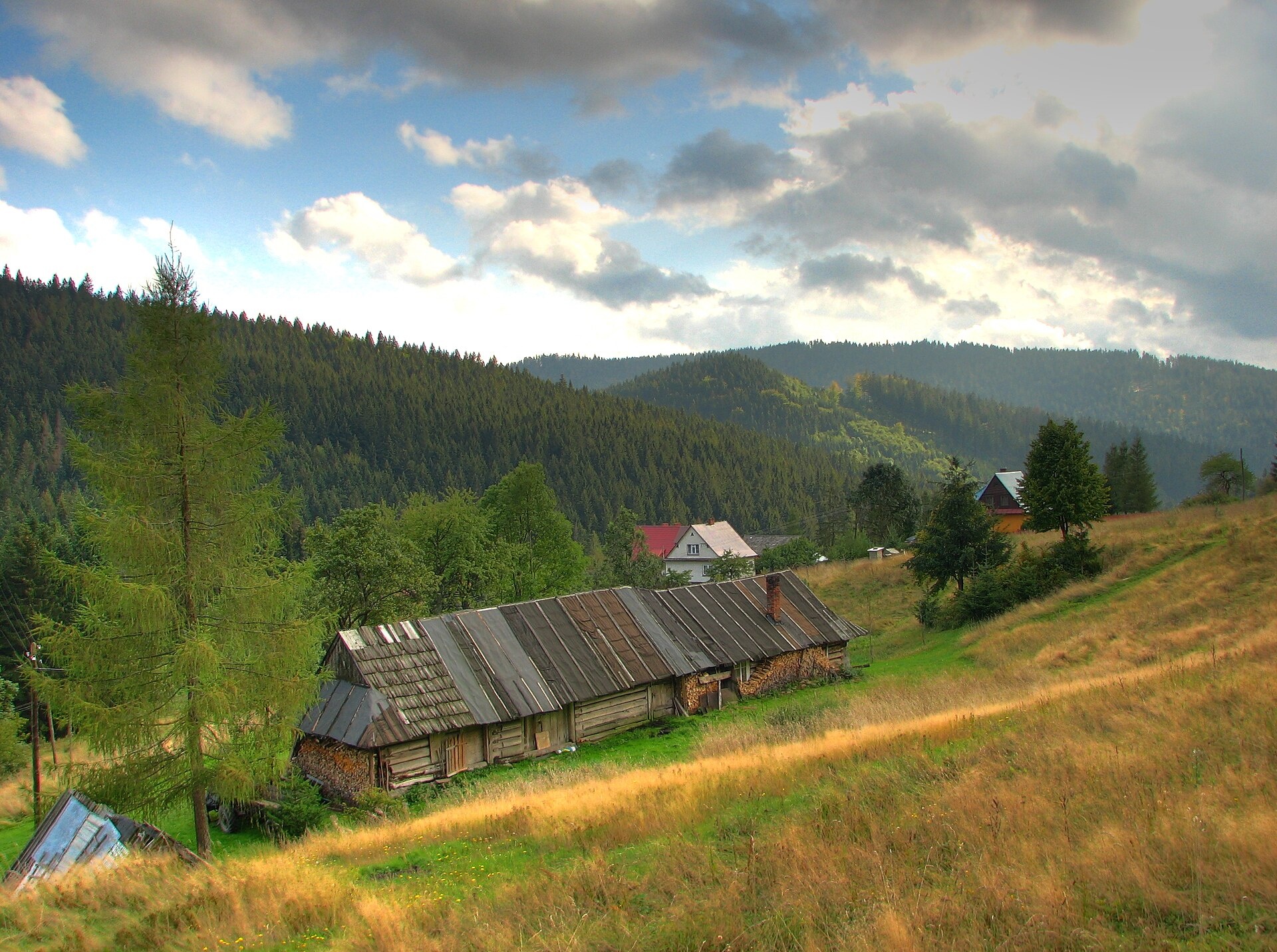
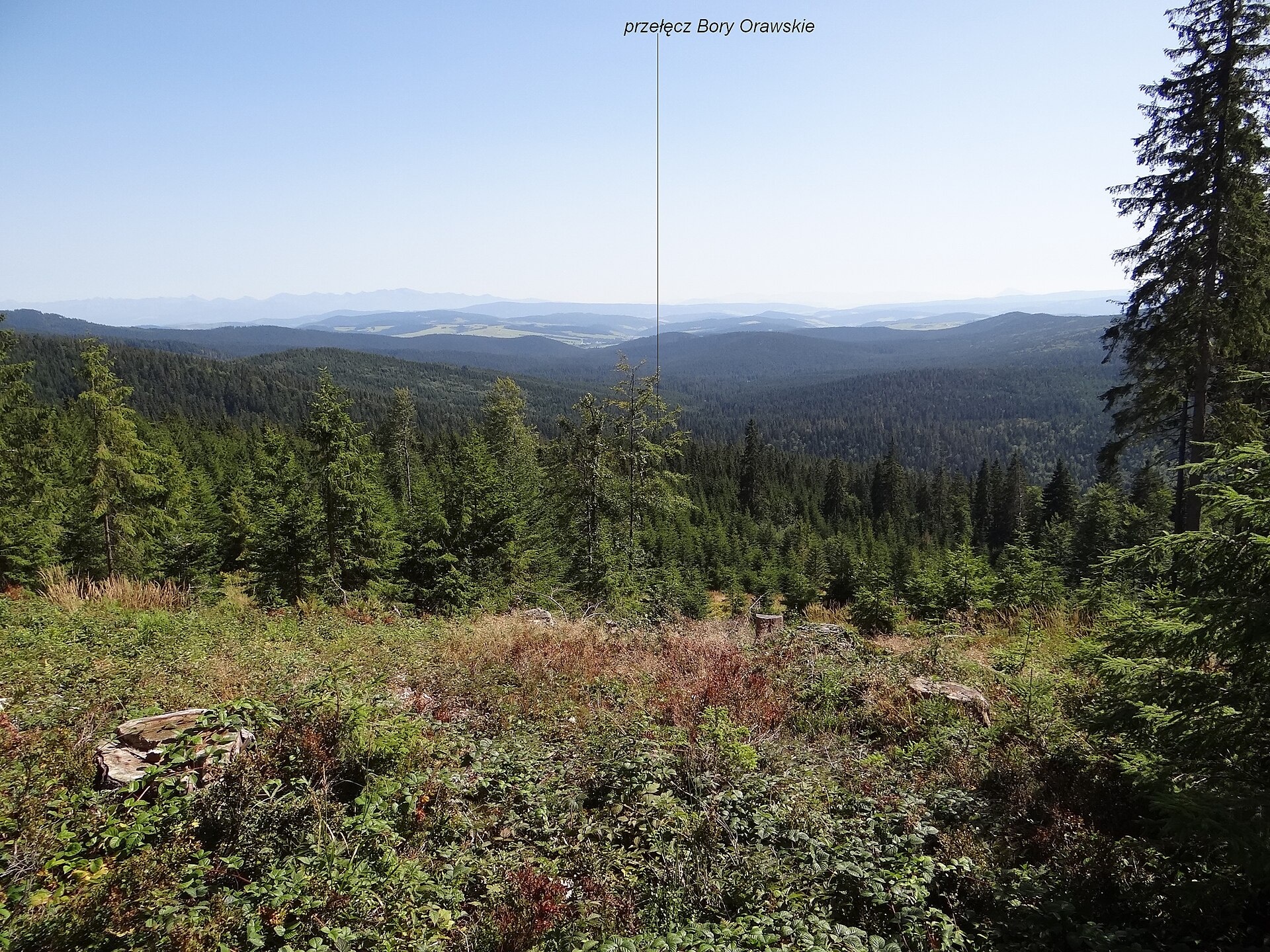
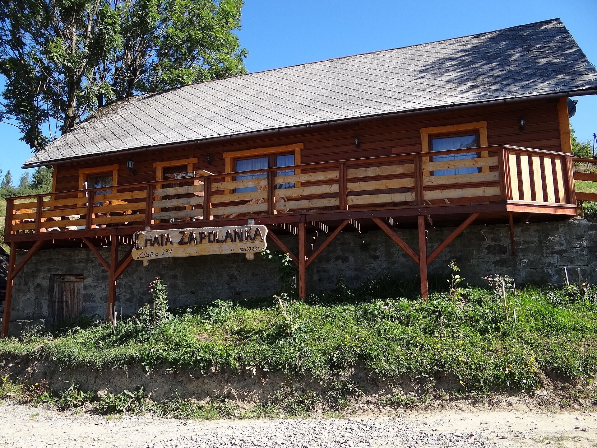
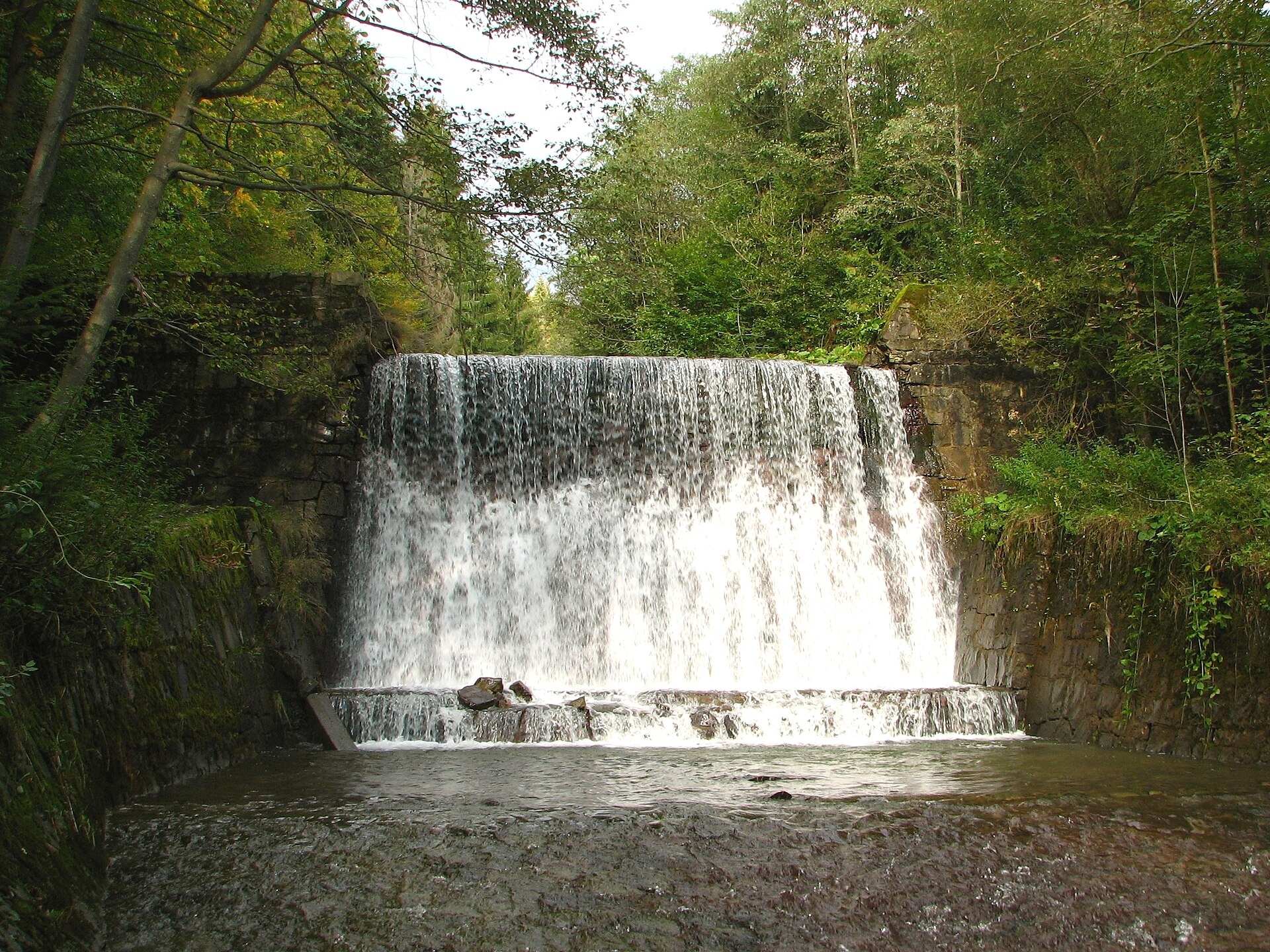
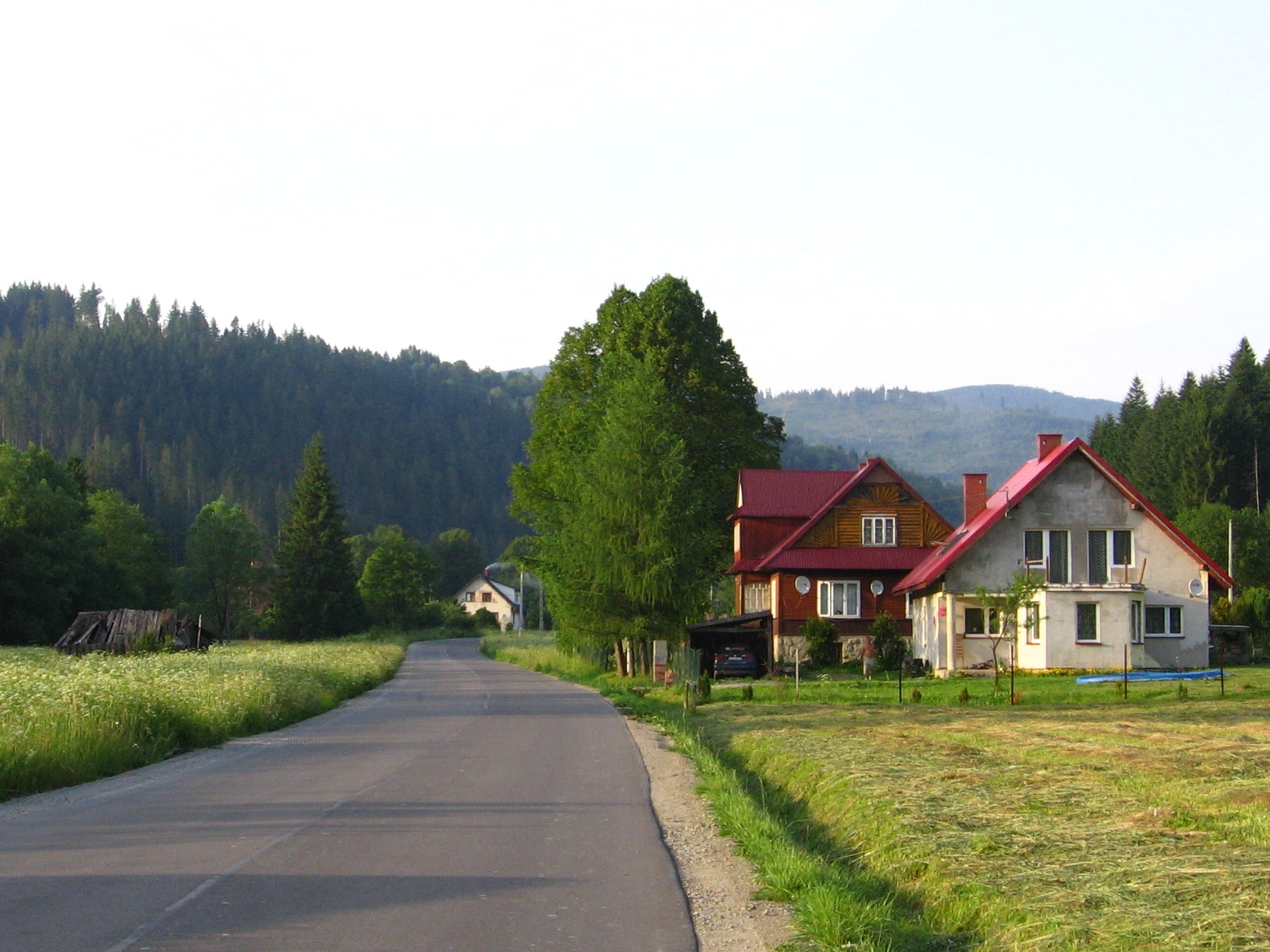
Photos: Gower, CC BY-SA 3.0 (Wikimedia Commons); Jerzy Opioła, CC BY-SA 3.0 (Wikimedia Commons); Jerzy Opioła, CC BY-SA 3.0 (Wikimedia Commons); Adrian Tync, CC BY-SA 4.0 (Wikimedia Commons); Gower, CC BY-SA 3.0 (Wikimedia Commons); Adrian Tync, CC BY-SA 4.0 (Wikimedia Commons)
Złatna is a village in Poland, situated in the administrative district of Gmina Ujsoły, within Żywiec County, Silesian Voivodeship. The village lies in the mountainous area of the Żywiec Beskids, in the upper part of the Bystra stream valley, at an elevation of about 750 m above sea level. The centre is located just above the confluence of the Straceniec stream with Bystra, and some hamlets are spread on the mountain slopes above the valley. Złatna is located within the Żywiec Landscape Park, which helps protect the region's natural and scenic values.
Złatna was most likely founded in the 16th century by Wallachian settlers and belonged to successive owners of the Żywiec estates. The first written mention dates to 1690. In the 19th century, a glassworks operated here, with specialists brought from Czechia and Moravia. During the interwar period, a border guard post was stationed in the village.
The village is known for its forests, typical Western Carpathian vegetation, and rich fauna, including rare species such as bear and wolf. The mountain stream features wooden and stone cascades, which are a tourist attraction. Historical landmarks include a 19th-century forester's lodge and the remains of the glassworks, which operated in the first half of the 19th century.
Visitors to Złatna and its surroundings can explore more than 20 hiking trails, such as "Hala Rysianka – Złatna Huta", "Soł – Przegibek Pass", "Milówka – Ciencyna", and "Rycerka Górna Kolonia – Wielka Racza". Mountain enthusiasts can climb peaks like Wielka Rycerzowa and Wielka Racza. Notable natural and cultural sites include Hala Boracza, Hala Lipowska, and Hala Rysianka. For accommodation, there are shelters such as PTTK on Rycerzowa, on Zagroń, on Hala Boracza, on Hala Lipowska, SSM Soblówka, as well as tourist stations Słowianka and Abrahamów.
Getting there from Ukraine
Lviv – Żywiec ≈412 km, ≈5 h 30 min without queues or tolls: M-10 → Krakovets – Korczowa → A4 to Kraków (≈249 km) → DK52 via Wadowice → DW781 and DW946 to Żywiec. ≈333 km, ≈4 h from the border. Alternative via the tolled A4 Kraków – Katowice and the S1 via Tychy and Bielsko-Biała: ≈457 km, ≈5 h 25 min.
Sources: Wikipedia, Wikidata, OpenStreetMap, Karpaty.rocks data. More on Wikipedia
Trails nearby
All trails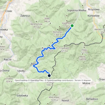 HardTwo-dayMarkedWałęgowka Bacówka PTTK Krawców WierchElevation profile613–1 269 m20.8 kmascent 994 m≈ 7 h walkingunder 1 km from the centre
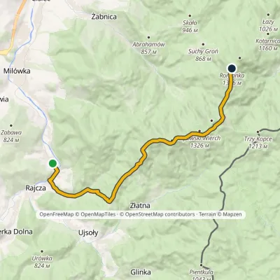 ModerateTwo-dayMarkedRajcza RomankaElevation profile486–1 366 m16.4 kmascent 1 000 m≈ 6 h walking1.5 km from the centre
 EasyOne-dayMarkedUjsoły KęcichłostyElevation profile552–770 m2.4 kmascent 218 m≈ 1 h walking1.6 km from the centre
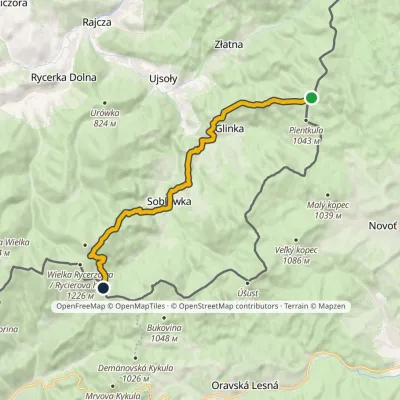 ModerateOne-dayMarkedKrawców Wierch Przysłop PassElevation profile609–1 126 m16.6 kmascent 627 m≈ 5.5 h walking2.2 km from the centre
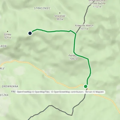 EasyOne-dayMarkedGlinka Pass GlinkaElevation profile844–1 057 m4.1 kmascent 213 m≈ 1.5 h walking2.7 km from the centre
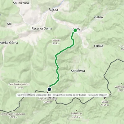 ModerateOne-dayMarkedUjsoły Hala RycerzowaElevation profile548–1 192 m9.7 kmascent 812 m≈ 4 h walking3.1 km from the centre
Peaks nearby
All peaks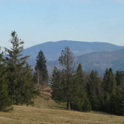 PeakRomankaSopotnia Wielkaaltitude 1 366 m8.7 km from the centreRomanka is a 1,366 m summit in the Żywiec Beskids, the highest of the Lipowski Wierch and Romanka group.
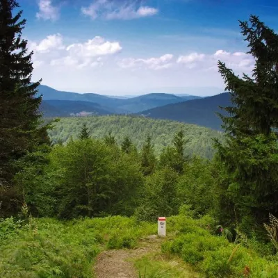 PeakWielka RycerzowaSoblówkaaltitude 1 226 m11 km from the centreWielka Rycerzowa (Slovak Rycierova hora) is a 1226 m summit in the Wielka Racza group on the Polish–Slovak border.
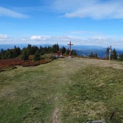 PeakWielka RaczaRycerka Górnaaltitude 1 236 m18 km from the centreWielka Racza (formerly also Rajcza; Slovak Veľká Rača) is a 1,236 m summit on the Polish–Slovak border, the highest point of the Wielka Racza Group of the Żywiec...
What to visit
All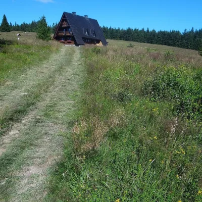 Mountain meadowHala KrawculaGlinkaaltitude 1 050 m3.7 km from the centreKrawcula, or Hala Krawcula, is a mountain meadow and shepherds' pasture below the summit of Krawców Wierch (about 1,075 m) in the western part of the Żywiec Beskids,...
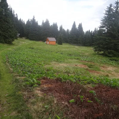 Mountain meadowHala LipowskaZłatnaaltitude 1 290 m5.2 km from the centreHala Lipowska is a large glade on the south-eastern slope of Lipowski Wierch (1,324 m on most maps) in the Żywiec Beskids, within the Żywiec Landscape Park.
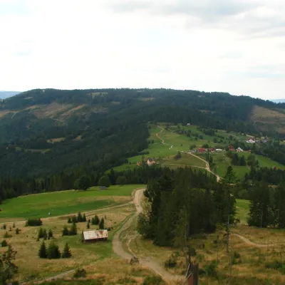 Mountain meadowHala BoraczaŻabnicaaltitude 854 m5.3 km from the centreHala Boracza is a shepherds' pasture in the Żywiec Beskids, in the Lipowski Wierch and Romanka group. It occupies a pass saddle at about 860 m between Prusów (1,010 m)...
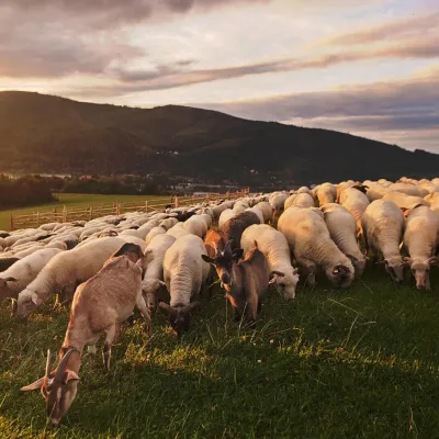 Cheese dairies & pasturesBacówka na Bukowinie, Żabnica: sheep's cheese and alpacasWęgierska Górka12 km from the centreBacówka na Bukowinie stands on a slope above the village of Żabnica, next to Węgierska Górka, where the Żywiec Beskids meet the Silesian Beskids.
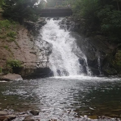 WaterfallSopotnia Wielka FallsSopotnia Wielka13 km from the centreSopotnia Wielka Falls (Wodospad w Sopotni Wielkiej) is the largest waterfall in the Polish Beskids. It drops on the Sopotnia stream right in the centre of the village...
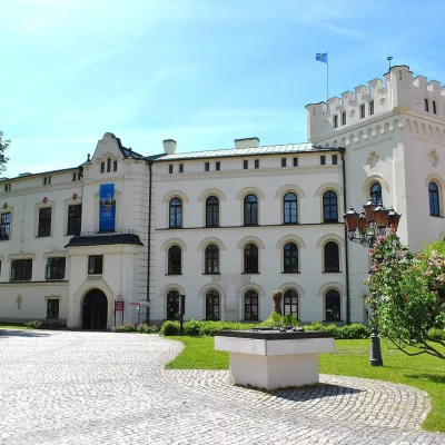 CastleŻywiec castles: Old Castle, Habsburg Palace and parkŻywiec22 km from the centreIn the very centre of Żywiec, two residences of the former lords of the Żywiec estate stand side by side — the Old Castle and the Habsburg Palace, or New Castle —...
Craft nearby
All craft places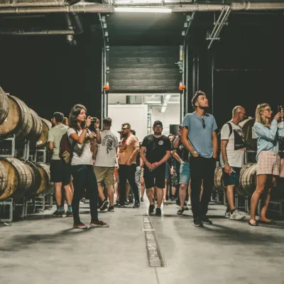 Craft beer & breweriesPINTA Brewery, Wieprz near Żywiec: tours and taproomWieprz17 km from the centrePINTA is the brewery that Poles associate with the start of the “beer revolution”; it calls itself the country's first craft brewery.
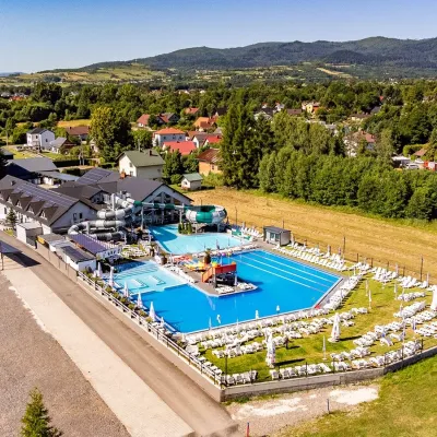 Water parks & thermal poolsAquapark Leśna (Żywiec)Leśna20 km from the centreAquapark Leśna (also called Aquapark Żywiec) is a swimming-pool complex in the village of Leśna, a few kilometres from Żywiec, in the Żywiec Basin, surrounded by the...
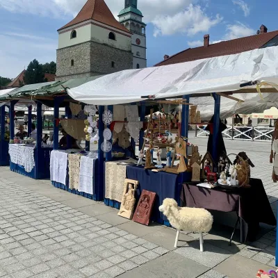 Markets & fairsFolk Art Fair in Żywiec during the Beskidy Week of CultureŻywiec22 km from the centreThe Beskidy Highlanders' Week of Culture (Tydzień Kultury Beskidzkiej, TKB) is Poland's largest folklore festival: it was first held in Wisła in 1964, and today, at...
Spas and thermal pools nearby
Huts, shelters and springs nearby
 1 262 mMountain shelterHala Lipowska HutŻywiec Beskids · PolandStandingOn a trailSleeps up to 43Meals served

Getting there from Ukraine
Border crossings
- Krakovets – Korczowa — road, 24/7
- Shehyni – Medyka — road, 24/7 Pedestrian crossing is not confirmed by the Ukrainian border service — check dpsu.gov.ua before the trip.
- Smilnytsia – Krościenko — road, 24/7
- Hrushiv – Budomierz — road, 24/7
- Mostyska – Przemyśl (rail) — rail, 24/7
By car
Lviv – Żywiec ≈412 km, ≈5 h 30 min without queues or tolls: M-10 → Krakovets – Korczowa → A4 to Kraków (≈249 km) → DK52 via Wadowice → DW781 and DW946 to Żywiec. ≈333 km, ≈4 h from the border. Alternative via the tolled A4 Kraków – Katowice and the S1 via Tychy and Bielsko-Biała: ≈457 km, ≈5 h 25 min.
Checked 23.10.2026; border crossing hours and timetables change — check before you travel.
