Tylmanowa – Jaworzynka
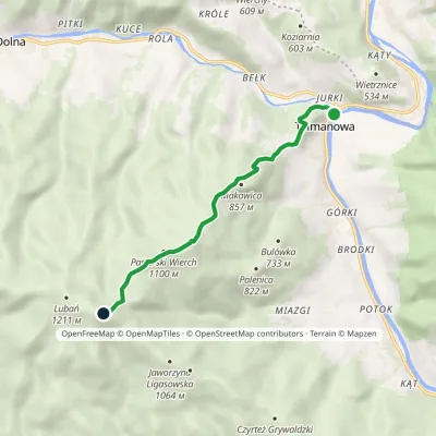
Trail map
Route, springs and shelters: © OpenStreetMap contributors (ODbL) · elevation: Copernicus DEM © DLR e.V., © Airbus DS · Data & licences
About the trail
Route Tylmanowa – Jaworzynka. Has green marking (regional route, PTTK). Waymarking data: OpenStreetMap (© OpenStreetMap contributors, ODbL).
Officially marked regional tourist route. The marking is green, the sign is a horizontal stripe on a white background. Marked and maintained by: PTTK. Length of the route — 4.9 km. Location: mountain range — Sondetsky Beskid, Poland.
At a glance
A short route of 4.9 km with 531 m of ascent from Tylmanowa to Jaworzynka. Estimated walking time: about 2 h, not counting stops. Difficulty: easy. Waymarking: green.
Route stages
- 0–1 kmGentle ups and downs at 380–420 m
- 1–5 kmClimb of 500 m to Kolebisko (820 m)
Steepest kilometre: km 1.5–2.5, a climb of 170 m (≈17%).
Water and overnight stays
A spring near the trail: at km 2.5.
When to go
The route can be walked most of the year; it is most comfortable from April to October.
Getting there
Start: Tylmanowa. This is a one-way route: the finish is 4 km from the start in a straight line, so plan your way back in advance.
FAQ
- How long does the route take?
- Estimated walking time: about 2 h, not counting stops.
- Is there water on the route?
- A spring near the trail: at km 2.5.
Water and shelter on the route
- Spring below Brzeziekm 2.5 from the start · Not verified · 620 m
Comments
Trails nearby
All trails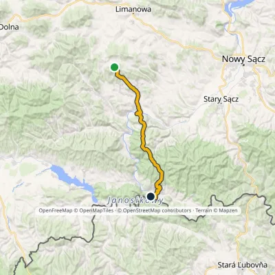

Craft nearby
All craft places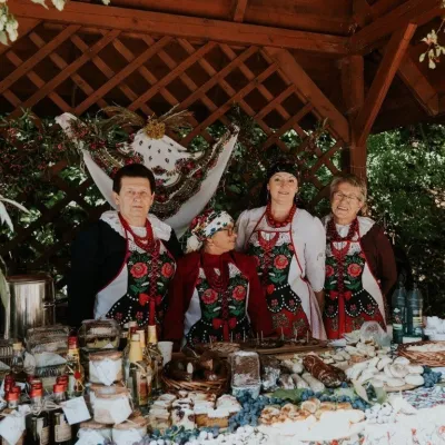 Markets & fairsFruit Harvest Festival in Łącko: village stands, fruit and folkloreŁącko5.8 km from the trailŁącko, in the Dunajec valley between Stary Sącz and the Pieniny, is one of Poland's best-known fruit-growing areas: the slopes around are covered with apple, pear and...
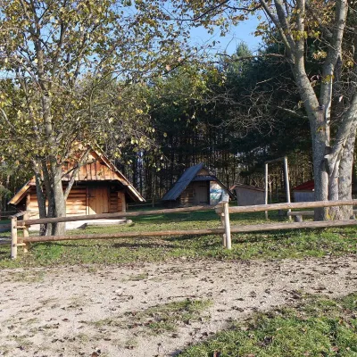 Cheese dairies & pasturesMajerz Meadow Shepherd's Hut, Pieniny National Park: oscypek and żętycaKrośnica10 km from the trailMajerz meadow (hala) sits on a 689 m hill between Czorsztyn-Nadzamcze and the village of Hałuszowa, above Lake Czorsztyn.
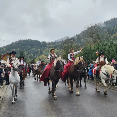 Markets & fairsAutumn Redyk in Szczawnica: sheep drive, oscypek and shepherdsSzczawnica11 km from the trailRedyk is an old Carpathian shepherding custom: in spring the flocks are driven up to the mountain pastures (hale), and in autumn, after the cheese-making season, they...
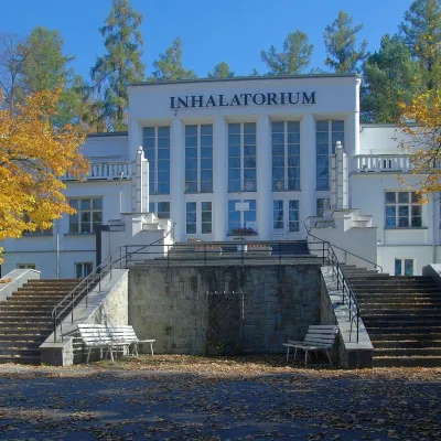 Water parks & thermal poolsSzczawnica spa: pump room, waters and the InhalatoriumSzczawnica12 km from the trailThe Szczawnica spa (Uzdrowisko Szczawnica) is all about water and air: in the valley of the Grajcarek stream, between the Pieniny and the Beskid Sądecki at 430–500 m,...
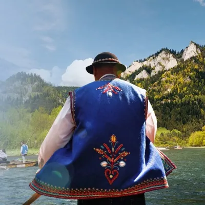 Ethno tours & guidesGoral raftsmen of Červený Kláštor: wooden-raft trip on the DunajecČervený Kláštor13 km from the trailBetween Červený Kláštor and Lesnica the Dunajec cuts a deep, winding gorge through the limestone Pieniny, and here the river becomes the border between Slovakia and...
 Craft beer & breweriesPersonall Kraft Brewpub, Stary SączStary Sącz20 km from the trailPersonall Kraft is a family-run brewpub in Stary Sącz where the beer is brewed right in the dining hall: the big brewing vessels are visible from the tables.
