Trnové — Saračníky, via Stráňavy, Forester's Lodge
Trail map
Route, springs and shelters: © OpenStreetMap contributors (ODbL) · elevation: Copernicus DEM © DLR e.V., © Airbus DS · Data & licences
About the trail
Route Trnové – Stráňavy, Forester's Lodge – Saračníky. Has green marking (regional route №5664a, KST). Waymarking data: OpenStreetMap (© OpenStreetMap contributors, ODbL).
Officially marked regional tourist route No. 5664a. The marking is green, the sign is a horizontal stripe on a white background. Marked and maintained by: KST. Length of the route — 9.1 km. Location: mountain range — Mala Fatra, Slovakia.
At a glance
A one-day route of 9.1 km with 651 m of ascent from Trnové to Saračníky. Estimated walking time: about 3.5 h, not counting stops. Difficulty: moderate. Waymarking: green.
Route stages
- 0–3.5 kmGentle ups and downs at 380–520 m
- 3.5–9 kmClimb of 510 m to Javorina Pass
Steepest kilometre: km 8–9, a climb of 120 m (≈12%), near Javorina Pass.
Water and overnight stays
A spring near the trail: at km 7.5.
When to go
Best time: May to October. In winter deep snow is possible, so experience and winter gear are needed.
Getting there
Start: Trnové. This is a one-way route: the finish is 5 km from the start in a straight line, so plan your way back in advance.
FAQ
- How long does the route take?
- Estimated walking time: about 3.5 h, not counting stops.
- Is there water on the route?
- A spring near the trail: at km 7.5.
Water and shelter on the route
- Spring below Rázsošná (north-west slope)km 7.7 from the start · Not verified · 877 m
Comments
Trails nearby
All trails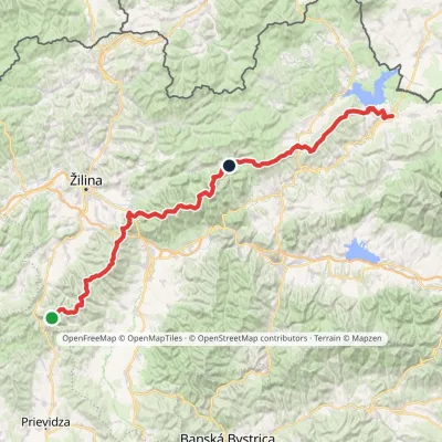 HardMulti-dayMarkedKľak TrstenáElevation profile354–1 671 m119.6 kmascent 7 571 m
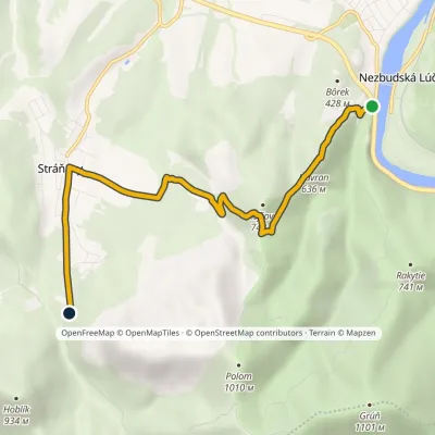 EasyOne-dayMarkedStrečno, under the castle Stráňavy, forester's lodgevia Sedlo pod KojšovouElevation profile369–726 m6.3 kmascent 495 m≈ 2.5 h walking
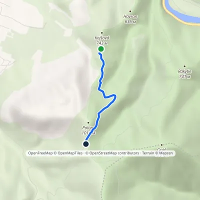 EasyOne-dayMarkedSedlo pod Kojšovou Sedlo JavorinaElevation profile693–976 m2.3 kmascent 286 m≈ 1 h walking
Craft nearby
All craft places Cheese dairies & pasturesFarma Brezany near Žilina: hand-stretched cheese and a distilleryBrezany9.3 km from the trailBrezany is a village a few kilometres south of Žilina, on the edge of the Žilina basin and the foothills leading towards the Rajec valley and the Strážov Hills.
 Water parks & thermal poolsSpa Aphrodite thermal pools, Rajecké TepliceRajecké Teplice10 km from the trailHot mineral water rises here, and it feeds the Spa Aphrodite resort, whose thermal pools, saunas and Natural Spa zone are open not only to patients but to anyone with...
 Cheese dairies & pasturesSalaš Syrex in Zázrivá — Home of the Zázrivá Korbáčik CheeseZázrivá24 km from the trailZázrivá is a scattered mountain village on the border of Orava and the Malá Fatra, famous throughout Slovakia for its korbáčiky: thin strings of steamed cheese braided...
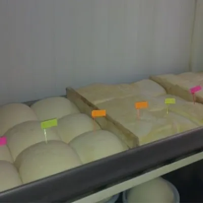 Cheese dairies & pasturesSalaš Orlové near Považská Bystrica: cheese, bryndza, žinčicaPovažská Bystrica27 km from the trailOrlové is a part of the town of Považská Bystrica on the left bank of the Váh, at the foot of hills that rise into the Strážov Hills.
 Cheese dairies & pasturesRaková farm in Kysuce: bryndza, žinčica and cheese cakesRaková29 km from the trailKysuce is a hilly region in north-western Slovakia, near the Polish and Czech borders, with scattered hillside hamlets (“kopanice”) and an old tradition of keeping...
 Cheese dairies & pasturesSalaš Pružina: 100% sheep’s bryndza in the Strážov HillsPružina30 km from the trailPružina is a village in a picturesque valley of the Strážov Hills (Strážovské vrchy) west of Považská Bystrica.
