Pcim
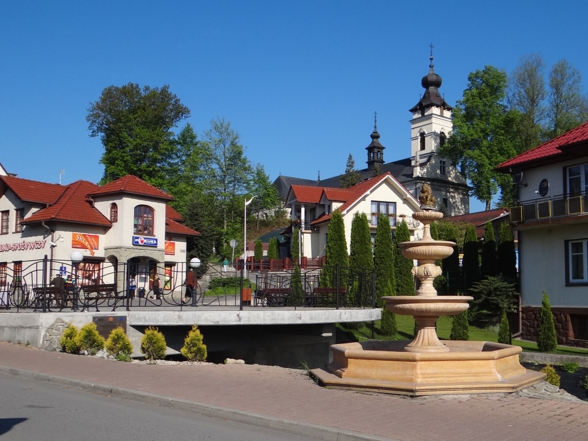

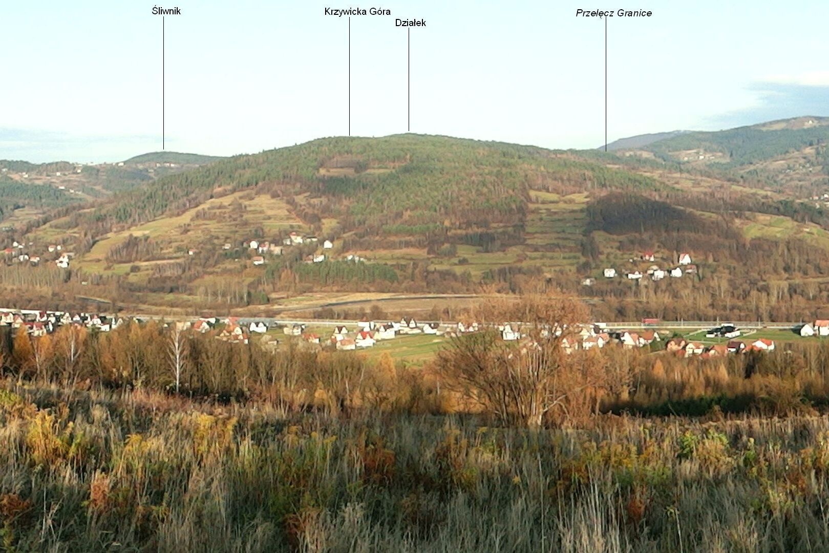
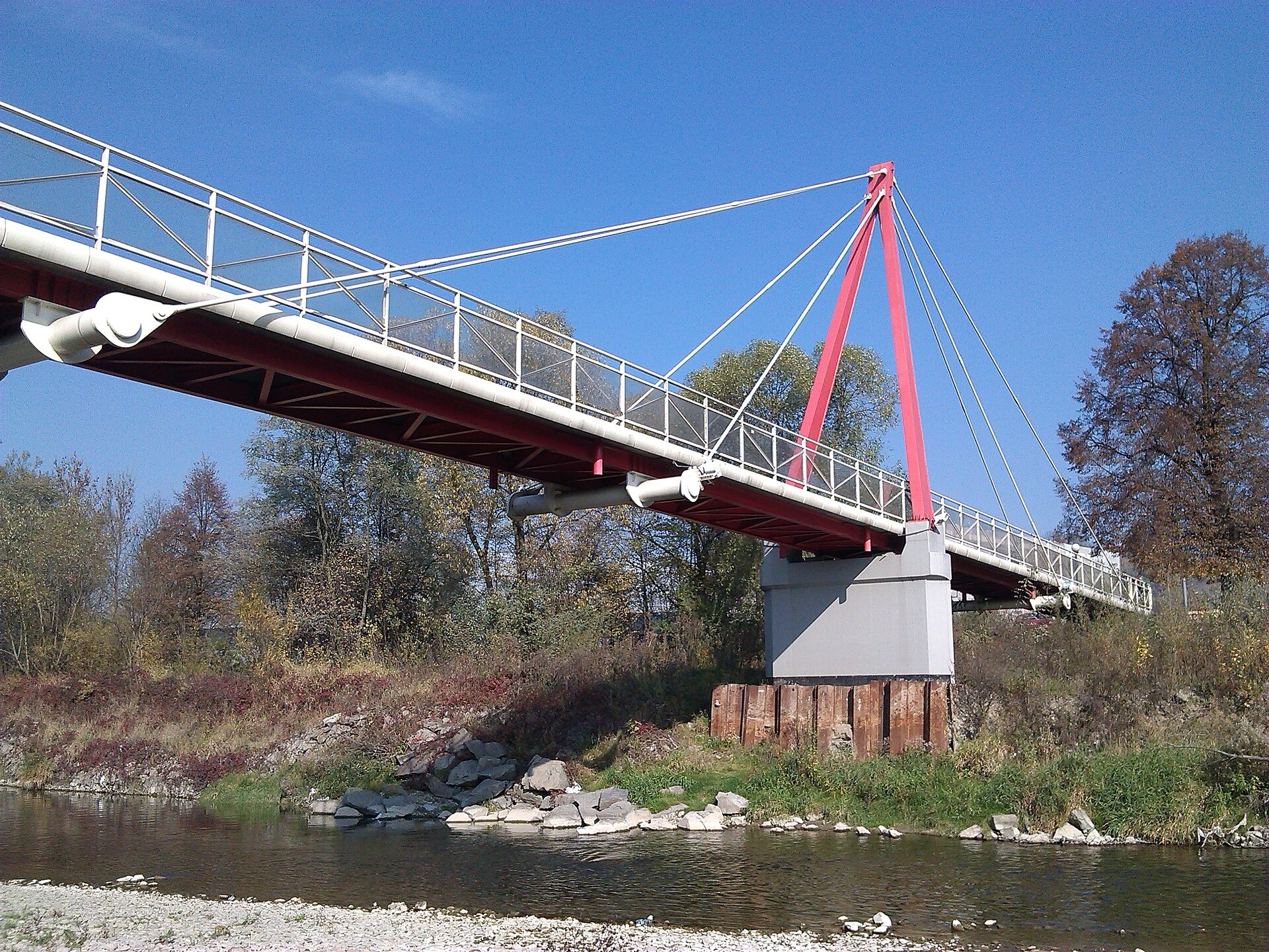
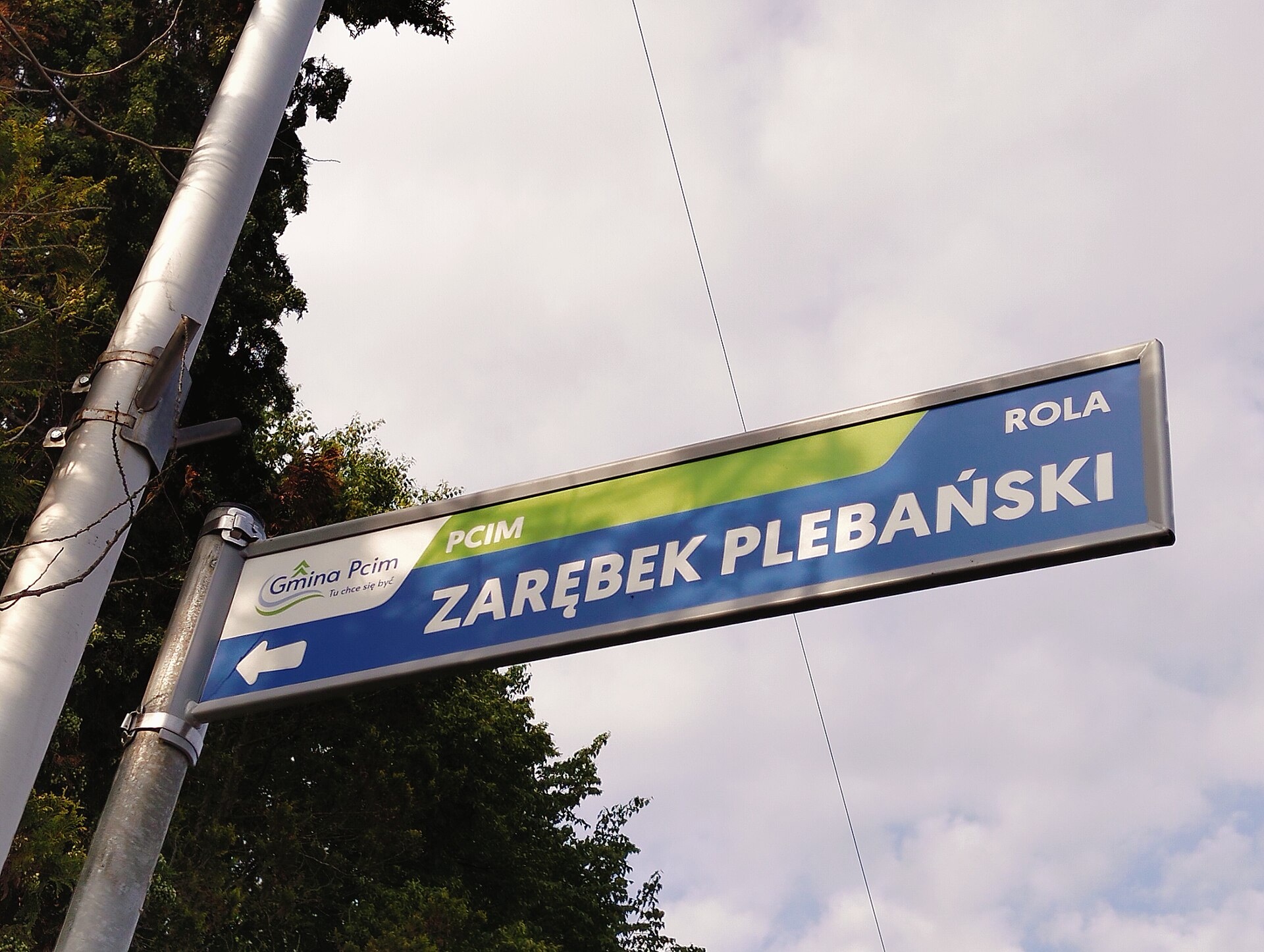
Photos: Jerzy Opioła, CC BY-SA 4.0 (Wikimedia Commons); Wojciech Biegun, CC BY-SA 3.0 (Wikimedia Commons); Jerzy Opioła, CC BY-SA 3.0 (Wikimedia Commons); Wojciech Biegun, CC BY-SA 3.0 (Wikimedia Commons); MOs810, CC BY 4.0 (Wikimedia Commons); Spam46200, CC BY-SA 4.0 (Wikimedia Commons)
Pcim is a village in Poland, located in the administrative district of Gmina Pcim, Myślenice County, Lesser Poland Voivodeship. The village lies at the foot of the Island Beskids, surrounded by the rolling hills of southern Poland. Pcim serves as the seat of its gmina and is divided into three districts: Pcim Centrum, Pcim Krzywica, and Pcim Sucha.
The first settlers arrived here in the early 13th century, invited by Prince Leszek I the White. In 1338, King Casimir III the Great established the parish of St. Nicholas. The village was originally called Nedanowa Wola after the Czech knight Nedan, who founded it. According to a 1629 record, Pcim had two mills.
Pcim is known for its location near the Island Beskids, making it attractive for lovers of nature and mountain tourism. During World War II, defensive battles took place here, and the village was an important center for the Home Army. Pcim also suffered during the 2010 Central European floods. In Polish popular culture, the name Pcim is often used as a symbol of a small, provincial place.
Visitors to Pcim can enjoy hiking in the Island Beskids, with numerous trails starting or passing nearby, such as "Pcim – Kudłacze", "Kotoń – Zembolowa", and "Maków Podhalański – Pcim". The area offers the chance to climb Luboń Wielki peak or visit mountain huts like the PTTK Hut on Kudłacze and the Hut on Luboń Wielki. The region is also interesting for exploring local highlander culture.
Getting there from Ukraine
Lviv – Zakopane ≈421 km, ≈5 h 10 min without border queues. Route: M-10 Lviv – Krakovets → Krakovets – Korczowa checkpoint → A4 motorway (Rzeszów – Tarnów – Kraków) → Kraków southern bypass → S7/DK7 → DK47 ('Zakopianka') via Nowy Targ → Zakopane. The A4 Katowice – Kraków section (Balice and Mysłowice toll plazas) is tolled, but this route does not use it. In summer and at weekends the DK47 near Zakopane is often congested.
Sources: Wikipedia, Wikidata, OpenStreetMap, Karpaty.rocks data. More on Wikipedia
What's nearby
Trails nearby
All trails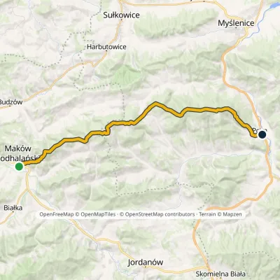 HardTwo-dayMarkedMaków Podhalański PcimElevation profile328–860 m26.9 kmascent 870 m≈ 8.5 h walkingunder 1 km from the centre
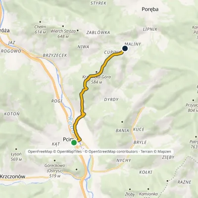 EasyOne-dayMarkedPcim DziałekElevation profile320–607 m5.8 kmascent 290 m≈ 2 h walkingunder 1 km from the centre
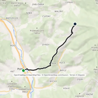 EasyOne-dayMarkedPcim KudłaczeElevation profile323–735 m6.1 kmascent 438 m≈ 2.5 h walkingunder 1 km from the centre
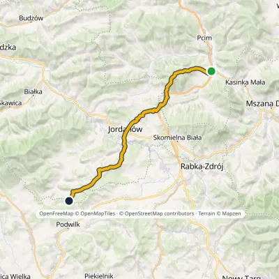 HardMulti-dayMarkedLubień SidzinaElevation profile348–854 m30.7 kmascent 1 001 m≈ 9.5 h walking3.4 km from the centre
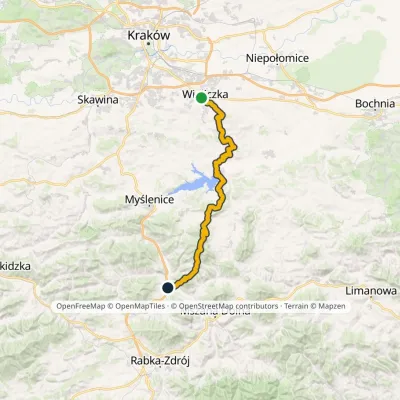 HardMulti-dayMarkedWieliczka Warzelnia LubieńElevation profile232–894 m49.7 kmascent 1 468 m3.7 km from the centre
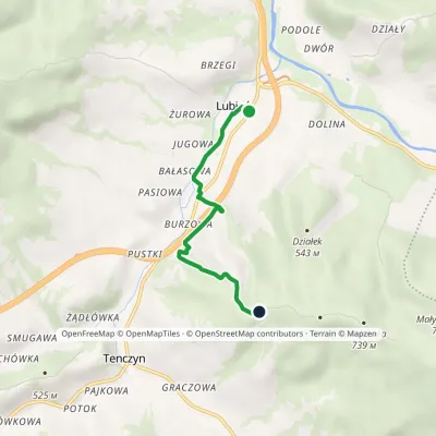 EasyOne-dayMarkedLubień Municipal Walking PathElevation profile357–628 m4 kmascent 274 m≈ 1.5 h walking4 km from the centre
Peaks nearby
All peaks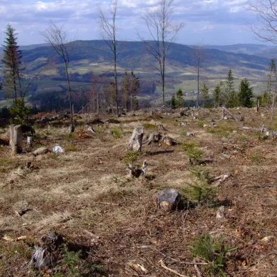 PeakZębalowaŁętowniaaltitude 854 m5.9 km from the centreZębalowa (locally Zębolowa) is a broad 854 m summit and a mountain massif of the same name in the north-western part of the Island Beskids (Beskid Wyspowy) in southern...
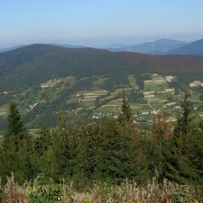 PeakSzczebelKlimkówkaaltitude 977 m7.7 km from the centreSzczebel, also Strzebel, is a prominent 977 m mountain in the Island Beskids (Beskid Wyspowy). It stands right above the S7 «Zakopianka» expressway from Kraków to...
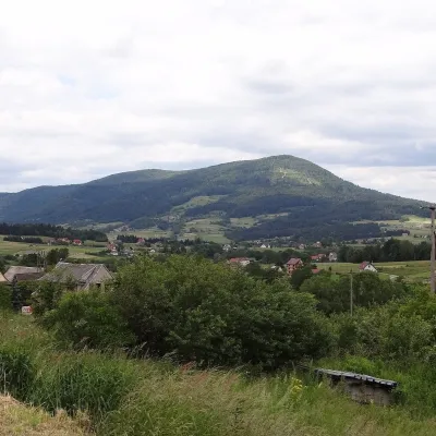 PeakLubogoszczMszana Dolnaaltitude 968 m10 km from the centreLubogoszcz (Górale dialect: Libogosc) is a prominent 968 m summit in the Island Beskids (Beskid Wyspowy) in southern Lesser Poland.
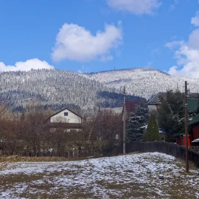 PeakLuboń WielkiGlisnealtitude 1 022 m11 km from the centreLuboń Wielki is a 1,022 m summit and the most prominent mountain of the Island Beskids, rising about 512 m above its key col.
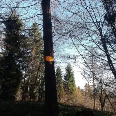 PeakBabica (Maków Beskids)Trzebuniaaltitude 728 m13 km from the centreBabica is a wooded summit about 728 m high in the Makowski Beskids in the south of the Lesser Poland Voivodeship, Poland.
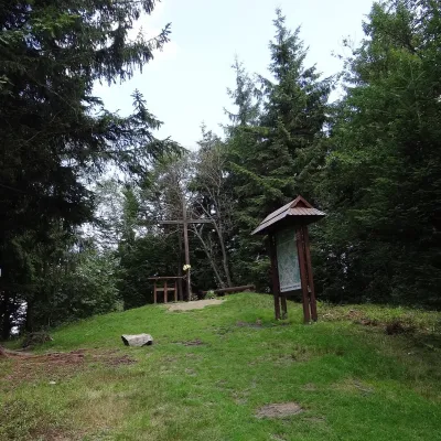 PeakŚnieżnicaGruszowiecaltitude 1 007 m16 km from the centreŚnieżnica is a 1007 m mountain in the Island Beskids (Beskid Wyspowy) in Lesser Poland Voivodeship, southern Poland.
What to visit
All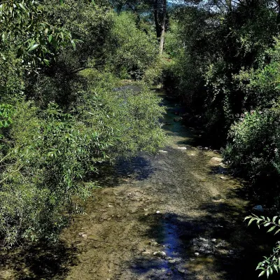 RiverRaba RiverRabka-Zdrój16 km from the centreThe Raba is a right-bank tributary of the Vistula in the Lesser Poland Voivodeship. It is 131.9 km long, its basin covers 1,537.1 km², and 86% of that basin lies in...
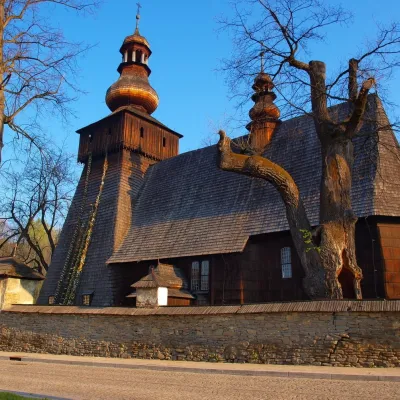 MuseumWładysław Orkan Museum in Rabka-ZdrójRabka-Zdrój16 km from the centreThe Władysław Orkan Museum (Muzeum im. Władysława Orkana) in the spa town of Rabka-Zdrój is one of the oldest regional museums in the Polish Beskids.
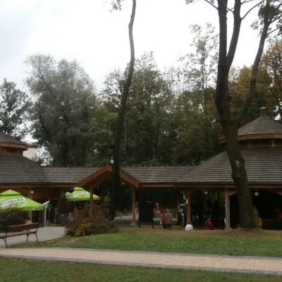 Water parks & thermal poolsRabka-Zdrój spa: brine graduation tower, pump rooms, treatmentsRabka-Zdrój16 km from the centreRabka-Zdrój is a spa in the Raba valley between the Gorce, the Beskid Wyspowy and the Beskid Makowski, halfway from Kraków to Zakopane.
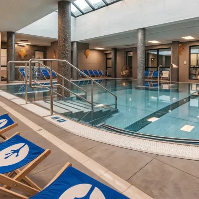 Water parks & thermal poolsTermy Gorce thermal bathsNiedźwiedź17 km from the centreTermy Gorce is a small, cosy thermal complex in the village of Poręba Wielka, in the municipality of Niedźwiedź, at the foot of the Gorce Mountains.
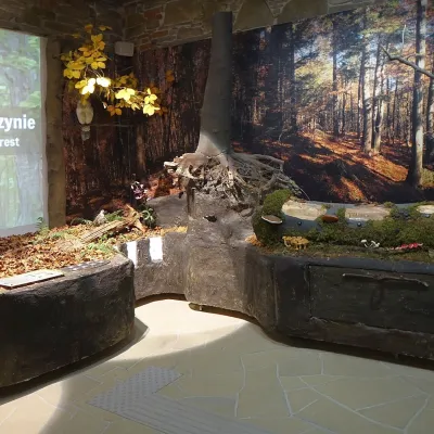 MuseumGorce National Park Nature Exhibition, Poręba WielkaPoręba Wielka17 km from the centreThe Gorce National Park Nature Exhibition (Wystawa Przyrodnicza w Ośrodku Edukacyjnym GPN) is the main attraction of the park's Education Centre in Poręba Wielka, in...
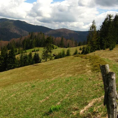 Mountain meadowTurbaczyk GladeKoninaaltitude 1 025 m22 km from the centreTurbaczyk is a summit meadow on the mountain of the same name in the Gorce, on the northern side of the Turbacz massif.
Craft nearby
All craft places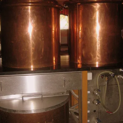 Craft shopsCistercian monastery shop, Szczyrzyc: abbey cheese, milk and Gryf beerSzczyrzyc16 km from the centreIts heart is the Cistercian abbey: the monks arrived in the first half of the 13th century and, according to the monastery itself, have lived here without interruption...
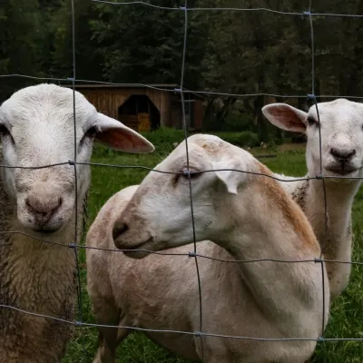 Eco farmsOrawskie Ranczo Educational Farm, Harkabuz: animals and craft workshopsHarkabuz26 km from the centreOrawskie Ranczo is a small family educational farm (zagroda edukacyjna) in the village of Harkabuz near Raba Wyżna, where Orawa meets Podhale.
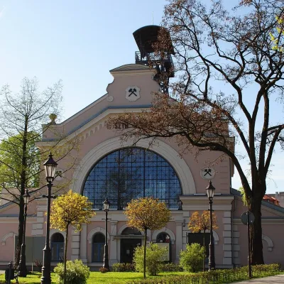 Water parks & thermal poolsWieliczka Salt Mine Health Resort: treatment undergroundWieliczka26 km from the centreThe Wieliczka Salt Mine Health Resort (Uzdrowisko Kopalnia Soli „Wieliczka”) is an unusual treatment centre: its wards and halls lie 135 m underground, on the third...
Spas and thermal pools nearby
Water parks & thermal poolsRabka-Zdrój spa: brine graduation tower, pump rooms, treatmentsRabka-Zdrój16 km from the centreRabka-Zdrój is a spa in the Raba valley between the Gorce, the Beskid Wyspowy and the Beskid Makowski, halfway from Kraków to Zakopane.Water parks & thermal poolsTermy Gorce thermal bathsNiedźwiedź17 km from the centreTermy Gorce is a small, cosy thermal complex in the village of Poręba Wielka, in the municipality of Niedźwiedź, at the foot of the Gorce Mountains.Water parks & thermal poolsWieliczka Salt Mine Health Resort: treatment undergroundWieliczka26 km from the centreThe Wieliczka Salt Mine Health Resort (Uzdrowisko Kopalnia Soli „Wieliczka”) is an unusual treatment centre: its wards and halls lie 135 m underground, on the third...Huts, shelters and springs nearby
Getting there from Ukraine
Border crossings
- Krakovets – Korczowa — road, 24/7
- Shehyni – Medyka — road, 24/7 Pedestrian crossing is not confirmed by the Ukrainian border service — check dpsu.gov.ua before the trip.
- Smilnytsia – Krościenko — road, 24/7
- Hrushiv – Budomierz — road, 24/7
- Mostyska – Przemyśl (rail) — rail, 24/7
By car
Lviv – Zakopane ≈421 km, ≈5 h 10 min without border queues. Route: M-10 Lviv – Krakovets → Krakovets – Korczowa checkpoint → A4 motorway (Rzeszów – Tarnów – Kraków) → Kraków southern bypass → S7/DK7 → DK47 ('Zakopianka') via Nowy Targ → Zakopane. The A4 Katowice – Kraków section (Balice and Mysłowice toll plazas) is tolled, but this route does not use it. In summer and at weekends the DK47 near Zakopane is often congested.
Checked 23.10.2026; border crossing hours and timetables change — check before you travel.
