Myślenice County
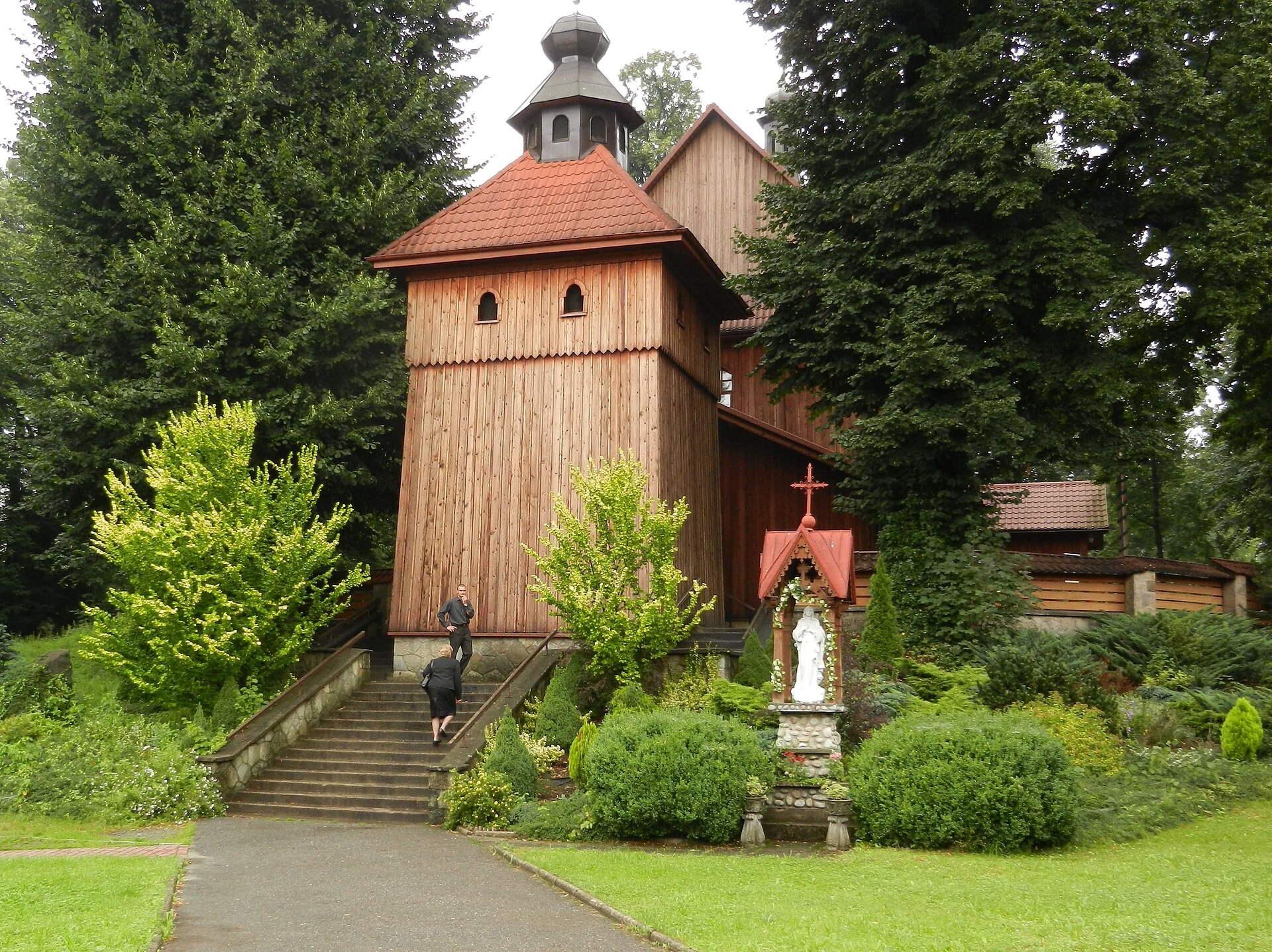
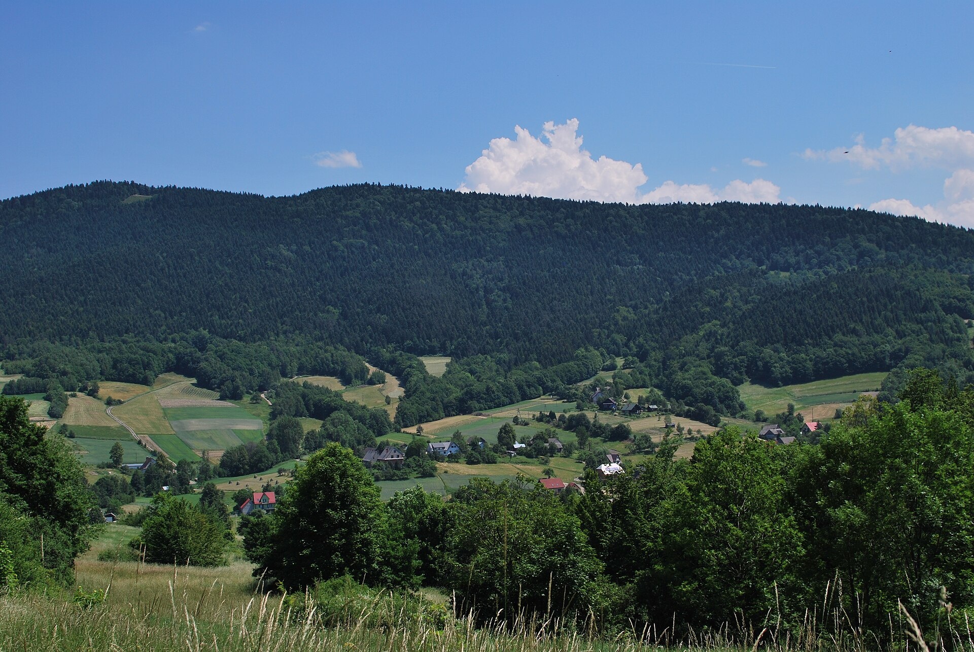
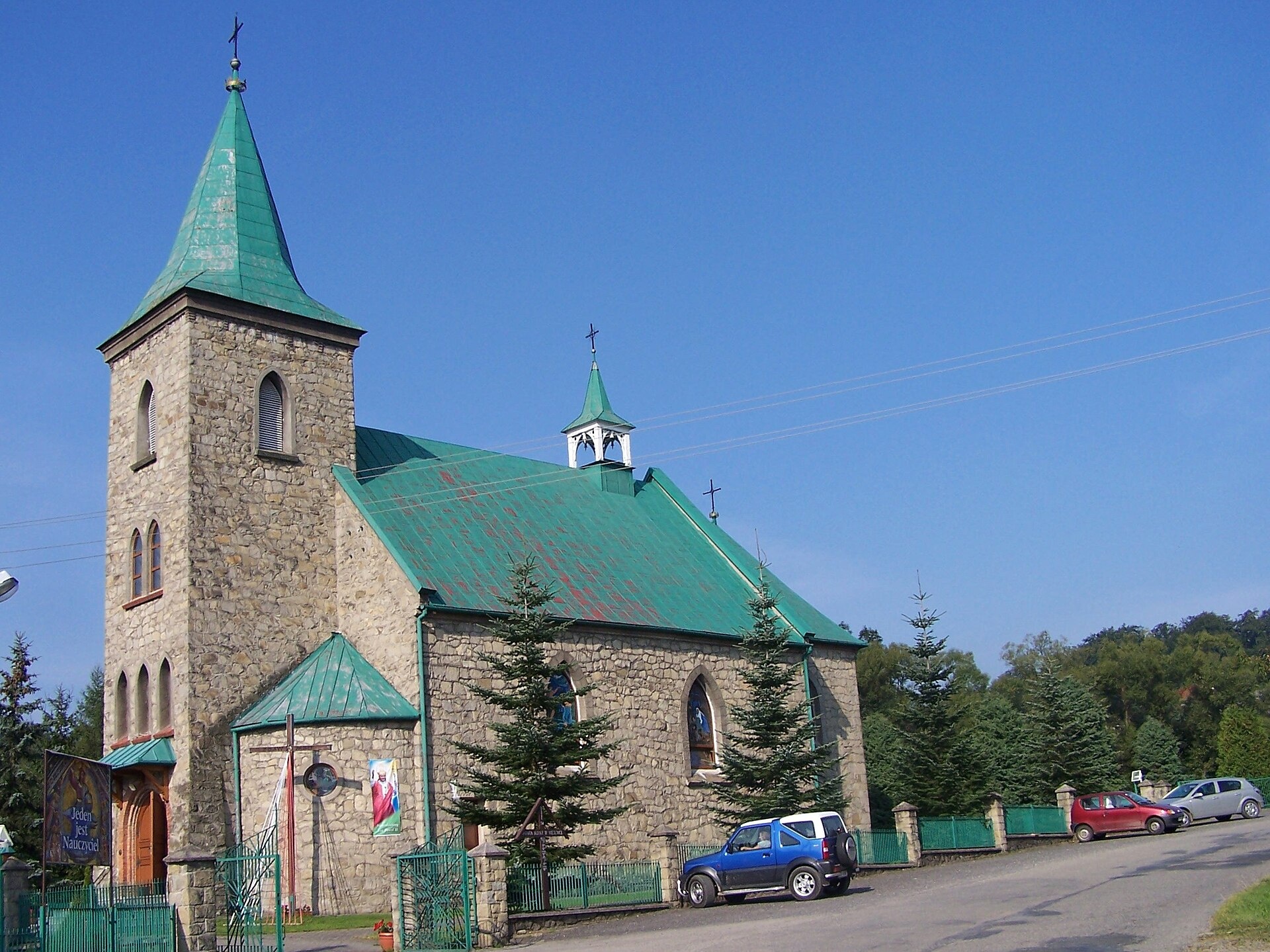
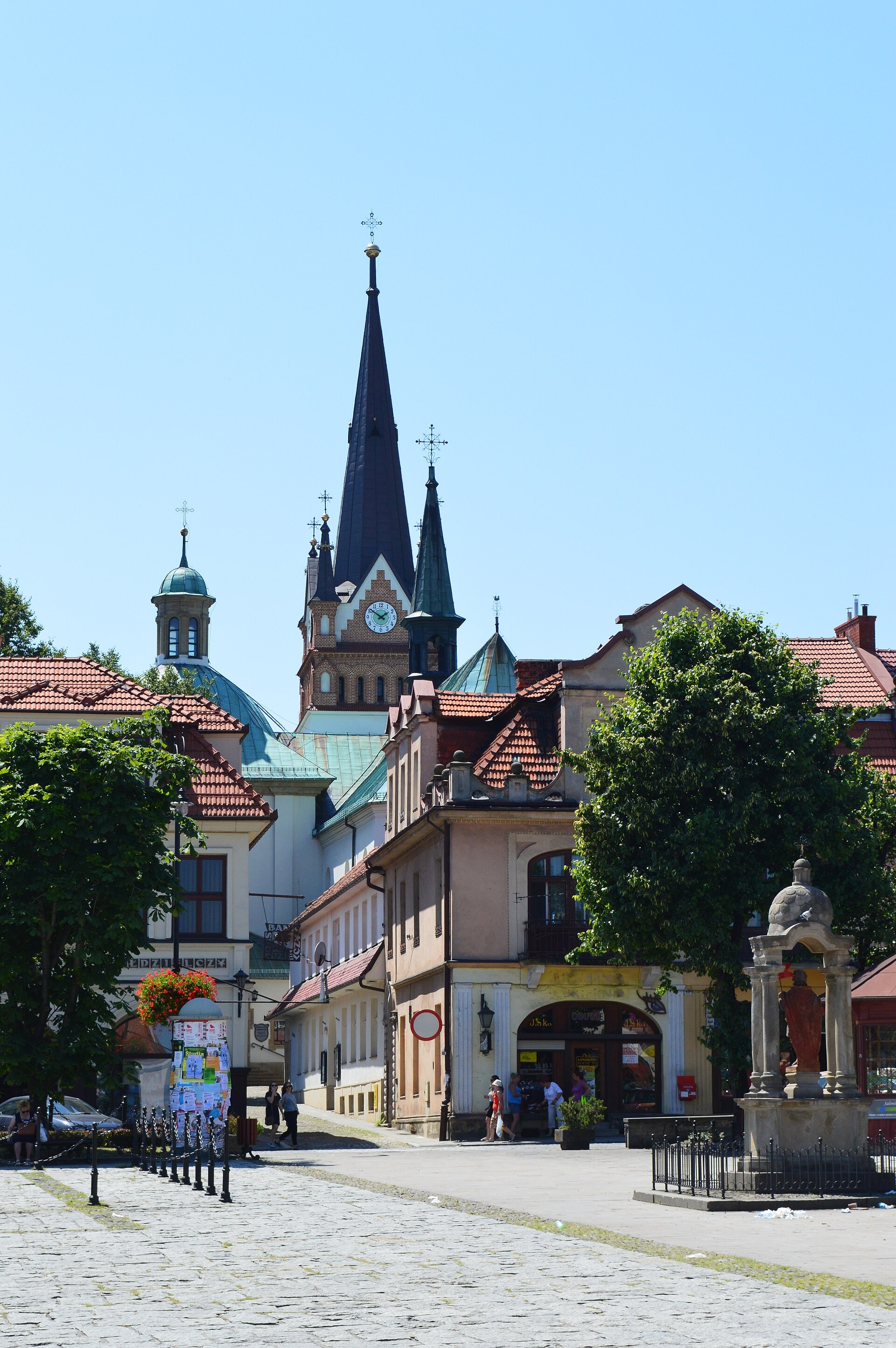
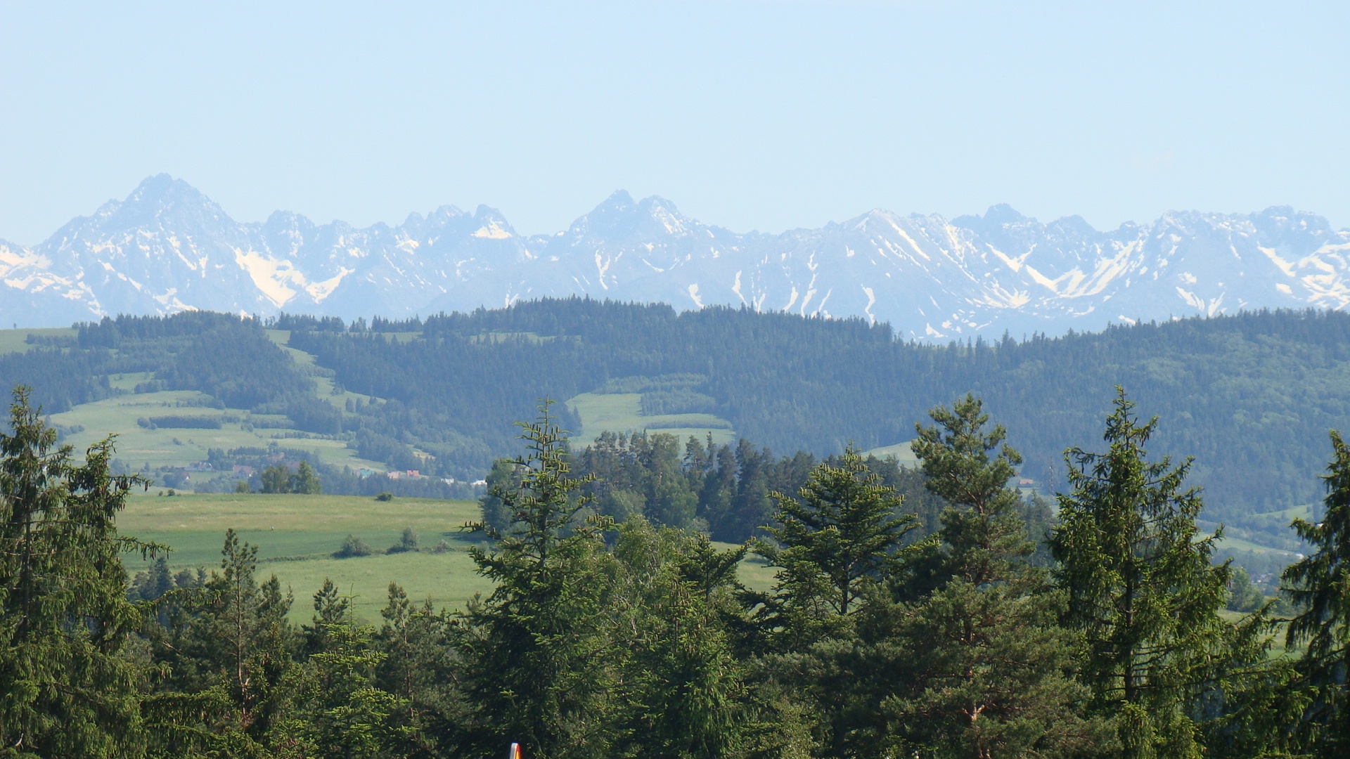
Photos: Wiśniowa (Cedro, CC BY-SA 3.0 pl); Wierzbanowa (Zygmunt Put Zetpe0202, CC BY-SA 4.0); Węglówka (Jerzy Opioła, CC BY-SA 4.0); Myślenice (Scotch Mist, CC BY-SA 4.0); Skomielna Biała (Silar, CC BY-SA 3.0)
Myślenice County is an administrative unit in Poland (Lesser Poland Voivodeship). On the site here: 33 trails, 1 peak, 1 mountain hut or shelter, 20 settlements.
Facts: Wikidata, OpenStreetMap.
Towns and villages
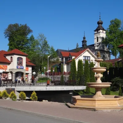 Pcim5 trails, 1 mountain hut or shelter
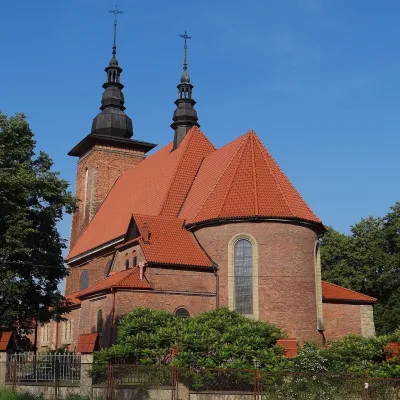 Lubień4 trails
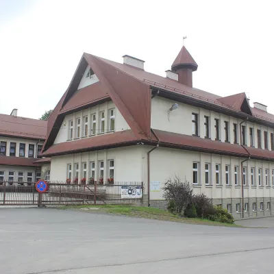 Tenczyn4 trails
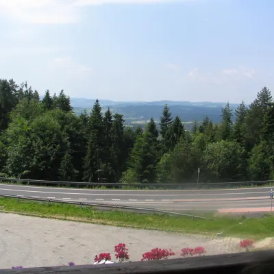 Krzeczów3 trails
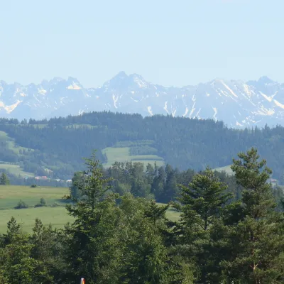 Skomielna Biała2 trails
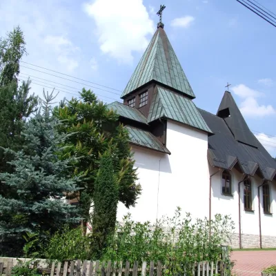 Poręba2 trails
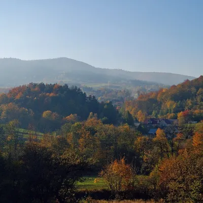 Kobielnik2 trails
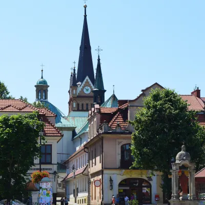 Myślenice1 trail
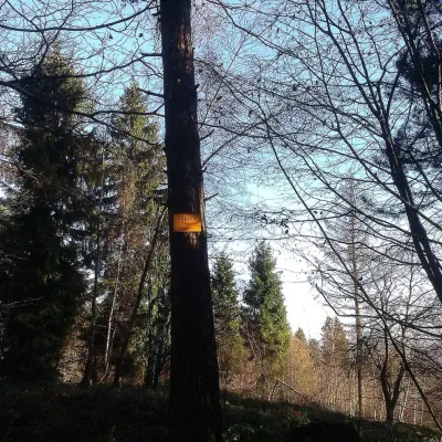 Trzebunia1 peak
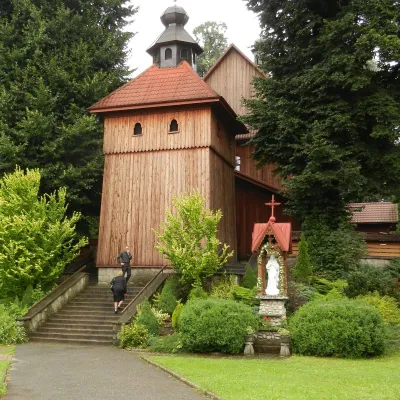 Wiśniowa1 trail
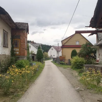 Harbutowice1 trail
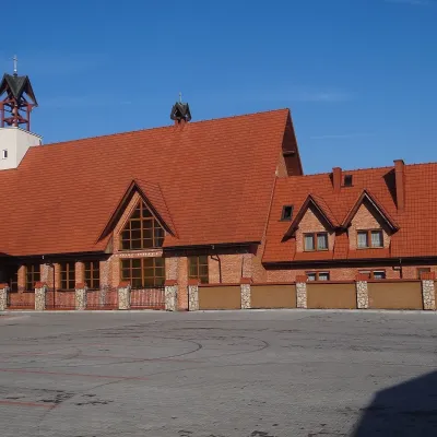 Lipnik1 trail
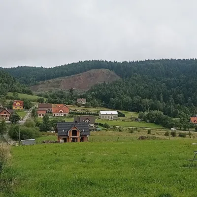 Bysina1 trail
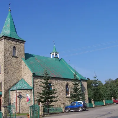 Węglówka1 trail
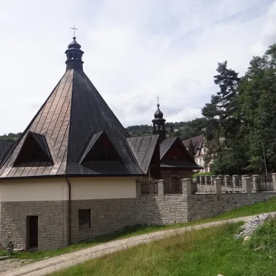 Bogdanówka1 trail
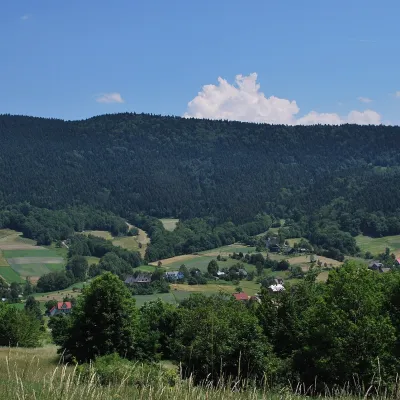 Wierzbanowa1 trail
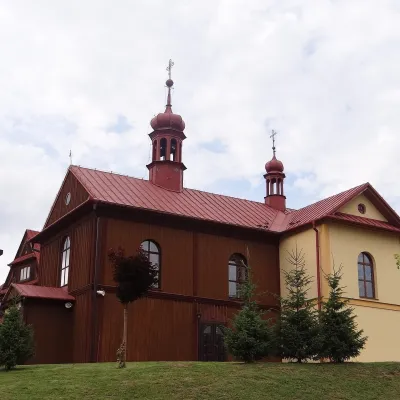 Więciórka1 trail
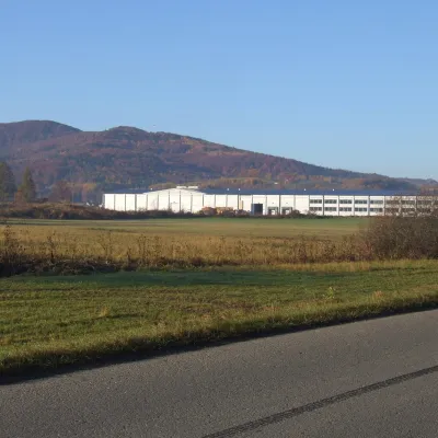 Dąbie1 trail
Getting there from Ukraine
Border crossings
- Krakovets – Korczowa — road, 24/7
- Shehyni – Medyka — road, 24/7 Pedestrian crossing is not confirmed by the Ukrainian border service — check dpsu.gov.ua before the trip.
- Smilnytsia – Krościenko — road, 24/7
- Hrushiv – Budomierz — road, 24/7
- Mostyska – Przemyśl (rail) — rail, 24/7
By car
Lviv – Zakopane ≈421 km, ≈5 h 10 min without border queues. Route: M-10 Lviv – Krakovets → Krakovets – Korczowa checkpoint → A4 motorway (Rzeszów – Tarnów – Kraków) → Kraków southern bypass → S7/DK7 → DK47 ('Zakopianka') via Nowy Targ → Zakopane. The A4 Katowice – Kraków section (Balice and Mysłowice toll plazas) is tolled, but this route does not use it. In summer and at weekends the DK47 near Zakopane is often congested.
Checked 23.10.2026; border crossing hours and timetables change — check before you travel.
