Nowy Sącz
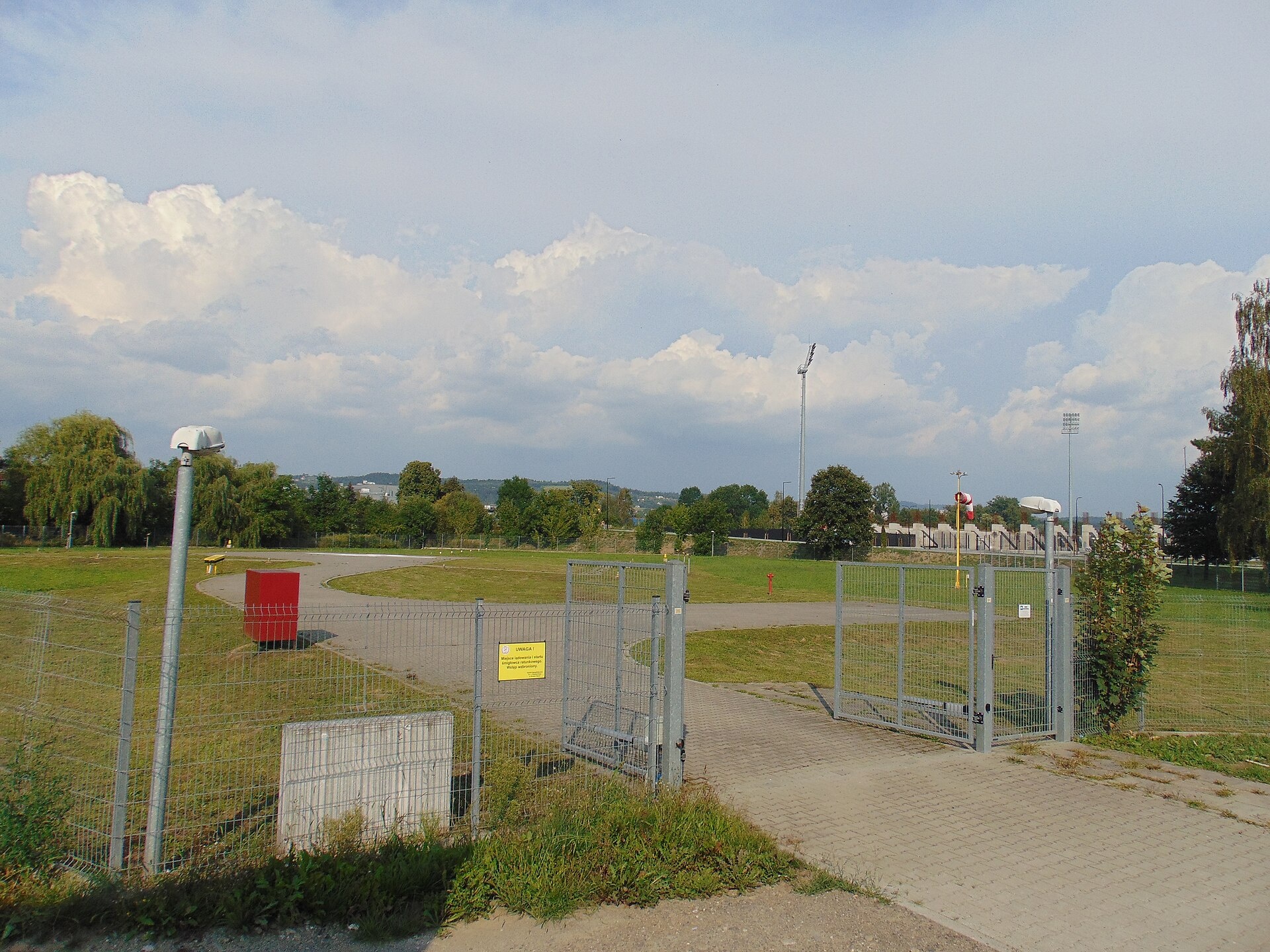
Photos: Jakub Dominik Belski, CC BY 3.0 (Wikimedia Commons); Kroton, CC BY-SA 3.0 pl (Wikimedia Commons); Antekbojar, CC BY-SA 4.0 (Wikimedia Commons); Igor123121, CC BY 4.0 (Wikimedia Commons); Zalasem1, CC BY-SA 4.0 (Wikimedia Commons); Scotch Mist, CC BY-SA 4.0 (Wikimedia Commons)
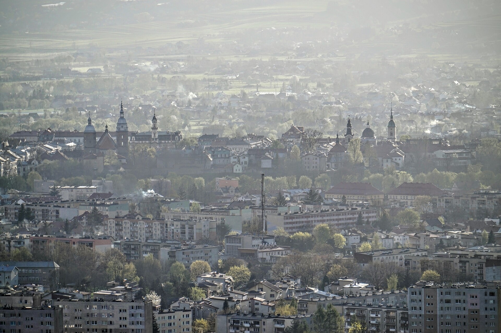
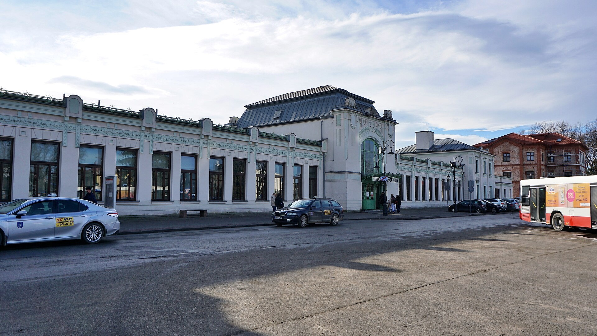
Nowy Sącz is a city county in the Lesser Poland Voivodeship of southern Poland, located in the Sącz region between Gorlice and Limanowa, not far from the Slovakian border. The city lies within the Western Carpathians, in a valley formed by the confluence of the Dunajec and Kamienica rivers. Its highest point is Majdan Hill (387 m above sea level), and the lowest is Wielopole (272 m). Nowy Sącz is an important tourist and transport hub in the region.
The city was founded on 8 November 1292 by King Wenceslaus II on the site of the former settlement of Kamienica. Thanks to numerous privileges and its location on the trade route to Hungary, Nowy Sącz developed rapidly. In the 14th century, a castle and defensive walls were built. Over the centuries, the city was part of Poland, the Habsburg Empire (Galicia), and, from the late 18th century, again Poland.
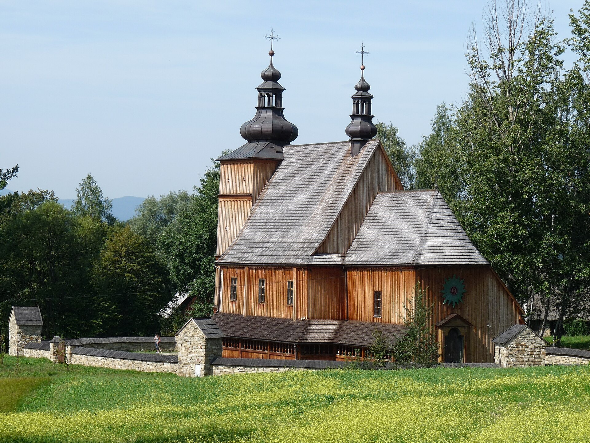
Nowy Sącz is known as the historic centre of the Sącz Land, as well as for its picturesque setting among the Western Carpathians. The city preserves architectural monuments, is home to the Sądecki Ethnographic Park (open-air museum), and is close to popular Beskid resorts. It has a well-developed transport infrastructure and serves as a convenient base for mountain excursions.
Visitors can explore themed trails such as "Nowy Sącz – Makowica" or "Ptaszkowa, station – Nowy Sącz, station". For ethnography enthusiasts, the Sądecki Ethnographic Park is a must-see. In nearby Stary Sącz, the market square and the Poor Clares Monastery are notable, and Personall Kraft craft brewery offers local beer. Tourists can also stay at the "Dom Turysty PTTK" hut.
Getting there from Ukraine
Lviv – Nowy Sącz ≈335 km, ≈4 h 25 min without queues: M-10 to Krakovets → Krakovets – Korczowa → toll-free A4 via Rzeszów and Tarnów to Brzesko (≈198 km) → DK75 to Nowy Sącz (≈47 km). ≈257 km, ≈3 h from the border. Via Shehyni – Medyka (Przemyśl, DK28, DK77 to the A4) ≈348 km, ≈4 h 50 min.
Sources: Wikipedia, Wikidata, OpenStreetMap, Karpaty.rocks data. More on Wikipedia
What's nearby
Trails nearby
All trails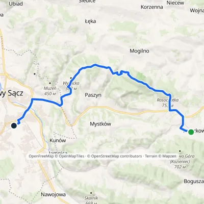 ModerateTwo-dayMarkedPtaszkowa station Nowy Sącz stationElevation profile294–753 m20.8 kmascent 488 m≈ 6 h walking1.9 km from the centre
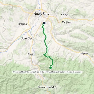 ModerateOne-dayMarkedNowy Sącz MakowicaElevation profile304–938 m17.1 kmascent 112 m≈ 4.5 h walking2.1 km from the centre
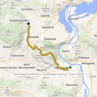 EasyOne-dayMarkedMarcinkowice RojówkaElevation profile272–605 m8.6 kmascent 333 m≈ 3 h walking5.5 km from the centre
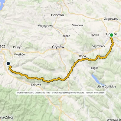 HardMulti-dayMarkedGorlice JamnicaElevation profile282–888 m48.1 kmascent 1 748 m5.7 km from the centre
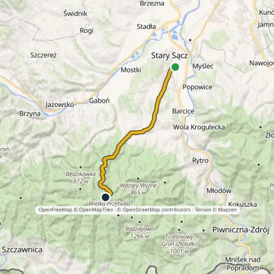 ModerateOne-dayMarkedStary Sącz PrzehybaElevation profile308–1 150 m14.7 kmascent 847 m≈ 5.5 h walking8.1 km from the centre
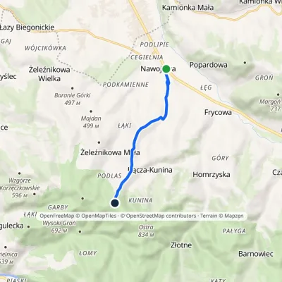 EasyOne-dayMarkedNawojowa Wilcze DołyElevation profile362–786 m5.4 kmascent 424 m≈ 2 h walking8.2 km from the centre
Peaks nearby
All peaks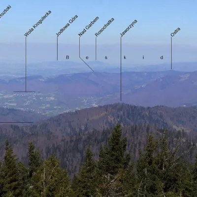 PeakKozie Żebro (Grybów Mountains)Boguszaaltitude 888 m15 km from the centreKozie Żebro (also Kocie Żebro, "Goat's Rib") is a wooded 888 m summit in the western Low Beskids, in the Grybów Mountains.
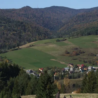 PeakWielka PrzehybaSzlachtowaaltitude 1 191 m20 km from the centreWielka Przehyba (also Wielka Prehyba, Wierch Przechyba, Złamany Wierch, Złomnisty Wierch) is a wooded 1,191 m summit in the Sądecki Beskids, on the main ridge of the...
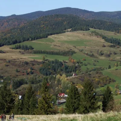 PeakZłomisty WierchJaworkialtitude 1 224 m20 km from the centreZłomisty Wierch is a pair of wooded tops on the main ridge of the Radziejowa Range in the Sądecki Beskids, about 700 m apart.
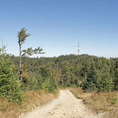 PeakPrzehybaSzlachtowaaltitude 1 175 m20 km from the centrePrzehyba (also Prehyba or Przechyba) is a summit about 1,175 m high in the western part of the Radziejowa range of the Sądecki Beskids in southern Poland.
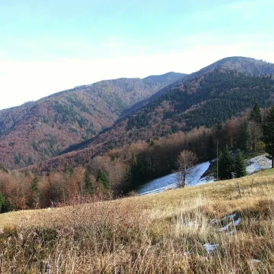 PeakSkałka (Sądecki Beskids)Szlachtowaaltitude 1 163 m20 km from the centreSkałka is a 1,163 m summit in the Sądecki Beskids in southern Poland. Its massif rises on the main ridge of the Radziejowa range between Rokita (898 m) and Przehyba (1...
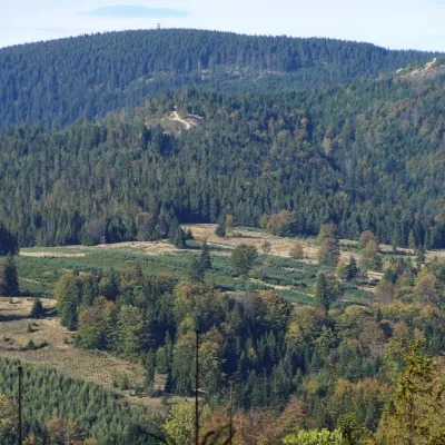 PeakRadziejowaJaworkialtitude 1 266 m21 km from the centreRadziejowa is the highest summit of the Sącz Beskids (Beskid Sądecki), 1,266 m high, and one of the mountains of the Crown of Polish Mountains.
What to visit
All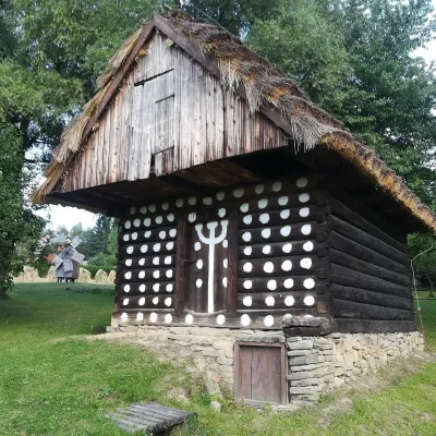 MuseumSądecki Ethnographic Park (Nowy Sącz open-air museum)Nowy Sącz3.4 km from the centreThe Sądecki Ethnographic Park (Sądecki Park Etnograficzny) in Nowy Sącz is the largest open-air museum in the Małopolska region.
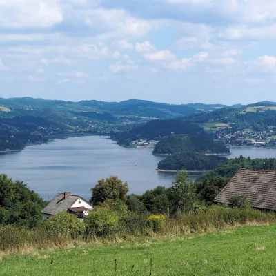 LakeLake Rożnów (Jezioro Rożnowskie)Tabaszowa12 km from the centreLake Rożnów (Jezioro Rożnowskie) is a reservoir on the Dunajec in Lesser Poland, about 12 km north of Nowy Sącz.
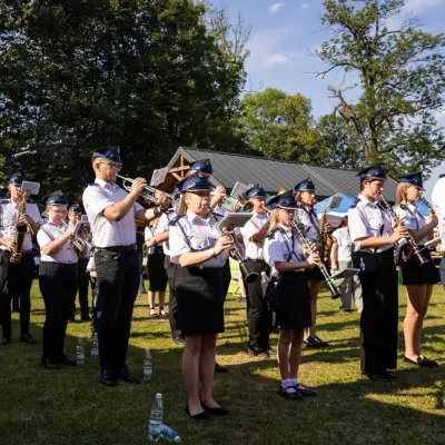 Markets & fairsFasolowe Żniwa in Rożnów: the Piękny Jaś bean harvest festivalRożnów16 km from the centreThe Dunajec valley around Lake Rożnów is famous for the large white “Piękny Jaś” (Beautiful Johnny) bean. “Fasola Piękny Jaś z Doliny Dunajca” holds EU Protected...
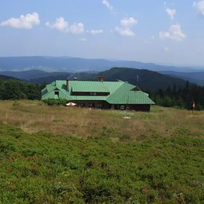 Mountain meadowHala ŁabowskaUhryńaltitude 1 061 m19 km from the centreHala Łabowska is a large glade in the Sącz Beskids (Beskid Sądecki), in the middle part of the Jaworzyna Krynicka range, at about 1,060 m.
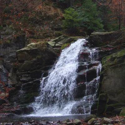 WaterfallWodospad Wielki in ObidzaObidza20 km from the centreWodospad Wielki ("Great Waterfall") is a natural cascade 5 m high on the Majdan stream, also called Majdański Potok, in the village of Obidza in the Łącko commune of...
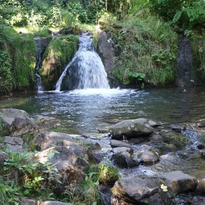 WaterfallŁomniczanka WaterfallŁomnica-Zdrój20 km from the centreŁomniczanka Waterfall (Wodospad na Łomniczance) is a natural waterfall on the stream of the same name in the village of Łomnica-Zdrój, in the commune of Piwniczna...
Craft nearby
All craft places Craft beer & breweriesPersonall Kraft Brewpub, Stary SączStary Sącz6.8 km from the centrePersonall Kraft is a family-run brewpub in Stary Sącz where the beer is brewed right in the dining hall: the big brewing vessels are visible from the tables.
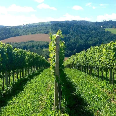 Wine & tastingsChodorowa vineyard near Grybów: tour and wine tastingChodorowa17 km from the centreThe Chodorowa vineyard (Winnica Chodorowa) lies in the hills of the Rożnów Foothills (Pogórze Rożnowskie), a few kilometres from the small town of Grybów in the...
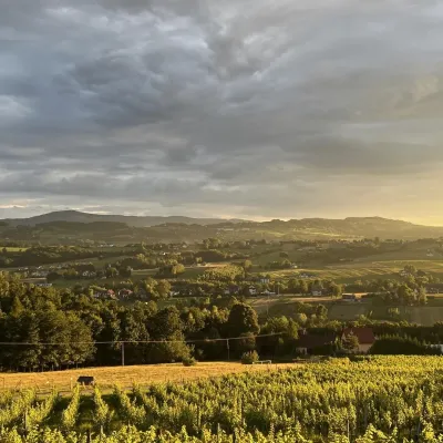 Wine & tastingsWinnica Nowizny, Połom Mały: wine from an 1891 cellarPorąbka Iwkowska20 km from the centreWinnica Nowizny is a family farm in the village of Połom Mały, Iwkowa municipality, in the Rożnów Foothills of Lesser Poland, north of Nowy Sącz and Lake Rożnów.
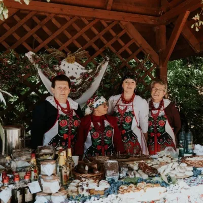 Markets & fairsFruit Harvest Festival in Łącko: village stands, fruit and folkloreŁącko20 km from the centreŁącko, in the Dunajec valley between Stary Sącz and the Pieniny, is one of Poland's best-known fruit-growing areas: the slopes around are covered with apple, pear and...
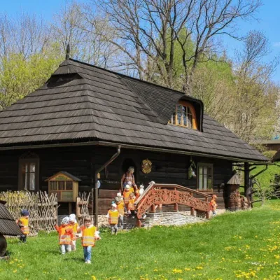 Honey & meaderiesSądecki Bartnik Beekeeping Farm, StróżeStróże20 km from the centreSądecki Bartnik in the village of Stróże near Grybów is one of Poland's best-known beekeeping farms. The family business was founded in 1973 by Anna and Janusz...
 Markets & fairsBobbin Lace Festival in Bobowa: lace fair and workshopsBobowa21 km from the centreBobowa — one of the oldest settlements in the Biała river valley between Tarnów and Nowy Sącz, about 25 km north-west of Gorlice — is considered Poland's capital of...
Spas and thermal pools nearby
Huts, shelters and springs nearby
Getting there from Ukraine
Border crossings
- Krakovets – Korczowa — road, 24/7
- Shehyni – Medyka — road, 24/7 Pedestrian crossing is not confirmed by the Ukrainian border service — check dpsu.gov.ua before the trip.
- Smilnytsia – Krościenko — road, 24/7
- Hrushiv – Budomierz — road, 24/7
- Mostyska – Przemyśl (rail) — rail, 24/7
By car
Lviv – Nowy Sącz ≈335 km, ≈4 h 25 min without queues: M-10 to Krakovets → Krakovets – Korczowa → toll-free A4 via Rzeszów and Tarnów to Brzesko (≈198 km) → DK75 to Nowy Sącz (≈47 km). ≈257 km, ≈3 h from the border. Via Shehyni – Medyka (Przemyśl, DK28, DK77 to the A4) ≈348 km, ≈4 h 50 min.
Checked 23.10.2026; border crossing hours and timetables change — check before you travel.
