Radziejowa
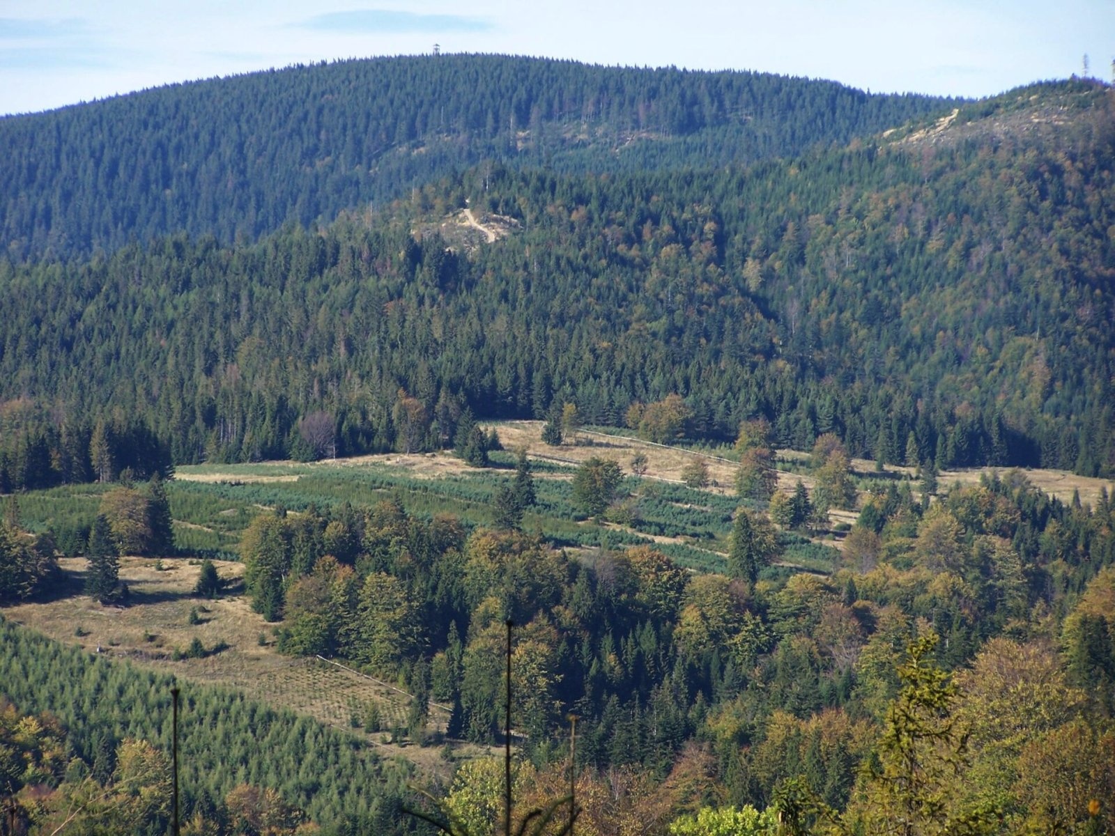
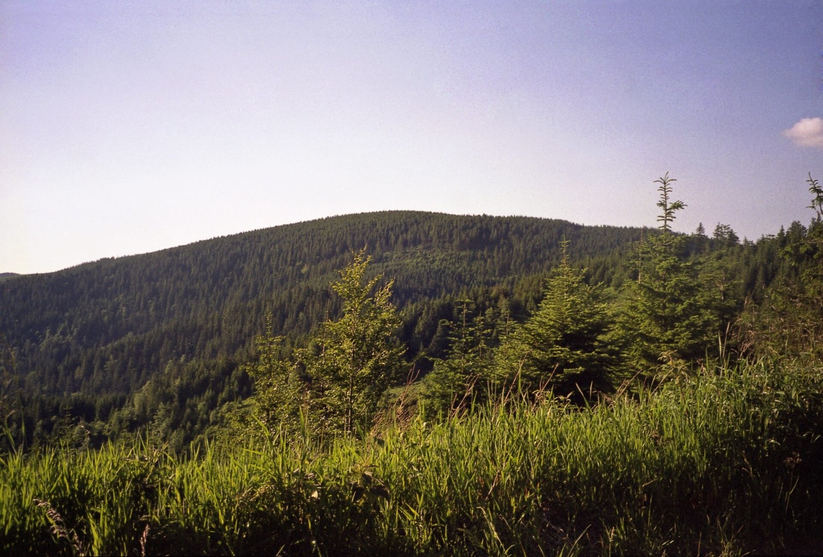
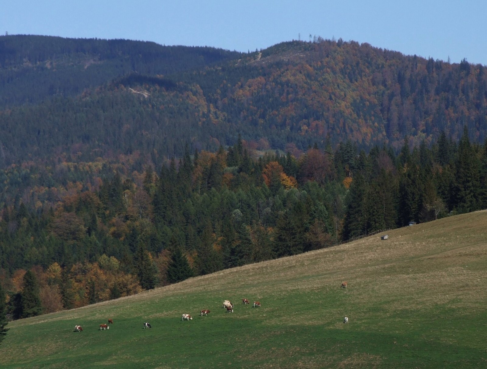
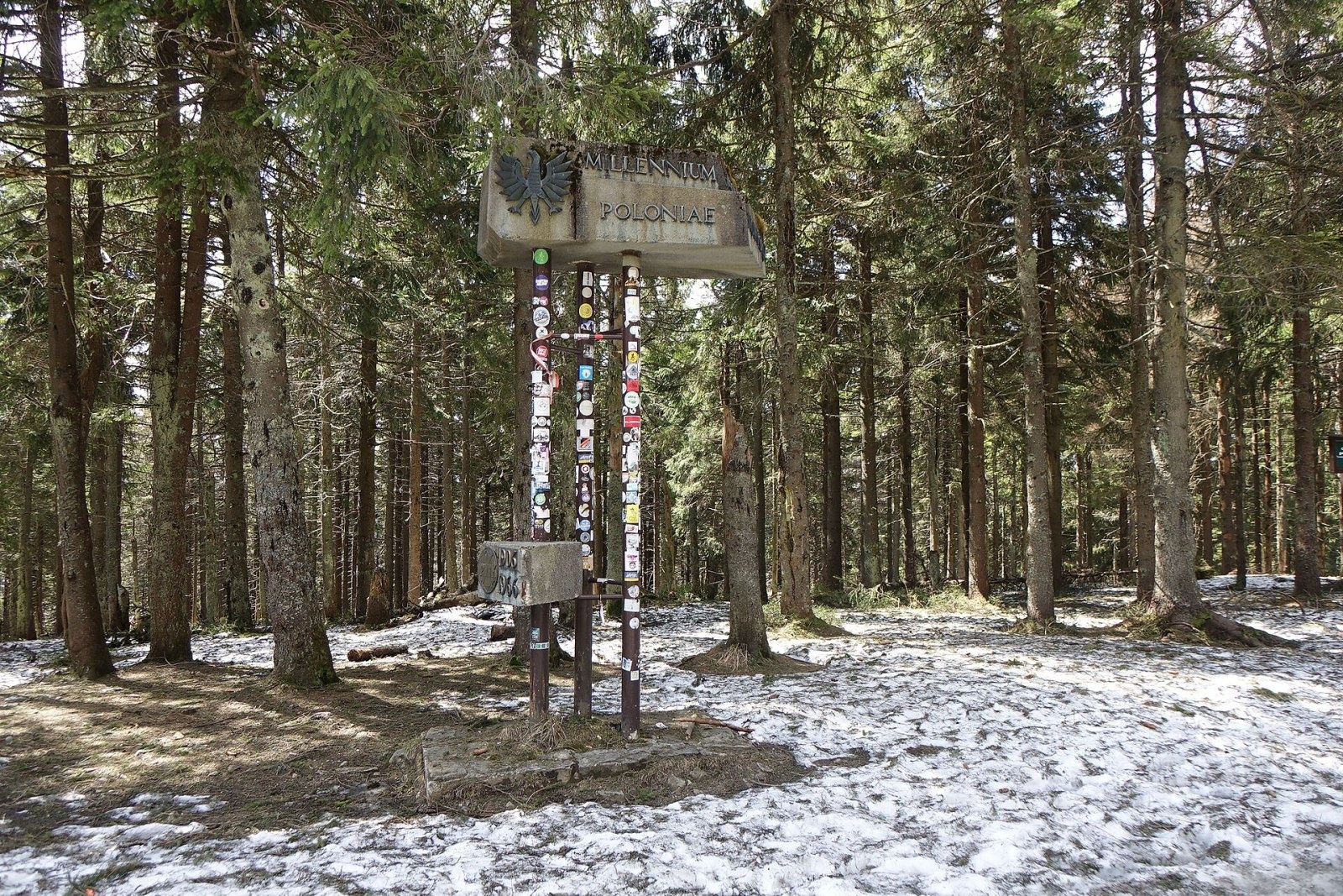
Radziejowa is the highest summit of the Sącz Beskids (Beskid Sądecki), 1,266 m high, and one of the mountains of the Crown of Polish Mountains. It lies on the main ridge of the Radziejowa range between Wielki Rogacz, separated by Żłobki Pass, and Złomisty Wierch Południowy beyond Długa Pass; before Długa Pass there is also the minor top of Mała Radziejowa (1,207 m). At the summit the main ridge turns south, a side ridge runs north-east to Jaworzyna Wielka, and a short ridge of Magorzyca branches north. The boundary between Jaworki (Nowy Targ County) and Roztoka Ryterska (Nowy Sącz County) follows the main ridge. The name probably comes from a person with the surname or nickname Radziej.
The mountain is built of Magura-series sandstones and shales; broad zones of colluvium — clay and rock debris — cover its western, southern and north-eastern slopes. Both the summit and the slopes are almost entirely forested. The Czarna Woda, Mokry Potok, Mała Roztoka, Potok pod Dudłą and Potok Bański streams rise here.
How to get there / routes
The red Main Beskid Trail (GSB) crosses the summit, here sharing its route with the International Mountain Friendship Trail Eisenach–Budapest and the E3 European path. According to Polish Wikipedia:
- from Przehyba — about 1 h 30 min (1 h 15 min back);
- from Wielki Rogacz — about 35 min;
- from Rytro via Wielki Rogacz — about 4 h 10 min (3 h 20 min down).
The red trail can also be followed along the ridge from Krościenko nad Dunajcem via Złomisty Wierch or from Jaworki via Wielki Rogacz; a blue trail via Złomisty Wierch comes from Szczawnica and from Rytro.
What you can see from the summit
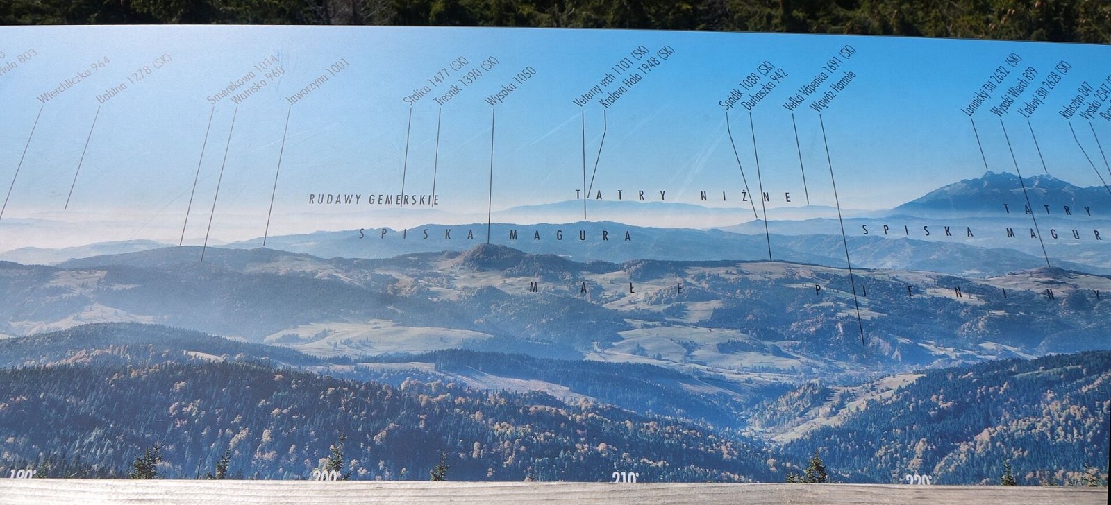
The forest blocks the view, so an observation tower stands on the top. The first wooden tower, about 20 m high, opened in 2006; in 2010 it was badly damaged, probably by lightning, and on 15 November 2017 it was closed because the structure had rotted. A new, safer tower was built in 2019 and opened to visitors in 2020. It offers views in every direction: in good conditions the Orava Beskids, the Pieniny, Spišská Magura, the High and Low Tatras, the Stolické, Volovské and Levočské hills, Čergov and the Ľubovňa Highlands.
Nature and history
On the northern slope lies the Baniska forest reserve with the Bania cave and the small landslide pond Młaka; nearby is a spot called Ołtarz with a small rock outcrop. A great rarity is the only Polish site of the bird's-eye primrose, on a small clearing at 800 m; it was discovered in 1959 and confirmed many times since. On the southern slope near a junction of paths there is a strong seasonal spring known locally as Smocze Gardło (Dragon's Throat). The summit lies in the Poprad Landscape Park.
A wooden triangulation tower once stood on the summit. During the occupation the Germans installed surveying equipment on it, and its crew of a few soldiers lived in a forester's lodge on the Młaki clearing; in autumn 1943 they were driven off and the equipment destroyed by partisans of the Szczawnica Home Army post under Lieutenant Krystyn Więckowski "Zawisza". Besides the tower, the summit holds a monument to Poland's millennium and a concrete obelisk.
Safety, season and rules
Radziejowa is accessible all year, but the ridge is long and wooded: deep snow lies here in winter, and in fog it is easy to take the wrong turn at junctions. Stay on marked paths in the Baniska reserve. The observation tower is exposed — do not climb it during a thunderstorm. In an emergency call GOPR mountain rescue on 985 or +48 601 100 300, or 112.
Interesting facts
- Polish Wikipedia gives the precise height as 1,266.5 m; older maps showed 1,262 m.
- Together with the new tower, the "Rogasiowy Szlak" nature trail was laid out in the Roztoka Mała valley.
Photos: Jerzy Opioła, CC BY 2.5; The Last V8 at Polish Wikipedia, CC BY-SA 2.0; Jerzy Opioła, CC BY-SA 4.0; Jerzy Opioła, CC BY-SA 4.0; Jerzy Opioła, CC BY-SA 4.0; Photos / Zdjęcia: Jerzy Opioła Captions / Napisy: ŁukaszWu, CC BY 3.0; Jerzy Opioła, CC BY-SA 4.0 — Wikimedia Commons.
Getting there from Ukraine
Border crossings
- Krakovets – Korczowa — road, 24/7
- Shehyni – Medyka — road, 24/7 Pedestrian crossing is not confirmed by the Ukrainian border service — check dpsu.gov.ua before the trip.
- Smilnytsia – Krościenko — road, 24/7
- Hrushiv – Budomierz — road, 24/7
- Mostyska – Przemyśl (rail) — rail, 24/7
By car
Lviv – Szczawnica ≈384 km, ≈5 h 25 min without queues: M-10 → Krakovets – Korczowa → A4 to Brzesko (≈198 km) → DK75 to Nowy Sącz → DW969 via Stary Sącz and Łącko to Krościenko nad Dunajcem → Szczawnica. ≈306 km, ≈4 h from the border.
Checked 23.10.2026; border crossing hours and timetables change — check before you travel.
Location on the map
Comments
Trails nearby
All trails HardMulti-dayMarkedMain Trail of BeskidyElevation profile309–1 723 m499.9 kmascent 19 519 munder 1 km from Radziejowa
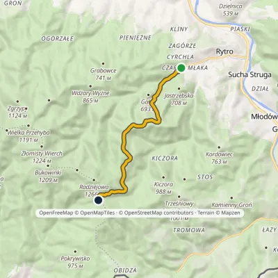 ModerateOne-dayMarkedRytro Żłobki PassElevation profile439–1 116 m7.8 kmascent 717 m≈ 3.5 h walkingunder 1 km from Radziejowa
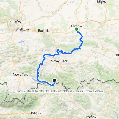 HardMulti-dayMarkedTarnów Wielki RogaczElevation profile206–1 211 m191.5 kmascent 6 941 m1.3 km from Radziejowa
Nearby attractions
 PeakZłomisty WierchJaworkialtitude 1 224 m2.3 km from RadziejowaZłomisty Wierch is a pair of wooded tops on the main ridge of the Radziejowa Range in the Sądecki Beskids, about 700 m apart.
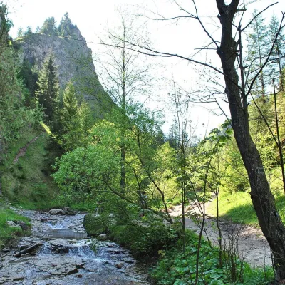 NatureHomole GorgeJaworki6.6 km from RadziejowaThe Homole Gorge (Wąwóz Homole) is one of the most beautiful rocky gorges in Poland. It lies in the Little Pieniny, in the Lemko village of Jaworki near Szczawnica.
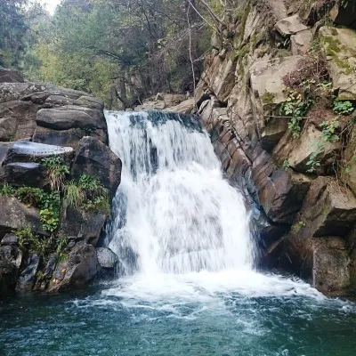 WaterfallZaskalnik FallsSzczawnica7.4 km from RadziejowaZaskalnik is a small but very picturesque waterfall on the Sopotnicki stream (Sopotnicki Potok) near the spa town of Szczawnica.
Craft nearby
All craft places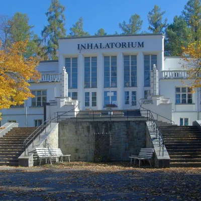 Water parks & thermal poolsSzczawnica spa: pump room, waters and the InhalatoriumSzczawnica8.7 km from RadziejowaThe Szczawnica spa (Uzdrowisko Szczawnica) is all about water and air: in the valley of the Grajcarek stream, between the Pieniny and the Beskid Sądecki at 430–500 m,...
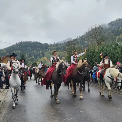 Markets & fairsAutumn Redyk in Szczawnica: sheep drive, oscypek and shepherdsSzczawnica11 km from RadziejowaRedyk is an old Carpathian shepherding custom: in spring the flocks are driven up to the mountain pastures (hale), and in autumn, after the cheese-making season, they...
 Craft beer & breweriesPersonall Kraft Brewpub, Stary SączStary Sącz14 km from RadziejowaPersonall Kraft is a family-run brewpub in Stary Sącz where the beer is brewed right in the dining hall: the big brewing vessels are visible from the tables.
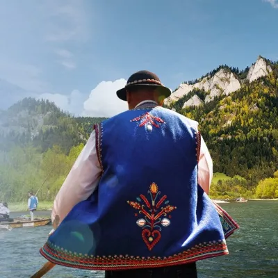 Ethno tours & guidesGoral raftsmen of Červený Kláštor: wooden-raft trip on the DunajecČervený Kláštor15 km from RadziejowaBetween Červený Kláštor and Lesnica the Dunajec cuts a deep, winding gorge through the limestone Pieniny, and here the river becomes the border between Slovakia and...
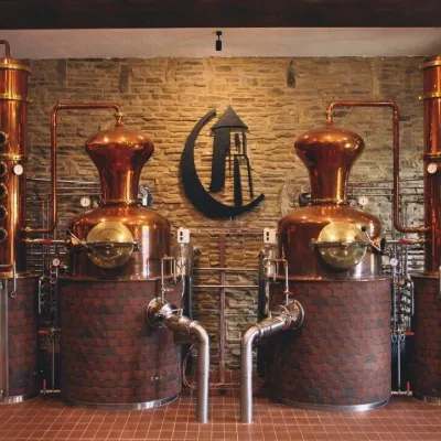 Craft producersCastle Distillery below Ľubovňa Castle: fruit spirits and tastingsStará Ľubovňa16 km from RadziejowaStará Ľubovňa is a town in northern Spiš, overlooked by Ľubovňa Castle. For more than three and a half centuries Ľubovňa was one of the Spiš towns pledged to the...
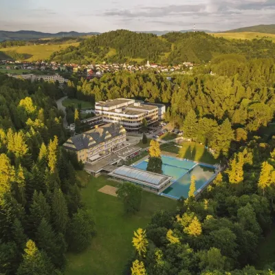 Water parks & thermal poolsVyšné Ružbachy Spa: Izabela Mountain Pools and Indoor Thermal PoolVyšné Ružbachy16 km from RadziejowaVyšné Ružbachy is one of Slovakia’s oldest spas. It lies on the south-eastern slope of the Spišská Magura at about 617 m, surrounded by coniferous forest that merges...
