Shepit
Vyzhnytsia district · Chernivtsi region
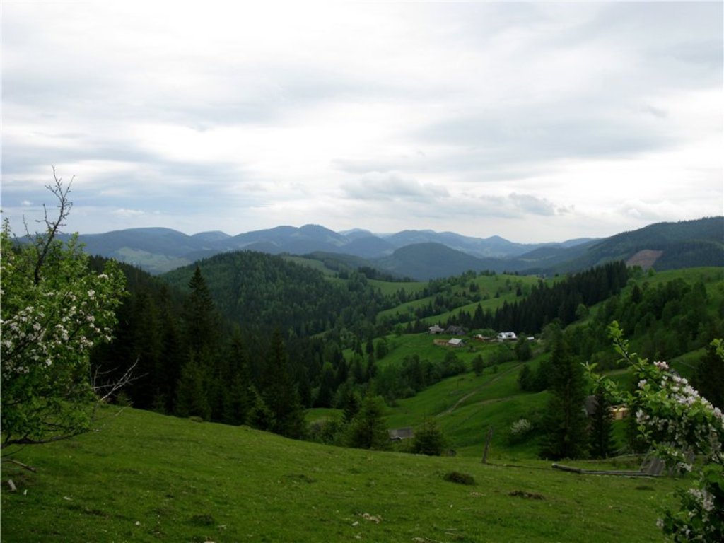
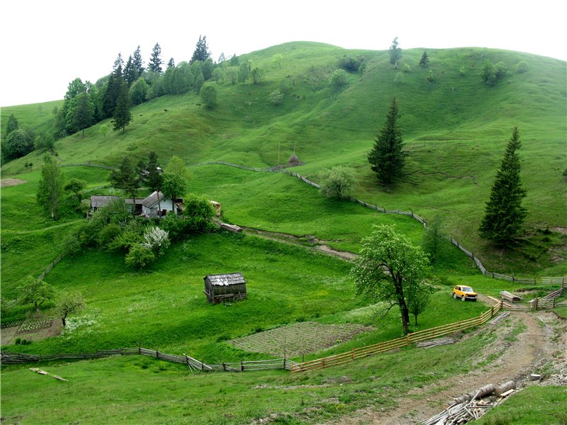
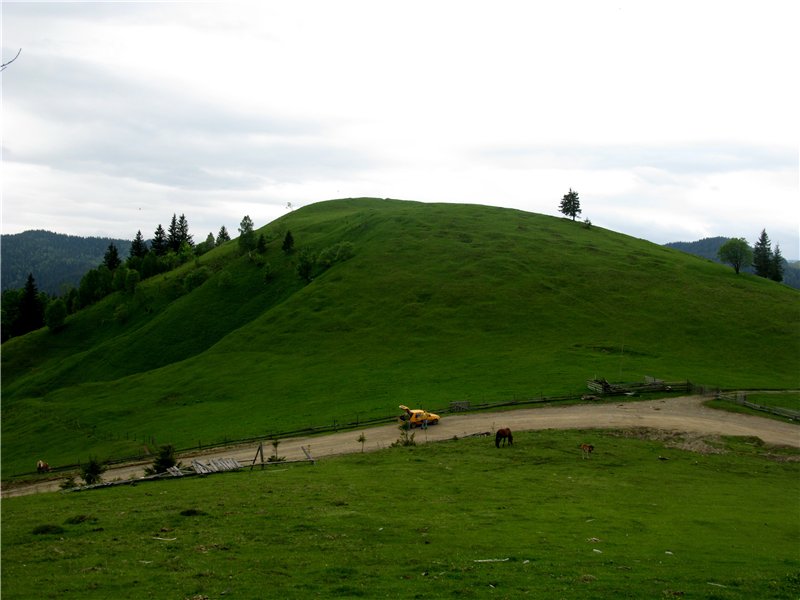
Shepit is a village in Ukraine, in the Chernivtsi region, Putyla district. The distance to the district center is about 32 km and is reached by the T 2601 highway. Not far from the village there is a checkpoint on the border with Romania, Shepit-Izvorele-Sucevei.
The small border village of Shepit on the shores of Suceava was founded on March 15, 1490. Until 1946, the village was called Shepit-Cameral. The village of Shepit was first mentioned in written sources in the late 15th century.
A narrow dirt road from Selyatyn to Shepot runs parallel to the Suceava River. The road is separated from the river by barbed wire: Romania is on the opposite bank of the river. On the right side of the road are mountains: the Pohar ridge with the highest peak of the same name, 1268 meters high.
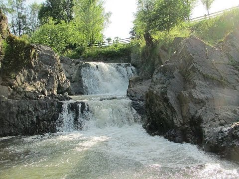
The village is home to a geological reserve, the Suceava Hook waterfall. The tourist route to the Tomnatyk mountain, to the Chyvchyn and Hryniavsky mountains starts from here. To the southwest of the village are the botanical natural monuments Arnika and Bukovynka. In the village, the Kobylara River and the Horbanevskyi Stream flow into Suceava. Before reaching the center of the village, to the left of the road, stop at an interesting natural monument - the Suceava Hook waterfall. The waterfall is located on the Suceava River and looks like a cascade with three ledges with a total height of five meters.
The Church of St. Elijah the Prophet in the village of Shepit, Putyla district, was built in 1898 in the Art Nouveau style and is located on a hill in the northern part of the village. This church was built on the occasion of the 50th anniversary of the reign of Emperor Franz Joseph on the site of the old church. It is an architectural monument of national significance in the Chernivtsi region, which belongs to the UOC. In 1950, the rector was Fr. Petro Tymofiychuk (1898, Vovchkivtsi village, Sniatyn district, Ivano-Frankivsk region - 1986), ordained in 1950 at St. Nicholas Cathedral in Chernivtsi.
A visit to this church is well worth combining with other masterpieces of wooden architecture, namely the Church of St. Nicholas in Putyla and the Church of the Nativity of the Blessed Virgin Mary in Selyatyn. Keep in mind that Shepit is located almost on the state border, so don't forget your documents when you go here.
The Church of St. Elijah in Shepot is a successful combination of the traditional architecture of a single-domed church, characteristic of Bukovyna, and the Art Nouveau architecture that prevailed in the late nineteenth century.
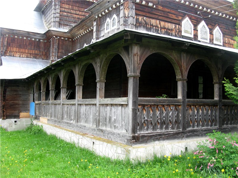
The dominant feature of the church is a massive dome over the center of the elongated nave in the form of a flattened onion. The steep roofs over the narthex and the altar end in ridge-pulled upward, giving the building additional curvilinear forms. The walls of the altar and nave are divided into two tiers by a canopy on curly brackets, and the Babinets is surrounded by an open arched gallery above the chancel. The church is further decorated with small lancet windows with colored glass.
In the middle of the church is the imperial throne, a unique work of art that was not taken to Vienna in time for the collapse of the Austrian Empire in 1918 and left in Shepot.
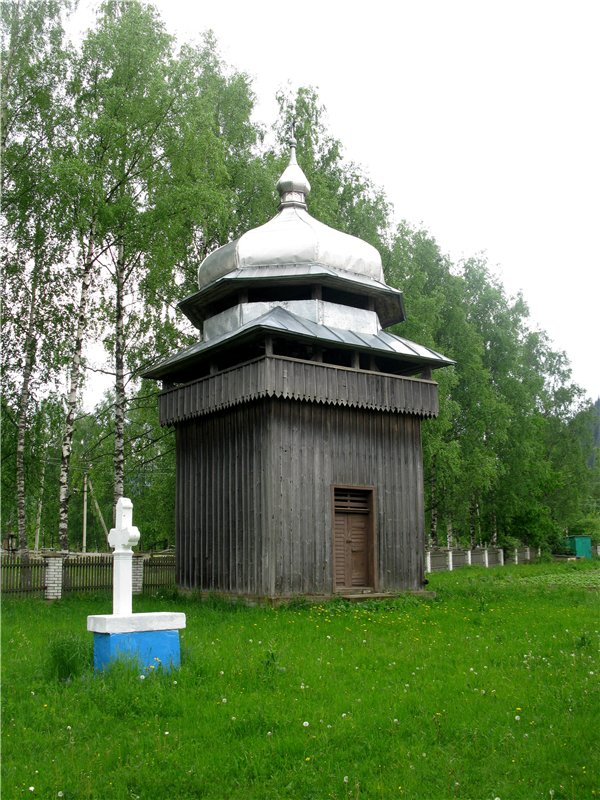
The ensemble of St. Elias Church also includes a two-tiered frame bell tower with an onion-shaped top that repeats the shape of the church dome, and a wooden fence with an entrance gate covered with a shingle roof.
Before we continue our journey, we need to make a few warnings. First, the border zone begins in Selyatyn, so you need to have your passport with you. Secondly, to continue traveling through the most remote, sparsely populated region of the Bukovinian Carpathians, you need an all-wheel drive SUV. The fact that we managed to drive my Dacia there is rather a miracle and an exception. This is an example not worthy of imitation. Thirdly, Selyatin is the last place where you can replenish fuel. Further, there will be no gas stations all the way back to Selyatyn.
At the exit from Selyatyn towards Shepot, there is a border guard commandant's office. Since the further journey will take place along the Ukrainian-Romanian border, it is necessary to inform the commandant's office about the purpose of the trip and the route, presenting identification documents.
The road to the Dzhogol Pass starts in the center of Shepot. At first, the road is more or less normal even for a passenger car. We pass the small village of Andrekivske: After Andrekivske, a steep ascent to the Dzhogol Pass (1159 meters) begins along the Horbanivskyi stream. The ascent is accompanied by steep serpentines. You should be especially careful when descending from the pass: gravel and large piles of stones, especially in rainy weather, make the descent dangerous for motorists and cyclists. No wonder Dzhogol is considered to be a pass of the fifth category of difficulty. The pass offers picturesque views towards Shepot and the Romanian border.
What to visit
Landmarks, museums and places of interest near Shepit.
 ChurchChurch of St. Elijah, ShepitPutyla districtunder 1 km from the centreElias Church, is located in the village of Shepit in the middle of the Bukovinian Carpathians. The church is unique in its combination of established traditions of...
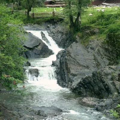 WaterfallCascading waterfall "Suceava Hook"Dolishnii Shepitunder 1 km from the centreThe cascade of waterfalls "Suceava Hook" is a unique natural monument of the Chernivtsi region. It is located on the Suceava River.
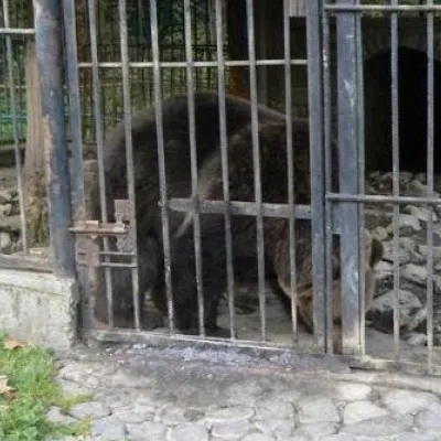 MuseumAviary of Selyatyn forestry, SelyatynSeliatyn9.1 km from the centreThe animal enclosure is located on the territory of the Selyatyn forestry in Chernivtsi Oblast, covering an area of 3.8 hectares.
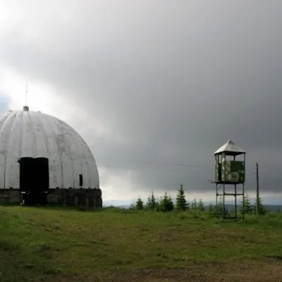 Historic siteCarpathian Pamir, SarataSarata9.6 km from the centreFrom the 1960s until the mid-1990s, a secret radar station operated on one of the highest peaks of the Bukovyna Carpathians, Mount Tomnatyk.
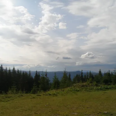 NatureBlack Dil Nature Reserve SarataSarata15 km from the centreChornyi Dil is a landscape reserve of national importance in Ukraine. It is located west of the village of Sarata, Putyla district, Chernivtsi region, in the...
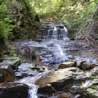 WaterfallChemernarsky waterfall Lower HookDolishnii Shepit25 km from the centreThe Chemernarsky Lower Hook Waterfall (also known as Lower Shepit) is located in Dolishnyi Shepit, in the western Ukraine, Chernivtsi region.
Where to stay
Hotels, guesthouses and cottages in and around Shepit.
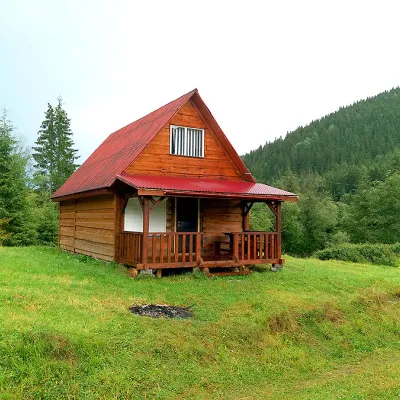 HomesteadHomestead "Sheptychanka" ShepitShepitunder 1 km from the centreSaunaBBQKitchenNearby: Church of St. Elijah 200 mMt Yarovytsia 9.3 km2 trails
 HotelEco-Resort "Khutir Tykhyi" SerhiiSerhii17 km from the centrePoolSaunaSPANearby: St. Nicholas Church 7.4 kmAviary of Selyatyn forestry 8.6 km
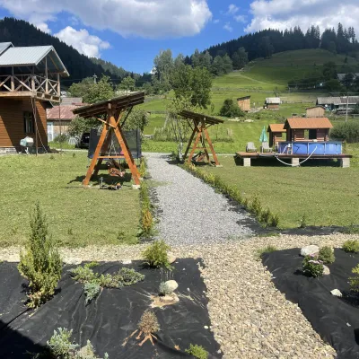 HotelVilla Karpatska BulbonaMyhove20 km from the centreVilla Karpatska Bulbona is located in the picturesque heart of the Carpathians in the village of Serhii, Vyzhnytsia district, Chernivtsi region.Nearby: St. Nicholas Church 3.9 km
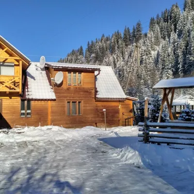 HomesteadHomestead "Pid Skelyu" MykulychynPutyla23 km from the centreSaunaBBQKitchenNearby: St. Nicholas Church 200 mWaterfall Kizya 9.4 km
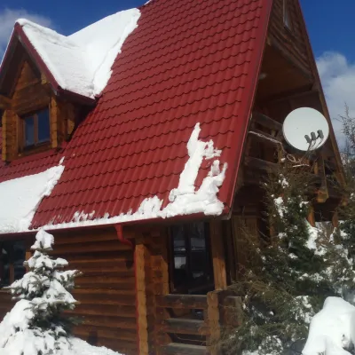 HomesteadChalet in the Carpathians "Lostun"Myhove27 km from the centreBreakfastFireplaceKitchenNearby: Chemernarsky Hook waterfall 2.1 km
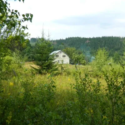 HomesteadEcofarm BukovaBanyliv-Pidhirnyi34 km from the centreBudget vacation in the Bukovinian Carpathians with respect for Nature. Ecofarm Bukova offers a cozy stay in the hamlet of Koshuy, Chernivtsi region in an agro...
Trails nearby
All trails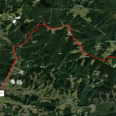 HardMulti-dayUnmarkedNyzhnii Yalovets village to Shypit villagevia Mount YarovytsiaElevation profile862–1 564 m24.7 kmascent 1 153 m≈ 8.5 h walkingunder 1 km from the centre
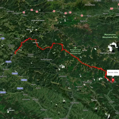 HardMulti-dayUnmarkedShepit village to Shybene villagevia Mount Yarovytsia, Mount Pnivie +1Elevation profile851–1 579 m73.4 kmascent 2 571 munder 1 km from the centre
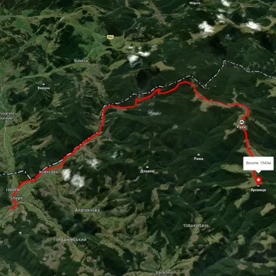 HardTwo-dayUnmarkedShepit village Mount YarovytsiaElevation profile863–1 562 m20.8 kmascent 1 021 m≈ 7 h walkingunder 1 km from the centre
Peaks nearby
All peaks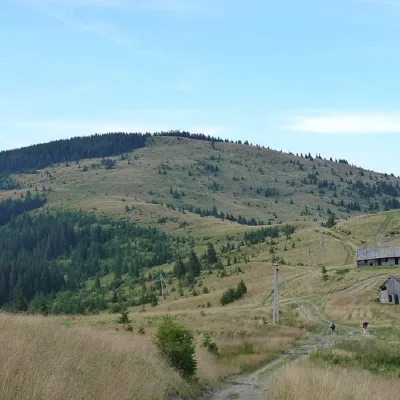 PeakMount YarovytsiaVerkhnyi Yalovetsaltitude 1 566 m9.3 km from the centre8 trails to the topYarovytsia is the peak of the Yalovychora Mountains in the Ukrainian Carpathians, located on the Yarovets Ridge , which is one of the southernmost ridges of the...
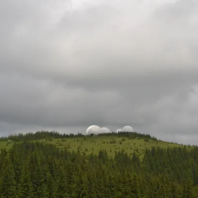 PeakMount Tomnatyk (Yalovychory)Sarataaltitude 1 565 m · Borzhava range9.7 km from the centreTomnatyk is a 1,565 m mountain in the Yalovychory Mountains, on the Tomnatykul ridge. It lies in the Vyzhnytsia district of Chernivtsi Oblast, north-east of the...
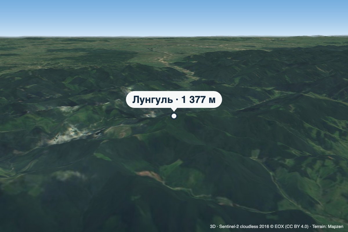 PeakMount LunhulRuskaaltitude 1 377 m19 km from the centreLunhul is a 1,377 m summit (1,377.4 m exactly) in the Pokuttia-Bukovyna Carpathians. It stands on the boundary of the former Vyzhnytsia and Putyla districts of...
What's nearby
Video