Bicazu Ardelean
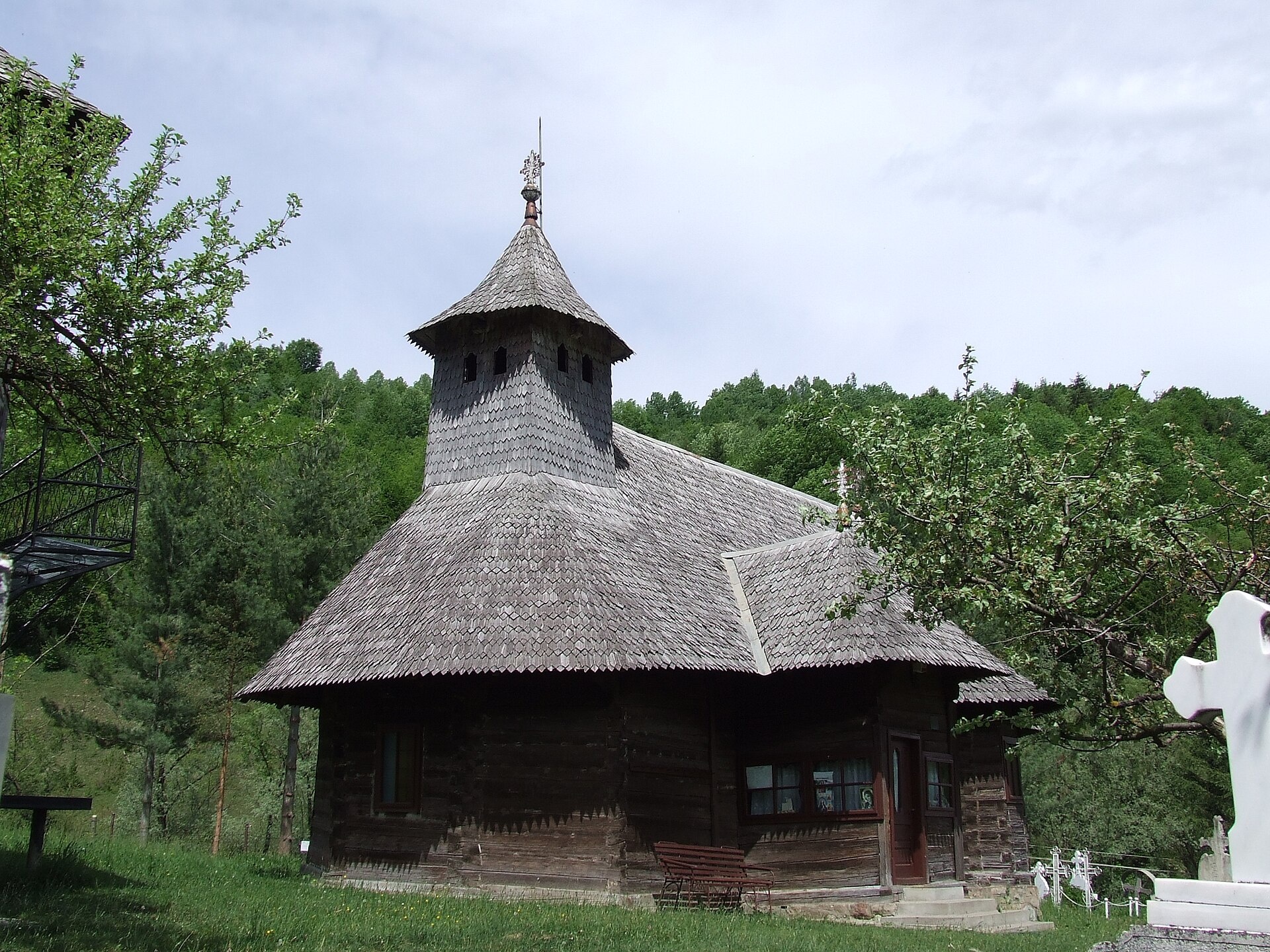
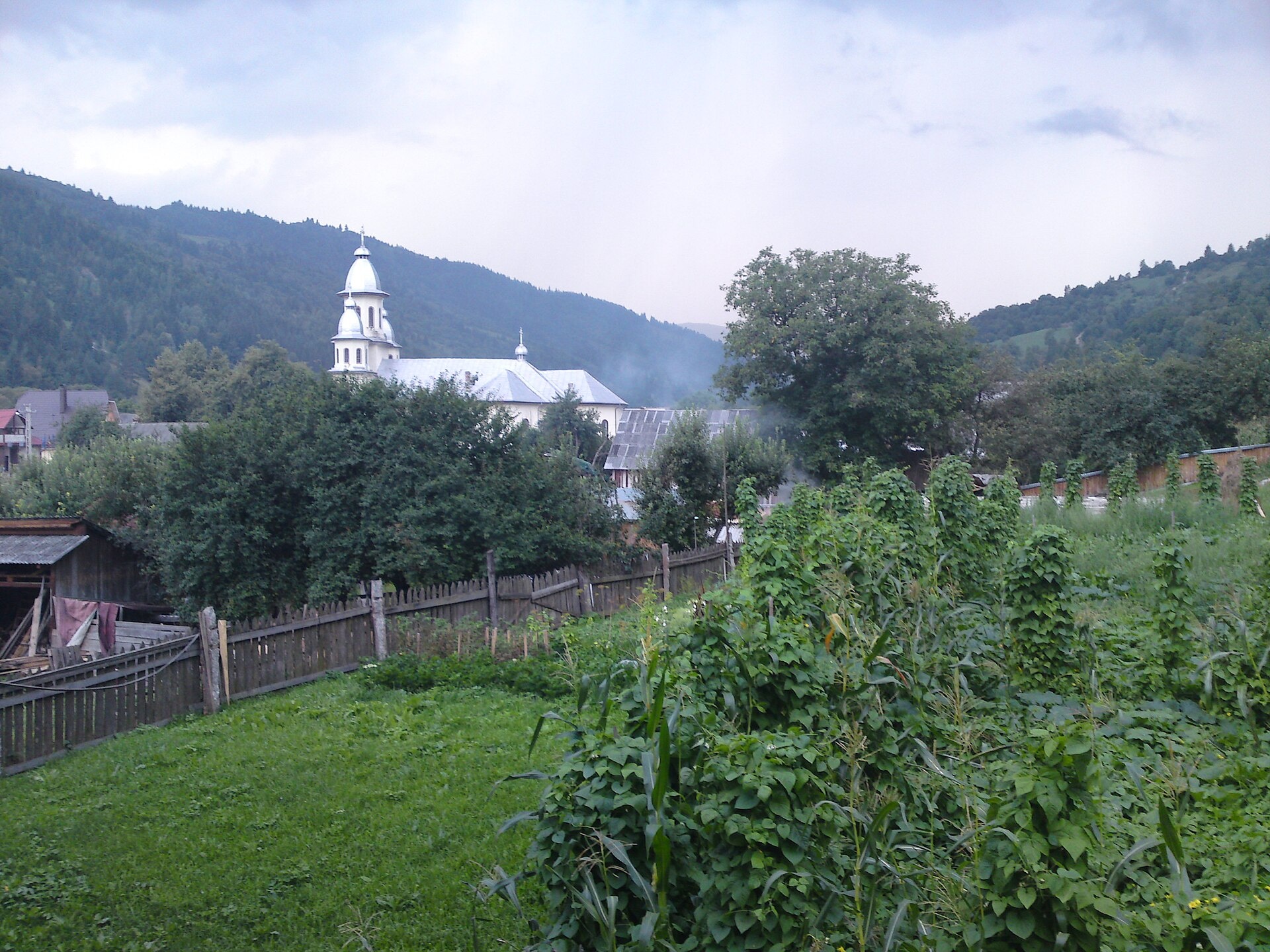
Photos: Bogdan Ilieș, CC BY 2.5 (Wikimedia Commons); Bicazu Ardelean: view of the village and its church — Nenea hartia, CC BY-SA 4.0 (Wikimedia Commons)
Bicazu Ardelean is a village in Romania.
Elevation: about 596 m above sea level. Population: 1,399 (2021). Mountains nearby: Ceahlău.
Here and nearby on the site: 1 trail.
Facts: Wikidata, OpenStreetMap. More on Wikipedia
Comments
Travellers’ experience: reports, tips, questions.
No one has written here yet. Be the first — your experience helps others.
What's nearby
Trails nearby
All trails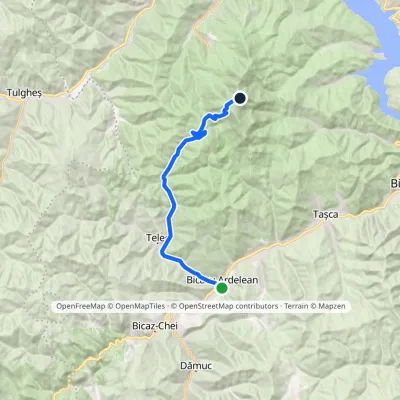 HardOne-dayMarkedBicazu Ardelean Dochia HutElevation profile570–1 793 m21 kmascent 1 224 m≈ 7.5 h walkingunder 1 km from the centre
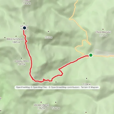 ModerateOne-dayMarkedIzvorul Muntelui Hut Dochia Hutvia Ocolașul Mic PlateauElevation profile803–1 767 m6.5 kmascent 1 034 m≈ 3.5 h walking10 km from the centre
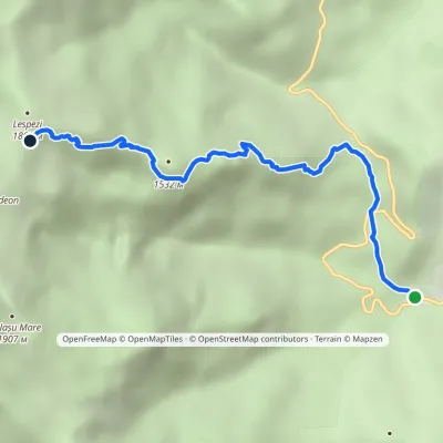 ModerateOne-dayMarkedIzvorul Muntelui Hut Dochia Hutvia Piatra cu ApăElevation profile803–1 767 m5.1 kmascent 963 m≈ 3 h walking12 km from the centre
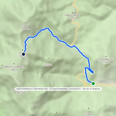 ModerateOne-dayMarkedIzvorul Muntelui Hut Dochia Hutvia Stânca DochieiElevation profile803–1 782 m6.2 kmascent 986 m≈ 3 h walking12 km from the centre
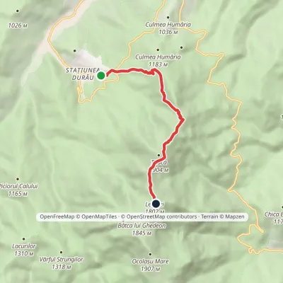 ModerateOne-dayMarkedDurău Dochia HutElevation profile862–1 803 m6.8 kmascent 992 m≈ 3.5 h walking12 km from the centre
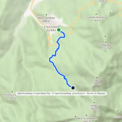 EasyOne-dayMarkedDurău Duruitoarea WaterfallElevation profile836–1 246 m4.1 kmascent 436 m≈ 2 h walking13 km from the centre
Peaks nearby
All peaks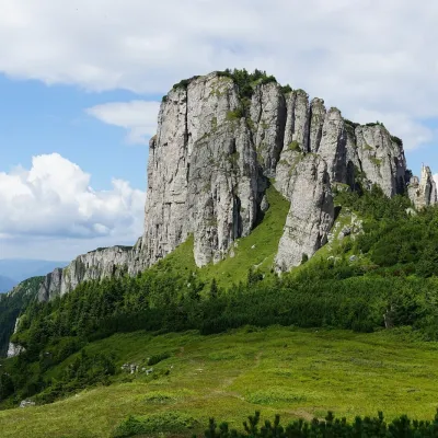 PeakOcolașul MareSecualtitude 1 907 m11 km from the centreOcolașul Mare (Romanian: Vârful Ocolașul Mare) is the highest summit of the Ceahlău Massif in the Eastern Carpathians, 1,907 m above sea level.
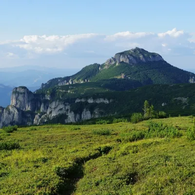 PeakToacaCeahlăualtitude 1 904 m14 km from the centre1 trail to the topToaca (Romanian: Vârful Toaca) is the second-highest summit of the Ceahlău Massif in the Eastern Carpathians, 1,904 m above sea level; it is only 3 m lower than...
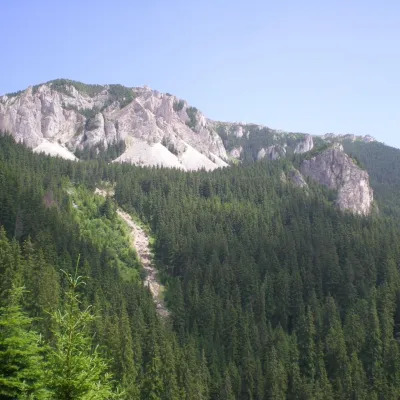 PeakHășmașul MareTrei Fântânialtitude 1 792 m19 km from the centreHășmașul Mare (Romanian: Vârful Hășmașul Mare, also Hăghimașul Mare; Hungarian: Nagy-Hagymás, formerly Bárány-havas) is the highest summit of the Hășmaș Mountains in...
What to visit
All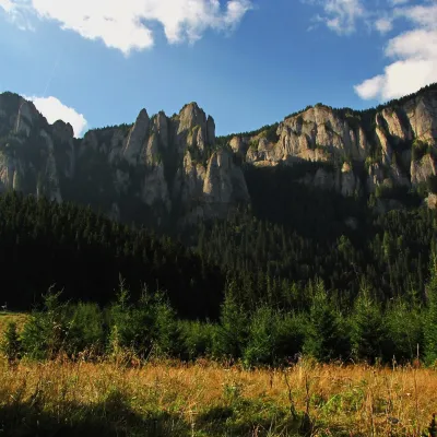 Mountain meadowPoiana MaicilorSecualtitude 1 303 m10 km from the centrePoiana Maicilor (literally "the nuns' meadow") is a mountain meadow at about 1,300 m on the south-eastern side of the Ceahlău massif, in Neamț County, Romania.
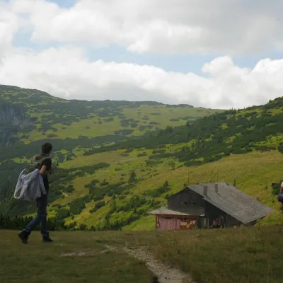 Mountain meadowCeahlău PlateauSecualtitude 1 765 m12 km from the centreThe Ceahlău Plateau is the grassy summit plateau of the Ceahlău massif (Masivul Ceahlău) in Romania's Eastern Carpathians, in Neamț County.
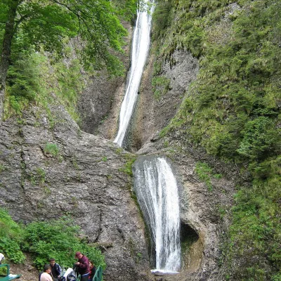 WaterfallDuruitoarea Waterfall (Cascada Duruitoarea)Ceahlău · Ceahlău13 km from the centreheight 25 m2 cascades1 251 m above sea levelDuruitoarea Waterfall (Cascada Duruitoarea) is a natural monument of national importance in the Ceahlău massif, Neamț County.
Craft nearby
All craft places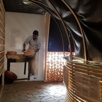
Huts, shelters and springs nearby
Getting there from Ukraine
Border crossings
- Porubne – Siret — road and pedestrian, 24/7
- Diakivtsi – Racovăț — road and pedestrian, 24/7 No freight traffic.
- Krasnoilsk – Vicovu de Sus — road and pedestrian, 08:00–20:00 Cars up to 3.5 t and pedestrians only; not 24/7.
- Solotvyno – Sighetu Marmației — road and pedestrian, 24/7 Passenger traffic only: vehicles up to 3.5 t with up to 9 seats, pedestrians.
- Diakove – Halmeu — road, 24/7 No pedestrian crossing.
By car
Chernivtsi – Durău ≈204 km, ≈3 h 54 min (via Diakivtsi – Racovăț); Ivano-Frankivsk – Durău ≈342 km, ≈6 h 11 min (via Diakivtsi – Racovăț); Rakhiv – Durău ≈313 km, ≈6 h 18 min (via Solotvyno – Sighetu Marmației). Times without border queues, our road routing (GraphHopper, OSM).
Checked 03.11.2026; border crossing hours and timetables change — check before you travel.
