Matiaška
Matiaška is a village in Slovakia.
Elevation: about 217 m above sea level. Population: 288 (2025).
Here and nearby on the site: 1 trail.
Facts: Wikidata, OpenStreetMap. More on Wikipedia
Comments
Travellers’ experience: reports, tips, questions.
No one has written here yet. Be the first — your experience helps others.
What's nearby
Trails nearby
All trails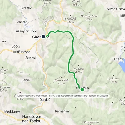 ModerateOne-dayMarkedGiraltovce MatiaškaElevation profile188–429 m11.5 kmascent 288 m≈ 3.5 h walkingunder 1 km from the centre
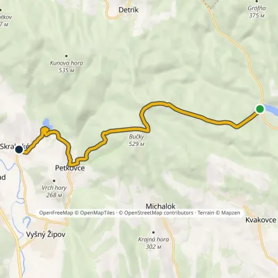 ModerateOne-dayMarkedDobrá Skrabskévia Bučky, PetkovceElevation profile161–529 m10.3 kmascent 389 m≈ 3 h walking5.4 km from the centre
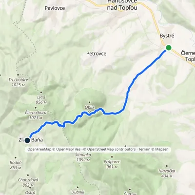 ModerateOne-dayMarkedZlatá Baňa BystréElevation profile184–909 m13.8 kmascent 730 m≈ 4.5 h walking6.8 km from the centre
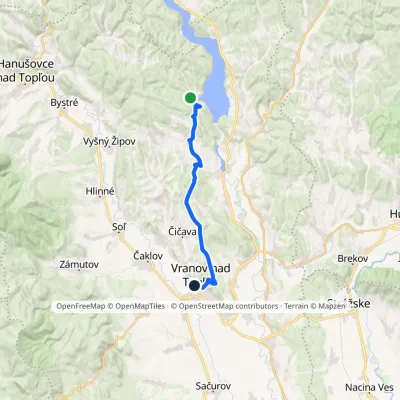 ModerateOne-dayMarkedVranov nad Topľou Dobrá recreation areaElevation profile130–312 m19.3 kmascent 350 m≈ 5.5 h walking8.2 km from the centre
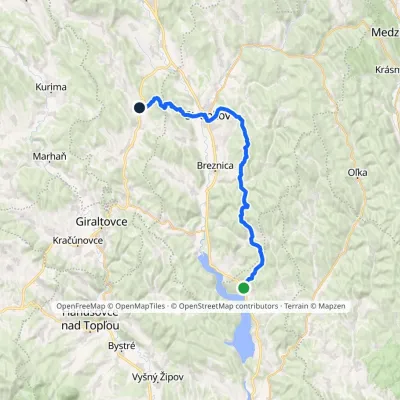 Hard1–2 daysMarkedNová Kelča, Alpina Šarišský ŠtiavnikElevation profile170–525 m33.2 kmascent 1 133 m≈ 10 h walking8.3 km from the centre
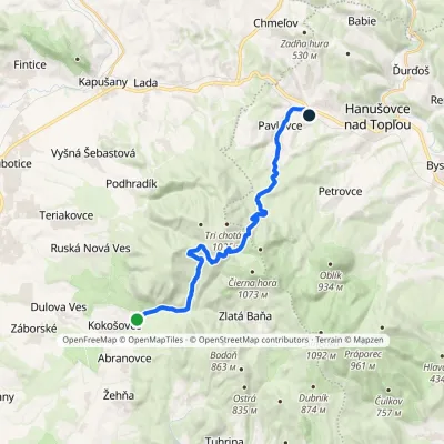 ModerateOne-dayMarkedSigord, recreational facilities Pavlovce, stationElevation profile235–850 m19 kmascent 555 m≈ 5.5 h walking9.4 km from the centre
Peaks nearby
All peaks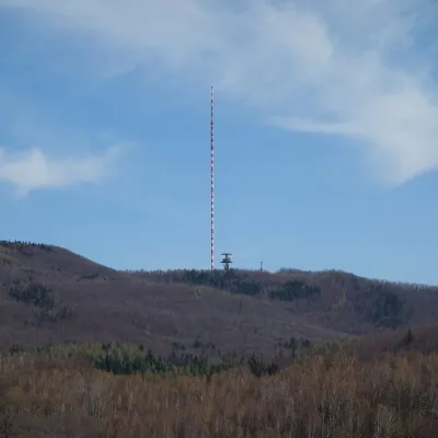 PeakDubníkZlatá Baňaaltitude 874 m18 km from the centreDubník is a forested 874 m hill in the northern half of the Slanské vrchy in eastern Slovakia, in the Šimonka subunit.
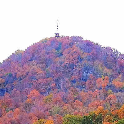 PeakStrážFinticealtitude 740 m24 km from the centreStráž (also Veľká Stráž) is a forested 740 m hill of volcanic origin in the Spiš-Šariš Intermountain (Spišsko-šarišské medzihorie) in eastern Slovakia.
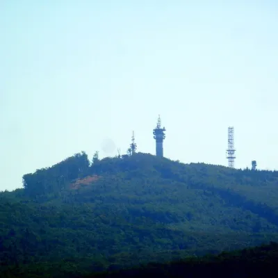 PeakMakovicaKecerovský Lipovecaltitude 981 m24 km from the centreMakovica is a 981 m summit in the central part of the Slanské vrchy in eastern Slovakia, in the subunit that bears the same name.
What to visit
All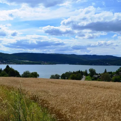 LakeVeľká Domaša reservoirKvakovce · Zemplén Mountains9.7 km from the centre156 m above sea levelarea 14.2–15.1 km²32–35 m deepVeľká Domaša (often just Domaša) is a large reservoir on the Ondava river in the Ondavská vrchovina hills, south of the Low Beskids ridge, in the Prešov Region of...
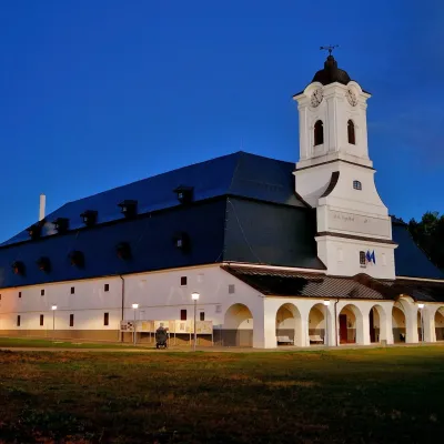 MuseumSolivar Museum, Prešov — historic salt worksPrešov24 km from the centreThe Solivar Museum (STM – Múzeum Solivar v Prešove) is a branch of the Slovak Technical Museum in Košice, housed in the historic salt works on the south-eastern edge...
Huts, shelters and springs nearby
Getting there from Ukraine
Border crossings
- Uzhhorod – Vyšné Nemecké — road, 24/7
- Malyi Bereznyi – Ubľa — road, 24/7 For cars and buses; pedestrians not confirmed by the Ukrainian border service, lorries up to 3.5 t.
- Mali Selmentsi – Veľké Slemence (pedestrian) — pedestrian, 09:00–21:00 Kyiv time Pedestrians and cyclists only; inconvenient for the Tatras without onward transport.
- Chop – Čierna nad Tisou (rail) — rail, 24/7
By car
From Uzhhorod ≈138 km, ≈2 h 30 min without queues: Uzhhorod – Vyšné Nemecké → I/19 to Michalovce → I/18 via Vranov nad Topľou towards Prešov → I/545 to Bardejov (≈133 km, ≈2 h 20 min from the border). From Lviv it is faster through Poland: M-10 → Krakovets – Korczowa → A4 to Dębica → DK73 to Jasło → DK28 to Gorlice → DW977 over the internal Schengen crossing Konieczna – Becherov → I/545 to Bardejov: ≈329 km, ≈5 h 10 min (≈251 km, ≈3 h 40 min from the border). Via the Uzhok Pass and Ubľa ≈345 km, ≈6 h 20 min.
Checked 23.10.2026; border crossing hours and timetables change — check before you travel.
