Nová Bošáca
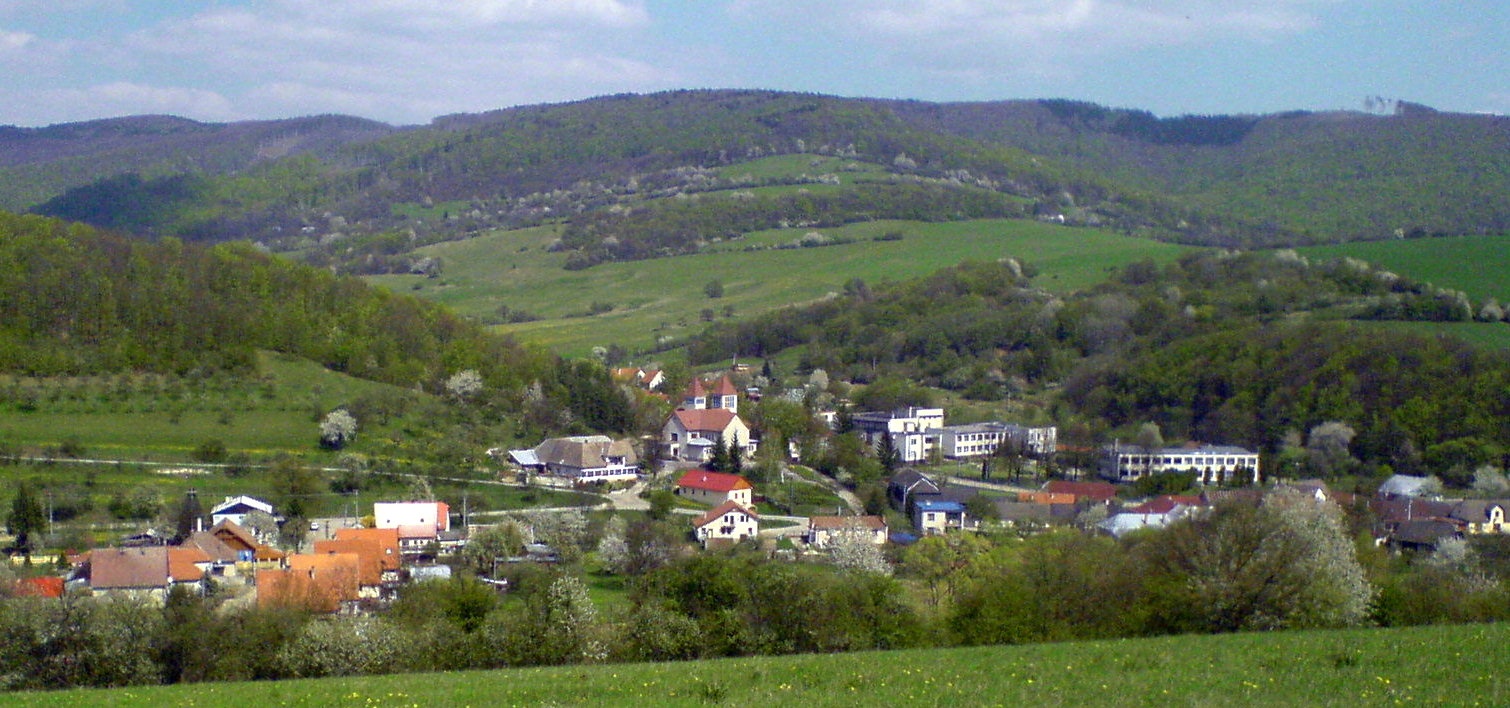
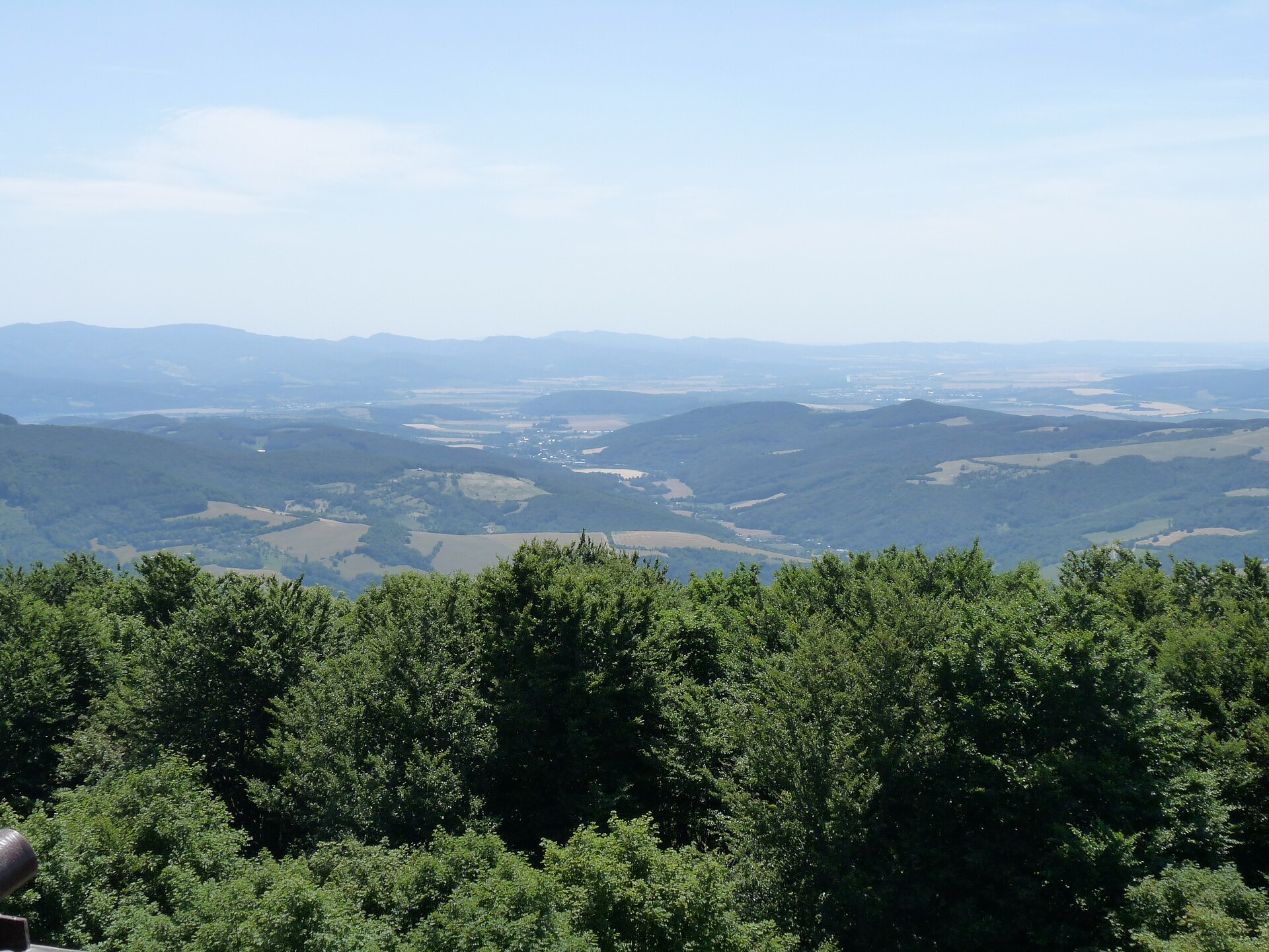
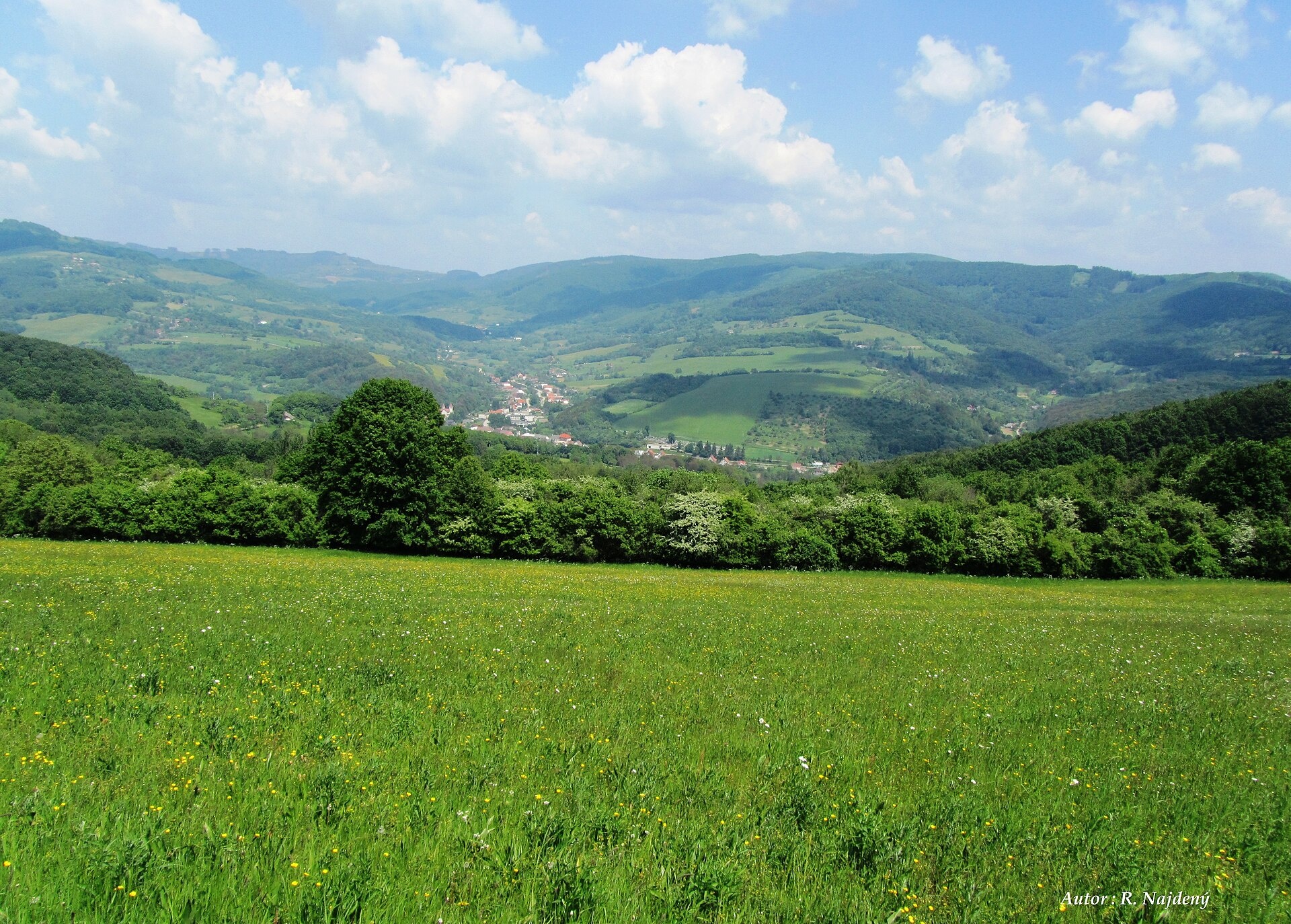
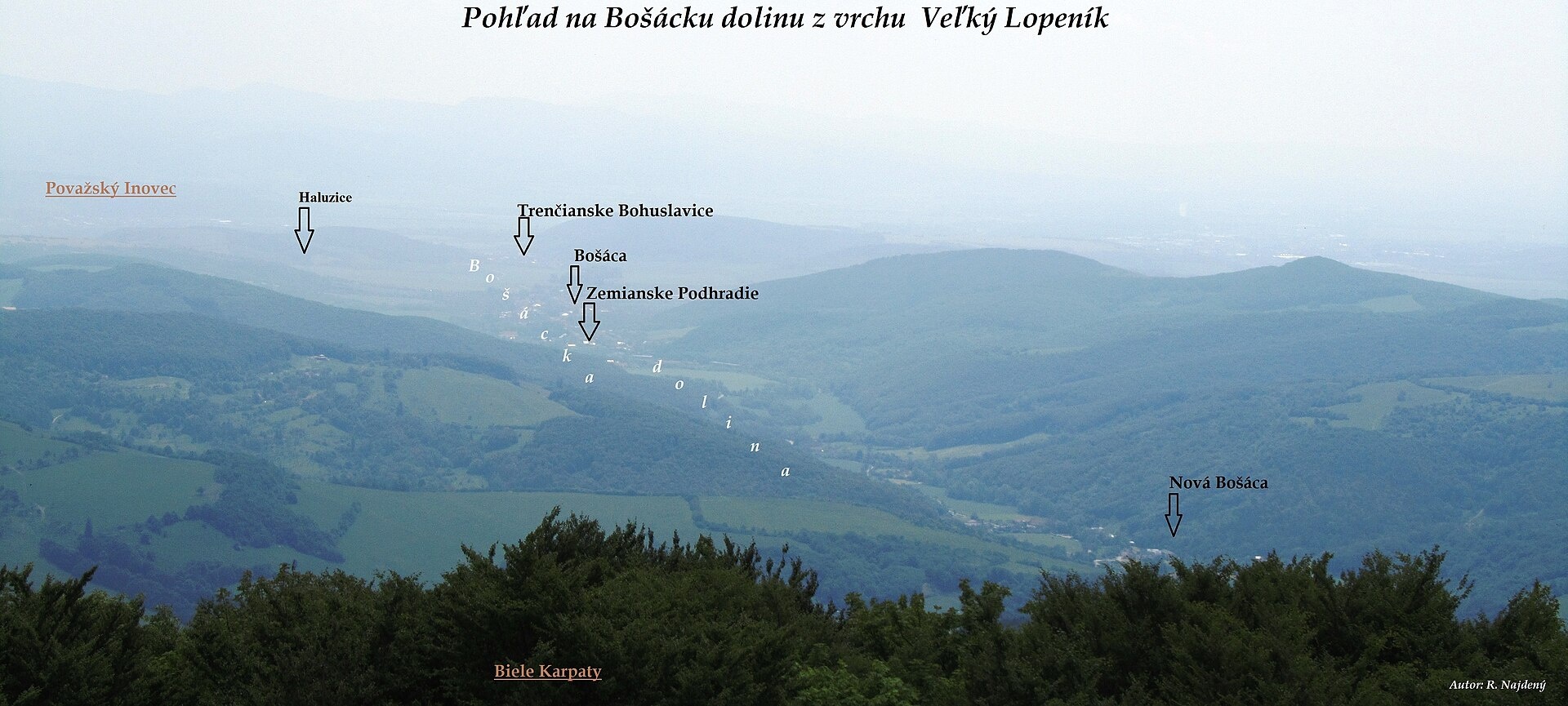
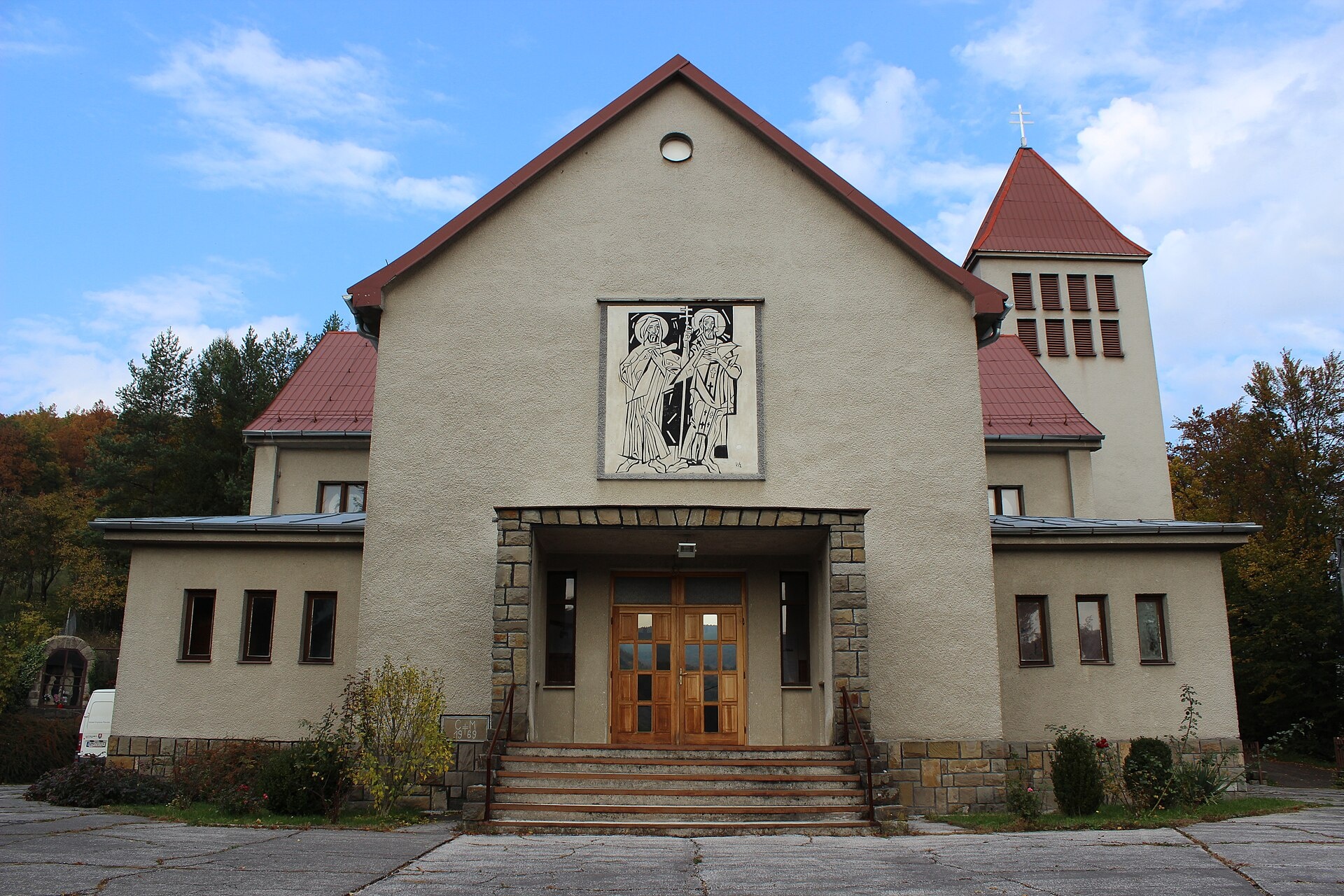
Photos: Bersi666, CC BY 3.0 (Wikimedia Commons); Pistal, CC BY-SA 4.0 (Wikimedia Commons); R.Najdený, CC BY-SA 4.0 (Wikimedia Commons); R.Najdený, CC BY-SA 4.0 (Wikimedia Commons); Jan Polák, CC BY-SA 3.0 (Wikimedia Commons); Jan Polák, CC BY-SA 3.0 (Wikimedia Commons)
Nová Bošáca is a village and municipality in the Nové Mesto nad Váhom District, Trenčín Region, Slovakia. It lies at an elevation of 302 metres in the White Carpathians, right on the border with eastern Moravia. The village borders Březová, Lopeník, and Vyškovec on the Czech side, and Chocholná-Velčice, Haluzice, Bošáca, Zemianske Podhradie, and Moravské Liesköve on the Slovak side. The Predpolomský brook flows through the area, and the surroundings are known for the Bestinne and Blažejova nature monuments.
The first mention of Nová Bošáca dates to 1950, when it was established by separating from Bošáca. In the 18th century, the area belonged to the Trenčín County of the Kingdom of Hungary, and from 1939 to 1945, it was part of the Slovak Republic. Archaeological finds document settlement from the Stone Age to the early Middle Ages.
The village is known for its location in the picturesque Bošácka valley, which forms the Bošáčka microregion. This area is valued for its ethnographic and natural features, attracting both researchers and tourists. The highest point of the municipality is Veľký Lopeník hill (912 m). In the past, residents were engaged in weaving, embroidery, basketry, and wooden utensil making.
Visitors can explore numerous hiking trails, including “Veľký Lopeník – Nová Bošáca”, “Trenčianske Bohuslavice – Nová Bošáca”, and “Captain Miloš Uhra’s Trail”. Mountain enthusiasts can ascend Veľký Lopeník or visit the meadows of Veľká Javorina — the highest peak of the White Carpathians. The region also offers the Golubý Shelter for travelers.
Getting there from Ukraine
From Uzhhorod to Žilina ≈330 km, ≈4 h 20 min without queues: Uzhhorod – Vyšné Nemecké → I/19 to Košice → D1 via Prešov, Poprad, Liptovský Mikuláš and Ružomberok (≈17 km on I/18 between D1 sections) → Žilina. To Terchová ≈314 km, ≈4 h 15 min: from the D1 onto I/70 and II/583. From Lviv through Poland: M-10 → Krakovets – Korczowa → A4 to Kraków → S7/DK7 to Chyżne – Trstená → R3, I/59 to Dolný Kubín → II/583 via Terchová to Žilina: to Terchová ≈493 km (≈6 h 30 min), to Žilina ≈518 km (≈7 h). Via the tolled A4 Kraków – Katowice, S1 and D3: ≈533 km, ≈6 h 35 min. The D1 requires an e-vignette (eznamka.sk).
Sources: Wikipedia, Wikidata, OpenStreetMap, Karpaty.rocks data. More on Wikipedia
What's nearby
Trails nearby
All trails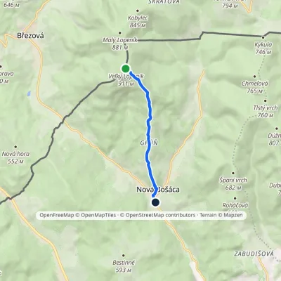 EasyOne-dayMarkedVeľký Lopeník Nová BošácaElevation profile307–911 m5 kmascent 1 m≈ 1.5 h walkingunder 1 km from the centre
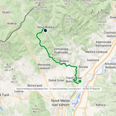 ModerateTwo-dayMarkedTrenčianske Bohuslavice Nová BošácaElevation profile188–575 m18.4 kmascent 556 m≈ 5.5 h walkingunder 1 km from the centre
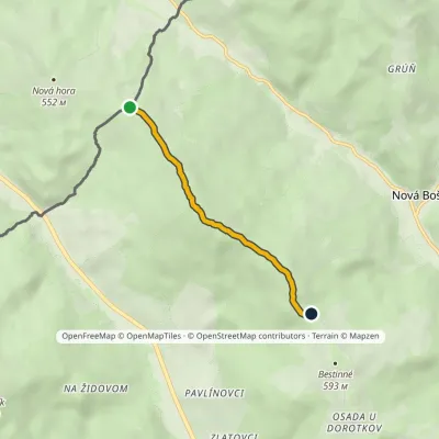 EasyOne-dayMarkedNová Hora-ČR Horné KameničnéElevation profile535–649 m3.8 kmascent 106 m≈ 1 h walking2 km from the centre
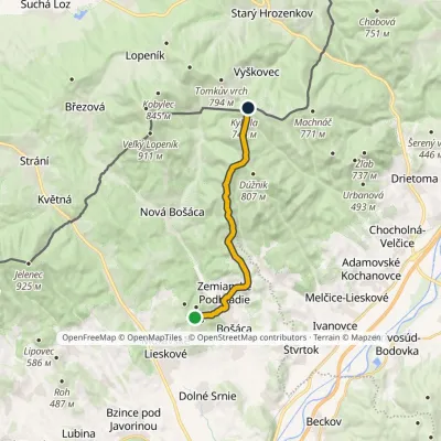 ModerateOne-dayMarkedRolincová Pod Kykulou, state borderElevation profile248–789 m13.3 kmascent 584 m≈ 4.5 h walking2.7 km from the centre
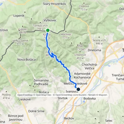 ModerateOne-dayMarkedMelčice Sedlo Kykula, state borderElevation profile197–817 m16 kmascent 224 m≈ 4.5 h walking4.1 km from the centre
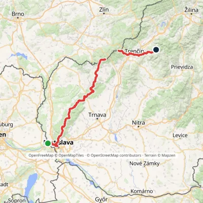 HardMulti-dayMarkedHrad Devín, parking Horná Poruba, U BrdárovElevation profile146–965 m190.1 kmascent 7 200 m6.5 km from the centre
Peaks nearby
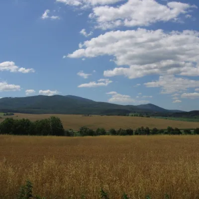
All peaks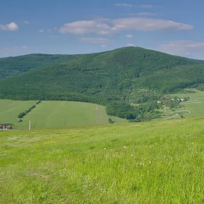 PeakVeľký LopeníkNová Bošácaaltitude 911 m4.2 km from the centreVeľký Lopeník (Czech Velký Lopeník) is a distinctive 911 m summit of the White Carpathians (911.3 m according to Slovak data) on the border between Slovakia and Czechia.
 PeakInovecSelecaltitude 1 041 m21 km from the centreInovec (Polish Inowiec) is the highest summit of the Považský Inovec range in western Slovakia, at 1,041 m (more precisely 1,041.6 m).
What to visit
All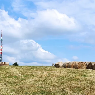 Mountain meadowThe meadows of Veľká Javorina, the highest peak of the White CarpathiansLubinaaltitude 970 m9.2 km from the centreVeľká Javorina (Czech Velká Javořina, 969.8 m) is the highest mountain of the White Carpathians (Biele Karpaty) on the Slovak–Czech border, about 8 km north of the...
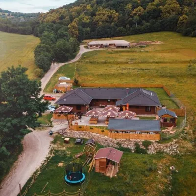 Cheese dairies & pasturesSalaš Beckov: 100% sheep’s cheese and bryndza dumplingsBeckov14 km from the centreA sheep salaš beside one of the Váh valley’s finest castles Beckov is a village in the Váh valley between Nové Mesto nad Váhom and Trenčín, overlooked by the ruins of...
Craft nearby
All craft places
Spas and thermal pools nearby
Huts, shelters and springs nearby
Getting there from Ukraine
Border crossings
- Uzhhorod – Vyšné Nemecké — road, 24/7
- Malyi Bereznyi – Ubľa — road, 24/7 For cars and buses; pedestrians not confirmed by the Ukrainian border service, lorries up to 3.5 t.
- Mali Selmentsi – Veľké Slemence (pedestrian) — pedestrian, 09:00–21:00 Kyiv time Pedestrians and cyclists only; inconvenient for the Tatras without onward transport.
- Chop – Čierna nad Tisou (rail) — rail, 24/7
By car
From Uzhhorod to Žilina ≈330 km, ≈4 h 20 min without queues: Uzhhorod – Vyšné Nemecké → I/19 to Košice → D1 via Prešov, Poprad, Liptovský Mikuláš and Ružomberok (≈17 km on I/18 between D1 sections) → Žilina. To Terchová ≈314 km, ≈4 h 15 min: from the D1 onto I/70 and II/583. From Lviv through Poland: M-10 → Krakovets – Korczowa → A4 to Kraków → S7/DK7 to Chyżne – Trstená → R3, I/59 to Dolný Kubín → II/583 via Terchová to Žilina: to Terchová ≈493 km (≈6 h 30 min), to Žilina ≈518 km (≈7 h). Via the tolled A4 Kraków – Katowice, S1 and D3: ≈533 km, ≈6 h 35 min. The D1 requires an e-vignette (eznamka.sk).
Checked 23.10.2026; border crossing hours and timetables change — check before you travel.
