Lazy pod Makytou
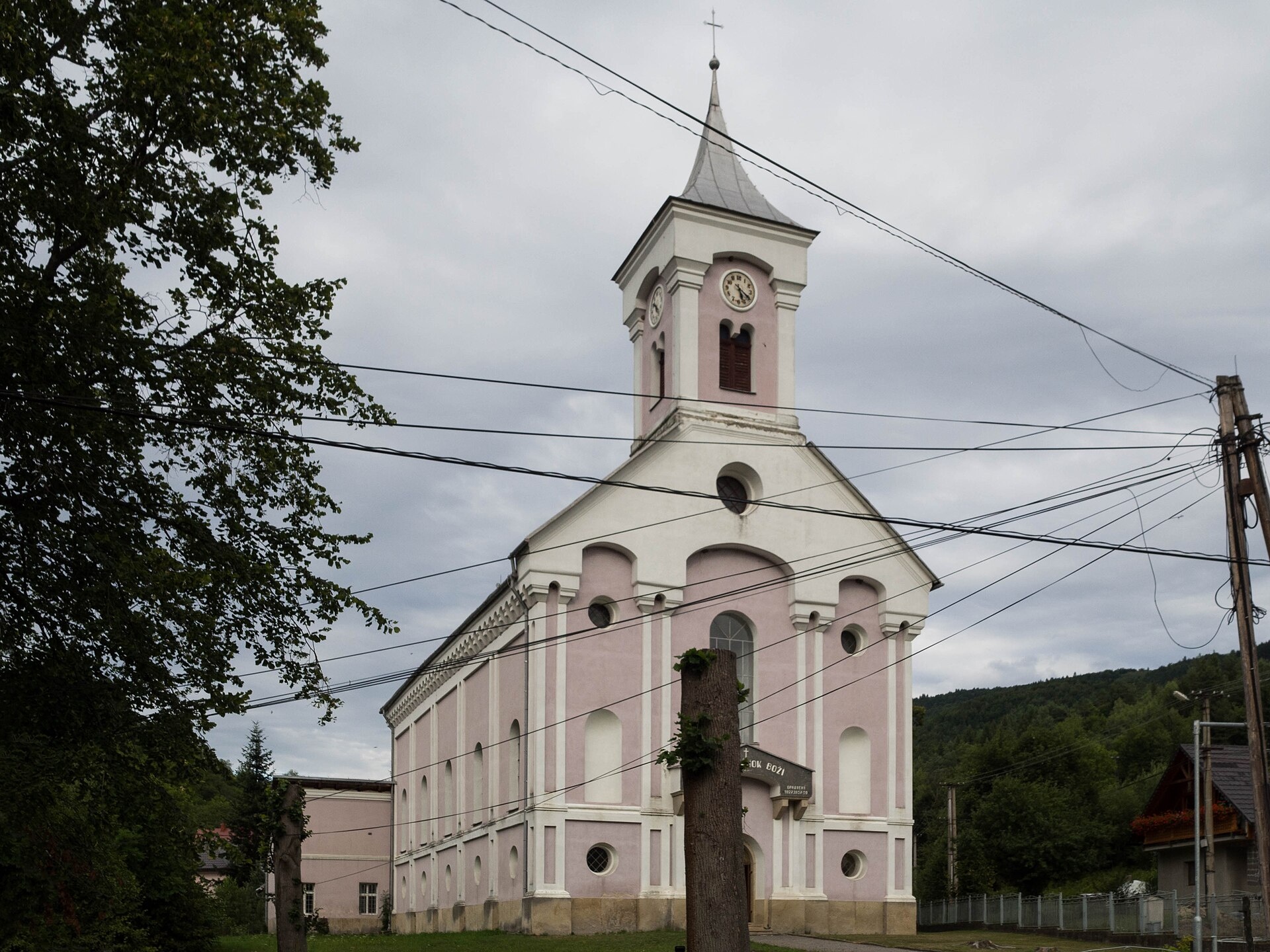
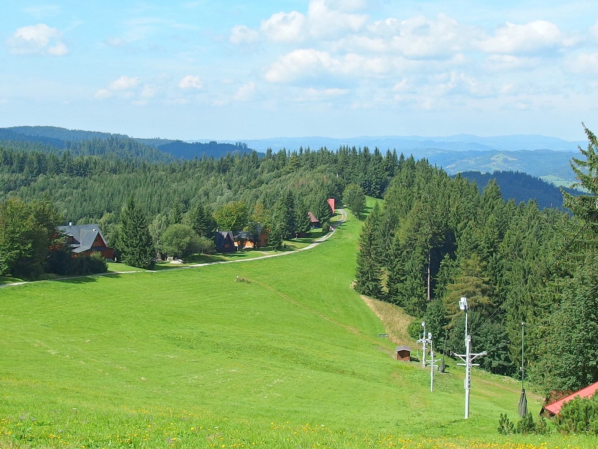
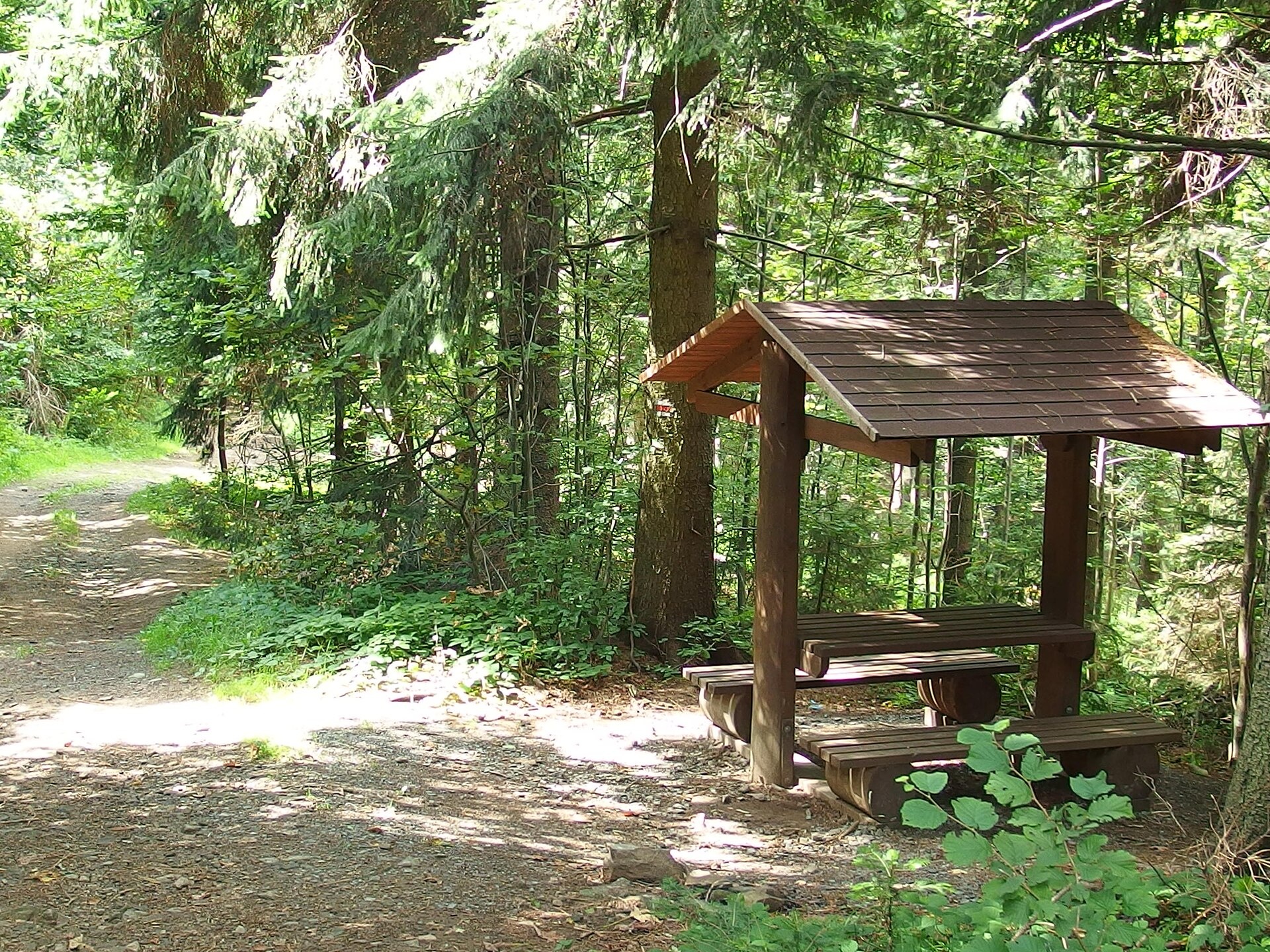
Photos: David Raška, CC BY-SA 4.0 (Wikimedia Commons); Michal Jakubský, CC BY 3.0 (Wikimedia Commons); Michal Jakubský, CC BY 3.0 (Wikimedia Commons)
Lazy pod Makytou is a village in Slovakia.
Elevation: about 380 m above sea level. Population: 1,211 (2025). Mountains nearby: Javorníky.
Here and nearby on the site: 3 trails, 1 peak.
Facts: Wikidata, OpenStreetMap. More on Wikipedia
Trails nearby
All trails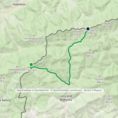 ModerateOne-dayMarkedMakyta Hotel PortášElevation profile418–923 m12.8 kmascent 513 m≈ 4 h walking1.8 km from the centre
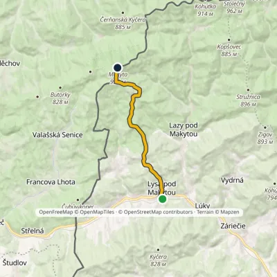 ModerateOne-dayMarkedLysá pod Makytou MakytaElevation profile364–923 m10 kmascent 618 m≈ 3.5 h walking2.1 km from the centre
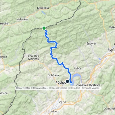 HardMulti-dayMarkedNosice Hotel PortášElevation profile260–927 m34.7 kmascent 1 017 m≈ 10.5 h walking4.6 km from the centre
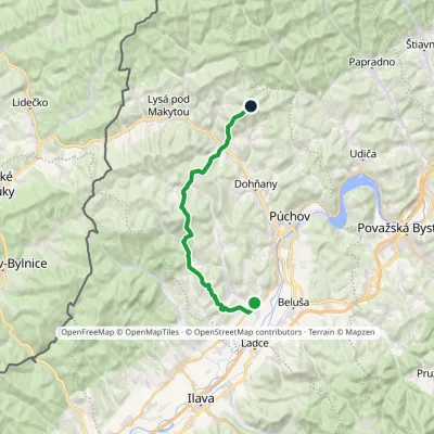 HardTwo-dayMarkedLednické Rovne Sedlo KýčeraElevation profile261–767 m24.7 kmascent 1 335 m≈ 9 h walking5 km from the centre
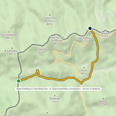 EasyOne-dayMarkedPapajské sedlo Sedlo KohútkaElevation profile516–879 m5.4 kmascent 363 m≈ 2 h walking5.7 km from the centre
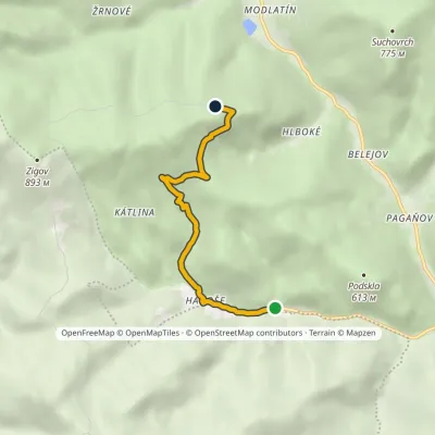 EasyOne-dayMarkedKátlina Nad KončinouElevation profile433–775 m4.2 kmascent 338 m≈ 1.5 h walking5.9 km from the centre
Peaks nearby
All peaks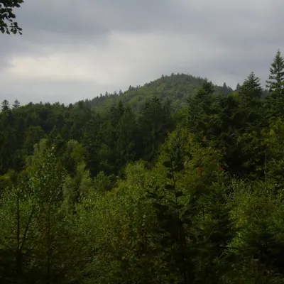 PeakMakytaLazy pod Makytoualtitude 923 m5.3 km from the centreMakyta (German Makita) is the highest and most massive summit of the western Javorníky, 923 m high (923.3 m according to Slovak and Czech data).
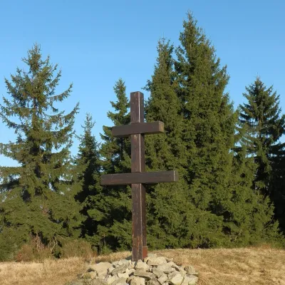 PeakVeľký Javorníkaltitude 1 072 m15 km from the centreVeľký Javorník (Polish Wielki Jawornik) is the highest peak of the Javorníky range at 1,072 m (more precisely 1,071.5 m).
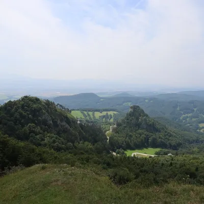 PeakChmeľováVršatské Podhradiealtitude 925 m17 km from the centreChmeľová is a 925 m summit, the second highest in the White Carpathians (Biele Karpaty) after Veľká Javorina (970 m).
What to visit
All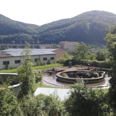 Water parks & thermal poolsNimnica: a mineral-water spa above the Nosice reservoirNimnica16 km from the centreNimnica is one of Slovakia's youngest spas, in the Váh valley between Púchov and Považská Bystrica. Its spa houses stand at about 300 m on a wooded spur of the...
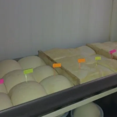 Cheese dairies & pasturesSalaš Orlové near Považská Bystrica: cheese, bryndza, žinčicaPovažská Bystrica19 km from the centreOrlové is a part of the town of Považská Bystrica on the left bank of the Váh, at the foot of hills that rise into the Strážov Hills.
Craft nearby
All craft places
Spas and thermal pools nearby
Huts, shelters and springs nearby
Getting there from Ukraine
Border crossings
- Uzhhorod – Vyšné Nemecké — road, 24/7
- Malyi Bereznyi – Ubľa — road, 24/7 For cars and buses; pedestrians not confirmed by the Ukrainian border service, lorries up to 3.5 t.
- Mali Selmentsi – Veľké Slemence (pedestrian) — pedestrian, 09:00–21:00 Kyiv time Pedestrians and cyclists only; inconvenient for the Tatras without onward transport.
- Chop – Čierna nad Tisou (rail) — rail, 24/7
By car
From Uzhhorod to Žilina ≈330 km, ≈4 h 20 min without queues: Uzhhorod – Vyšné Nemecké → I/19 to Košice → D1 via Prešov, Poprad, Liptovský Mikuláš and Ružomberok (≈17 km on I/18 between D1 sections) → Žilina. To Terchová ≈314 km, ≈4 h 15 min: from the D1 onto I/70 and II/583. From Lviv through Poland: M-10 → Krakovets – Korczowa → A4 to Kraków → S7/DK7 to Chyżne – Trstená → R3, I/59 to Dolný Kubín → II/583 via Terchová to Žilina: to Terchová ≈493 km (≈6 h 30 min), to Žilina ≈518 km (≈7 h). Via the tolled A4 Kraków – Katowice, S1 and D3: ≈533 km, ≈6 h 35 min. The D1 requires an e-vignette (eznamka.sk).
Checked 23.10.2026; border crossing hours and timetables change — check before you travel.
