Suchá nad Parnou
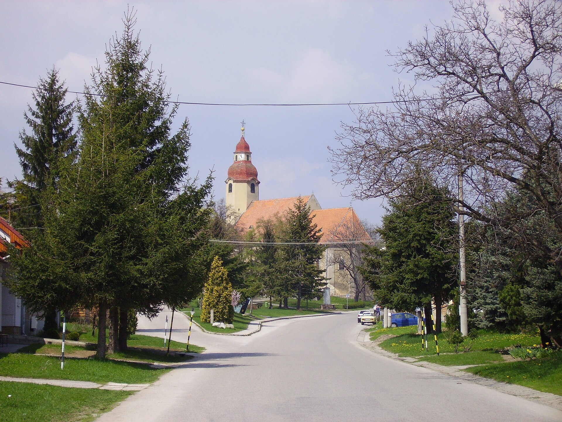
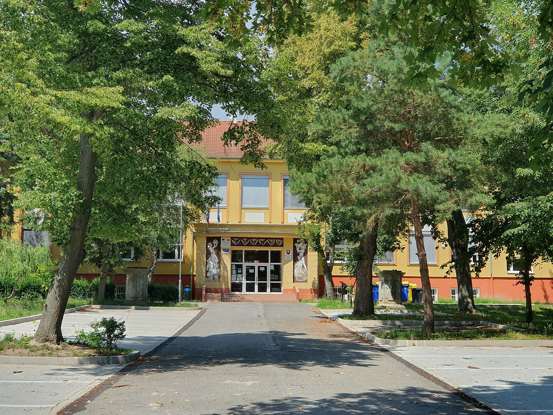
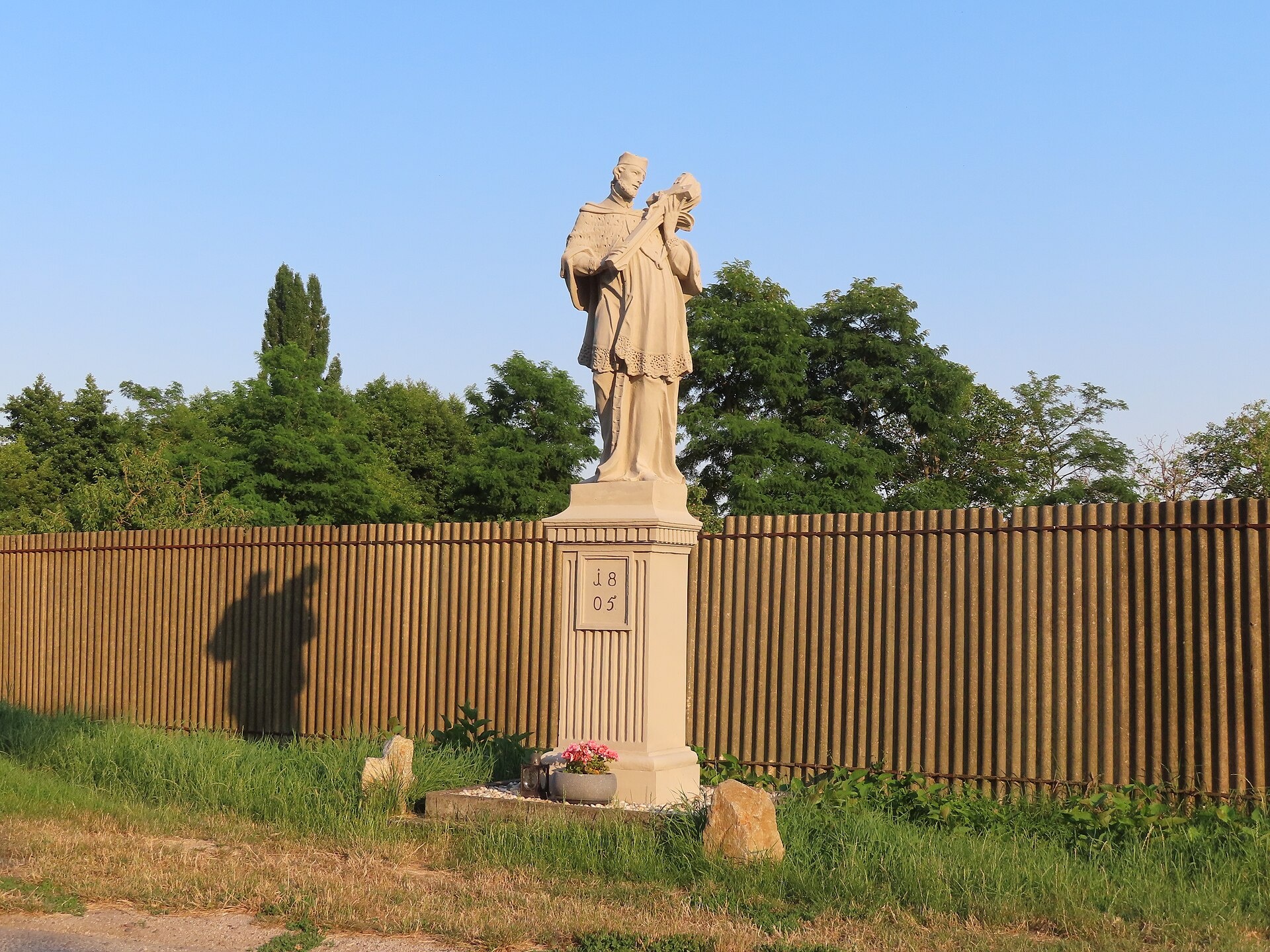
Photos: No machine-readable author provided. Rado Bahna~commonswiki assumed (based on copyright claims)., Public domain (Wikimedia Commons); Akul59, CC BY-SA 4.0 (Wikimedia Commons); Taz, CC BY-SA 4.0 (Wikimedia Commons)
Suchá nad Parnou is a village in Slovakia.
Elevation: about 176 m above sea level. Population: 2,324 (2025). Mountains nearby: Little Carpathians.
Here and nearby on the site: 1 craft place.
Facts: Wikidata, OpenStreetMap. More on Wikipedia
Trails nearby
All trails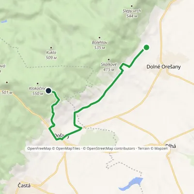 EasyOne-dayMarkedSvätý Urban Pod KlokočinouElevation profile230–477 m8 kmascent 304 m≈ 2.5 h walking6.3 km from the centre
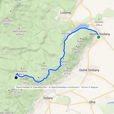 ModerateOne-dayMarkedHorné Orešany ZabitéElevation profile207–525 m11.9 kmascent 377 m≈ 3.5 h walking7 km from the centre
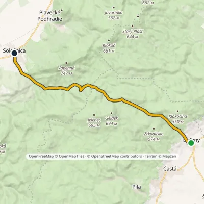 ModerateOne-dayMarkedDoľany SološnicaElevation profile219–511 m14.1 kmascent 325 m≈ 4 h walking8.2 km from the centre
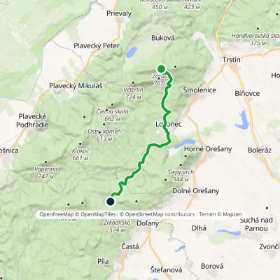 ModerateOne-dayMarkedZabité Záruby, junctionElevation profile237–767 m15.7 kmascent 303 m≈ 4.5 h walking9.5 km from the centre
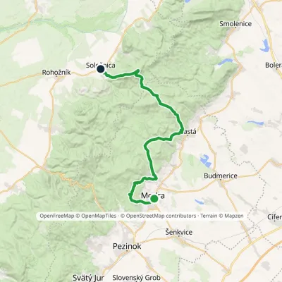 HardMulti-dayMarkedModra, square SološnicaElevation profile175–744 m32.9 kmascent 1 113 m≈ 10.5 h walking10 km from the centre
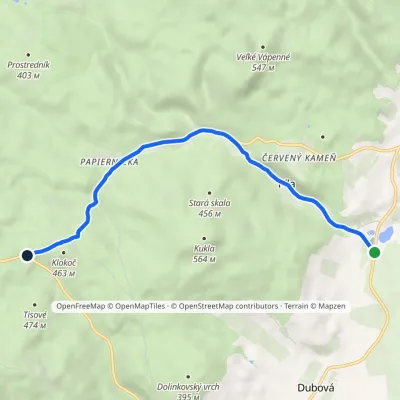 EasyOne-dayMarkedPíla, junction Piesok, UK hutElevation profile219–460 m6.4 kmascent 238 m≈ 2 h walking11 km from the centre
Peaks nearby
All peaks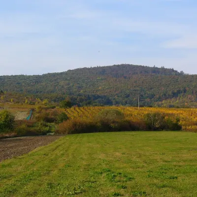 PeakKuklaDubováaltitude 564 m13 km from the centreKukla is a distinctive, solitary 564 m summit in the Little Carpathians (Malé Karpaty) in western Slovakia, in the section known as the Pezinok Carpathians.
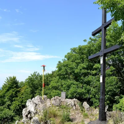 PeakZárubyBukováaltitude 767 m14 km from the centreZáruby (formerly also Ostrý vrch, German Scharfenstein) is the highest peak of the Little Carpathians at 767 m (some signposts say 768 m).
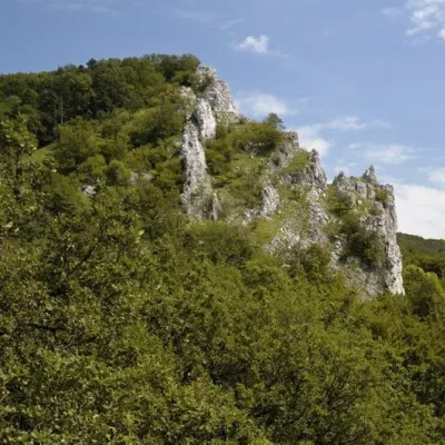 PeakVápennáSološnicaaltitude 752 m17 km from the centreVápenná (also Roštún; German Rachsthurn) is a 752 m summit and the third highest peak of the Little Carpathians.
What to visit
All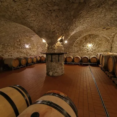 Wine & tastingsMagula Winery, Suchá nad Parnou: biodynamic wines and a farmSuchá nad Parnou1.5 km from the centreSuchá nad Parnou is a wine village on the south-eastern slopes of the Little Carpathians, near Trnava.
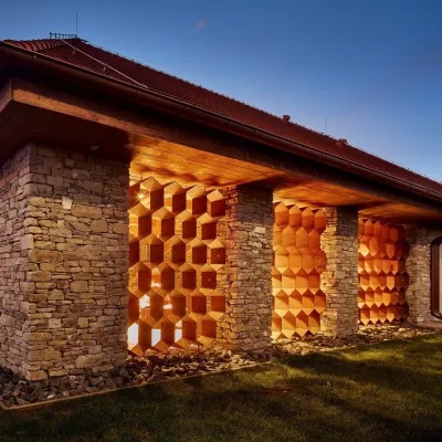 Honey & meaderiesVčelovina meadery, Smolenice: mead and honey beerSmolenice12 km from the centreThis is where the Včelovina meadery works — “a small production with a big heart”, as its founders put it.
 Wine & tastingsJuran z Modry winery: tastings in a Modra wine shopModra16 km from the centreModra is one of the main wine towns of the Little Carpathians: every other courtyard has its own cellar, and rows of vines climb the slopes above the town.
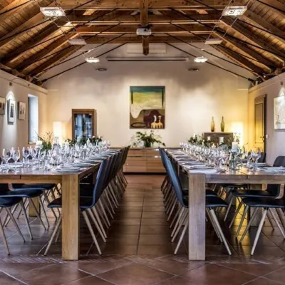 Wine & tastingsKarpatská Perla winery in Šenkvice: tastings and cellarŠenkvice16 km from the centreFrom a home cellar to Winery of the Year Šenkvice is a wine village on the plain below the eastern slopes of the Little Carpathians, between Pezinok and Modra.
 Crafts & workshopsSlovak Folk Majolica in Modra: pottery tour and paintingModra16 km from the centreModra is a small wine town on the eastern slopes of the Little Carpathians, half an hour’s drive from Bratislava.
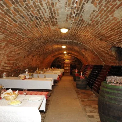 Wine & tastingsHACAJ winery in Pezinok: sparkling wine in a 300-year-old cellarPezinok21 km from the centrePezinok is the centre of the Little Carpathian Wine Route, a town where winegrowers’ houses with deep cellars line the old streets.
Craft nearby
All craft places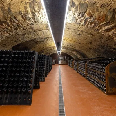 Wine & tastingsVIAJUR winery in Svätý Jur: tastings in the Pálffy cellarsSvätý Jur27 km from the centreWine in old cellars on the edge of Bratislava Svätý Jur is an old wine town at the very foot of the Little Carpathians, just beyond the Bratislava city limits.
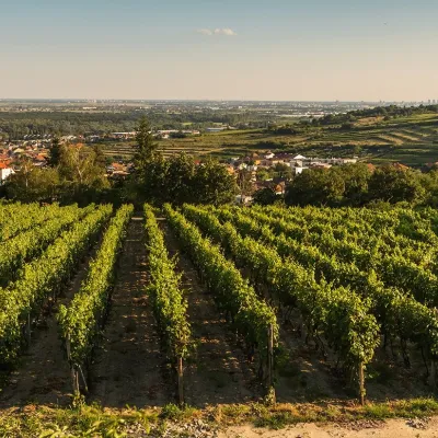 Wine & tastingsDubovský & Grančič Winery, Svätý Jur: tastings and sektSvätý Jur28 km from the centreFrom sixty ares to “Winemaker of the Year” Svätý Jur is an old wine town on the southern slopes of the Little Carpathians, just beyond the Bratislava city limits.
Getting there from Ukraine
Border crossings
- Uzhhorod – Vyšné Nemecké — road, 24/7
- Malyi Bereznyi – Ubľa — road, 24/7 For cars and buses; pedestrians not confirmed by the Ukrainian border service, lorries up to 3.5 t.
- Mali Selmentsi – Veľké Slemence (pedestrian) — pedestrian, 09:00–21:00 Kyiv time Pedestrians and cyclists only; inconvenient for the Tatras without onward transport.
- Chop – Čierna nad Tisou (rail) — rail, 24/7
By car
From Uzhhorod to Žilina ≈330 km, ≈4 h 20 min without queues: Uzhhorod – Vyšné Nemecké → I/19 to Košice → D1 via Prešov, Poprad, Liptovský Mikuláš and Ružomberok (≈17 km on I/18 between D1 sections) → Žilina. To Terchová ≈314 km, ≈4 h 15 min: from the D1 onto I/70 and II/583. From Lviv through Poland: M-10 → Krakovets – Korczowa → A4 to Kraków → S7/DK7 to Chyżne – Trstená → R3, I/59 to Dolný Kubín → II/583 via Terchová to Žilina: to Terchová ≈493 km (≈6 h 30 min), to Žilina ≈518 km (≈7 h). Via the tolled A4 Kraków – Katowice, S1 and D3: ≈533 km, ≈6 h 35 min. The D1 requires an e-vignette (eznamka.sk).
Checked 23.10.2026; border crossing hours and timetables change — check before you travel.
