Șteflești Peak
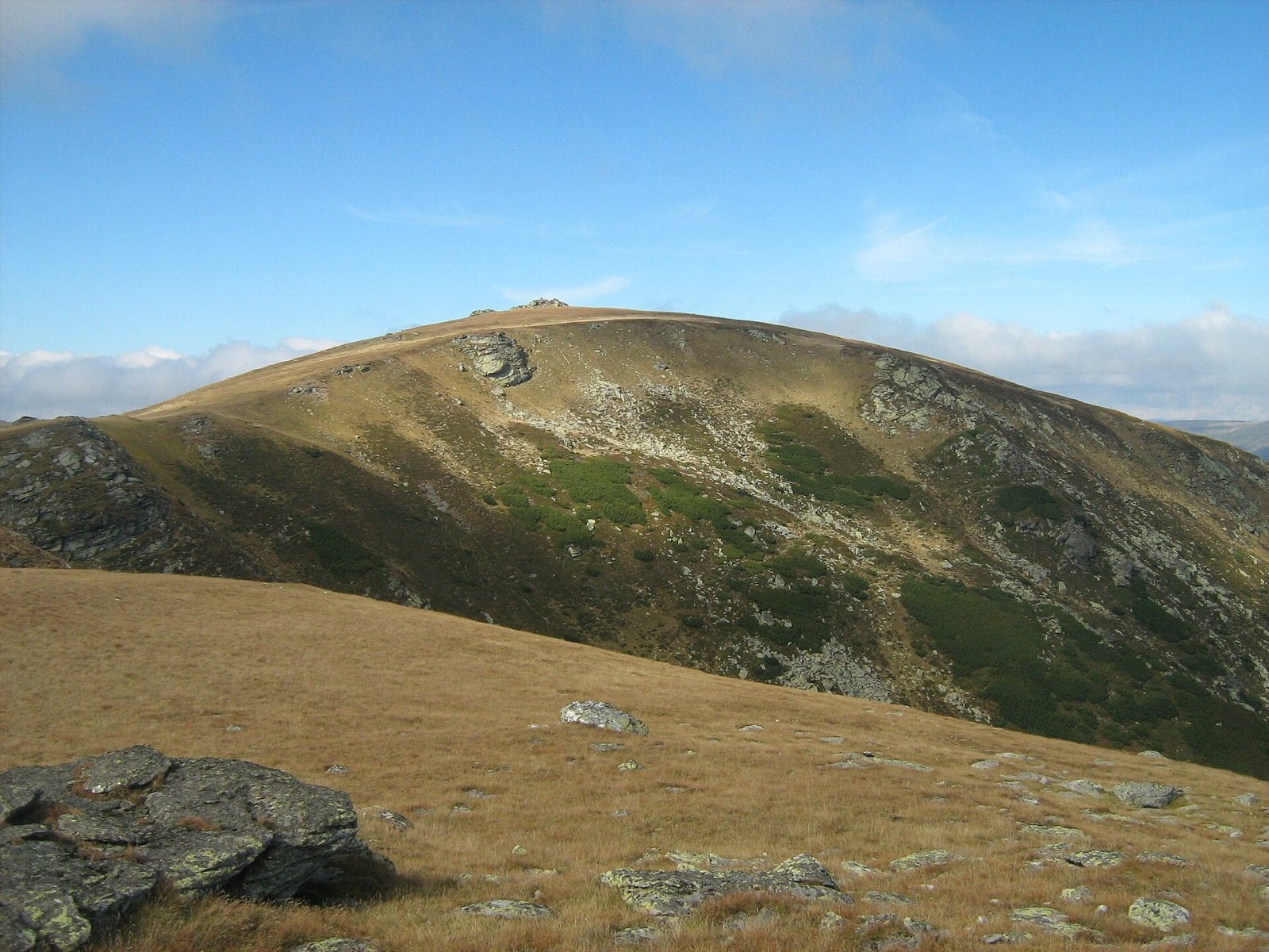
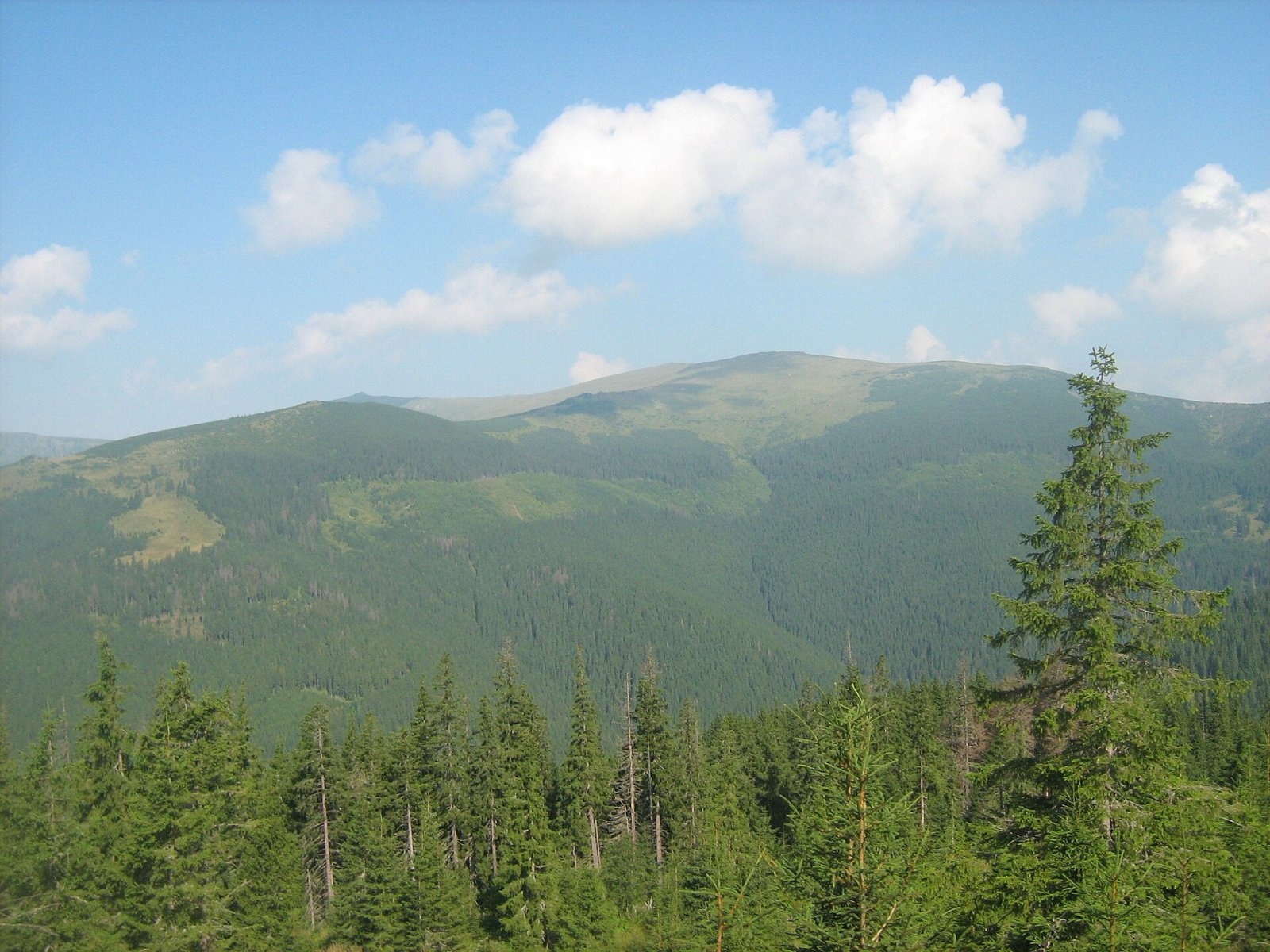
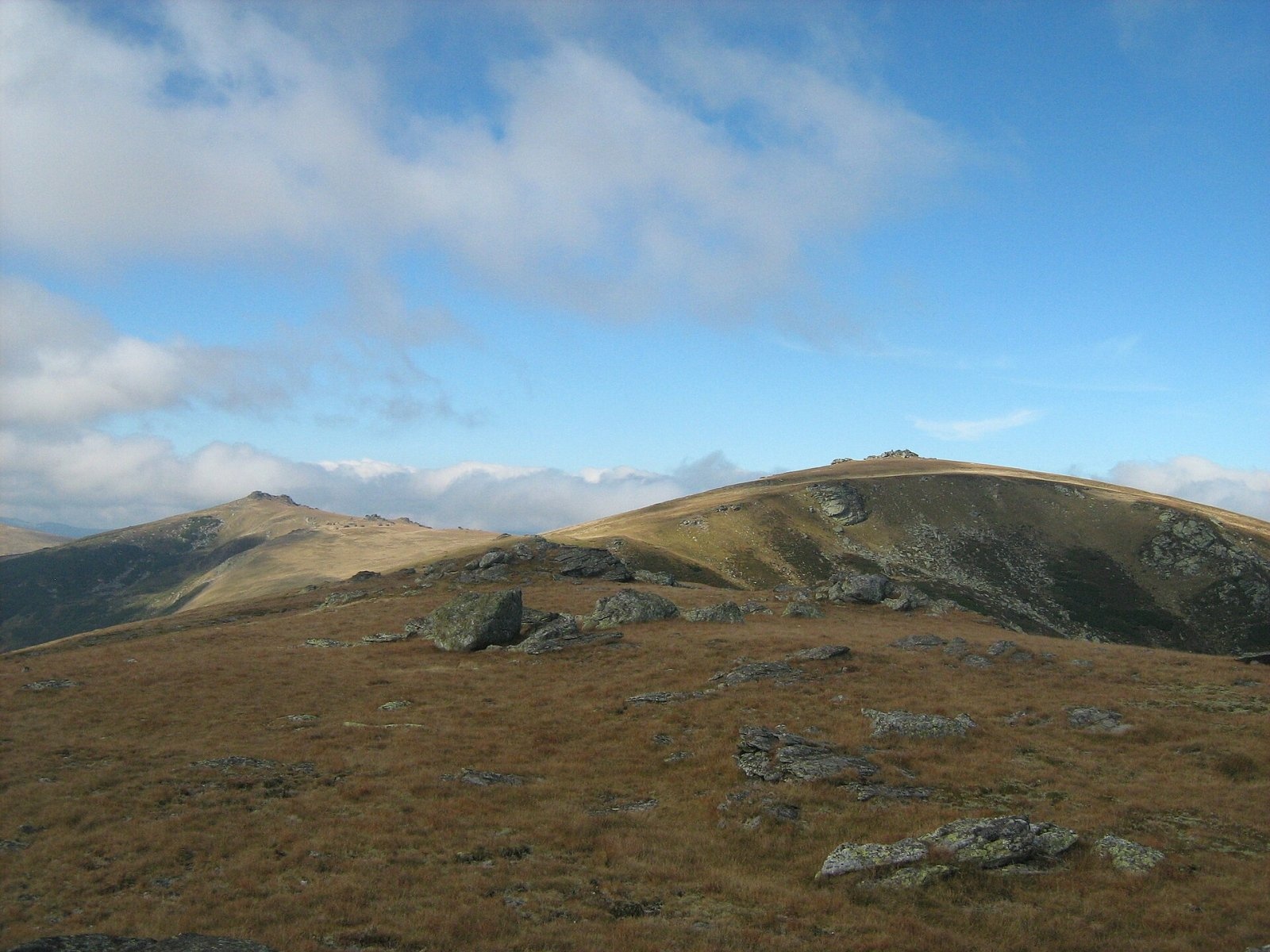
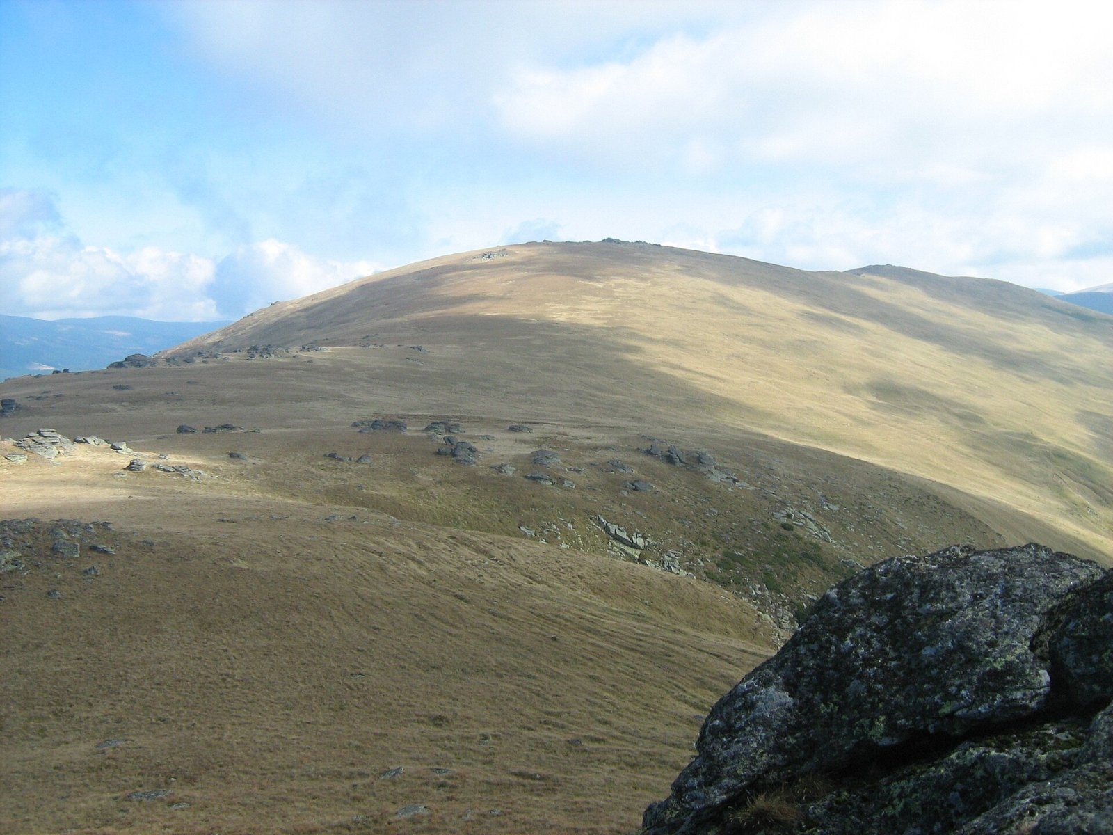
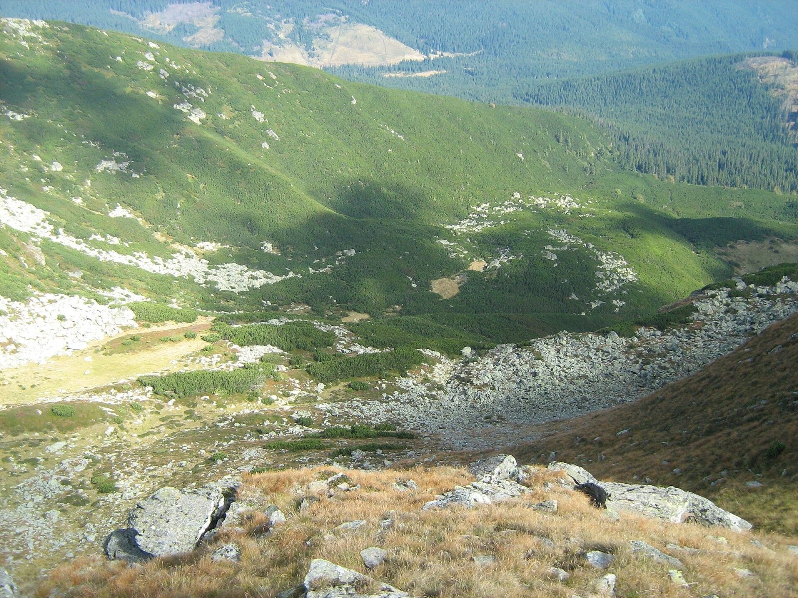
Șteflești Peak (Romanian Vârful Șteflești) is the highest summit of the Lotru Mountains, at 2,242 m, in the Southern Carpathians of Romania. The Lotru Mountains belong to the Parâng group. According to Hungarian Wikipedia, their main ridge follows the border of Sibiu and Vâlcea counties and in the west reaches a little into Alba County. The peak itself, according to Czech Wikipedia, lies in Vâlcea County, about 17 km north-west of Voineasa and 38 km south-west of Sibiu. Its prominence reaches 500 m.
The boundaries of the range are clear. To the north the Frumoasa and Cod valleys separate it from the Cindrel Mountains, to the east the Olt gorge at Turnu Roșu from the Făgăraș and the Cozia massif, to the south the Lotru valley from the Parâng, and to the west it borders the Șureanu Mountains; the dividing valley there carries the DN67C road – the Transalpina. The artificial Lake Vidra lies at the south-western foot. East of the main summit, according to Czech Wikipedia, there is a secondary Șteflești summit (2,212 m), and to the south along the ridge rises Cristești (2,202 m).
How to get there / trails
According to OSM, a trail marked with a red cross leads from the summit via the Șteflești pass to the Frumoasa or Cindrel peaks in the neighbouring Cindrel Mountains. Czech Wikipedia notes that you can reach the summit along the ridge or from the Șteflești saddle (about 1,720 m). Șteflești can thus be combined with a hike to Cindrel, linked by a marked trail over the pass. The distance from villages means long approaches – plan a full day or a multi-day trek.
From the west the mountains can be approached on the Transalpina (DN67C). The high section of this road is closed every cold season; in 2026 it reopened on 29 May; as of November 2026, check the CNAIR announcements.
What you can see from the summit
Czech Wikipedia describes Șteflești as a place with far-reaching views. Photos on Wikimedia Commons show that neighbouring Cindrel (2,244 m) to the north and Cristești peak to the south are clearly visible from the summit, while the ridges of the Lotru Mountains stretch away to the east.
Nature and history
A glacial cirque lies below the summit, and the ridges of the Lotru Mountains carry thickets of dwarf mountain pine, through which paths run in places. From Șteflești the long main ridge of the massif runs east all the way to the Olt gorge; other summits include Balindru Mare (2,207 m) and Piatra Albă (2,178 m).
Șteflești and Cindrel are neighbours of almost identical height (2,242 and 2,244 m), separated by the Șteflești pass, and each is the highest summit of its own range.
Safety, season and rules
The ridges of the Lotru Mountains are open and lonely: they are dangerous in fog and thunderstorms, and snow lies long above 2,000 m. Salvamont advises checking the forecast for the next 24 hours, not hiking alone, telling your family your route, carrying a map, compass, torch, spare battery and warm clothing, noting where you last had phone signal and leaving the ridge at once if a thunderstorm comes.
Bears are common here. Stay on the marked paths, walk in a group and talk, do not hike in the evening or at night, do not keep food in your tent and hang it away from your camp. Sheepdogs near sheepfolds may rush at hikers – do not run, shield yourself with your rucksack. In an emergency call the national dispatch 0SALVAMONT – 0725 826 668 or 112; advice on animal encounters is on the Salvamont România website.
Photos: Cioboata Andrei, CC BY 3.0; Cioboata Andrei, CC BY 3.0; Cioboata Andrei, CC BY 3.0; Cioboata Andrei, CC BY 3.0; Cioboata Andrei, CC BY 3.0; Cioboata Andrei, CC BY 3.0 — Wikimedia Commons.
Getting there from Ukraine
Border crossings
- Porubne – Siret — road and pedestrian, 24/7
- Diakivtsi – Racovăț — road and pedestrian, 24/7 No freight traffic.
- Krasnoilsk – Vicovu de Sus — road and pedestrian, 08:00–20:00 Cars up to 3.5 t and pedestrians only; not 24/7.
- Solotvyno – Sighetu Marmației — road and pedestrian, 24/7 Passenger traffic only: vehicles up to 3.5 t with up to 9 seats, pedestrians.
- Diakove – Halmeu — road, 24/7 No pedestrian crossing.
By car
Rakhiv – Petroșani ≈450 km, ≈6 h 36 min (via Solotvyno – Sighetu Marmației); Ivano-Frankivsk – Petroșani ≈584 km, ≈8 h 55 min (via Solotvyno – Sighetu Marmației); Chernivtsi – Petroșani ≈539 km, ≈9 h 19 min (via Krasnoilsk – Vicovu de Sus). Times without border queues, our road routing (GraphHopper, OSM).
Checked 03.11.2026; border crossing hours and timetables change — check before you travel.
Location on the map
Water and shelter nearby
- Spring below Vârf secundar Șteflești (south slope), 1 838 m1.7 km · Not verified · 1 838 m
- Spring below Vârf secundar Șteflești (south slope), 1 842 m2.4 km · Not verified · 1 842 m
Wildlife nearby
AllComments
Nearby attractions
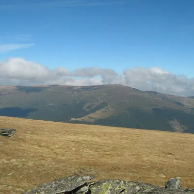 PeakCindrel Peakaltitude 2 244 m5.2 km from Șteflești PeakCindrel Peak (Romanian Vârful Cindrel, also Cândrel) is the highest summit of the Cindrel Mountains, at 2,244 m (some sources give 2,245 m), in the centre of the...
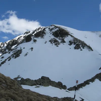 PeakCârjaaltitude 2 405 m29 km from Șteflești PeakCârja (Romanian Vârful Cârja) is a 2,405 m summit in the Parâng Mountains of the Southern Carpathians in Romania.
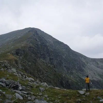 PeakParângul Marealtitude 2 519 m30 km from Șteflești PeakParângul Mare (Romanian: Vârful Parângul Mare, «Great Parâng»; also Parângu Mare) is the highest summit of the Parâng Mountains in the Southern Carpathians, 2,519 m...
