Cârja
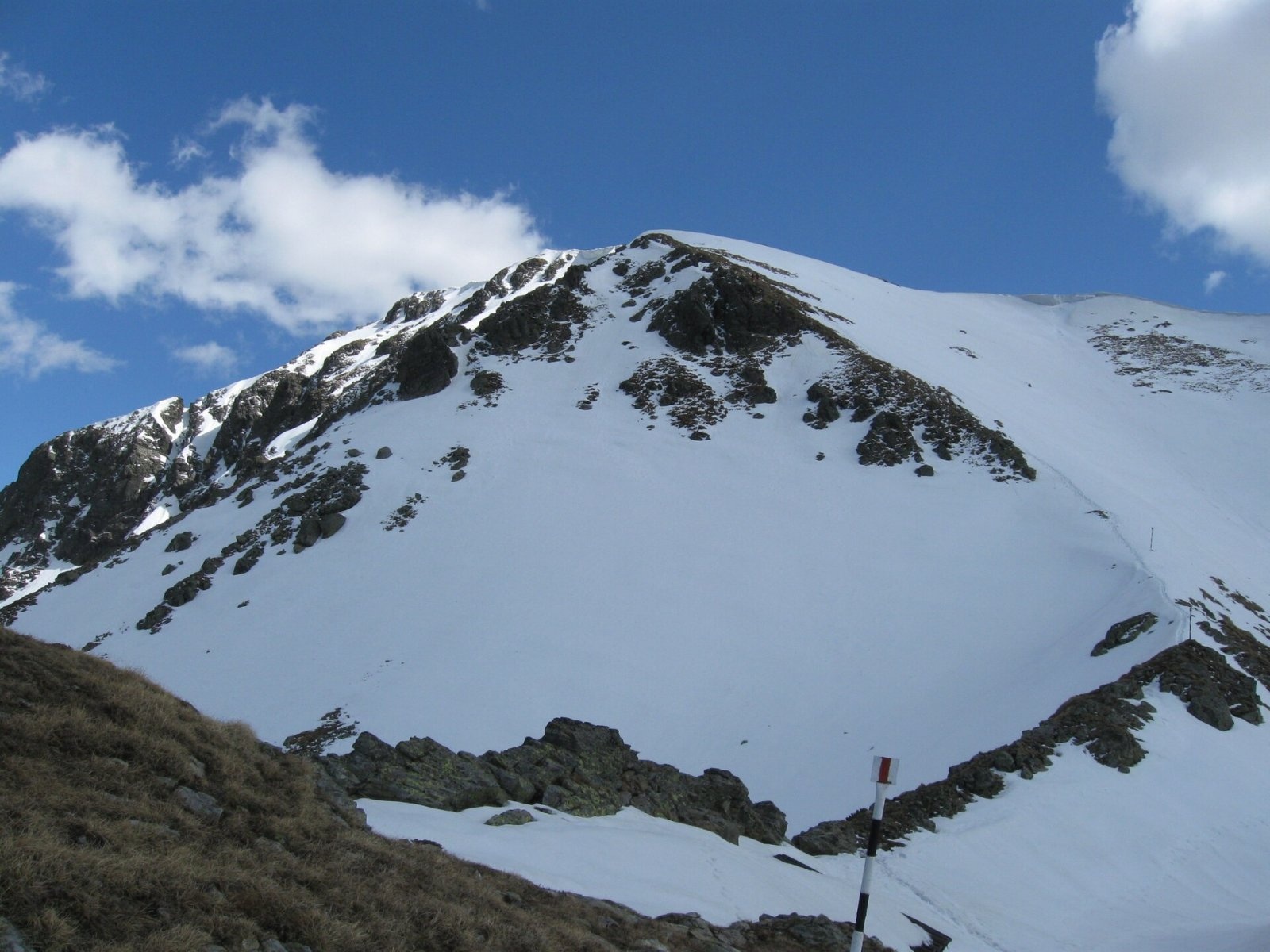
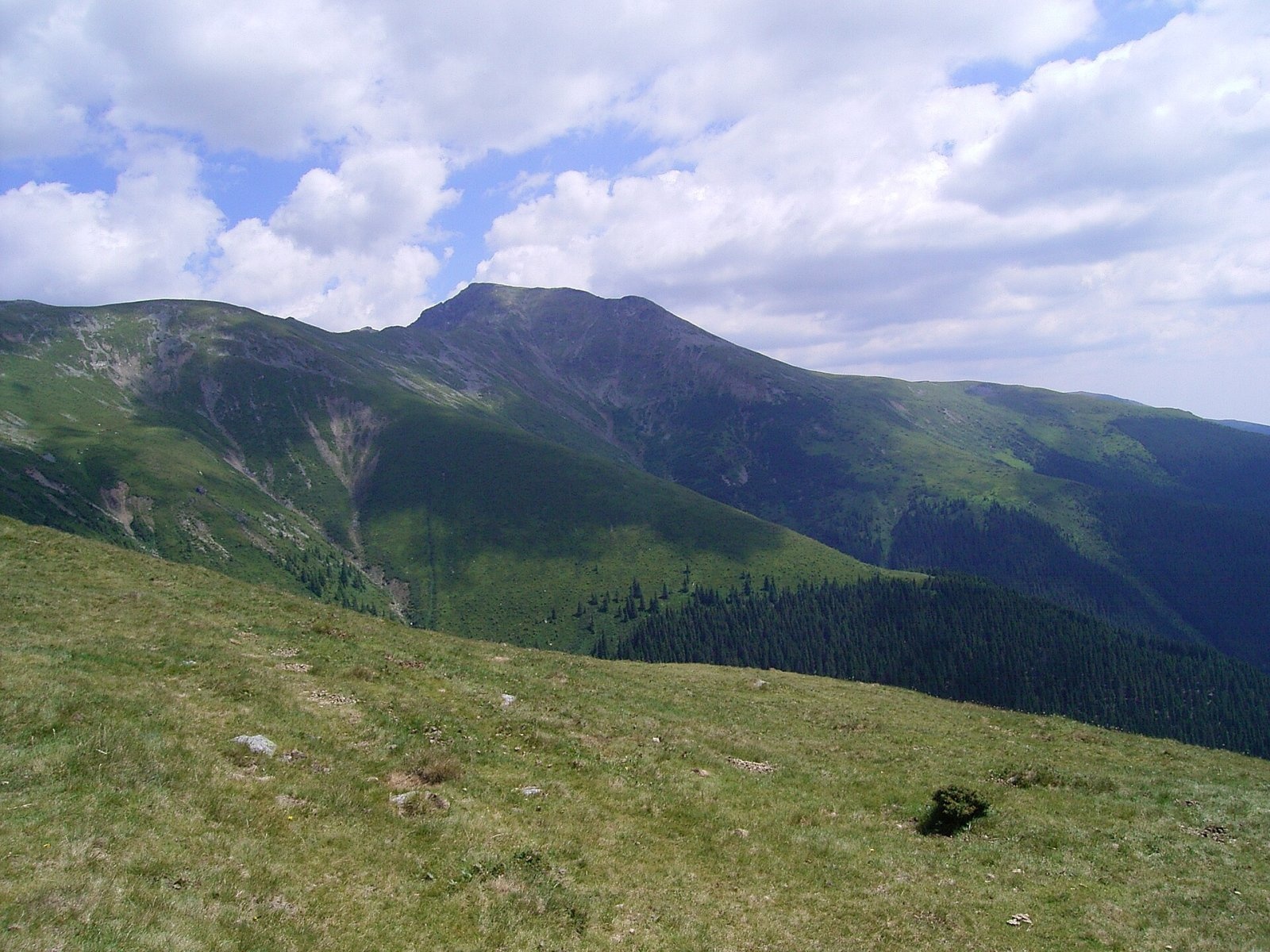
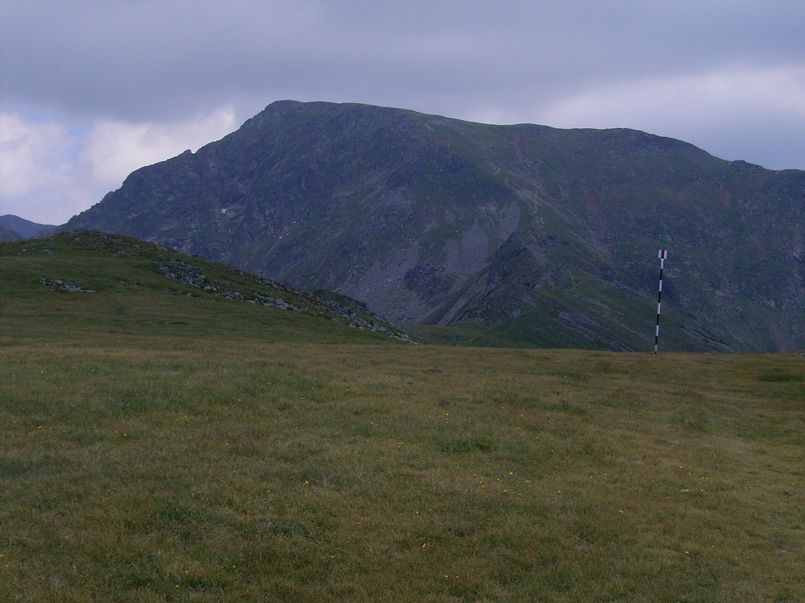
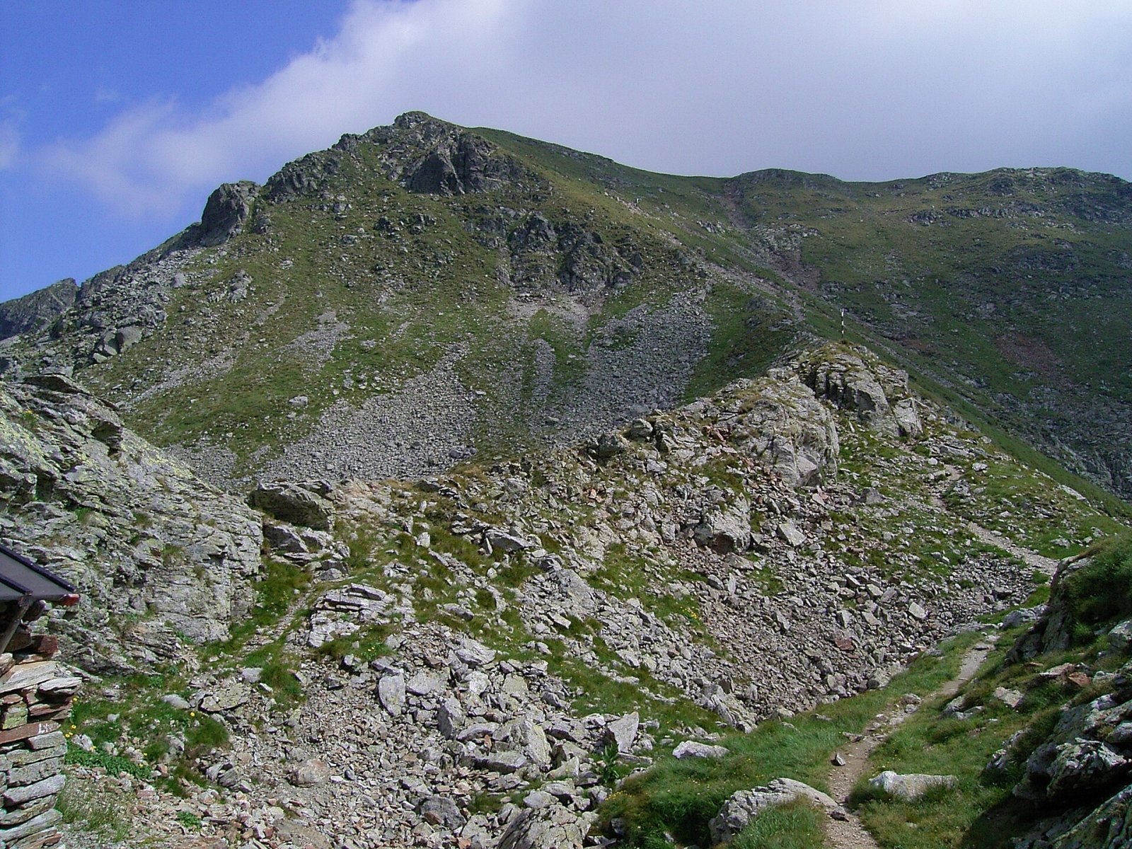
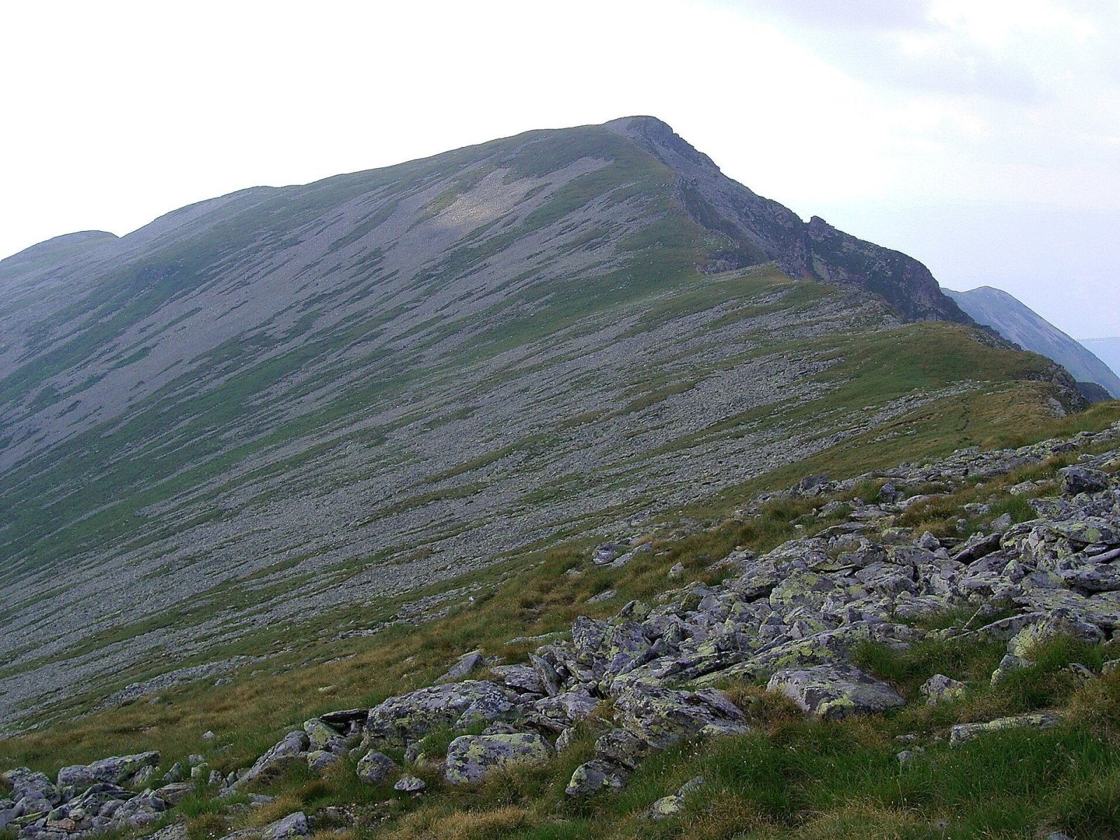
Cârja (Romanian Vârful Cârja) is a 2,405 m summit in the Parâng Mountains of the Southern Carpathians in Romania. According to Romanian Wikipedia, only one Parâng summit exceeds 2,500 m – Parângu Mare (2,519 m) – and four more rise above 2,400 m: Gemănarea, Stoinița, Slivei and Cârja. The peak stands on the main ridge above the Jieț valley, in Hunedoara County; the nearest villages are Jieț (about 10 km as the crow flies), Slătinioara and Tirici.
The Parâng is one of Romania's highest ranges and, according to English Wikipedia, the second-largest in the Romanian Carpathians after the Făgăraș. It closes the Jiu Valley to the east, with the town of Petroșani at its north-western edge.
How to get there / routes
Romanian Wikipedia names two main approaches: from Parângul Mic, where the chairlift of the ski area above Petroșani ends, and from the south, from Stoinița peak, along the ridge path. A regional route marked with a red stripe passes 45 m from the summit, running from Petroșani via Parângu Mare to the Curmătura Oltețului pass, so Cârja fits easily into a traverse of the main ridge in either direction.
According to the same source, a small stone refuge stands at the northern foot of the peak; OSM also marks two mountain huts 2.7–2.8 km from the summit. The sources give no walking times or distances, so plan the route with a map, bearing in mind that this is high, waterless ridge terrain.
What you see from the summit
A photo on Wikimedia Commons taken from Cârja shows the neighbouring Mija peak (2,372 m). By position, the ridge runs south-east to Stoinița and Gemănarea, and below to the north lie glacial cirques with tarns. The sources give no more detailed description of the panorama.
Nature and history
The western, higher part of the Parâng main ridge was shaped by glaciers. Romanian Wikipedia lists Cârja among the glacial complexes of the massif and notes that on the northern slopes, including below Cârja, the cirques are much better developed than on the southern side. The most spectacular cirques formed between Cârja and Mija, near the Custura saddle, where Lake Cârja, also called Tăul Custurii, lies. The longest glacial valley of the range is the Jieț, about 8 km.
The massif consists mostly of crystalline rocks with granite outcrops; in the south there are limestones with caves and gorges. According to Romanian Wikipedia, tourism in the Parâng began in the late 19th century thanks to the Transylvanian Carpathian Society (SKV), while the ski area above Petroșani developed in the second half of the 20th century.
Safety, season and rules
The climate is harsh. According to English Wikipedia, above 2,000 m the mean annual temperature is below zero, westerly winds prevail at 8–10 m/s, and in winter they reach 15 m/s or more on the ridges. Snow lies for about 200 days a year at altitude, so in winter the waymarks disappear under it and avalanches are possible on the steep cirque slopes. In summer June is the wettest month – start early and leave the ridge at the first sign of a thunderstorm. Salvamont advises not to hike alone, to tell someone your route and to carry a map, a torch and a charged phone.
Bears are common in the Parâng. Stay on the marked paths, talk as you walk so that an animal hears you in advance, do not hike in the evening or at night and do not keep food in your tent. Sheepdogs near sheepfolds may rush at people – do not run, stop and shield yourself with your rucksack. In an emergency call the national dispatch 0SALVAMONT – 0725 826 668 or 112; advice on animal encounters is on the Salvamont România website.
Photos: Thalpha, CC BY-SA 3.0; Hardsr, Public domain; Hardsr, Public domain; Hardsr, Public domain; Hardsr, Public domain; unknown, CC BY-SA 3.0; Relu popescu, CC BY-SA 4.0 — Wikimedia Commons.
Getting there from Ukraine
Border crossings
- Porubne – Siret — road and pedestrian, 24/7
- Diakivtsi – Racovăț — road and pedestrian, 24/7 No freight traffic.
- Krasnoilsk – Vicovu de Sus — road and pedestrian, 08:00–20:00 Cars up to 3.5 t and pedestrians only; not 24/7.
- Solotvyno – Sighetu Marmației — road and pedestrian, 24/7 Passenger traffic only: vehicles up to 3.5 t with up to 9 seats, pedestrians.
- Diakove – Halmeu — road, 24/7 No pedestrian crossing.
By car
Rakhiv – Petroșani ≈450 km, ≈6 h 36 min (via Solotvyno – Sighetu Marmației); Ivano-Frankivsk – Petroșani ≈584 km, ≈8 h 55 min (via Solotvyno – Sighetu Marmației); Chernivtsi – Petroșani ≈539 km, ≈9 h 19 min (via Krasnoilsk – Vicovu de Sus). Times without border queues, our road routing (GraphHopper, OSM).
Checked 03.11.2026; border crossing hours and timetables change — check before you travel.
Location on the map
Water and shelter nearby
- Spring below Scurtu (east slope)1.4 km · Not verified · 1 954 m
- Spring below Slivei (east slope), 1 901 m2.4 km · Not verified · 1 901 m
- Spring below Slivei (east slope), 1 908 m2.6 km · Not verified · 1 908 m
- Hut below Parângul Mare2.8 km · Not verified · 2 466 m
- Agățat Hut2.8 km · Not verified · 1 682 m
- Spring below Slivei (north-east slope)2.8 km · Not verified · 1 678 m
Comments
Nearby attractions
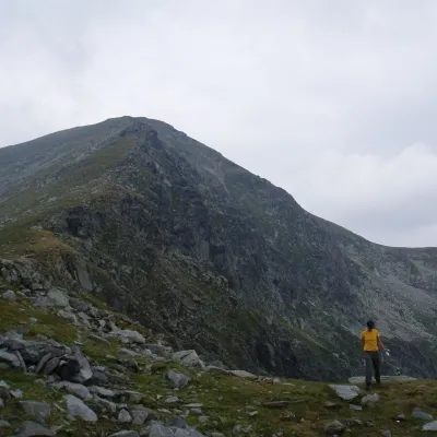 PeakParângul Marealtitude 2 519 m2.9 km from CârjaParângul Mare (Romanian: Vârful Parângul Mare, «Great Parâng»; also Parângu Mare) is the highest summit of the Parâng Mountains in the Southern Carpathians, 2,519 m...
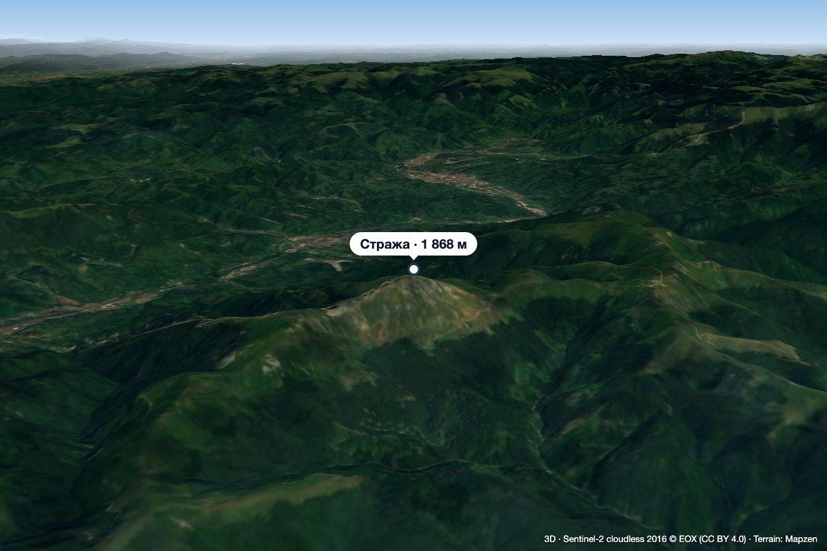 PeakStrajaJiu-Paroșenialtitude 1 868 m21 km from CârjaStraja (Romanian Vârful Straja) is a 1,868 m summit in the Vâlcan Mountains in the western Southern Carpathians.
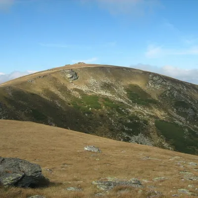 PeakȘteflești Peakaltitude 2 242 m29 km from CârjaȘteflești Peak (Romanian Vârful Șteflești) is the highest summit of the Lotru Mountains, at 2,242 m, in the Southern Carpathians of Romania.
