Smrdáky
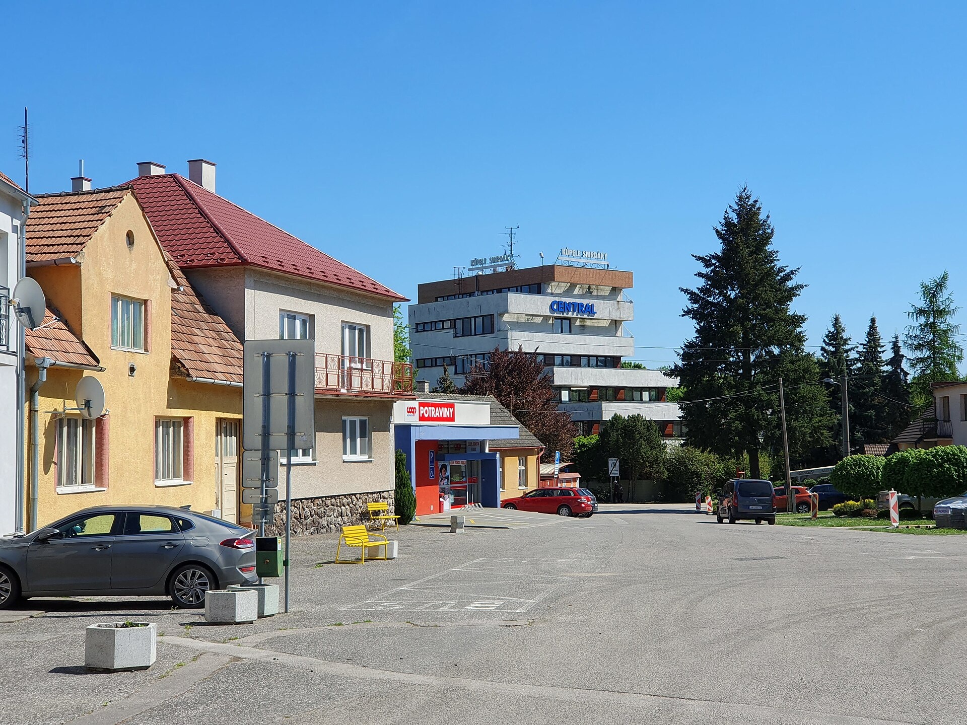
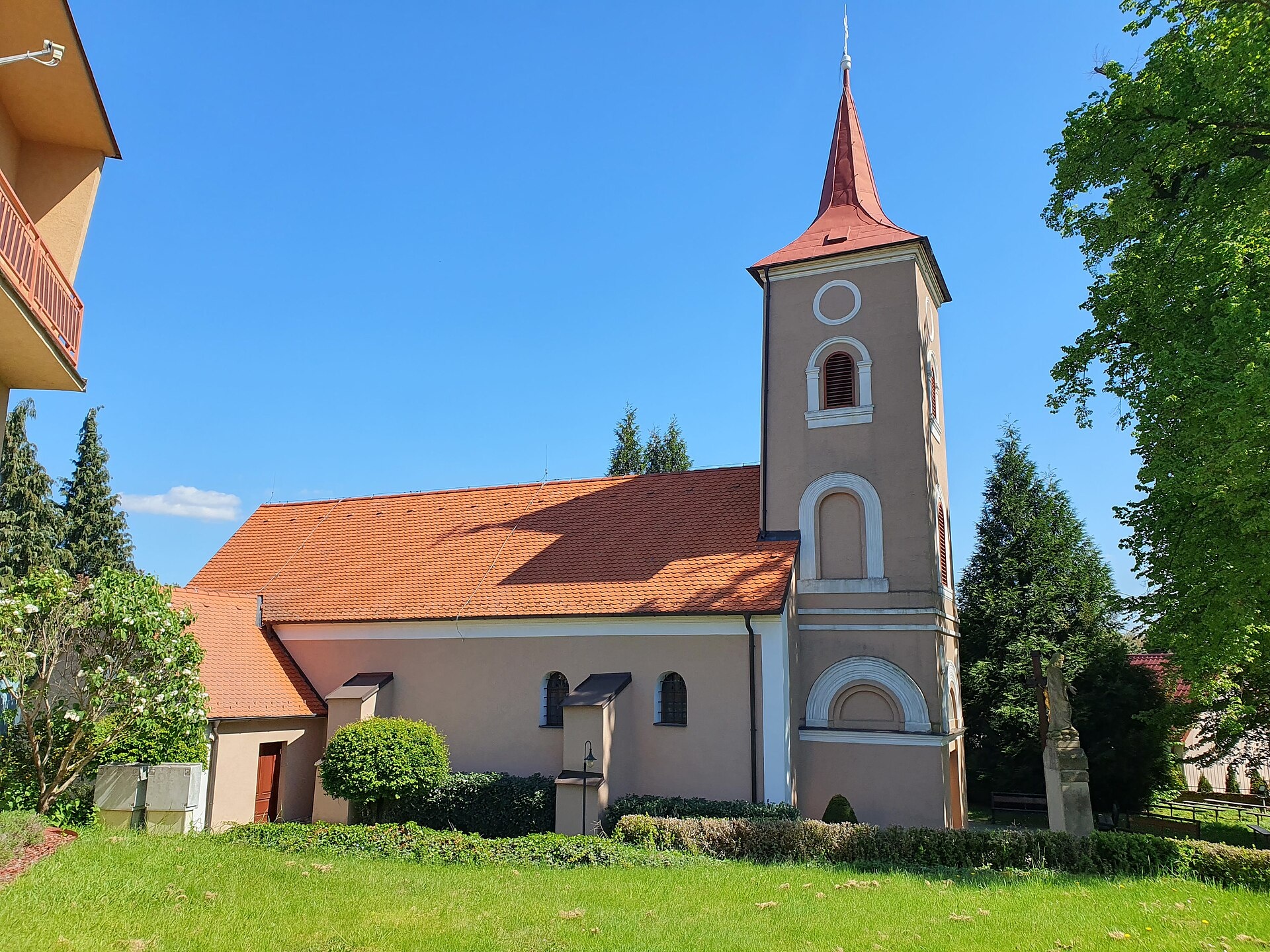
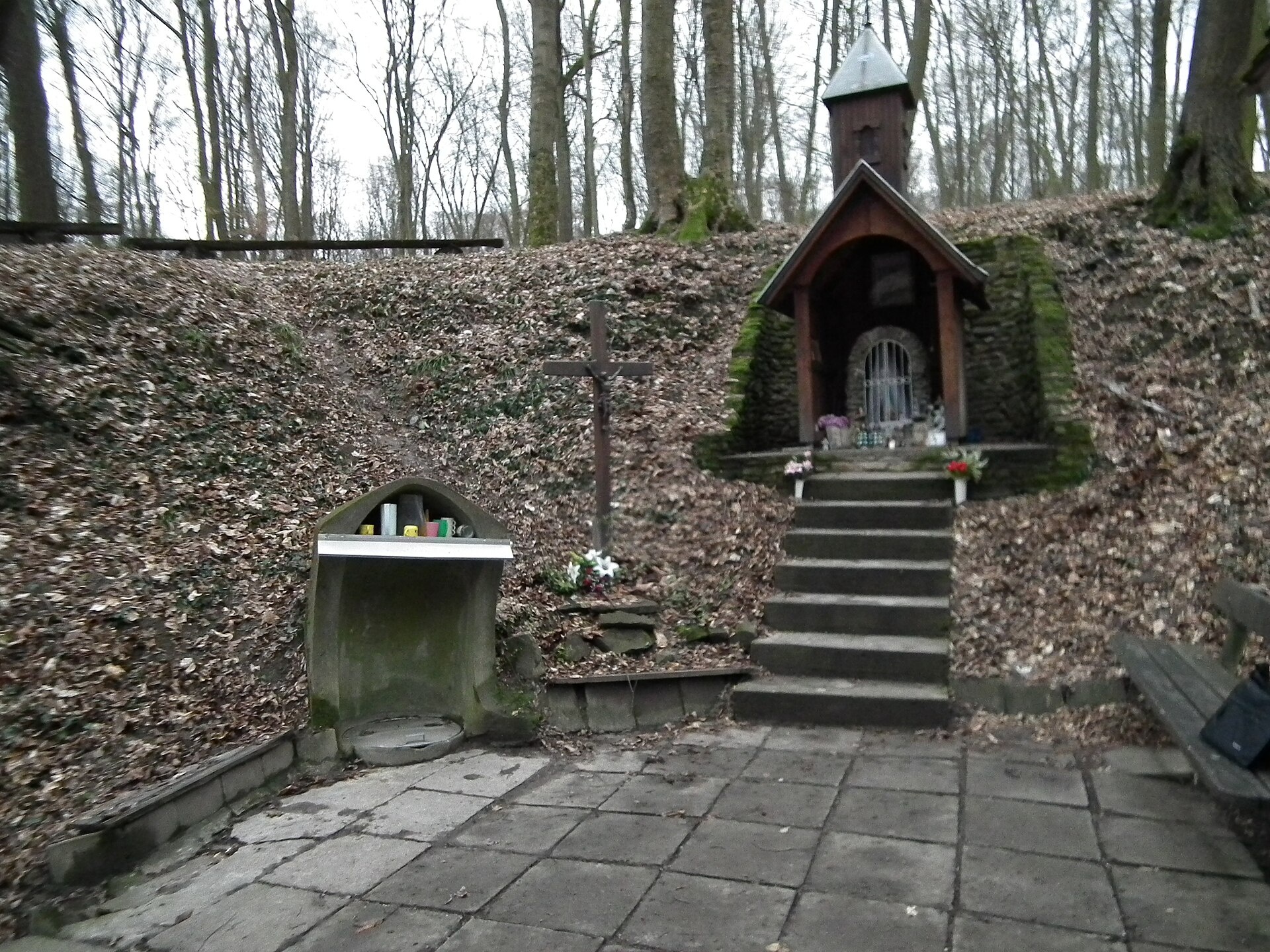
Photos: Akul59, CC BY-SA 4.0 (Wikimedia Commons); Akul59, CC BY-SA 4.0 (Wikimedia Commons); ManseLubo, CC BY-SA 4.0 (Wikimedia Commons)
Smrdáky is a village in Slovakia.
Elevation: about 241 m above sea level. Population: 558 (2025).
Here and nearby on the site: 1 spa or thermal pool.
Facts: Wikidata, OpenStreetMap. More on Wikipedia
Trails nearby
All trails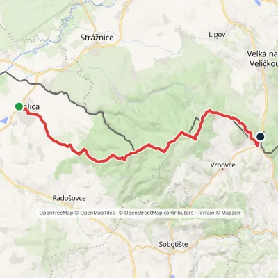 HardMulti-dayMarkedZáhorácka magistrálaElevation profile171–618 m32.5 kmascent 763 m≈ 9.5 h walking9.3 km from the centre
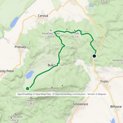 ModerateOne-dayMarkedBrezinky, hut Buková, stopElevation profile243–424 m15.2 kmascent 276 m≈ 4.5 h walking18 km from the centre
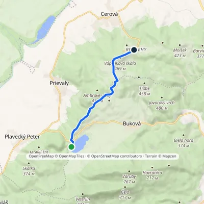 EasyOne-dayMarkedRozbehy Buková Reservoir, damElevation profile288–469 m6.4 kmascent 243 m≈ 2 h walking18 km from the centre
Peaks nearby
All peaks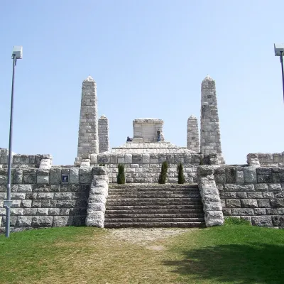 PeakBradloPriepasnéaltitude 543 m20 km from the centreBradlo (Hungarian Bradló) is a 543 m limestone summit, the highest point of the Myjava Hills (Myjavská pahorkatina) in western Slovakia.
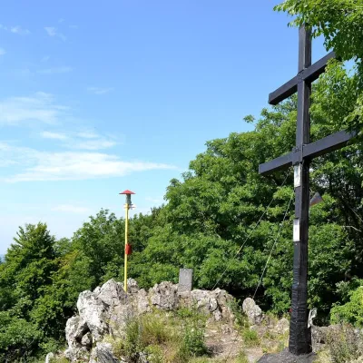 PeakZárubyBukováaltitude 767 m23 km from the centreZáruby (formerly also Ostrý vrch, German Scharfenstein) is the highest peak of the Little Carpathians at 767 m (some signposts say 768 m).
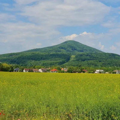 PeakHavranicaBukováaltitude 717 m23 km from the centreHavranica is a 717 m summit in the Little Carpathians (Malé Karpaty) in western Slovakia. It rises above the village of Smolenice, about 18 km north-west of Trnava.
What to visit
All
Craft nearby
All craft places
Spas and thermal pools nearby
Getting there from Ukraine
Border crossings
- Uzhhorod – Vyšné Nemecké — road, 24/7
- Malyi Bereznyi – Ubľa — road, 24/7 For cars and buses; pedestrians not confirmed by the Ukrainian border service, lorries up to 3.5 t.
- Mali Selmentsi – Veľké Slemence (pedestrian) — pedestrian, 09:00–21:00 Kyiv time Pedestrians and cyclists only; inconvenient for the Tatras without onward transport.
- Chop – Čierna nad Tisou (rail) — rail, 24/7
By car
From Uzhhorod to Žilina ≈330 km, ≈4 h 20 min without queues: Uzhhorod – Vyšné Nemecké → I/19 to Košice → D1 via Prešov, Poprad, Liptovský Mikuláš and Ružomberok (≈17 km on I/18 between D1 sections) → Žilina. To Terchová ≈314 km, ≈4 h 15 min: from the D1 onto I/70 and II/583. From Lviv through Poland: M-10 → Krakovets – Korczowa → A4 to Kraków → S7/DK7 to Chyżne – Trstená → R3, I/59 to Dolný Kubín → II/583 via Terchová to Žilina: to Terchová ≈493 km (≈6 h 30 min), to Žilina ≈518 km (≈7 h). Via the tolled A4 Kraków – Katowice, S1 and D3: ≈533 km, ≈6 h 35 min. The D1 requires an e-vignette (eznamka.sk).
Checked 23.10.2026; border crossing hours and timetables change — check before you travel.
