Șimon – Poiana Guțanu
Trail map
Route, springs and shelters: © OpenStreetMap contributors (ODbL) · elevation: Copernicus DEM © DLR e.V., © Airbus DS · Data & licences
About the trail
Route Șimon – Poiana Guțanu. Has blue marking (local route). Waymarking data: OpenStreetMap (© OpenStreetMap contributors, ODbL).
Marked local tourist route. Marking is blue, sign — vertical stripe on a white background. Length of the route — 11.5 km. Location: mountain range — Bucegi, Romania.
At a glance
A one-day route of 11.5 km with 730 m of ascent from Șimon to Poiana Guțanu. Estimated walking time: about 4 h, not counting stops. Difficulty: moderate. Waymarking: blue.
Route stages
- 0–8 kmGentle ups and downs at 760–1,060 m
- 8–12 kmClimb of 420 m (up to 1,480 m)
Steepest kilometre: km 10–11, a climb of 170 m (≈17%).
Water and overnight stays
Our map shows no springs near the trail — bring your own water (at least 2.5 l).
When to go
Best time: May to October. In winter deep snow is possible, so experience and winter gear are needed.
Getting there
Start: Șimon. This is a one-way route: the finish is 10 km from the start in a straight line, so plan your way back in advance.
FAQ
- How long does the route take?
- Estimated walking time: about 4 h, not counting stops.
- Is there water on the route?
- Our map shows no springs near the trail — bring your own water (at least 2.5 l).
Comments
Trails nearby
All trails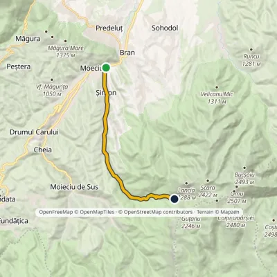 ModerateOne-dayMarkedBran Poiana GauraElevation profile762–1 512 m11.6 kmascent 749 m≈ 4.5 h walking
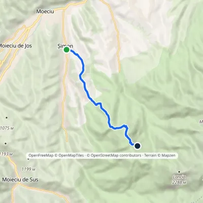 ModerateOne-dayMarkedȘimon Bălăban RidgeElevation profile811–1 641 m6.6 kmascent 849 m≈ 3.5 h walking
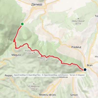 ModerateOne-dayMarkedGura Râului Hut BranElevation profile748–1 375 m10.3 kmascent 669 m≈ 4 h walking
