Bran
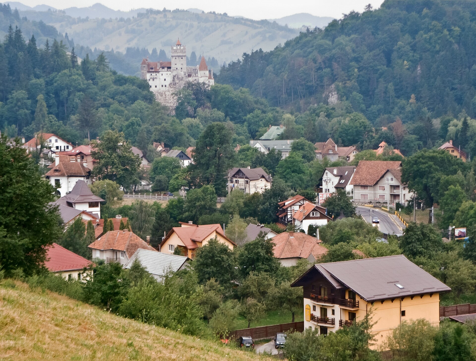
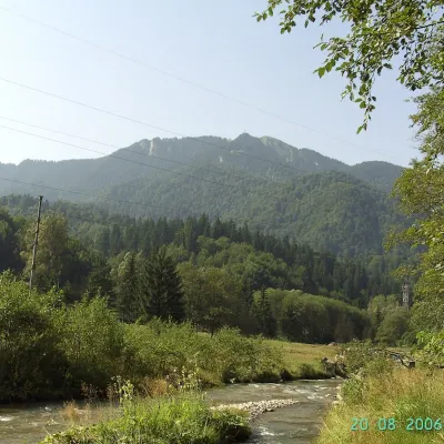
Photos: Myrabella, CC BY-SA 3.0 (Wikimedia Commons)
Bran is a village and the seat of the commune of the same name in Brașov County, Transylvania, at 763 m between the Bucegi and Piatra Craiului massifs. The 2021 census counted 1,596 inhabitants.
The name is of Slavic origin and means “gate”. A first fortification of the Teutonic Order stood here in the early 13th century, and in 1377 the Saxons of Brașov were allowed to build a stone castle — today's Bran Castle.
Three long ascents to the Bucegi plateau and the Omu hut start in Bran on the site: “Bran – Țigănești Saddle – Omu Hut”, “Bran – Scara Peak – Omu Hut” and “Bran – Poiana Gaura – Omu Hut”, plus the shorter “Bran – Poiana Gaura”. The crossing from Piatra Craiului, “Gura Râului Hut – Bran”, ends here.
Getting there from Ukraine
The nearest place we have road figures for is Bușteni (≈17 km from here in a straight line): Chernivtsi – Bușteni ≈426 km, ≈7 h 32 min (via Diakivtsi – Racovăț); Rakhiv – Bușteni ≈454 km, ≈8 h 01 min (via Solotvyno – Sighetu Marmației). Times are without border queues, by our road routing. Romanian national roads require an electronic vignette (rovinieta).
Sources: Wikipedia, Wikidata, OpenStreetMap, Karpaty.rocks data. More on Wikipedia
What's nearby
Trails nearby
All trails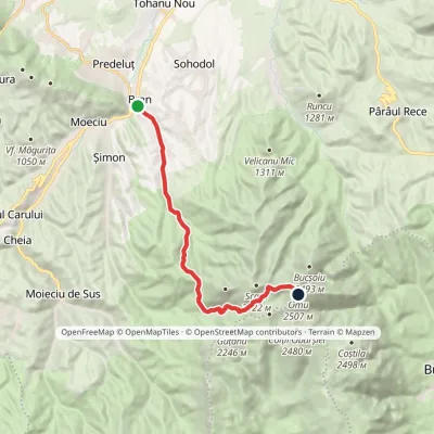 HardTwo-dayMarkedBran Omu Hutvia Poiana GauraElevation profile762–2 505 m15.5 kmascent 1 865 m≈ 7.5 h walkingunder 1 km from the centre
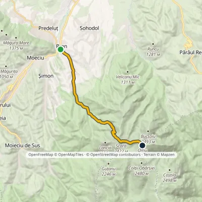 HardTwo-dayMarkedBran Omu Hutvia Scara PeakElevation profile762–2 505 m13 kmascent 1 841 m≈ 7 h walkingunder 1 km from the centre
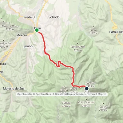 HardTwo-dayMarkedBran Omu Hutvia Țigănești SaddleElevation profile762–2 505 m15 kmascent 1 847 m≈ 7.5 h walkingunder 1 km from the centre
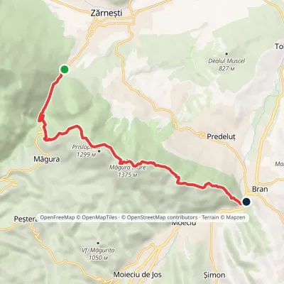 ModerateOne-dayMarkedGura Râului Hut BranElevation profile748–1 375 m10.3 kmascent 669 m≈ 4 h walkingunder 1 km from the centre
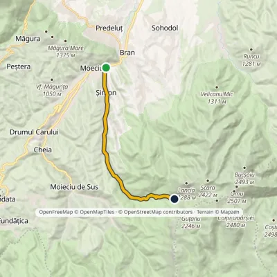 ModerateOne-dayMarkedBran Poiana GauraElevation profile762–1 512 m11.6 kmascent 749 m≈ 4.5 h walking1.4 km from the centre
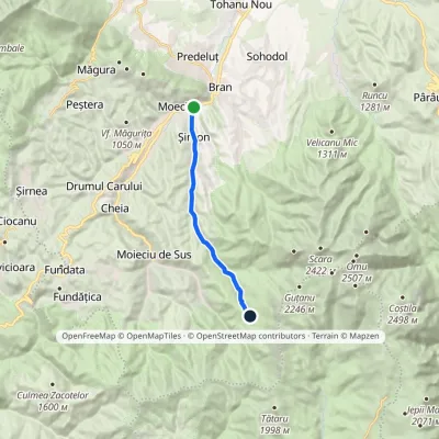 ModerateOne-dayMarkedȘimon Poiana GuțanuElevation profile762–1 492 m11.5 kmascent 730 m≈ 4.5 h walking1.4 km from the centre
Peaks nearby
All peaks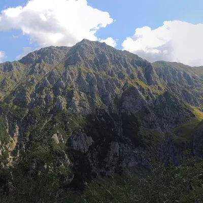 PeakBucșoiuPârâul Recealtitude 2 492 m9.8 km from the centreBucșoiu (Romanian Vârful Bucșoiu) is a 2,492 m summit in the northern part of the Bucegi Mountains. According to Romanian Wikipedia it is the third-highest peak of the...
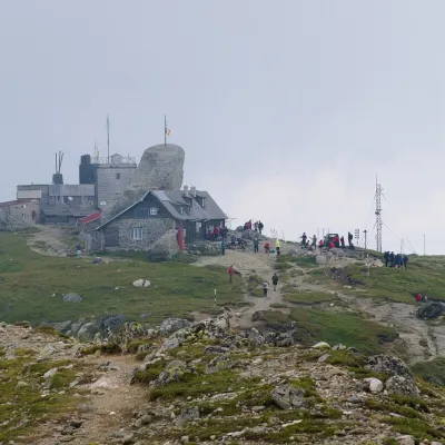 PeakOmu PeakBuștenialtitude 2 514 m10 km from the centre5 trails to the topOmu Peak (Romanian Vârful Omu, also Omul) is the highest summit of the Bucegi Mountains in the Southern Carpathians of Romania.
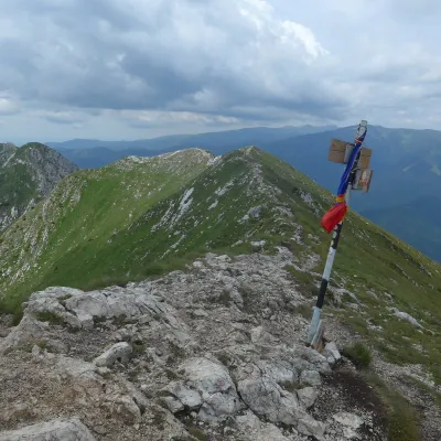 PeakLa OmPeșteraaltitude 2 238 m13 km from the centre1 trail to the topLa Om (Romanian Vârful La Om, also Piscul Baciului – “the shepherd's peak”) is the highest summit of the Piatra Craiului massif in the Southern Carpathians of Romania,...
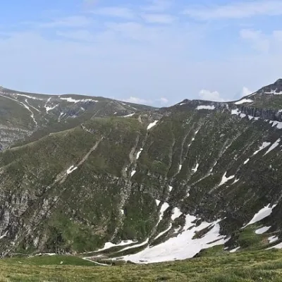 PeakCoștila PeakBuștenialtitude 2 490 m13 km from the centreCoștila Peak (Romanian Vârful Coștila) is a 2,490 m summit in the Bucegi Mountains of the Southern Carpathians in Romania.
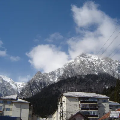 PeakCaraiman PeakBuștenialtitude 2 384 m15 km from the centreCaraiman Peak (Romanian Vârful Caraiman) is a 2,384 m summit in the Bucegi Mountains of the Southern Carpathians in Romania.
 PeakPostăvarulPoiana Brașovaltitude 1 799 m16 km from the centrePostăvarul (Romanian Vârful Postăvarul, popularly Postăvaru, German Schuler, Hungarian Keresztényhavas) is a 1,799 m summit, the highest peak of the small Postăvarul...
Huts, shelters and springs nearby
Getting there from Ukraine
Border crossings
- Porubne – Siret — road and pedestrian, 24/7
- Diakivtsi – Racovăț — road and pedestrian, 24/7 No freight traffic.
- Krasnoilsk – Vicovu de Sus — road and pedestrian, 08:00–20:00 Cars up to 3.5 t and pedestrians only; not 24/7.
- Solotvyno – Sighetu Marmației — road and pedestrian, 24/7 Passenger traffic only: vehicles up to 3.5 t with up to 9 seats, pedestrians.
- Diakove – Halmeu — road, 24/7 No pedestrian crossing.
By car
Chernivtsi – Bușteni ≈426 km, ≈7 h 32 min (via Diakivtsi – Racovăț); Rakhiv – Bușteni ≈454 km, ≈8 h 01 min (via Solotvyno – Sighetu Marmației); Uzhhorod – Bușteni ≈557 km, ≈9 h 15 min (via Diakove – Halmeu). Times without border queues, our road routing (GraphHopper, OSM).
Checked 03.11.2026; border crossing hours and timetables change — check before you travel.
