Sedlo Čergov, huts – Hertník, stop
Trail map
Route, springs and shelters: © OpenStreetMap contributors (ODbL) · elevation: Copernicus DEM © DLR e.V., © Airbus DS · Data & licences
About the trail
Route Sedlo Čergov, huts – Hertník, stop. Has green marking (regional route №5708b, KST). Waymarking data: OpenStreetMap (© OpenStreetMap contributors, ODbL).
Officially marked regional tourist route No. 5708b. The marking is green, the sign is a horizontal stripe on a white background. Marked and maintained by: KST. Length of the route — 9.3 km. Location: mountain range — Nizky Beskid, Slovakia.
At a glance
A one-day route of 9.3 km with 600 m of ascent from Sedlo Čergov, huts to Hertník, stop. Estimated walking time: about 3.5 h, not counting stops. Difficulty: moderate. Waymarking: green.
Route stages
- 0–4 kmGentle ups and downs at 380–510 m
- 4–7.5 kmClimb of 420 m (up to 931 m)
- 7.5–9.5 kmGentle ups and downs at 900–950 m
Steepest kilometre: km 4.5–5.5, a climb of 140 m (≈14%).
Water and overnight stays
A spring near the trail: at km 9.5. There are no springs between km 0 and 9.5 — carry at least 2 l of water.
Huts and shelters near the trail: Čergov Hut (km 9.5).
When to go
The route can be walked most of the year; it is most comfortable from April to October.
Getting there
Start: Sedlo Čergov, huts. This is a one-way route: the finish is 7 km from the start in a straight line, so plan your way back in advance.
FAQ
- How long does the route take?
- Estimated walking time: about 3.5 h, not counting stops.
- Is there water on the route?
- A spring near the trail: at km 9.5. There are no springs between km 0 and 9.5 — carry at least 2 l of water.
- Where can I stay overnight?
- Huts and shelters near the trail: Čergov Hut (km 9.5).
Water and shelter on the route
- Čergov Hutkm 9.3 from the start · 60 m off the path · Standing · 927 m
- Spring below Kalisko Passkm 9.3 from the start · 230 m off the path · Not verified · 861 m
Comments
Trails nearby
All trails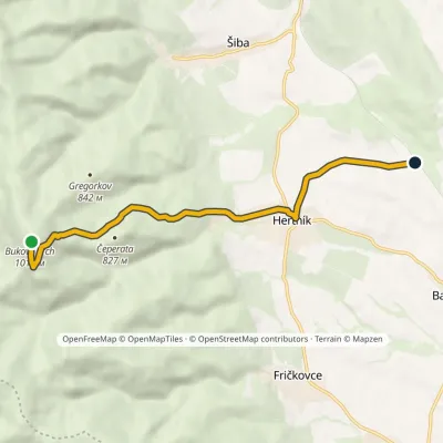
Craft nearby
All craft places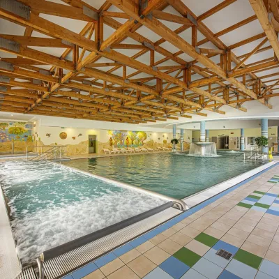 Water parks & thermal poolsBardejovské Kúpele: Wellness Spa Ozón and summer poolBardejov13 km from the trailBardejovské Kúpele is one of Slovakia’s oldest spas, a part of the town of Bardejov about 5 km from its centre, in a valley under the Magura massif that shelters it...
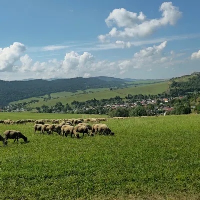 Cheese dairies & pasturesFarma Kamenica — Family Sheep Farm and Cheese Dairy in ŠarišKamenica23 km from the trailKamenica is a village in northern Šariš, in the valley of the Kameničanka stream, at about 483 m above sea level.
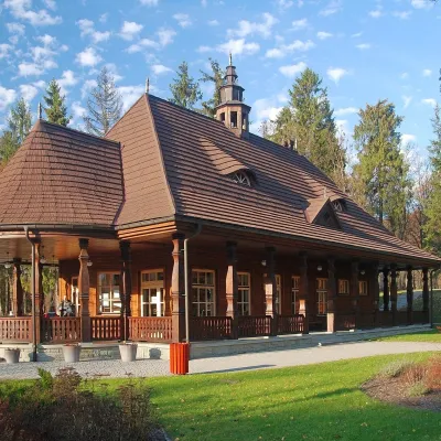 Water parks & thermal poolsWysowa-Zdrój spa: pump room, Franciszek and Henryk watersWysowa-Zdrój26 km from the trailWysowa-Zdrój is a quiet spa at the source of the Ropa river in the Beskid Niski, at 500–550 m, 20 km from Krynica-Zdrój and 25 km from Bardejovské Kúpele in Slovakia.
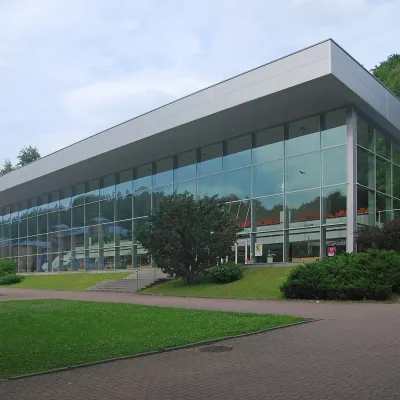 Water parks & thermal poolsKrynica-Zdrój pump rooms: tasting the mineral watersKrynica-Zdrój32 km from the trailKrynica-Zdrój grew up around its mineral springs, and the best way to feel the spa is to walk round its pump rooms and taste the local waters.
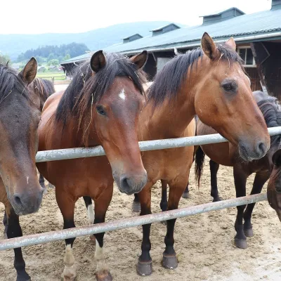 Horse ridingGładyszów Hucul Horse Stud, RegietówGładyszów34 km from the trailThe "Gładyszów" Hucul Horse Stud (Stadnina Koni Huculskich „Gładyszów”) in the Lemko village of Regietów is one of the largest places in the world where Hucul ponies...
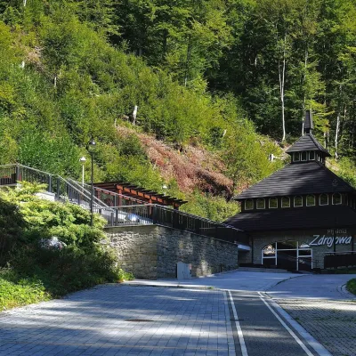 Water parks & thermal poolsŻegiestów-Zdrój spa: the Anna pump room and the Spa HouseŻegiestów37 km from the trailŻegiestów-Zdrój is a small spa in the narrow Poprad valley in the Beskid Sądecki, a kilometre and a half from the village of Żegiestów and a few kilometres from Muszyna.
