Sătic
Argeș County · Romania
Sătic is a village in Romania.
Elevation: about 787 m above sea level. Population: 144 (2021). Mountains nearby: Iezer-Păpușa Mountains.
Here and nearby on the site: 2 trails.
Facts: Wikidata, OpenStreetMap. More on Wikipedia
What's nearby
Trails nearby
All trails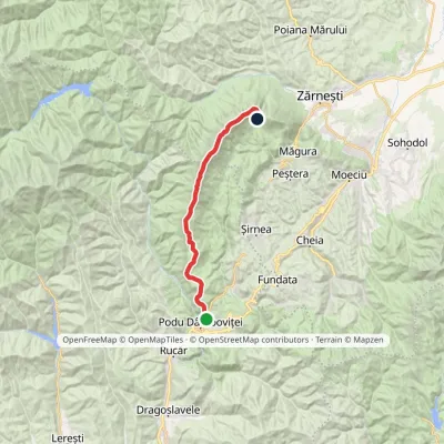 HardTwo-dayMarkedPodu Dâmboviței Curmătura Hutvia La OmElevation profile759–2 238 m22.4 kmascent 1 772 m≈ 9 h walking1.1 km from the centre
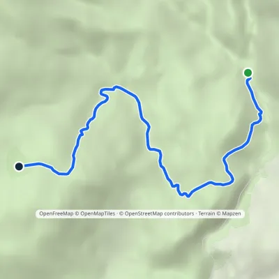 EasyOne-dayMarkedBrusturet Hut Poiana PietricicaElevation profile981–1 475 m5.7 kmascent 518 m≈ 2.5 h walking2.6 km from the centre
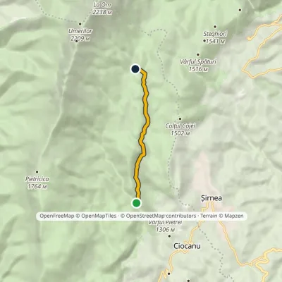 EasyOne-dayMarkedBrusturet Hut Poiana GrindElevation profile981–1 327 m4.7 kmascent 346 m≈ 2 h walking5.1 km from the centre
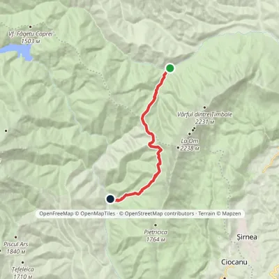 ModerateOne-dayMarkedPlaiul Foii Hut CojocaruElevation profile842–1 467 m12 kmascent 693 m≈ 4.5 h walking5.6 km from the centre
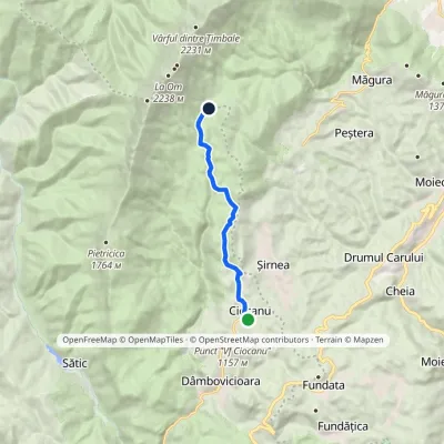 EasyOne-dayMarkedCiocanu La TableElevation profile1 180–1 396 m8.3 kmascent 325 m≈ 2.5 h walking5.7 km from the centre
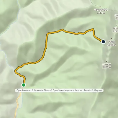 ModerateOne-dayMarkedCojocaru Marele GrohotișElevation profile857–1 693 m6 kmascent 843 m≈ 3 h walking5.8 km from the centre
Peaks nearby
All peaks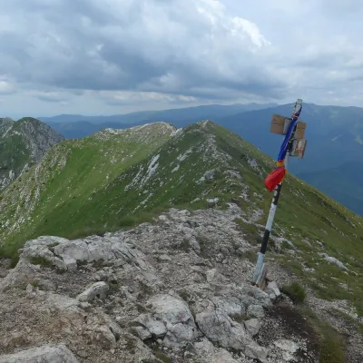 PeakLa OmPeșteraaltitude 2 238 m9.8 km from the centre1 trail to the topLa Om (Romanian Vârful La Om, also Piscul Baciului – “the shepherd's peak”) is the highest summit of the Piatra Craiului massif in the Southern Carpathians of Romania,...
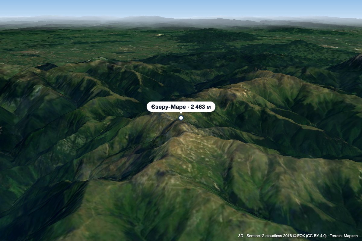 PeakIezeru Marealtitude 2 463 m17 km from the centreIezeru Mare (Romanian Vârful Iezeru Mare, also Iezerul Mare) is a 2,463 m summit in the Iezer-Păpușa Mountains, in Argeș County.
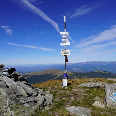 PeakLeaota PeakDobreștialtitude 2 133 m17 km from the centreLeaota Peak (Romanian Vârful Leaota) is the highest summit of the Leaota Mountains, at 2,133 m, in the Southern Carpathians of Romania.
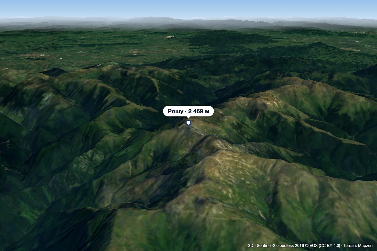 PeakRoșu (Iezer-Păpușa)altitude 2 469 m18 km from the centre1 trail to the topRoșu (Romanian: Vârful Roșu, «the Red Peak») is the highest summit of the Iezer-Păpușa Mountains in the Southern Carpathians, 2,469 m above sea level (2,470 m on...
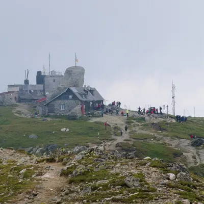 PeakOmu PeakBuștenialtitude 2 514 m22 km from the centre5 trails to the topOmu Peak (Romanian Vârful Omu, also Omul) is the highest summit of the Bucegi Mountains in the Southern Carpathians of Romania.
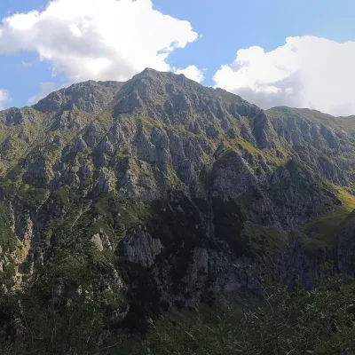 PeakBucșoiuPârâul Recealtitude 2 492 m23 km from the centreBucșoiu (Romanian Vârful Bucșoiu) is a 2,492 m summit in the northern part of the Bucegi Mountains. According to Romanian Wikipedia it is the third-highest peak of the...
What to visit
All
Huts, shelters and springs nearby
Getting there from Ukraine
Border crossings
- Porubne – Siret — road and pedestrian, 24/7
- Diakivtsi – Racovăț — road and pedestrian, 24/7 No freight traffic.
- Krasnoilsk – Vicovu de Sus — road and pedestrian, 08:00–20:00 Cars up to 3.5 t and pedestrians only; not 24/7.
- Solotvyno – Sighetu Marmației — road and pedestrian, 24/7 Passenger traffic only: vehicles up to 3.5 t with up to 9 seats, pedestrians.
- Diakove – Halmeu — road, 24/7 No pedestrian crossing.
By car
Chernivtsi – Bușteni ≈426 km, ≈7 h 32 min (via Diakivtsi – Racovăț); Rakhiv – Bușteni ≈454 km, ≈8 h 01 min (via Solotvyno – Sighetu Marmației); Uzhhorod – Bușteni ≈557 km, ≈9 h 15 min (via Diakove – Halmeu). Times without border queues, our road routing (GraphHopper, OSM).
Checked 03.11.2026; border crossing hours and timetables change — check before you travel.
