Rozložná – Brezovo
Trail map
Route, springs and shelters: © OpenStreetMap contributors (ODbL) · elevation: Copernicus DEM © DLR e.V., © Airbus DS · Data & licences
About the trail
Route Rozložná – Brezovo. Has yellow marking (regional route №8814, KST). Waymarking data: OpenStreetMap (© OpenStreetMap contributors, ODbL).
Officially marked regional tourist route No. 8814. Marking is yellow, sign — horizontal stripe on a white background. Marked and maintained by: KST. Length of the route — 3.5 km. Location: mountain range — Slovak Rudohorie, Slovakia.
At a glance
A short route of 3.5 km with 326 m of ascent from Rozložná to Brezovo. Estimated walking time: about 1.5 h, not counting stops. Difficulty: easy. Waymarking: yellow.
Route stages
- 0–0.5 kmGentle ups and downs at 280–310 m
- 0.5–1.5 kmClimb of 200 m (up to 510 m)
- 1.5–3.5 kmGentle ups and downs at 500–610 m, past Veterník
Steepest kilometre: km 0.5–1.5, a climb of 230 m (≈22%).
Water and overnight stays
Our map shows no springs near the trail — bring your own water (at least 1 l).
When to go
The route can be walked most of the year; it is most comfortable from April to October.
Getting there
Start: Rozložná. This is a one-way route: the finish is 2 km from the start in a straight line, so plan your way back in advance.
FAQ
- How long does the route take?
- Estimated walking time: about 1.5 h, not counting stops.
- Is there water on the route?
- Our map shows no springs near the trail — bring your own water (at least 1 l).
Comments
Trails nearby
All trails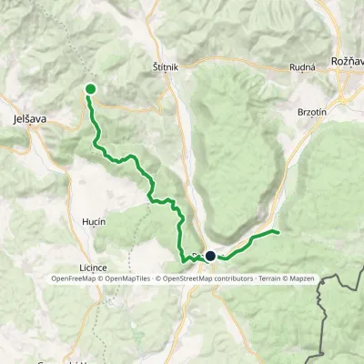 HardTwo-dayMarkedSedlo Hrádok Gombasecká jaskyňaElevation profile212–687 m26.1 kmascent 645 m≈ 8 h walking
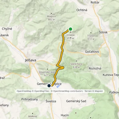 ModerateOne-dayMarkedJelšavská Teplica, stop Ochtinská Aragonite CaveElevation profile237–675 m9.8 kmascent 470 m≈ 3.5 h walking
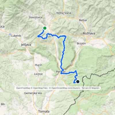 HardMulti-dayMarkedOchtiná Under Dlhý BraloElevation profile214–794 m47.2 kmascent 1 585 m
Craft nearby
All craft places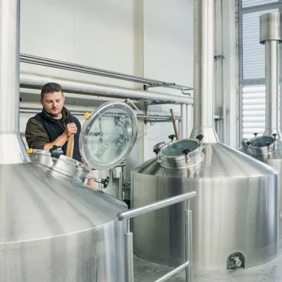 Craft beer & breweriesKaltenecker Brewery, Rožňava: Gemer craft beer from the sourceRožňava14 km from the trailThe modern Kaltenecker brewery was founded in 1997, and from the start it took a different path from the big breweries of the day: instead of one-size-fits-all beer, a...
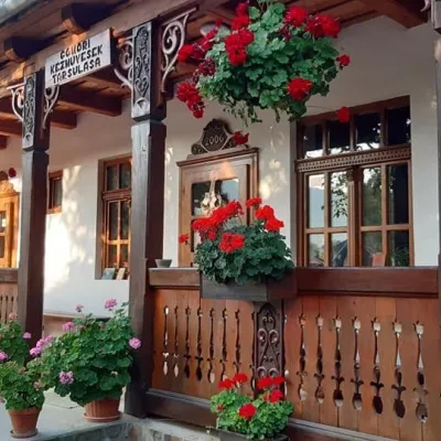 Markets & fairsGemer Craft Fair at Krásnohorská Dlhá Lúka below Krásna HôrkaKrásnohorská Dlhá Lúka17 km from the trailKrásnohorská Dlhá Lúka is a village below Krásna Hôrka castle, a few kilometres from Rožňava. In 2002 the Association of Gemer Craftsmen (Združenie gemerských...
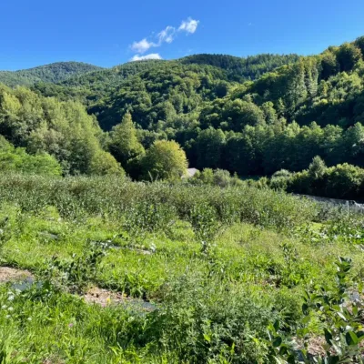 Eco farmsČučoriedková záhrada: pick-your-own blueberries and aronia juiceRatkovské Bystré21 km from the trailHere in 2010 the owners’ family planted the first Canadian blueberry bushes on a small plot — and gradually grew them into the Čučoriedková záhrada (Blueberry Garden).
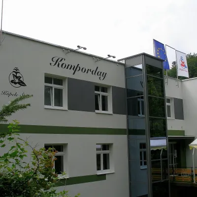 Water parks & thermal poolsŠtós spa: climatic cure, speleotherapy and poolŠtós34 km from the trailKúpele Štós is a climatic spa in south-eastern Slovakia, in the settlement of Štós-kúpele a few kilometres north of the mining village of Štós, where the Volovské...
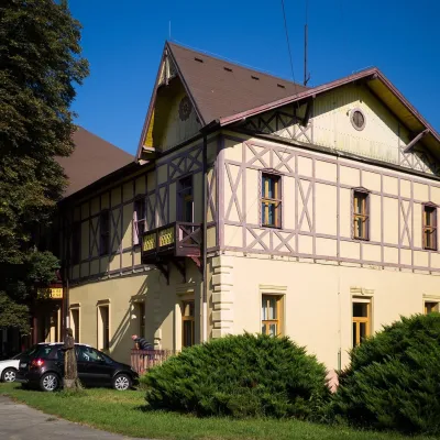 Water parks & thermal poolsČíž spa: iodine-bromine water, baths and summer poolsČíž34 km from the trailČíž is a spa with natural iodine-bromine water in southern Gemer, in a village in the Rimava basin not far from Rimavská Sobota, at about 170 m.
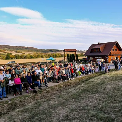 Cheese dairies & pasturesSalaš pod Maginhradom: Gemer sheep’s cheese and the Mitrovanie feastVeľké Teriakovce35 km from the trailAcross the road rises Maginhrad hill: in the 15th century a castle stood there that served as a Hussite fortress, and the Romantic poet Ján Botto dedicated a ballad to...
