Prokurava
Kosiv district · Ivano-Frankivsk region
Prokurava is a settlement in the Carpathian region of Ukraine. Location: Kosiv district, Ivano-Frankivsk region. Worth seeing nearby: Dead Lake (Sheshory) — 3 km; Polonyna Rosokhata (Sheshory) — 3 km; Rushirsky waterfall, Lyucha — 4 km. The nearest peaks: Mount Sopka (Stizhky, Zinyakov top). — 620 m; Mount Gregit — 1 472 m; Mount Ostry (Ostra) — 584 m. Hiking trails close by: Sheshory – Rosokhata; Opryshky Road. There are places to stay here and nearby, from guest houses to hotels.
Below: places to stay, sights, trails and peaks nearby, the weather and answers to frequent questions.
What to visit
Landmarks, museums and places of interest near Prokurava.
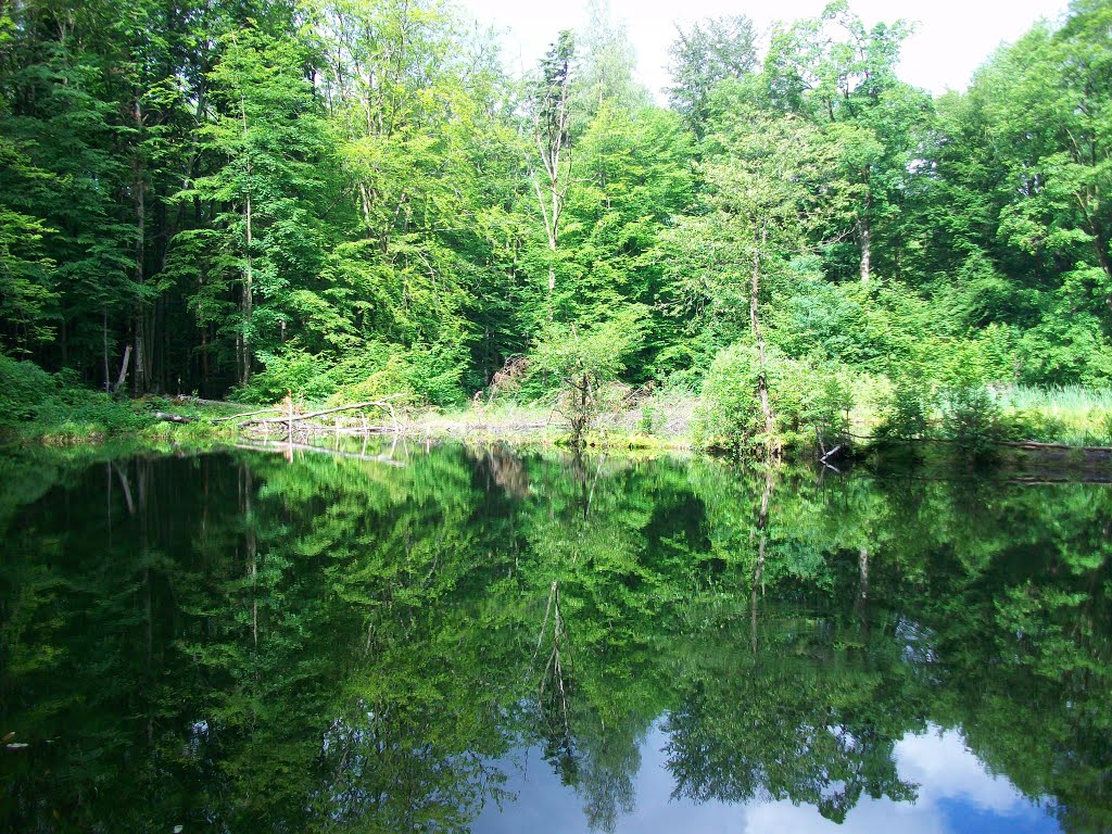
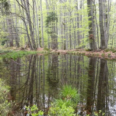 LakeDead Lake (Sheshory)Sheshory2.6 km from the centreNot far from the Rosokhata valley, on the neighboring Karmatura ridge, there is the Dead Lake. The lake is small in size, pear-shaped, about 40 meters long.
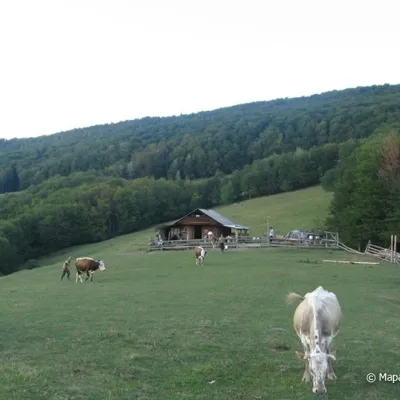 Mountain meadowPolonyna Rosokhata (Sheshory)Sheshoryaltitude 860 m3.2 km from the centreWhy is the meadow called "Rosokhata"? The two parts of the field that form the branches look like dewdrops.
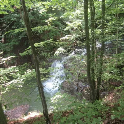 WaterfallRushirsky waterfall, LyuchaLiucha4 km from the centreRushir Waterfall is a waterfall in the Ukrainian Carpathians (Pokutsko-Bukovyna Carpathians), a hydrological natural monument of local importance called "Waterfall on...
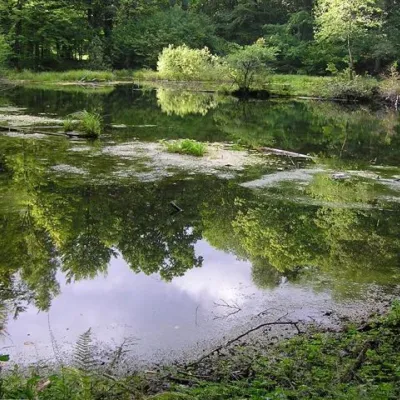 LakeLake Lebedyn (Sheshory)Sheshory4.1 km from the centreLake Lebedyn (Lebedine) is located at an altitude of 650 m amidst beech forests and has been a protected area since 1978.
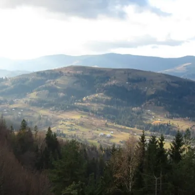 NatureBrusny RidgeProkurava4.4 km from the centreBrusnyi Ridge is little known in tourist circles. You won't see crowds of tourists here, but it is a very picturesque corner of the Carpathians, offering 360-degree...
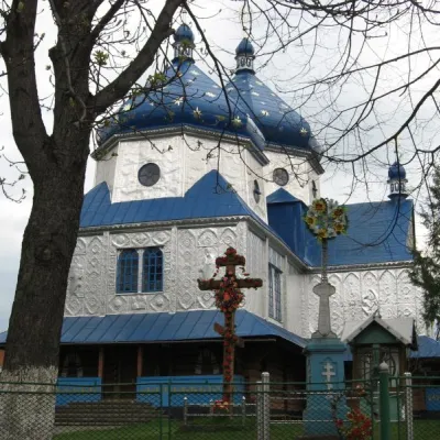 ChurchChurch of the Holy Apostles Peter and Paul, KosmachKosmach5.9 km from the centreAnd it is impossible to imagine Kosmach without its wooden churches, especially the ancient Church of Peter and Paul, which rises above the village and attracts people...
Where to stay
Hotels, guesthouses and cottages in and around Prokurava.
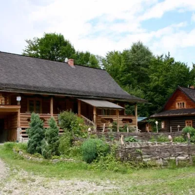 HomesteadStara KhataProkuravaunder 1 km from the centre⚜️Nestled between high mountains and the rushing Pystynka River, surrounded by clean Carpathian air, is the cozy Homestead "STARA KHATA"Nearby: Dead Lake 2.0 kmPolonyna Rosokhata 2.3 km1 trail
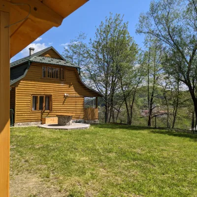 HomesteadSheshory ChaletSheshory5.6 km from the centreFireplaceKitchenParkingNearby: Polonyna Rosokhata 2.4 kmLake Lebedyn 4.3 km1 trail
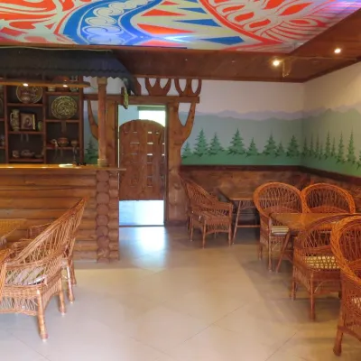 HomesteadHomestead "Vyshyvanka"Sheshory6.5 km from the centreSaunaBBQParkingNearby: Polonyna Rosokhata 3.4 kmLake Lebedyn 4.8 km1 trail
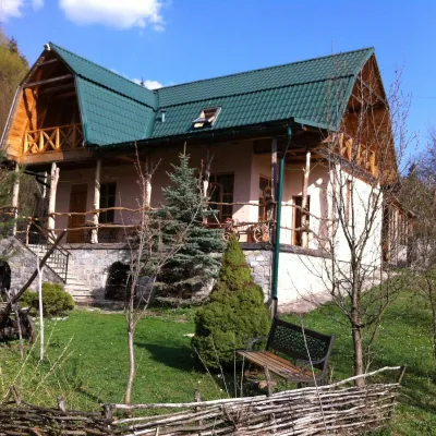 HotelGuest House "Sikityra" SheshorySheshory6.6 km from the centrePoolSaunaBBQNearby: Polonyna Rosokhata 3.5 kmLake Lebedyn 5.0 km1 trail
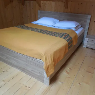 HomesteadHomestead "Sheshory Country Club" (pool, fireplace)Sheshory6.8 km from the centrePoolSaunaBBQNearby: Polonyna Rosokhata 3.7 kmLake Lebedyn 4.7 km1 trail
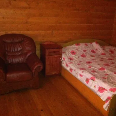 HomesteadHomestead "Smerichka" LyuchaLiucha7.4 km from the centreHot tubSaunaBBQNearby: Church of the Ascension 200 mRushirsky waterfall 3.9 km
Trails nearby
All trails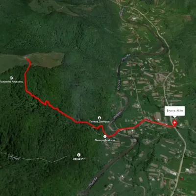 EasyOne-dayMarkedSheshory RosokhataElevation profile464–680 m1.6 kmascent 61 m≈ 30 min walking2.7 km from the centre
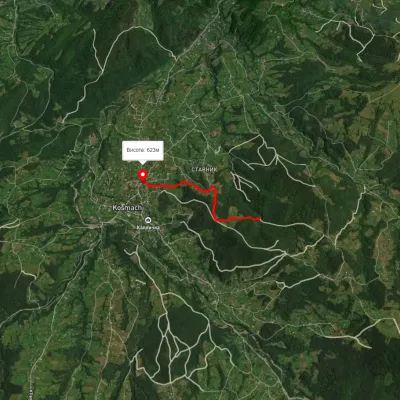 EasyOne-dayMarkedOpryshky RoadElevation profile625–762 m2.5 kmascent 77 m≈ 45 min walking5.9 km from the centre
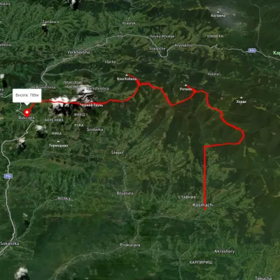 HardMulti-dayUnmarkedKosmach village to Bukovets villagevia Mount Rotylo, Mount Hrehit +1Elevation profile612–1 461 m40.2 kmascent 1 739 m≈ 13.5 h walking6.3 km from the centre
Peaks nearby
All peaks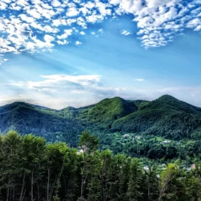 PeakMount Sopka (Stizhky, Zinyakov top).Kosivaltitude 620 m12 km from the centreStizhki (620 meters) offers a panoramic view of the city of Kosiv. The mountain is covered with forests - beech, spruce, fir, and in the more holy places - sycamore.
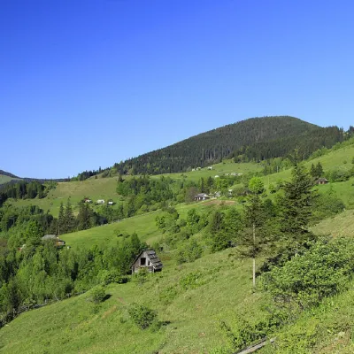 PeakMount GregitShepitaltitude 1 472 m · Pokuttia-Bukovyna Carpathians range13 km from the centre4 trails to the topMount Gregit is a 1472-meter peak in the Ukrainian Carpathians, which lies within the Pokutsko-Bukovyna Carpathians.
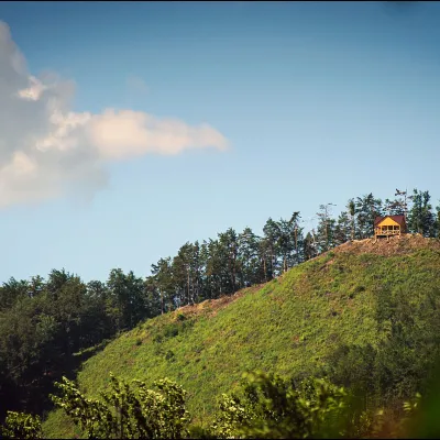 PeakMount Ostry (Ostra)Kosivaltitude 584 m13 km from the centreThe mountain offers wonderful views of the entire Kosiv. The descent is steep, and autumn is magical here.