Polichno
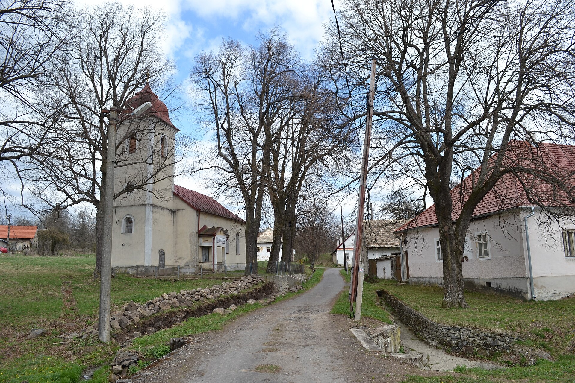
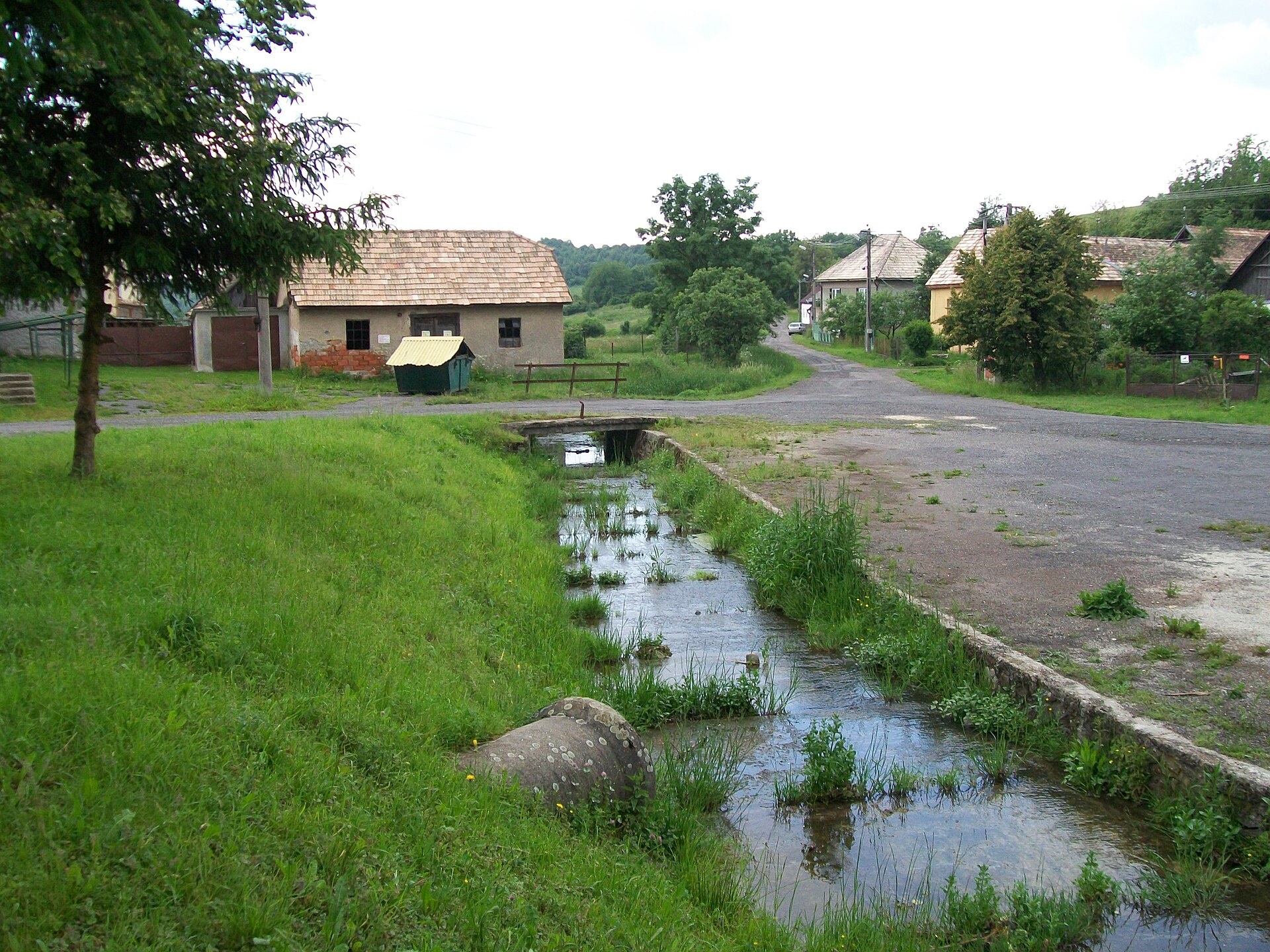
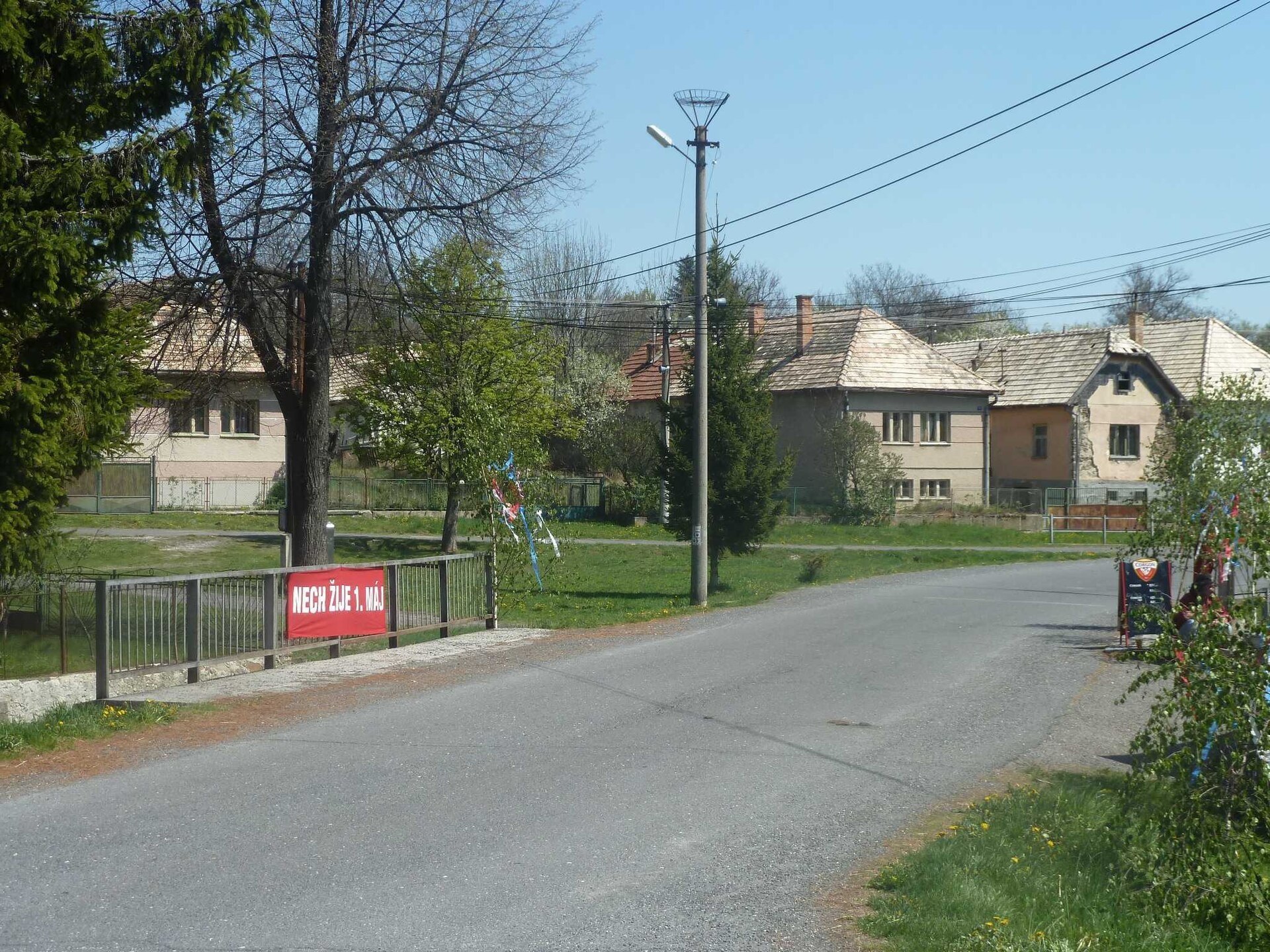
Photos: Ladislav Luppa, CC BY-SA 4.0 (Wikimedia Commons); Ladislav Luppa, CC BY-SA 3.0 (Wikimedia Commons); Peko, CC BY-SA 3.0 (Wikimedia Commons)
Polichno is a village in Slovakia.
Elevation: about 596 m above sea level. Population: 120 (2025). Mountains nearby: Slovak Central Mountains.
Here and nearby on the site: 2 trails.
Facts: Wikidata, OpenStreetMap. More on Wikipedia
What's nearby
Trails nearby
All trails EasyOne-dayMarkedPolichno LupočElevation profile303–597 m6.4 kmascent 1 m≈ 1.5 h walkingunder 1 km from the centre
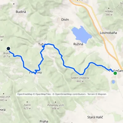 ModerateTwo-dayMarkedPodrečany Bralcevia Tuhár, PolíchnoElevation profile217–793 m17.9 kmascent 849 m≈ 6 h walkingunder 1 km from the centre
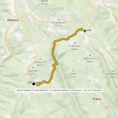 EasyOne-dayMarkedPolichno Lentvorský mlynElevation profile462–630 m6.9 kmascent 185 m≈ 2 h walkingunder 1 km from the centre
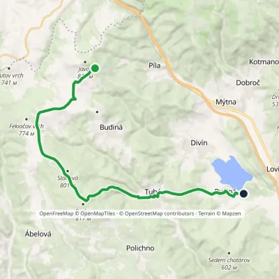 ModerateOne-dayMarkedRužiná, ATC Former hut under Javorvia Tuhár, BralceElevation profile260–814 m18 kmascent 295 m≈ 5 h walking2.6 km from the centre
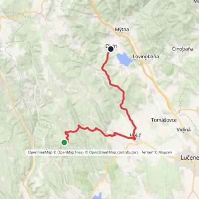 HardTwo-dayMarkedDivín LysecElevation profile242–720 m26.7 kmascent 589 m≈ 8 h walking2.8 km from the centre
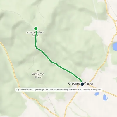 EasyOne-dayMarkedSedem chotárov Gregorova VieskaElevation profile272–619 m3.1 km≈ 45 min walking4.2 km from the centre
What to visit
All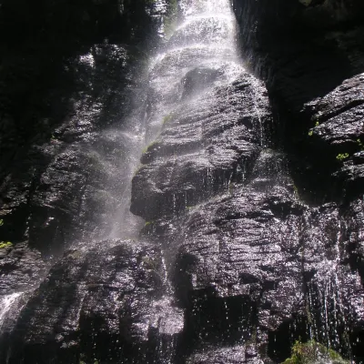 WaterfallBystrô waterfall on the Poľana volcanoHriňová24 km from the centreThe Bystrý potok waterfall (Vodopád Bystrého potoka), known locally simply as Bystrô or Bystré, is one of the best-known waterfalls in central Slovakia.
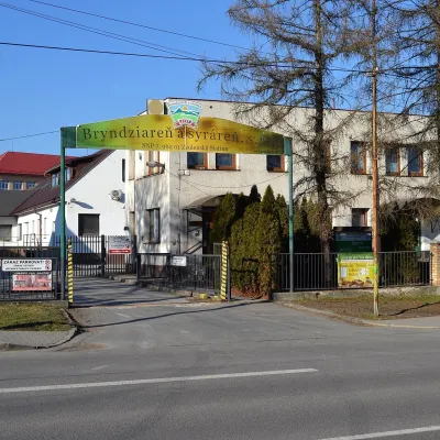 Cheese dairies & pasturesZvolenská Slatina bryndza dairy: the oldest, since 1797Zvolenská Slatina25 km from the centreBryndza with more than 220 years behind it Zvolenská Slatina is a large village in the Podpoľanie region, a few kilometres from Zvolen, at the foot of the volcanic...
Huts, shelters and springs nearby
Getting there from Ukraine
Border crossings
- Uzhhorod – Vyšné Nemecké — road, 24/7
- Malyi Bereznyi – Ubľa — road, 24/7 For cars and buses; pedestrians not confirmed by the Ukrainian border service, lorries up to 3.5 t.
- Mali Selmentsi – Veľké Slemence (pedestrian) — pedestrian, 09:00–21:00 Kyiv time Pedestrians and cyclists only; inconvenient for the Tatras without onward transport.
- Chop – Čierna nad Tisou (rail) — rail, 24/7
By car
From Uzhhorod to Brezno ≈274 km, ≈3 h 50 min without queues: Uzhhorod – Vyšné Nemecké → I/19 to Košice → D1 via Prešov and Poprad to the exit near Liptovský Hrádok → I/18 and I/72 over the Čertovica Pass to Brezno. To Banská Bystrica ≈322 km, ≈4 h 30 min: D1 to Ružomberok, then I/59 via Donovaly. From Lviv: to Brezno via Uzhok and Ubľa ≈498 km (≈7 h 45 min) or through Poland ≈554 km (≈7 h 05 min); to Banská Bystrica through Poland (Kraków – Chyżne – Trstená – Dolný Kubín – Ružomberok) ≈535 km, ≈7 h 15 min. The D1 requires an e-vignette (eznamka.sk).
Checked 23.10.2026; border crossing hours and timetables change — check before you travel.
