Divín – Lysec
Trail map
Route, springs and shelters: © OpenStreetMap contributors (ODbL) · elevation: Copernicus DEM © DLR e.V., © Airbus DS · Data & licences
About the trail
Route Divín – Lysec. Has red marking (national route №0820, KST). Waymarking data: OpenStreetMap (© OpenStreetMap contributors, ODbL).
Officially marked national tourist route No. 0820. Marking is red, sign — horizontal stripe on a white background. Marked and maintained by: KST. Length of the route — 26.7 km. Location: mountain range — Strednoslovenske Mountains, Slovakia.
At a glance
A one-day route of 26.7 km with 589 m of ascent from Lysec to Divín. Estimated walking time: about 7.5 h, not counting stops. Difficulty: hard. Waymarking: red.
Route stages
- 0–5 kmDescent of 300 m (down to 403 m)
- 5–6 kmClimb of 100 m (up to 507 m)
- 6–12 kmDescent of 240 m (down to 268 m)
- 12–16 kmGentle ups and downs at 240–300 m
- 16–20 kmClimb of 310 m to Sedem chotárov (602 m)
- 20–27 kmDescent of 330 m to Divín
Steepest kilometre: km 4–5, a descent of 150 m (≈15%).
Water and overnight stays
Springs near the trail: at km 9, 14 and 27. There are no springs between km 14 and 27 — carry at least 2 l of water.
When to go
The route can be walked most of the year; it is most comfortable from April to October.
Getting there
Start: Lysec. This is a one-way route: the finish is 12 km from the start in a straight line, so plan your way back in advance.
FAQ
- How long does the route take?
- Estimated walking time: about 7.5 h, not counting stops.
- Is there water on the route?
- Springs near the trail: at km 9, 14 and 27. There are no springs between km 14 and 27 — carry at least 2 l of water.
Water and shelter on the route
- Spring below Diel (north-east slope), 331 mkm 9.1 from the start · Not verified · 331 m
- Drinking water (Stará Halič)km 14.2 from the start · 40 m off the path · Not verified · 243 m
- Drinking water below Veľký vrchkm 26.5 from the start · Not verified · 273 m
Comments
Trails nearby
All trails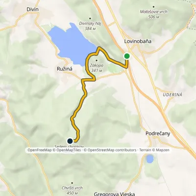 EasyOne-dayMarkedSedem chotárov peak Lovinobaňa stationvia Ružiná campsiteElevation profile229–602 m6.8 kmascent 377 m≈ 2.5 h walking
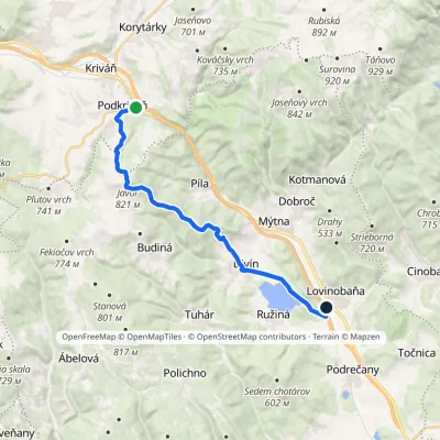 ModerateOne-dayMarkedPodkriváň, railway station Lovinobaňa, railway stationvia Javor, DivínElevation profile229–821 m18 kmascent 456 m≈ 5.5 h walking
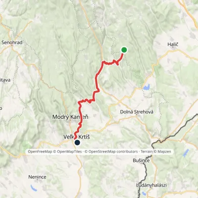 HardTwo-dayMarkedVeľký Krtíš Lysecvia Horné Strháre, SennéElevation profile197–717 m28.2 kmascent 499 m≈ 8 h walking
Craft nearby
All craft places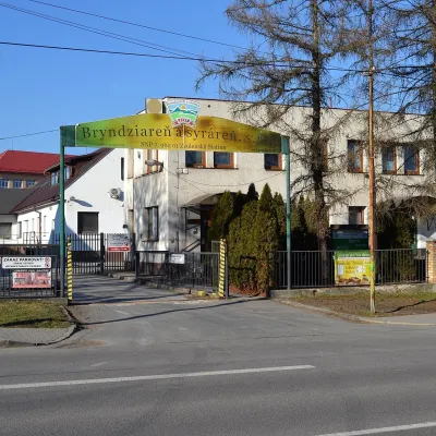 Cheese dairies & pasturesZvolenská Slatina bryndza dairy: the oldest, since 179728 km from the trailBryndza with more than 220 years behind it Zvolenská Slatina is a large village in the Podpoľanie region, a few kilometres from Zvolen, at the foot of the volcanic...
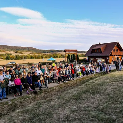 Cheese dairies & pasturesSalaš pod Maginhradom: Gemer sheep’s cheese and the Mitrovanie feast38 km from the trailAcross the road rises Maginhrad hill: in the 15th century a castle stood there that served as a Hussite fortress, and the Romantic poet Ján Botto dedicated a ballad to...
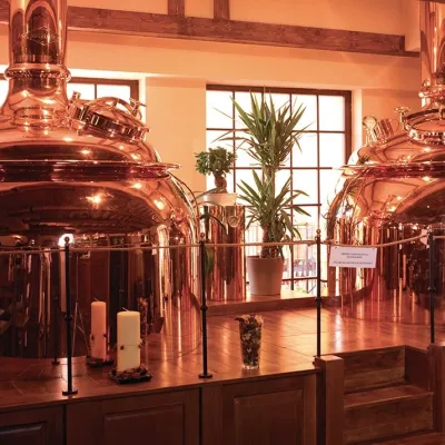 Craft beer & breweriesERB brewery in Banská Štiavnica: brewery tour and tasting44 km from the trailBanská Štiavnica is an old mining town in the caldera of an extinct volcano and a UNESCO World Heritage site.
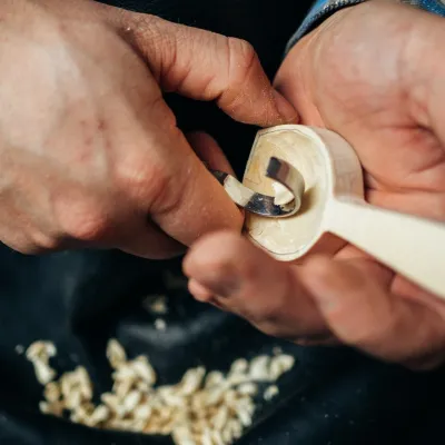 Crafts & workshopsDo dielne, Počúvadlo: woodcarving courses near Banská Štiavnica46 km from the trailHere, in the quiet among the hills, works the small workshop Do dielne (“To the workshop”). Its owner Dušan Budinský ran a hairdresser’s in Bratislava for eight years,...
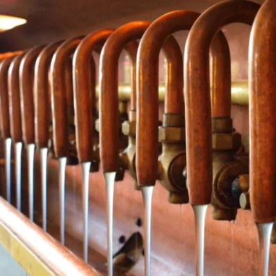 Craft beer & breweriesUrpiner brewery in Banská Bystrica: tour and beer from the tank46 km from the trailBanská Bystrica is the centre of Central Slovakia and grew rich on copper mining in the 14th–16th centuries.
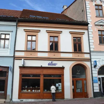 Craft shopsÚĽUV Banská Bystrica: folk-craft shop and craft school49 km from the trailÚĽUV (Ústredie ľudovej umeleckej výroby, the Centre for Folk Art Production) is a state institution that has looked after Slovak folk crafts since 1945: it keeps a...
