Păpușa (Iezer-Păpușa)
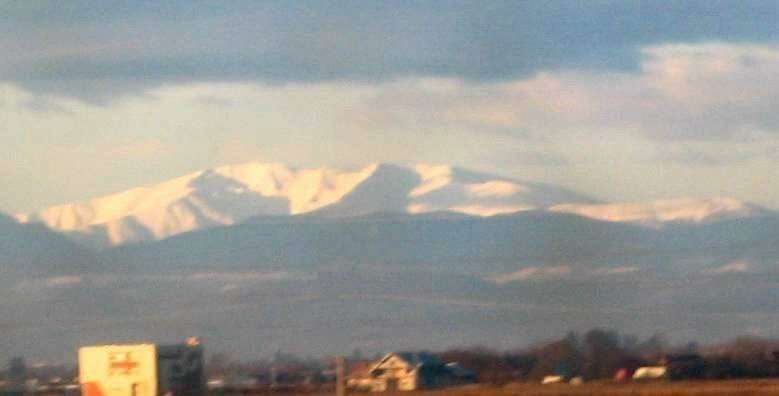
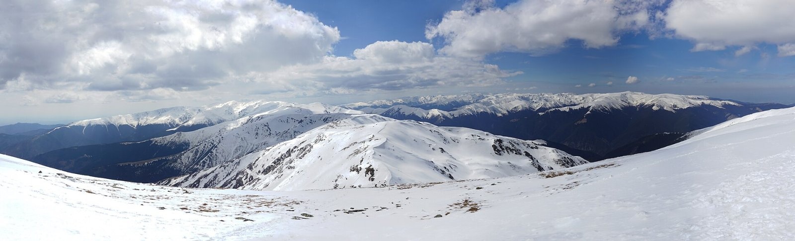
Păpușa (Romanian: Vârful Păpușa) is a 2,391 m summit in the eastern part of the Iezer-Păpușa Mountains in the Southern Carpathians, in Argeș County. It gave the massif the second part of its name. According to the route descriptions on muntii-nostri.ro, Păpușa is an important junction of hiking routes, and its summit offers perhaps the best view of the western wall of Piatra Craiului. The nearest village is Sătic in the Dâmbovița valley, about 11 km away.
How to get there / routes
- The Iezer-Păpușa ridge loop (route 76, red stripe). From the Voina mountain hut (about 950 m) the path climbs the Văcărea ridge to Crucea Ateneului (2,300 m), Roșu peak (2,470 m), then over Bătrâna (2,341 m), Frăcea and the rocky Tambura to the Spintecătura Păpușii saddle (2,220 m) and up a steep bouldery slope below Păpușa. The return to Voina goes over Găinațul Mare mountain. The whole loop is 34 km and 14.5–15¾ hours; it is graded difficult.
- Route 81, blue stripe (07MN81): from the Voina hut past the Cuca hut, up steep grassy slopes below the Grădișteanu saddle to the ridge and Păpușa, then over Mount Dracsin to the Dâmbovița valley. It is 21 km, 9.5–10.5 hours, about 1,700 m of ascent; this route links the Iezer-Păpușa with Piatra Craiului.
- Yellow triangle from the Cascoe hut over the summit to the Cuca hut and on to Voina.
What you can see from the summit
According to muntii-nostri.ro, from Păpușa you see the Piatra Craiului ridge «white and shining like an enormous arc of stone»: you can make out the smallest details of the western wall between Umerii Pietrei Craiului and the Funduri saddle. To the north, beyond Mount Dracsin, you see the Făgăraș, extended by the Tămașul Mare ridge; to the south-east the Leaota massif; and to the south the Câmpulung Depression, the Cuca valley and the Găinațul Mare ridge. To the west the Iezer-Păpușa ridge runs towards Bătrâna and Roșu.
Nature and history
Below the summit lies the stony Căldarea Barbului cirque, and half an hour away on the eastern side rises Cascoe peak above the deep and steep valley of the same name. The ridge of the massif is built of crystalline rocks covered with slabs and scree; the broad spurs carry mountain meadows and pastures.
Safety, season and rules
The routes to Păpușa are long (10–15 hours) and poorly marked in places: according to muntii-nostri.ro, the blue stripe over Dracsin is faint in places and the ridge waymarks around Găinațu are sparse, so you need a map and navigation skills. In winter the alpine zone requires winter mountaineering or ski-touring equipment. In winter the high ridges carry a serious avalanche risk — follow the avalanche bulletin of Romania's National Meteorological Administration (ANM) on meteoromania.ro.
Bears are common in the Romanian Carpathians. Salvamont rescuers advise not to hike alone, to talk loudly so that an animal hears you in advance, to keep your distance and never feed wildlife, and to store food in sealed containers away from your tent; if you meet a bear, do not run and back away slowly without turning your back.
Mountain rescue: Salvamont national dispatch 0SALVAMONT = 0725 826 668 and the emergency number 112.
Interesting facts
- Păpușa offers one of the best views of the Piatra Craiului wall.
- The blue stripe over Dracsin is a walking «bridge» between the Iezer-Păpușa and Piatra Craiului.
Photos: Lakeof, CC BY 2.5; xulescu_g, CC BY-SA 2.0 — Wikimedia Commons.
Getting there from Ukraine
Border crossings
- Porubne – Siret — road and pedestrian, 24/7
- Diakivtsi – Racovăț — road and pedestrian, 24/7 No freight traffic.
- Krasnoilsk – Vicovu de Sus — road and pedestrian, 08:00–20:00 Cars up to 3.5 t and pedestrians only; not 24/7.
- Solotvyno – Sighetu Marmației — road and pedestrian, 24/7 Passenger traffic only: vehicles up to 3.5 t with up to 9 seats, pedestrians.
- Diakove – Halmeu — road, 24/7 No pedestrian crossing.
By car
Chernivtsi – Bușteni ≈426 km, ≈7 h 32 min (via Diakivtsi – Racovăț); Rakhiv – Bușteni ≈454 km, ≈8 h 01 min (via Solotvyno – Sighetu Marmației); Uzhhorod – Bușteni ≈557 km, ≈9 h 15 min (via Diakove – Halmeu). Times without border queues, our road routing (GraphHopper, OSM).
Checked 03.11.2026; border crossing hours and timetables change — check before you travel.
Comments
Travellers’ experience: reports, tips, questions.
No one has reported on this trail yet. Been here lately? Tell others what it is like now.
Location on the map
Water and shelter nearby
- Spring below Păpușa (south slope), 1 991 m1.6 km · Not verified · 1 991 m
Trails nearby
All trails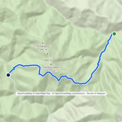 ModerateOne-dayMarkedPlaiul Foii Hut RăchitaElevation profile842–1 525 m9.3 kmascent 681 m≈ 3.5 h walking6.2 km from Păpușa (Iezer-Păpușa)
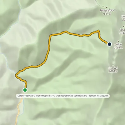 ModerateOne-dayMarkedCojocaru Marele GrohotișElevation profile857–1 693 m6 kmascent 843 m≈ 3 h walking6.8 km from Păpușa (Iezer-Păpușa)
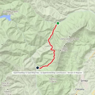 ModerateOne-dayMarkedPlaiul Foii Hut CojocaruElevation profile842–1 467 m12 kmascent 693 m≈ 4 h walking7.2 km from Păpușa (Iezer-Păpușa)
Nearby attractions
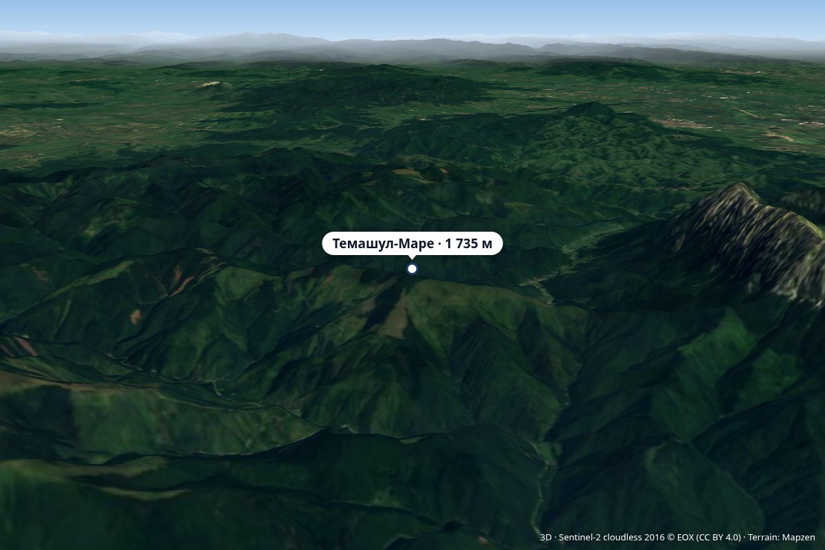 PeakTămașul Marealtitude 1 735 m8.4 km from Păpușa (Iezer-Păpușa)Vârful Tămașul Mare) is a 1,735 m peak on the western edge of the Piatra Craiului massif, in the Piatra Craiului National Park.
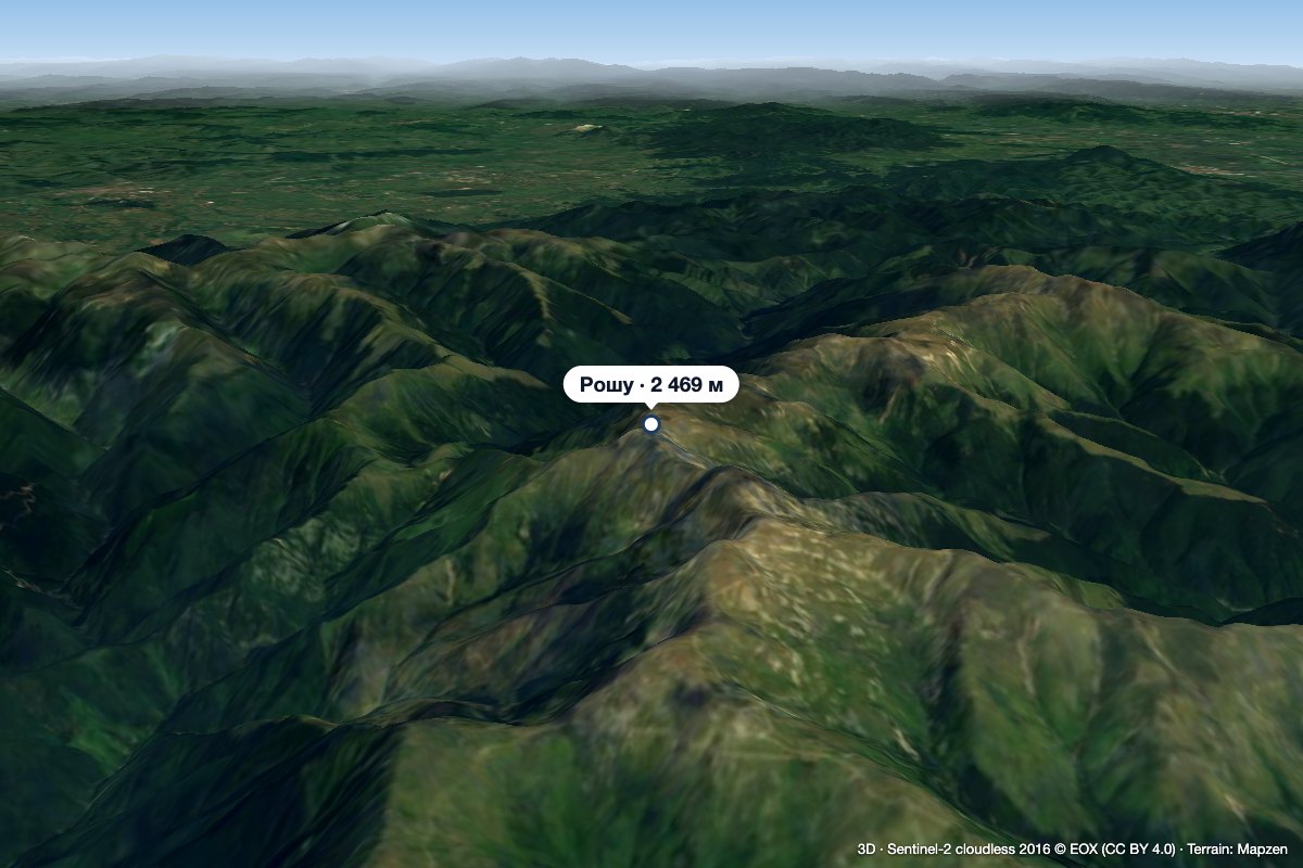 PeakRoșu (Iezer-Păpușa)altitude 2 469 m9.1 km from Păpușa (Iezer-Păpușa)1 trail to the topRoșu (Romanian: Vârful Roșu, «the Red Peak») is the highest summit of the Iezer-Păpușa Mountains in the Southern Carpathians, 2,469 m above sea level (2,470 m on...
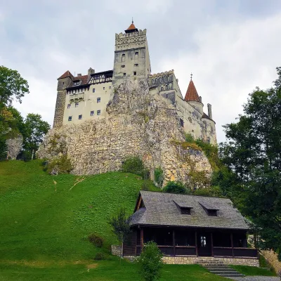 CastleBran Castle — "Dracula's Castle": pass fortress and Queen Marie's homeBran24 km from Păpușa (Iezer-Păpușa)Bran Castle (Castelul Bran) stands on a rock above the village of Bran in Brașov County, between the Bucegi and Piatra Craiului massifs.
Craft nearby
All craft places Craft producersDieter’s Bread in Câmpulung: wood-fired artisan breadCâmpulung24 km from Păpușa (Iezer-Păpușa)Câmpulung (also called Câmpulung Muscel) is an old town in Argeș County at the foot of the Iezer-Păpușa Mountains, on the road to the Rucăr–Bran pass.
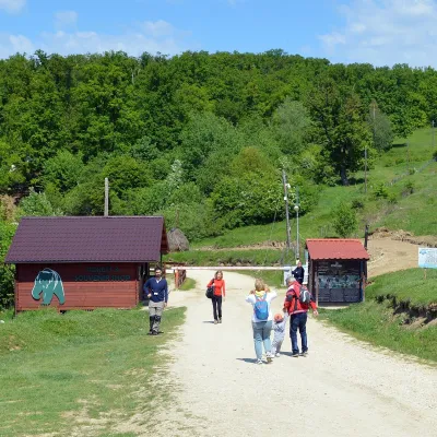 Wildlife parks & animal farmsLibearty Bear Sanctuary in Zărnești: a forest for rescued bearsVulcan28 km from Păpușa (Iezer-Păpușa)The AMP Libearty Bear Sanctuary lies near the town of Zărnești in Brașov County, at the edge of a forest below the Piatra Craiului massif.
