Poenari Citadel: Vlad the Impaler's fortress above the Argeș
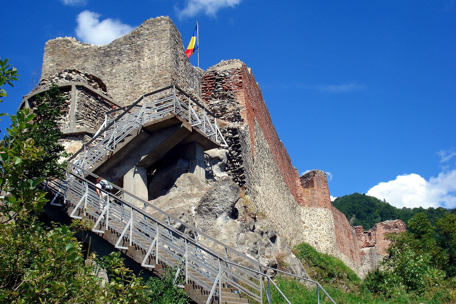
A fortress on Mount Cetățuia
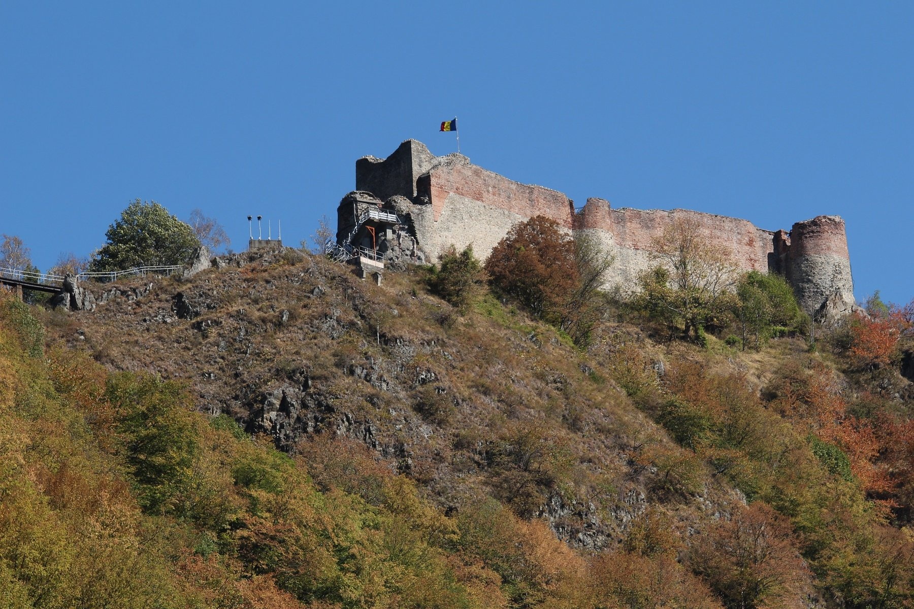
Poenari Citadel (Cetatea Poenari, also Poienari) stands on the top of Mount Cetățuia above the gorge of the Argeș river, near the village of Căpățânenii Ungureni in Arefu commune, Argeș County. The town of Curtea de Argeș is about 25 km to the south, and the famous Transfăgărășan road (DN7C) runs along the foot of the mountain. The fortress takes its name from the village of Poienari, which it once owned. The walls go back to the 14th century and were extended in the 15th; according to the Argeș County Museum, the fortress appears in documents of the 15th–16th centuries and in later chronicles.
The fortress is linked to the name of the Wallachian prince Vlad III the Impaler (Vlad Țepeș). The Cantacuzino chronicle says that he built the fortress at Poenari, forcing the leading citizens of Târgoviște to work on it, which is why the place was called "the fortress of Prince Țepeș". It was later abandoned; the earthquake of 13 January 1913 caused a landslide, and part of the walls fell into the valley. Since 2009 the monument has been in the care of the Argeș County Museum. After three years of conservation and restoration work, the fortress reopened to visitors on 14 April 2025.
Why go
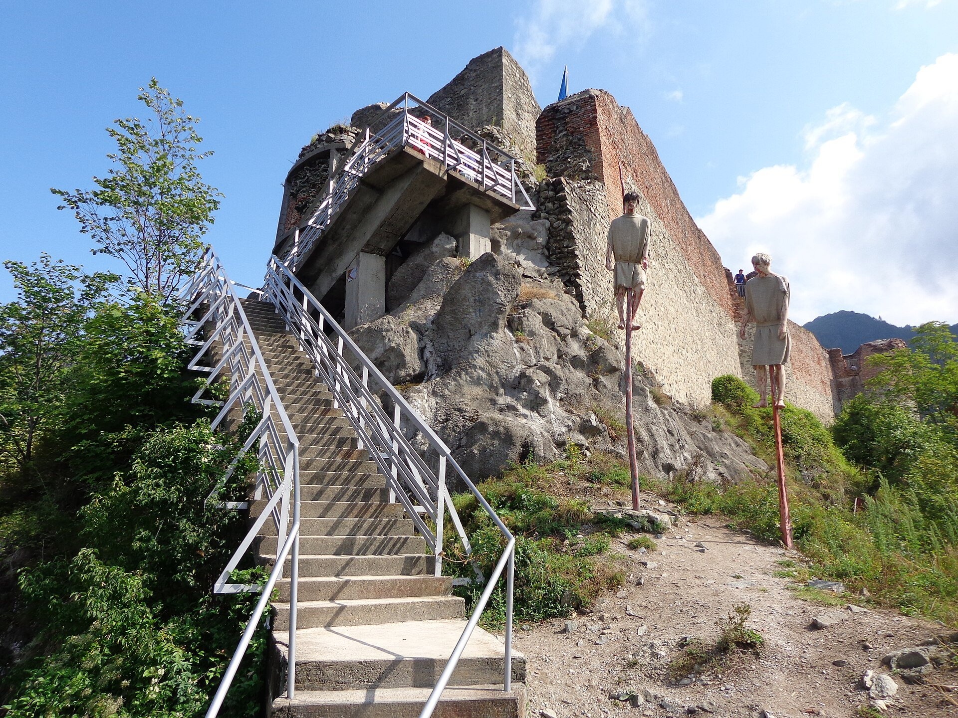
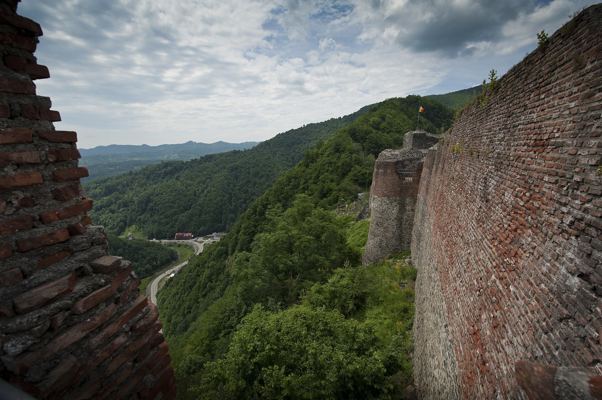
Poenari is one of the most striking medieval castles of Wallachia, and you cannot drive to it: to reach the walls you climb 1,480 steps through the forest. The reward is a narrow fortress above a precipice, with towers of brick and stone, and a view over the Argeș gorge, the Făgăraș Mountains and the Transfăgărășan. It is an honest monument from Vlad the Impaler's time, without fairy-tale décor, and easy to combine with a drive to Lake Vidraru and the high mountain bends.
What to see
- The climb of 1,480 steps, concrete with metal handrails, from the car park by the road to the gate of the fortress.
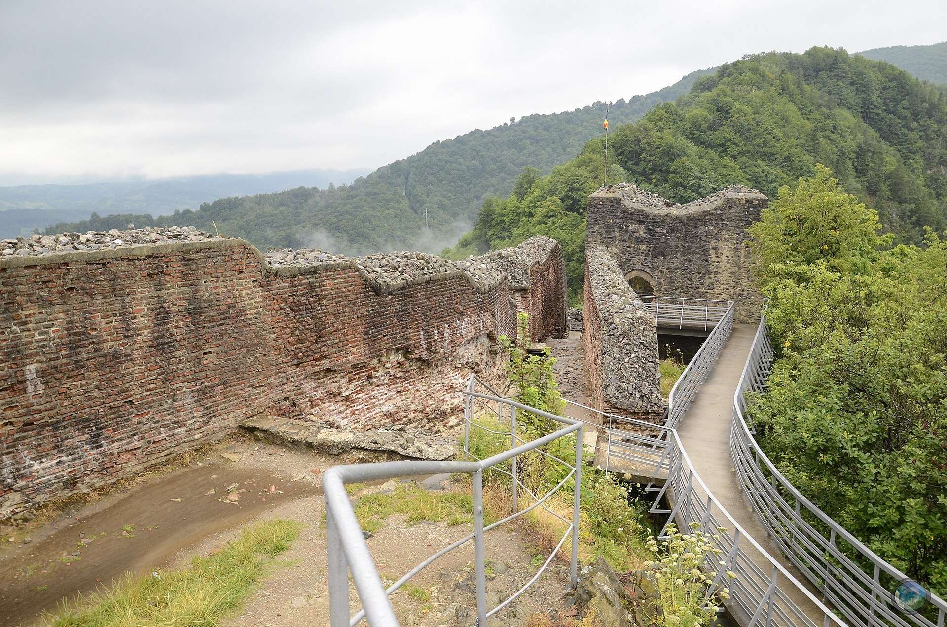
- The elongated courtyard running along the ridge, with thick walls of brick and stone.
- The towers: the older prismatic one and the later round ones, partly destroyed by earthquakes.
- Viewpoints above the Argeș gorge, with a panoramic binocular and views of the valley and the Făgăraș Mountains.
- Information boards on the history of the fortress and the legends connected with Vlad the Impaler.
Practical information
Address: DN7C (Transfăgărășan), Căpățânenii Ungureni, Arefu commune, Argeș County. The steps start at a car park on the DN7C about 25 km north of Curtea de Argeș and a few kilometres below the Vidraru dam. Public transport hardly reaches the site, so a car is more practical. From Ukraine the simplest route is via the Porubne – Siret or Diakivtsi – Racovăț crossing and through Transylvania to Sibiu; in summer you can cross the Făgăraș range on the high section of the Transfăgărășan, which opens only in the warm season.
According to the official website of the Argeș County Museum, the fortress is open daily from 9:00 to 16:00, with the last ascent at 15:00. Tickets cost 30 lei for adults and 20 lei for pupils, students and pensioners (2026 tariffs); they are sold on site and online through the Arges Tourist Pass. Museum phone +40 248 212 561. Bears occur around the fortress: after a bear was sighted, the museum and the gendarmerie allowed visits only in organised groups of 15–20 people, and in spring 2025 the site was temporarily closed while the danger lasted. Follow the staff's instructions and do not climb alone. The ascent takes 20–40 minutes and is not suitable for people with reduced mobility. Information as of November 2026.
Nearby
- Lake Vidraru with its high arch dam — a few kilometres up the Argeș.
- Bâlea Waterfall — on the northern slope of the Făgăraș, across the Transfăgărășan.
- Moldoveanu — Romania's highest peak, in the Făgăraș Mountains above the Argeș valley.
- The town of Curtea de Argeș with its princely church and cathedral — about 25 km south.
- Cozia Monastery in the Olt valley — about 60 km west.
Official website: muzeul-judetean-arges.ro
Photos: Nicubunu, CC BY-SA 3.0 ro, Wikimedia Commons; Bejan Neculai, CC BY-SA 3.0 ro, Wikimedia Commons; Diana Popescu, CC BY-SA 3.0 ro, Wikimedia Commons; Levente Nuber, CC BY-SA 4.0, Wikimedia Commons; Emmanuel BRUNNER Manu25, CC BY-SA 3.0, Wikimedia Commons; Andrea stoica, CC BY-SA 3.0 ro, Wikimedia Commons; Adaseven, CC BY-SA 3.0 ro, Wikimedia Commons; Țetcu Mircea Rareș at ro.wikipedia, CC BY-SA 2.5, Wikimedia Commons.
Getting there from Ukraine
Border crossings
- Porubne – Siret — road and pedestrian, 24/7
- Diakivtsi – Racovăț — road and pedestrian, 24/7 No freight traffic.
- Krasnoilsk – Vicovu de Sus — road and pedestrian, 08:00–20:00 Cars up to 3.5 t and pedestrians only; not 24/7.
- Solotvyno – Sighetu Marmației — road and pedestrian, 24/7 Passenger traffic only: vehicles up to 3.5 t with up to 9 seats, pedestrians.
- Diakove – Halmeu — road, 24/7 No pedestrian crossing.
By car
Rakhiv – Sibiu ≈390 km, ≈5 h 33 min (via Solotvyno – Sighetu Marmației); Ivano-Frankivsk – Sibiu ≈524 km, ≈7 h 52 min (via Solotvyno – Sighetu Marmației); Chernivtsi – Sibiu ≈435 km, ≈8 h 00 min (via Diakivtsi – Racovăț). Times without border queues, our road routing (GraphHopper, OSM).
Checked 03.11.2026; border crossing hours and timetables change — check before you travel.
Comments
Travellers’ experience: reports, tips, questions.
No one has written here yet. Be the first — your experience helps others.
Video 2
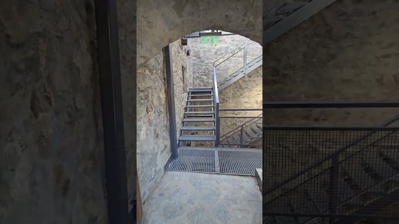 Urcarea la Cetatea Poenari 🏞️ | 1480 de trepte spre istorieTravel Enthusiast & More
Location on the map
Trails nearby
All trails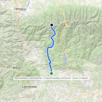 Hard1–2 daysMarkedSălătrucu Scării SaddleElevation profile623–2 147 m39.7 kmascent 1 685 m≈ 12.5 h walking9.8 km from Poenari Citadel: Vlad the Impaler's fortress above the Argeș
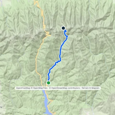 HardOne-dayMarkedTransfăgărășan Podragu Saddlevia Buda ValleyElevation profile855–2 297 m23.1 kmascent 1 545 m≈ 8.5 h walking11 km from Poenari Citadel: Vlad the Impaler's fortress above the Argeș
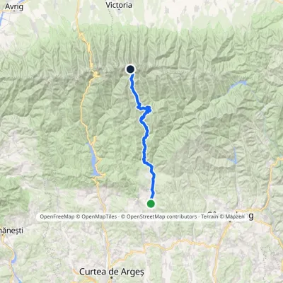 HardTwo-dayMarkedNucșoara Moldoveanu PeakElevation profile579–2 544 m46.3 kmascent 2 402 m12 km from Poenari Citadel: Vlad the Impaler's fortress above the Argeș
Nearby attractions
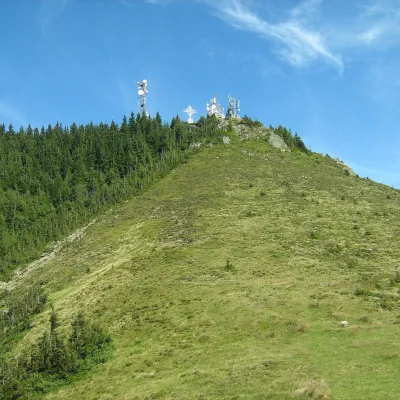 PeakCozia Peak (Ciuha Mare)Drăgăneștialtitude 1 668 m24 km from Poenari Citadel: Vlad the Impaler's fortress above the ArgeșCozia Peak, also Ciuha Mare (Romanian Vârful Cozia), is the highest summit of the Cozia massif, at 1,668 m, in the central part of the Southern Carpathians in Romania,...
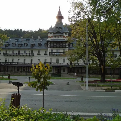 Water parks & thermal poolsCălimănești-Căciulata: thermal pools and springs in the Olt gorgePăușa26 km from Poenari Citadel: Vlad the Impaler's fortress above the ArgeșCălimănești-Căciulata is one of Romania's best-known spas, stretching along both banks of the Olt where the river enters its gorge between the Cozia massif and the...
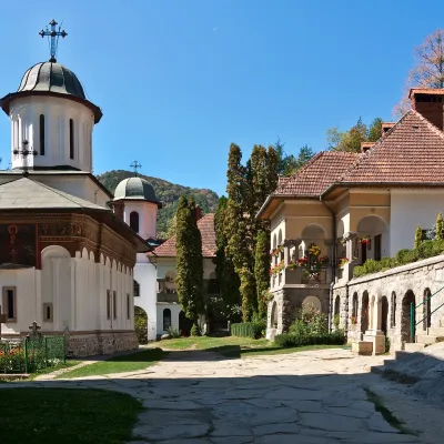 ChurchTurnu Monastery: hermits' rock-cut cells above the OltPăușa27 km from Poenari Citadel: Vlad the Impaler's fortress above the ArgeșTurnu Monastery (Mănăstirea Turnu) stands on the left bank of the Olt at the foot of the Cozia massif, about 2 km upstream from Cozia Monastery, within the spa town of...
Craft nearby
All craft places Craft producersDieter’s Bread in Câmpulung: wood-fired artisan breadCâmpulung34 km from Poenari Citadel: Vlad the Impaler's fortress above the ArgeșCâmpulung (also called Câmpulung Muscel) is an old town in Argeș County at the foot of the Iezer-Păpușa Mountains, on the road to the Rucăr–Bran pass.
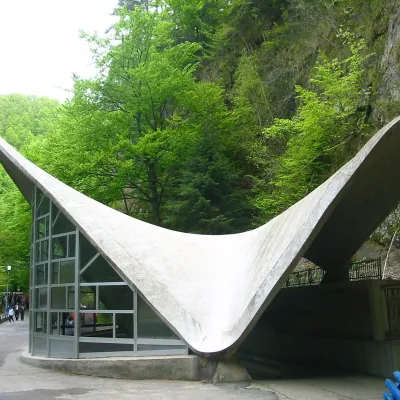 Water parks & thermal poolsBăile Olănești: sulphur and iodine springs of VâlceaBăile Olănești35 km from Poenari Citadel: Vlad the Impaler's fortress above the ArgeșBăile Olănești is a mineral-water spa in Vâlcea County, in the valley of the Olănești river, at about 450 m and roughly 20 km north-west of the town of Râmnicu Vâlcea.
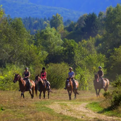 Horse ridingHermannstadt Mountain Horses: horse rides below the FăgărașPorumbacu de Sus38 km from Poenari Citadel: Vlad the Impaler's fortress above the ArgeșHorses in the Avrig Valley below the Făgăraș Hermannstadt Mountain Horses (Hermannstadt is the old German name of Sibiu) is a riding stable in the Avrig Valley (Valea...
