Piatra Secuiului
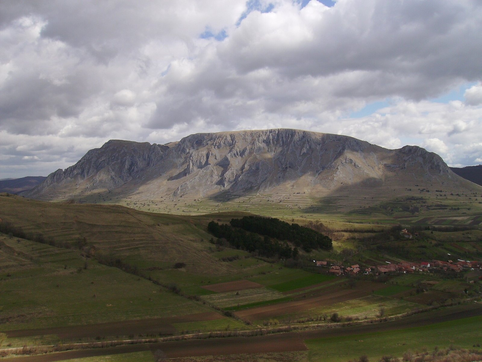
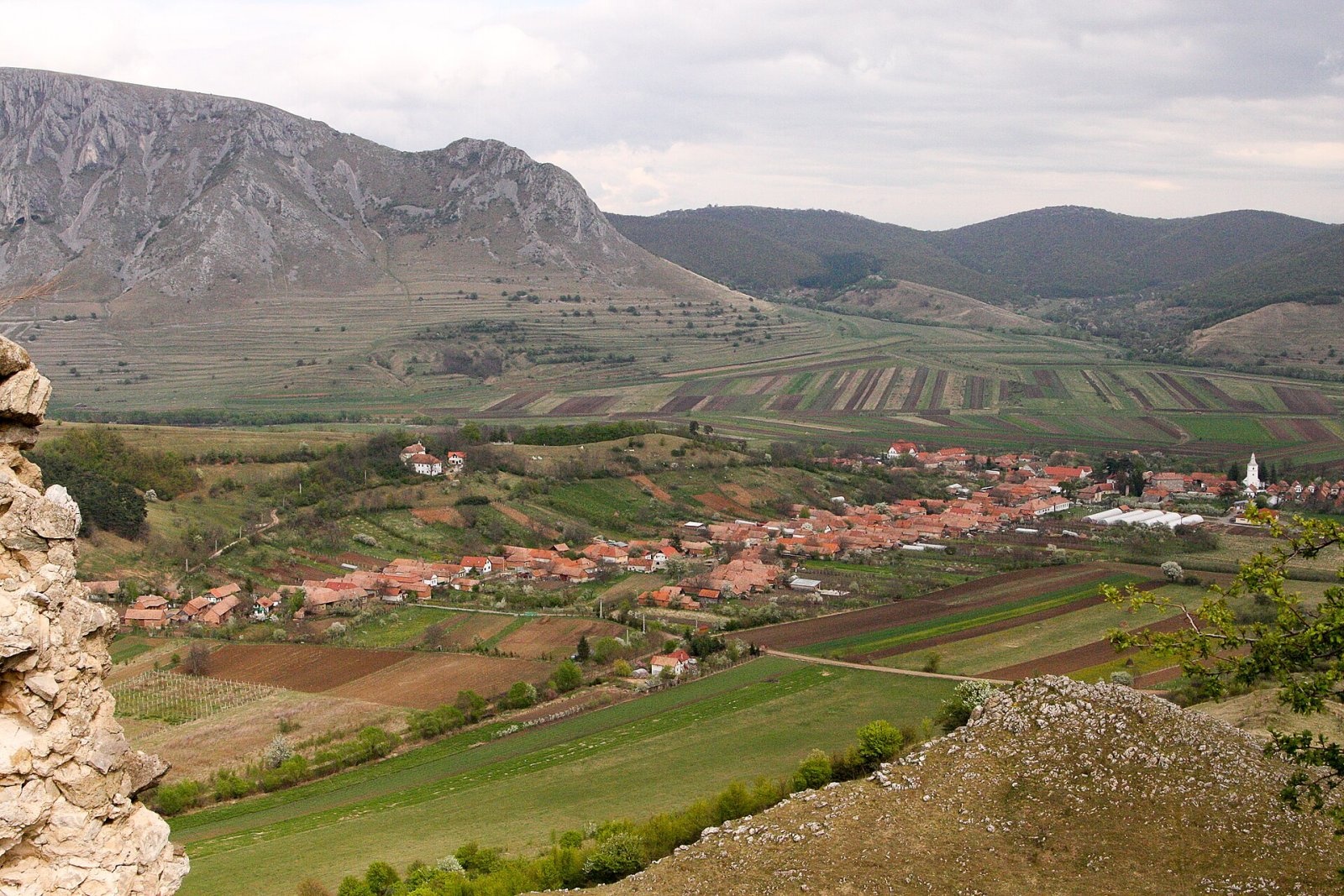
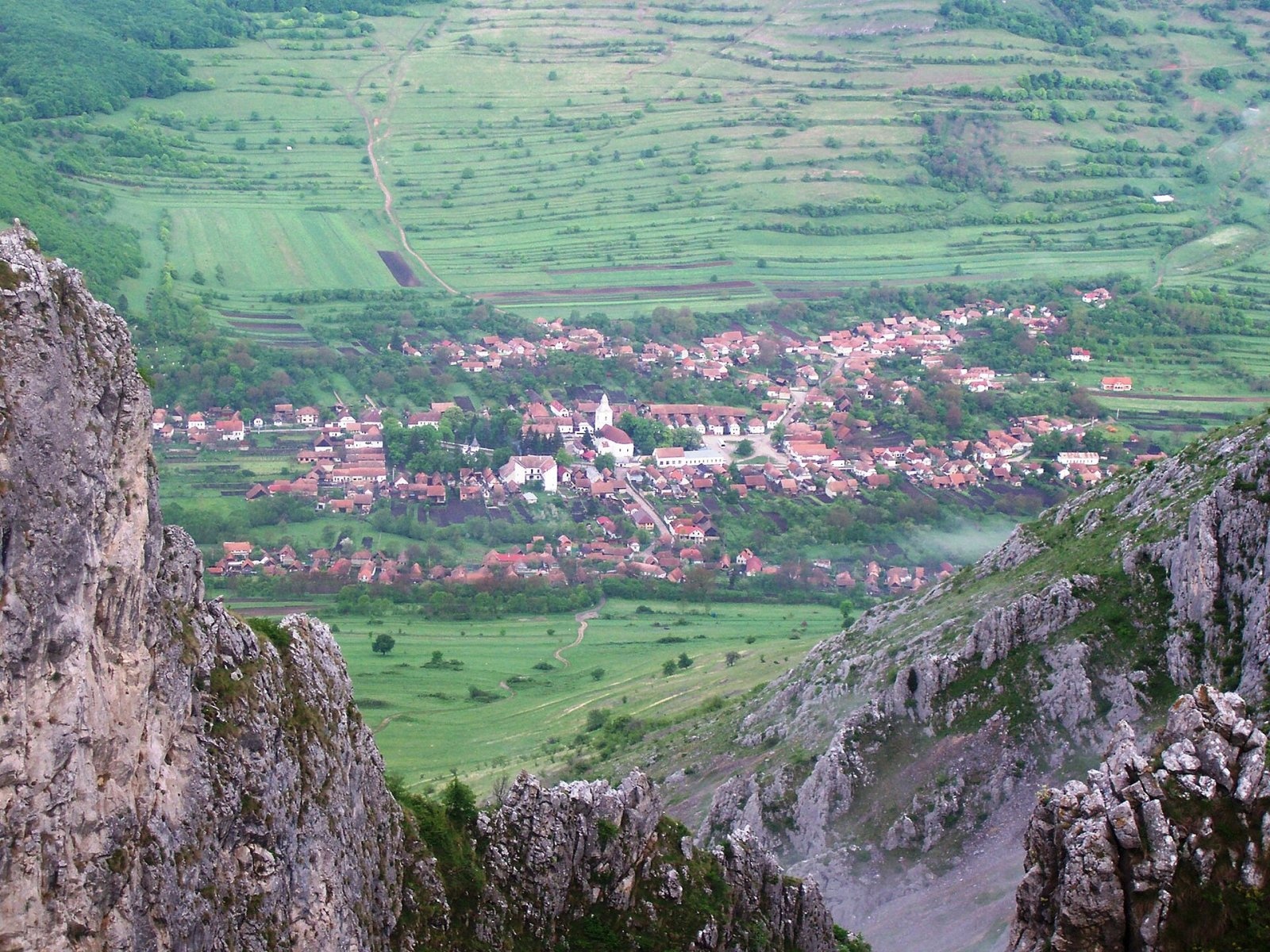

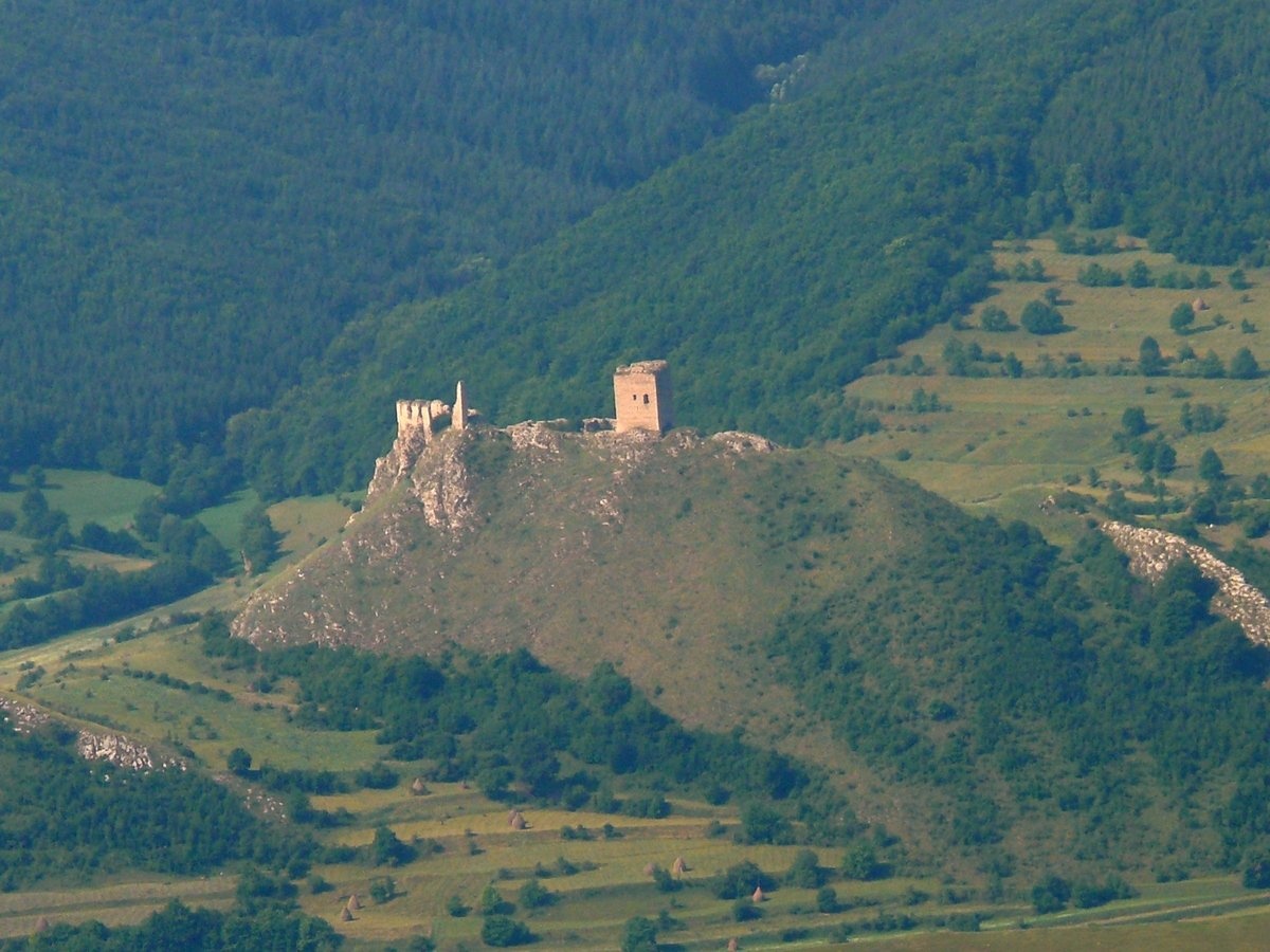
Piatra Secuiului (Romanian: Piatra Secuiului, Hungarian: Székelykő, also Colții Trascăului) is a bare limestone peak at 1,129 m in the Trascău and Metaliferi Mountains, east of the village of Rimetea (about 1.7 km as the crow flies), on the border of Alba and Cluj Counties. The massif lies between the villages of Rimetea and Pietroasa; the nearest settlements also include Colțești (about 3.5 km) and Podeni (about 4.6 km).
The two summits of the rock are separated by a deep, steep ravine, so for an observer standing to the west, the sun rises twice: it appears, hides behind the rock, and then emerges again. This effect was described by Hungarian writer Mór Jókai in his novel "God is One".
Nature and history
The name of the rock dates back to the Mongol invasion of the 13th century. According to Romanian and Hungarian Wikipedia, the area was defended by Székely troops, who were rewarded with lands around Rimetea. On one of the summits they built the Székely Fortress — with a tower and two walls blocking the only path to the top. Around the same time, about 5 km from here, the Trascău Fortress was built near Colțești.
The varied relief of the area is explained by different rocks: limestone, sandstone, conglomerates, and volcanic rocks; elevations in the surroundings range from 300 to 1,280 m.
Getting there / routes
The easiest ascent is from the main square of Rimetea, following the blue cross trail. According to Hungarian Wikipedia, the marked route requires no special preparation, just general physical fitness; leaving the trail is recommended only for experienced and well-equipped people, as the surrounding rocky terrain is challenging.
According to muntii-nostri.ro, you can do a loop: Colțești — Piatra Secuiului — Rimetea — Colțești (13.8 km, about 4.5 hours, 590 m ascent, medium difficulty): from the Konakul-Sekuiesc guesthouse, the easier option skirts the mountain, while the harder one goes straight up to the geodetic marker on the summit; descent is through the forest to Rimetea. From Moldovenești, a bike and hiking trail leads to the rock via the Pietroasa Gorge and the village of Podeni (recommended from March to October); from the summit, according to its description, there are great views of Rimetea, the Trascău Fortress in Colțești, and the limestone cliffs of the Trascău Mountains.
The saddle between Piatra Secuiului and Colții Trascăului is also crossed by the long red stripe trail from Cluj-Napoca to the Rimetea hut; as of the time of writing, the Rimetea — Bedeleu plateau section is temporarily closed. Below the summit are Kőkerti forrás and mászó forrás.
The view from the top
According to Hungarian Wikipedia, the panorama from the summit is beautiful, and in clear weather you can even see Turda.
Safety, season and rules
The limestone cliffs are steep, especially on the east and near the ravine: do not approach the edge and do not leave the marked trail in fog or after rain, when the rock is slippery. Bears are common in the Romanian Carpathians: stay on marked paths, make noise, avoid dusk, and do not keep food in your tent; near sheepfolds, shepherd dogs may attack — do not run, stop and shield yourself with your backpack (advice from Salvamont România).
In case of emergency, call the national mountain rescue dispatcher 0SALVAMONT — 0725 826 668 or 112.
Photos: Brgh, CC BY-SA 3.0; Daria Bârsan, CC BY-SA 4.0; Pumeks, CC BY-SA 4.0; jeffwarder, CC BY-SA 3.0; Dora Domsa, CC BY-SA 3.0 ro — Wikimedia Commons.
Getting there from Ukraine
Border crossings
- Porubne – Siret — road and pedestrian, 24/7
- Diakivtsi – Racovăț — road and pedestrian, 24/7 No freight traffic.
- Krasnoilsk – Vicovu de Sus — road and pedestrian, 08:00–20:00 Cars up to 3.5 t and pedestrians only; not 24/7.
- Solotvyno – Sighetu Marmației — road and pedestrian, 24/7 Passenger traffic only: vehicles up to 3.5 t with up to 9 seats, pedestrians.
- Diakove – Halmeu — road, 24/7 No pedestrian crossing.
By car
Rakhiv – Cluj-Napoca ≈219 km, ≈3 h 44 min (via Solotvyno – Sighetu Marmației); Ivano-Frankivsk – Cluj-Napoca ≈353 km, ≈6 h 04 min (via Solotvyno – Sighetu Marmației); Chernivtsi – Cluj-Napoca ≈343 km, ≈6 h 28 min (via Krasnoilsk – Vicovu de Sus). Times without border queues, our road routing (GraphHopper, OSM).
Checked 03.11.2026; border crossing hours and timetables change — check before you travel.
Comments
Travellers’ experience: reports, tips, questions.
No one has reported on this trail yet. Been here lately? Tell others what it is like now.
Location on the map
Water and shelter nearby
- Kőkerti forrás310 m · Not verified · 963 m
- mászó forrás310 m · Not verified · 904 m
- Kőkút1.2 km · Not verified · 531 m
- Cigány vajor Spring1.6 km · Not verified · 515 m
- Drinking water below Colții Trascăului1.8 km · Not verified · 532 m
- Spring below Dealu Roșu (north-west slope)1.9 km · Not verified · 719 m
- Spring below Țibloc1.9 km · Not verified · 538 m
- Szurdiki vajor Spring1.9 km · Not verified · 535 m
- Spring «Felső utcai vajor»2 km · Not verified · 541 m
Trails nearby
All trails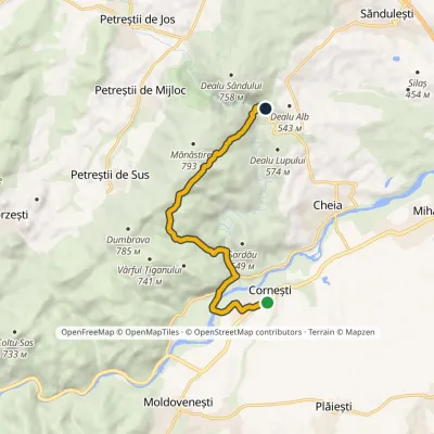 EasyOne-dayMarkedCornești Cheile Turzii HutElevation profile342–726 m9 kmascent 389 m≈ 3 h walking11 km from Piatra Secuiului
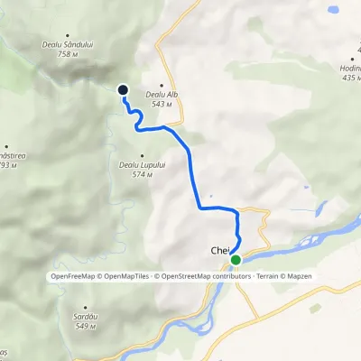 EasyOne-dayMarkedCheia Cheile Turzii HutElevation profile341–516 m3.9 kmascent 187 m≈ 1.5 h walking14 km from Piatra Secuiului
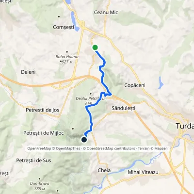 EasyOne-dayMarkedTureni Cheile Turzii HutElevation profile442–672 m9.8 kmascent 235 m≈ 3 h walking15 km from Piatra Secuiului
Nearby attractions
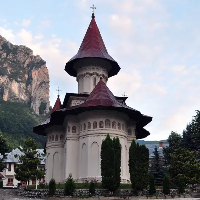 ChurchRâmeț Monastery: 1377 frescoes in the Trascău MountainsValea Mănăstirii17 km from Piatra SecuiuluiRâmeț Monastery (Mănăstirea Râmeț) is one of the oldest monastic settlements in Transylvania. It stands in the Geoagiu valley, known locally as the «Monastery Valley»,...
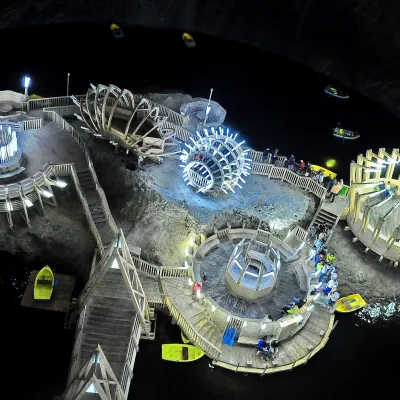 Water parks & thermal poolsSalina Turda: a lake 112 m underground and speleotherapyTurda22 km from Piatra SecuiuluiThe Turda Salt Mine (Salina Turda) is one of Romania's best-known underground sights, on the edge of the town of Turda in Cluj County, a few dozen kilometres from Cluj...
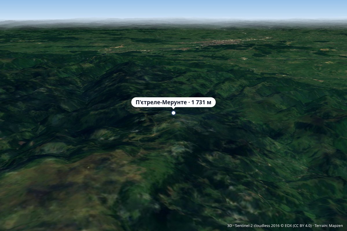 PeakPietrele MărunteMuntele Cacoveialtitude 1 731 m25 km from Piatra SecuiuluiVârful Pietrele Mărunte, “Small Stones”) is a 1,731 m peak in the Gilău – Muntele Mare Mountains (Western Romanian Carpathians), on the border of Alba and Cluj Counties.