Nemira Mare
Nemira Mare (Rom. Vârful Nemira Mare, Hun. Nagy-Nemere) is the highest peak of the Nemira Mountains in the Eastern Carpathians, with an elevation of 1,649 m. According to Romanian Wikipedia, it is the second highest peak in Bacău County after Grinduşu (1,664 m) in the Tarcău Mountains. It stands on the main ridge of the Nemira Mountains, which stretches along the watershed for 32 km; other peaks over 1,600 m on this ridge are Nemira Mică (1,629 m) and Șandru Mare (1,640 m, the second highest in these mountains).
Near these summits, the ridge emerges into the treeless alpine zone of the "Plaiurile și stâncăriile Nemirei" nature reserve, covering 671 ha. The nearest settlements are the resort of Slănic-Moldova (about 10.4 km in a straight line) and Valea Uzului (about 11.1 km).
Nature and history
On the summit stand a geodetic marker and a state triangulation network pyramid, as well as preserved trenches and artillery positions from World War I.
The view from the top
According to Romanian Wikipedia, the panorama from Nemira Mare is circular. To the north, you can see the main ridge with the peaks Farcu Mare and Farcu Mic, and on the horizon beyond the Uz valley, the Laposh peak and the Ciucului Mountains. To the east lies the Plaiul Cunjgetului ridge between the Izvorul Negru and Cunjget streams, the Doftiana valley, and on the horizon the Berzunți Mountains. To the south is the main ridge with the peaks Nemira Mică and Șandru Mare; to the west, the Apa Roșie valley, and on the horizon the Repatului and Bodoc Mountains.
Getting there / routes
The main ridge route of the Nemira Mountains is marked with a blue stripe: "Poiana Uzului — Șandru Mare — Slănic-Moldova". According to muntii-nostri.ro, it starts near the former campsite in Slănic-Moldova, ascends the Giroș spur (crossing a forest road after 4.2 km), then continues 4.4 km along the Caprioara ridge to the base of Șandru Mare. The trail then skirts Nemira Mică from the west for 5.9 km, reaches the Nemira saddle, passes the Poiana de Vânat clearing, and after 1.6 km arrives at the spot below Nemira Mare. The final 12.1 km of the route bypass Nemira Mare from the west, pass over the Farcu Mare and Farcu Mic peaks (with views of the Poiana Uzului reservoir), and descend to the DJ123 road near the Nasolya Mare waterfall. The entire route is 28.5 km, about 12 hours, with 1,501 m elevation gain — a challenging trek.
From the summit itself, a short green dot trail descends east along the Plaiul Cunjgetului ridge (3.5 km, about 550 m descent, 1.5–2 hours), connecting the ridge route with the eastern spur main trail (yellow stripe). According to descriptions, there is a spring about 5 minutes' walk below the summit.
Safety, season and rules
The Nemira Mountains routes are long and little-frequented, so allow extra time and carry an offline map. In winter, unbroken trails, according to muntii-nostri.ro, significantly increase travel time. In the reserve, stay on the trails and do not pick plants. Bears are common in the Romanian Carpathians: do not leave marked trails, make noise, avoid dusk, and do not keep food in your tent; near sheepfolds, shepherd dogs may attack — do not run, stop and shield yourself with your backpack (advice from Salvamont România).
In case of emergency, call the national mountain rescue dispatcher 0SALVAMONT — 0725 826 668 or 112.
Getting there from Ukraine
Border crossings
- Porubne – Siret — road and pedestrian, 24/7
- Diakivtsi – Racovăț — road and pedestrian, 24/7 No freight traffic.
- Krasnoilsk – Vicovu de Sus — road and pedestrian, 08:00–20:00 Cars up to 3.5 t and pedestrians only; not 24/7.
- Solotvyno – Sighetu Marmației — road and pedestrian, 24/7 Passenger traffic only: vehicles up to 3.5 t with up to 9 seats, pedestrians.
- Diakove – Halmeu — road, 24/7 No pedestrian crossing.
By car
Chernivtsi – Durău ≈204 km, ≈3 h 54 min (via Diakivtsi – Racovăț); Ivano-Frankivsk – Durău ≈342 km, ≈6 h 11 min (via Diakivtsi – Racovăț); Rakhiv – Durău ≈313 km, ≈6 h 18 min (via Solotvyno – Sighetu Marmației). Times without border queues, our road routing (GraphHopper, OSM).
Checked 03.11.2026; border crossing hours and timetables change — check before you travel.
Comments
Travellers’ experience: reports, tips, questions.
No one has reported on this trail yet. Been here lately? Tell others what it is like now.
Nearby attractions
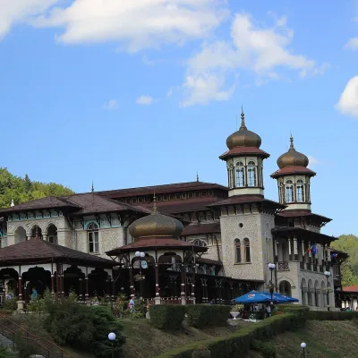 Water parks & thermal poolsSlănic-Moldova: mineral springs of the Pearl of MoldaviaSlănic-Moldova10 km from Nemira MareSlănic-Moldova is a mountain balneoclimatic spa in Bacău County, on the eastern slopes of the Eastern Carpathians at the foot of the Nemira Mountains.
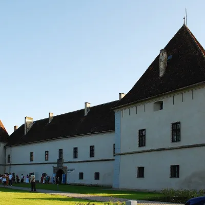 CastleMikó Castle in Miercurea Ciuc: the Csík Székely MuseumMiercurea Ciuc42 km from Nemira MareMikó Castle (Cetatea Mikó, Hungarian Mikó-vár) stands in the very centre of Miercurea Ciuc (Csíkszereda), the capital of Harghita County and of the historical Csík...
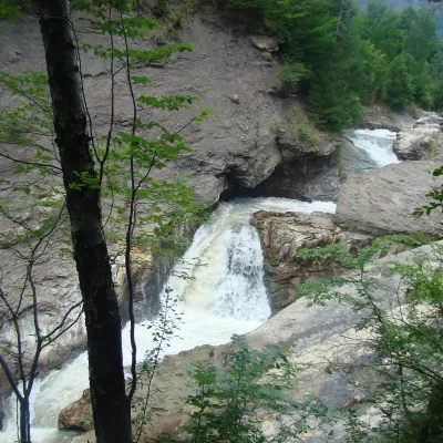 WaterfallPutna Waterfall (Cascada Putnei)Lepșa · Vrancea Mountains42 km from Nemira Mare546 m above sea levelPutna Waterfall (Cascada Putnei, also called Săritoarea Putnei) is on the Putna river near the village of Lepșa in Tulnici commune, Vrancea County.
Craft nearby
All craft places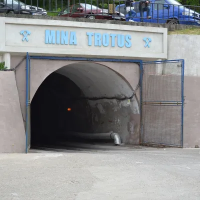 Water parks & thermal poolsTârgu Ocna Salt Mine: breathing therapy 240 m undergroundTârgu Ocna22 km from Nemira MareThe Târgu Ocna Salt Mine (Salina Târgu Ocna) is one of Romania's oldest and the country's third-largest salt mine.
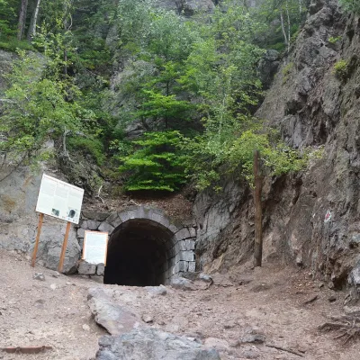 Water parks & thermal poolsBalvanyos: the Stinky Cave, mofettes and iron-rich springsBăile Bálványos33 km from Nemira MareBalvanyos (Hungarian Bálványosfürdő) is a small mountain resort in Covasna County, on the land of Turia commune, north-west of the town of Târgu Secuiesc.
 Craft beer & breweriesCsíki Sör brewery in Sânsimion: Harghita craft beerSânsimion34 km from Nemira MareA Harghita beer that defended its own name Sânsimion (Hungarian: Csíkszentsimon) is a village in the Ciuc (Csík) basin in the east of Székely Land, a few kilometres...
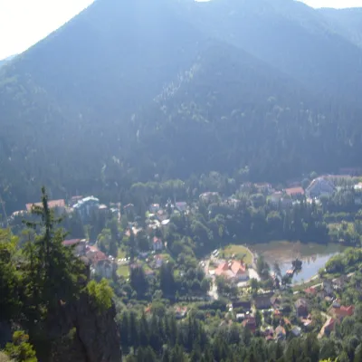 Water parks & thermal poolsBăile Tușnad: mofette, sparkling springs and the Olt valleyBăile Tușnad38 km from Nemira MareBăile Tușnad is a small spa town in Harghita County, in the southern part of the Ciuc Depression, where the Olt cuts a gorge between the Harghita and Bodoc mountains.
 Cheese dairies & pasturesUzOnkA farm in Ozunca-Băi: aged mountain cheesesOzunca-Băi45 km from Nemira MareA mountain farm where cheese ripens in a stone cellar Ozunca-Băi (Hungarian: Uzonkafürdő) is a small mountain settlement in Covasna County at about 700 metres above...
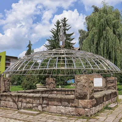 Water parks & thermal poolsCovasna: resort of a thousand springs, mofettes and heart careCovasna47 km from Nemira MareCovasna is a spa town in Covasna County, at the south-eastern edge of the Eastern Carpathians, where the mountains bend round in the Curvature Carpathians.
