Bâlea Waterfall (Cascada Bâlea)
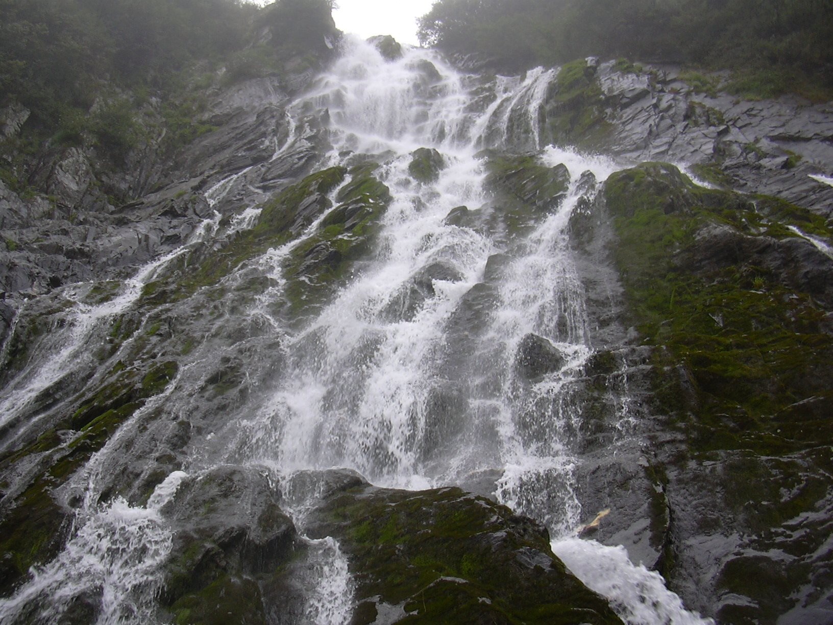
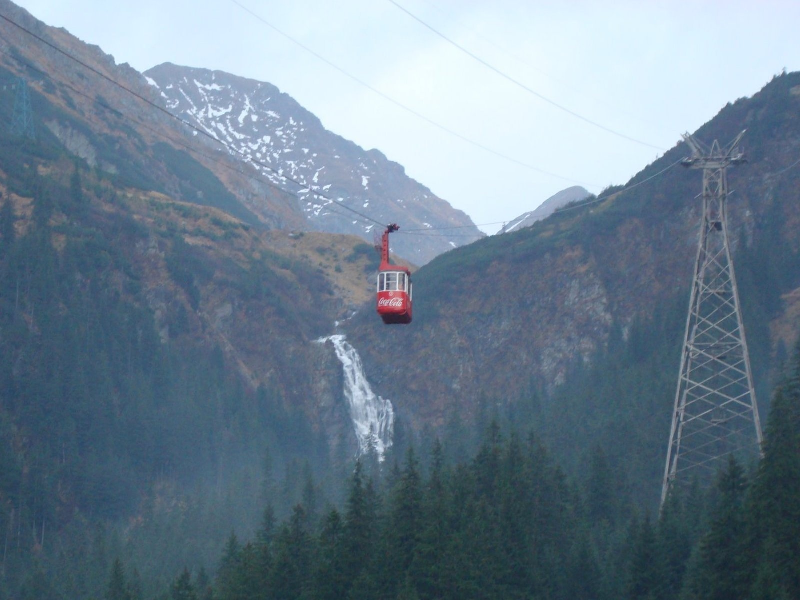
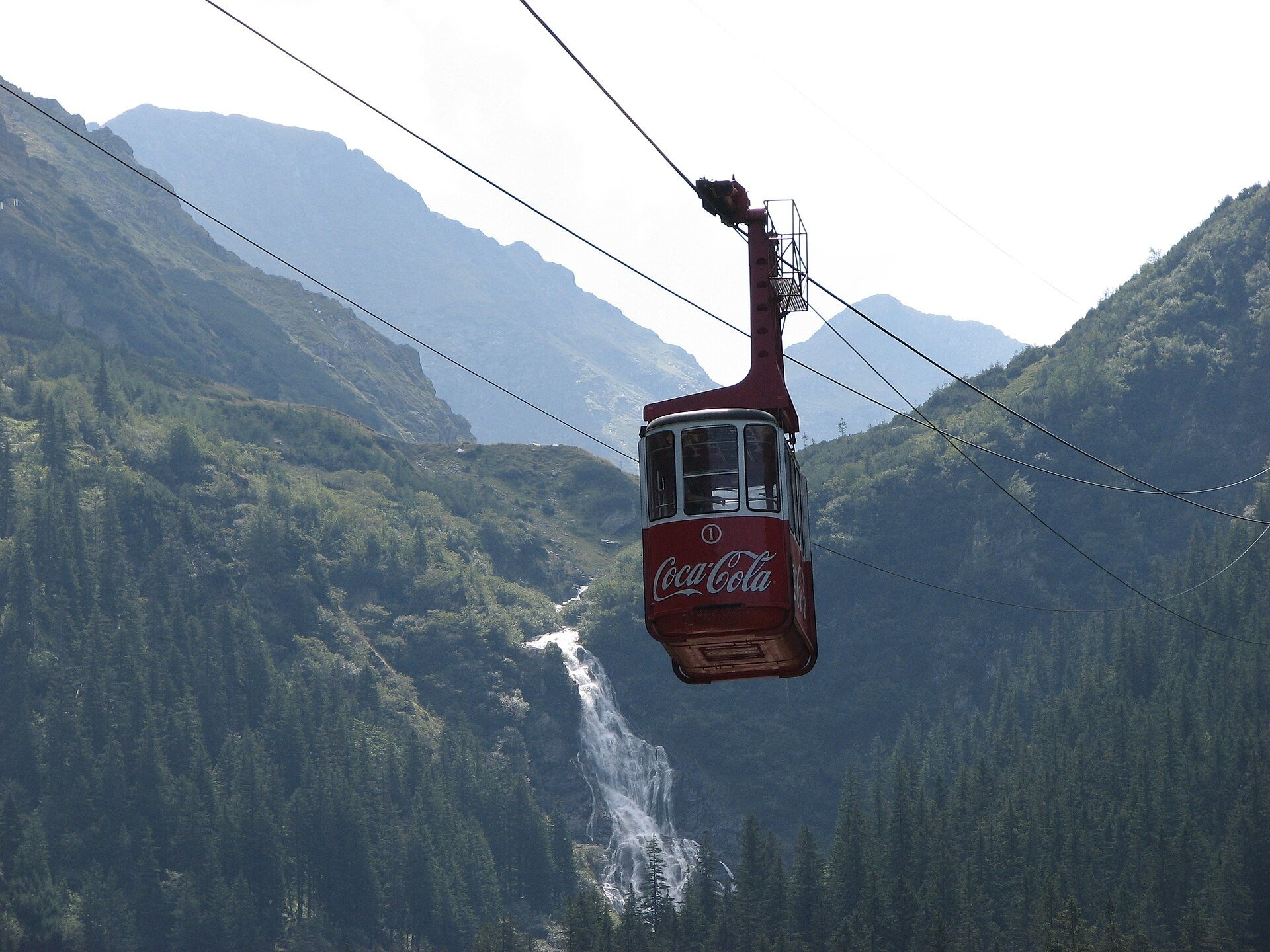
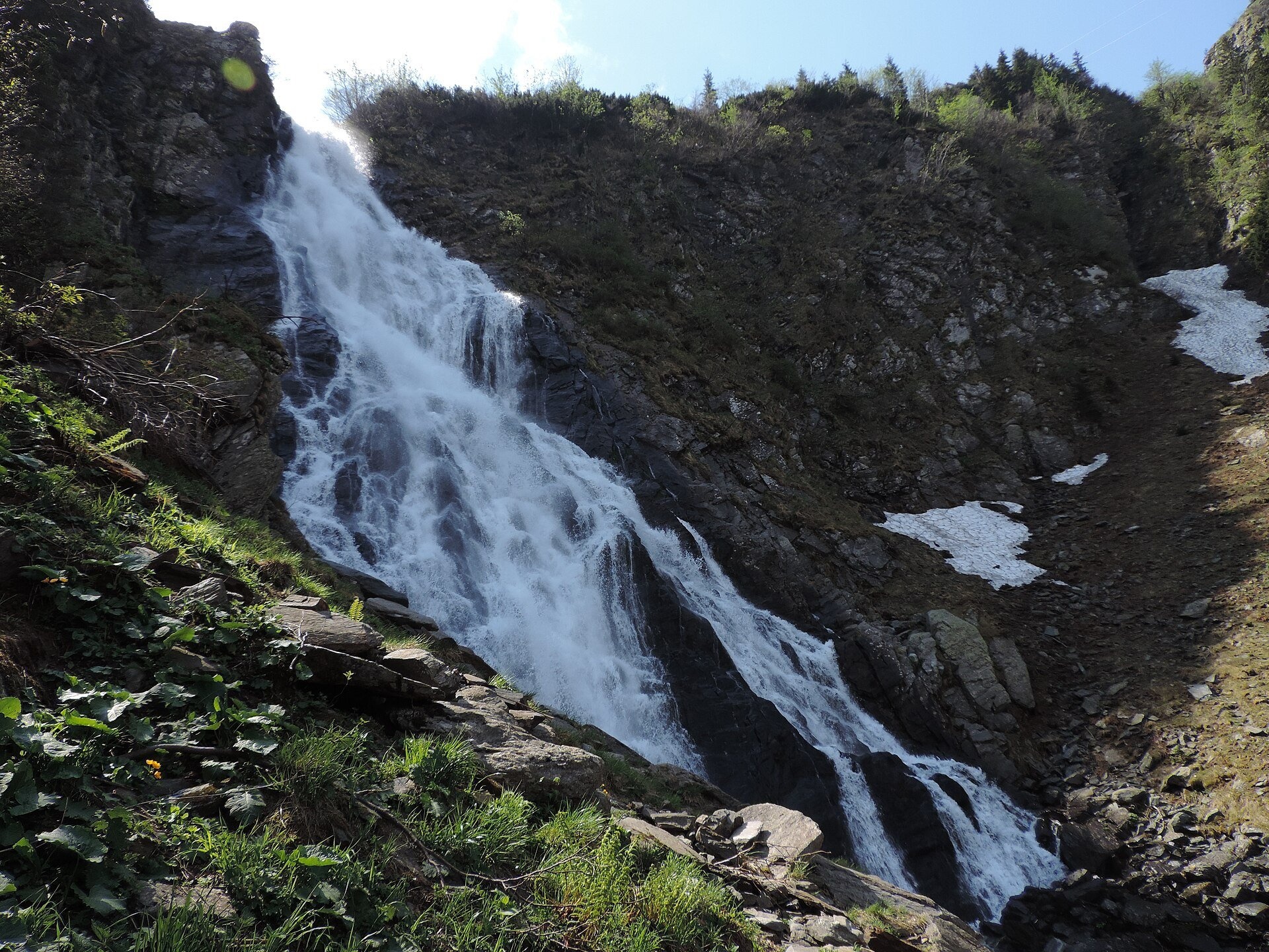
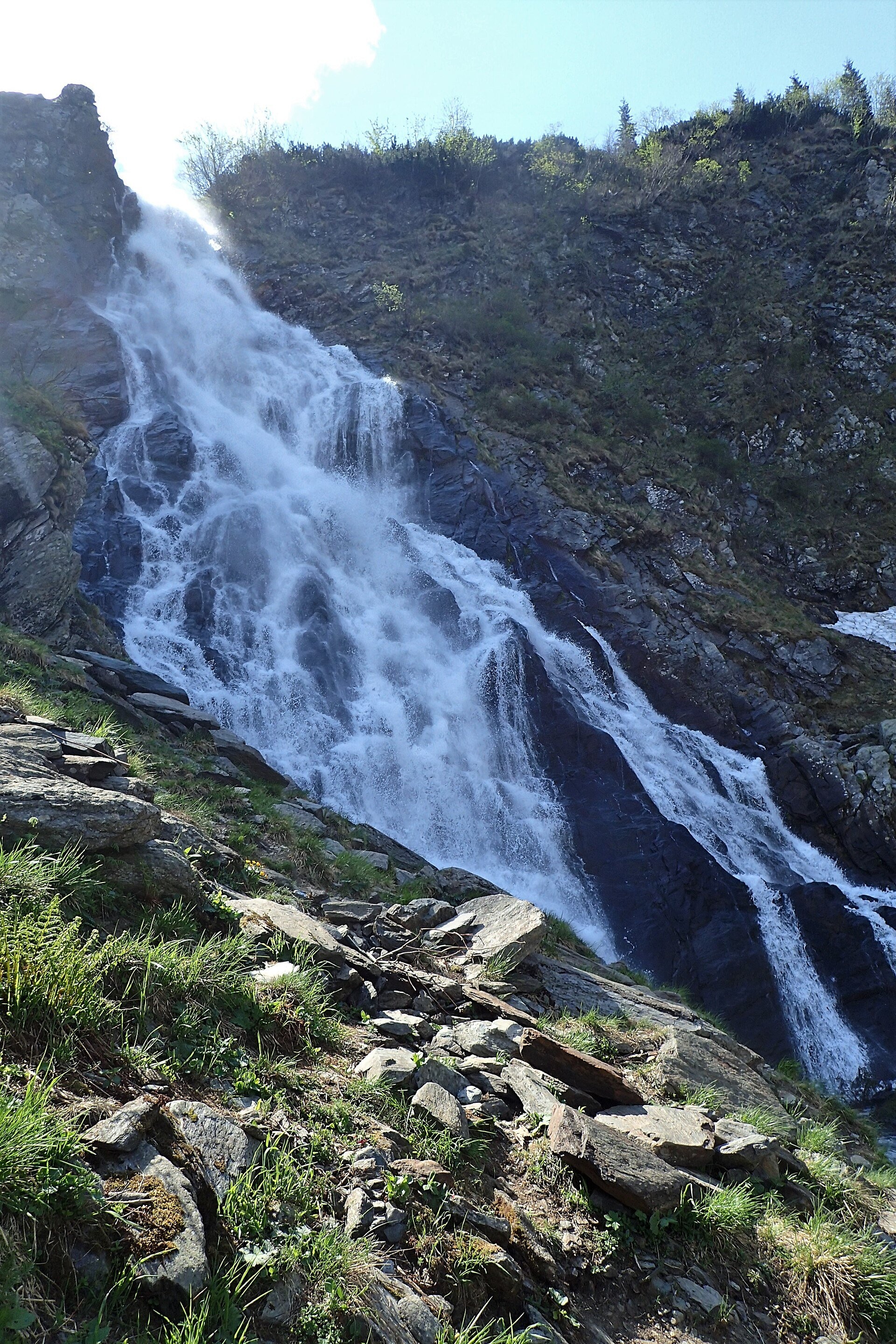
Bâlea Waterfall (Cascada Bâlea), also called Urlătoarea Bâlei because of the roar of the water, lies on the northern, Sibiu side of the Făgăraș Mountains, between the peaks of Moldoveanu and Negoiu, at more than 1,200 m. The Bâlea stream falls here in steps for about 60 m; the Romanian Wikipedia calls it the largest stepped waterfall in the country. The rock step marks the lower threshold of the Bâlea glacial valley, with the lake of the same name at its head.
What to see
From the path, which ends at about 1,460 m, you see only the lower part of the falls; the upper steps lie at roughly 1,500 m. As the Munții Noștri guide notes, the full height is best seen from the cable car that links the Bâlea Cascadă hut with Bâlea Lake (2,034 m), so the walk to the foot of the falls is often combined with a ride up to the lake.
How to get there
The starting point is the Bâlea Cascadă hut on the Transfăgărășan (road DN7C), on the Cârțișoara side. Trail no. 31, marked with a red dot, starts here: 1.3 km, 45 min – 1 h one way, about 244 m of ascent, graded easy (Munții Noștri data). For the first five minutes the path runs together with the red cross and the blue triangle; they then turn left across the stream, while the red dot keeps to the eastern bank — first on a wide path to the power-line poles, then steeply up above the stream to the foot of the waterfall.
Season and safety
In summer this is a short walk, but the last section is steep. In winter, according to Munții Noștri, the route is dangerous (exposed) and passable only depending on snow conditions and with proper winter equipment. The high section of the Transfăgărășan is closed in winter; Bâlea Lake is then reached by the cable car from Bâlea Cascadă. Check the road status with the Romanian road administration before you travel.
Bears live in the Romanian Carpathians: stay on the marked path, talk as you walk and leave no food or litter; near sheepfolds do not run from the shepherd dogs — stop and calmly walk around the flock. Mountain rescue (Salvamont): national dispatch 0SALVAMONT — 0725 826 668 or 112; the service's advice for hikers is at salvamontromania.ro.
Photos: Jopsens, CC BY-SA 3.0, Wikimedia Commons; Țetcu Mircea Rareș, CC BY-SA 4.0, Wikimedia Commons; Cristian Bortes www.eyeem.com/bortescristian from Cluj-Napoca, Romania, CC BY 2.0, Wikimedia Commons; Krzysztof Ziarnek, Kenraiz, CC BY-SA 4.0, Wikimedia Commons.
Getting there from Ukraine
Border crossings
- Porubne – Siret — road and pedestrian, 24/7
- Diakivtsi – Racovăț — road and pedestrian, 24/7 No freight traffic.
- Krasnoilsk – Vicovu de Sus — road and pedestrian, 08:00–20:00 Cars up to 3.5 t and pedestrians only; not 24/7.
- Solotvyno – Sighetu Marmației — road and pedestrian, 24/7 Passenger traffic only: vehicles up to 3.5 t with up to 9 seats, pedestrians.
- Diakove – Halmeu — road, 24/7 No pedestrian crossing.
By car
Rakhiv – Sibiu ≈390 km, ≈5 h 33 min (via Solotvyno – Sighetu Marmației); Ivano-Frankivsk – Sibiu ≈524 km, ≈7 h 52 min (via Solotvyno – Sighetu Marmației); Chernivtsi – Sibiu ≈435 km, ≈8 h 00 min (via Diakivtsi – Racovăț). Times without border queues, our road routing (GraphHopper, OSM).
Checked 03.11.2026; border crossing hours and timetables change — check before you travel.
Location on the map
Wildlife nearby
All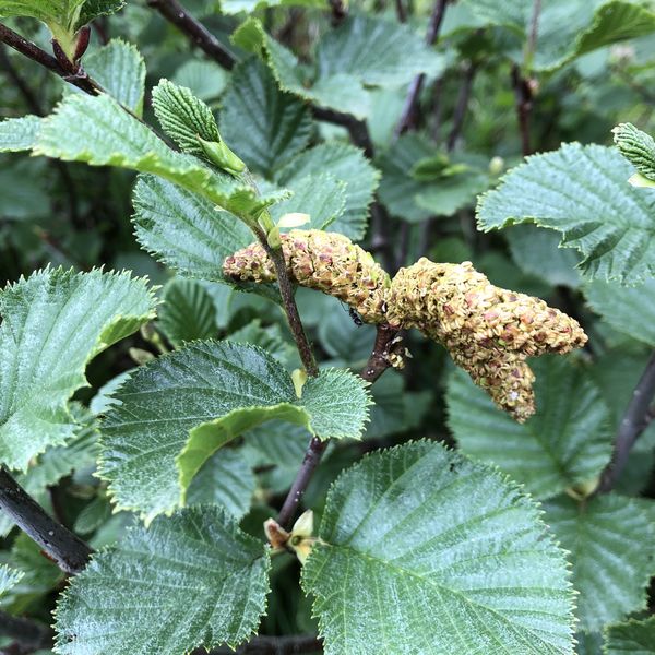
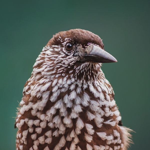
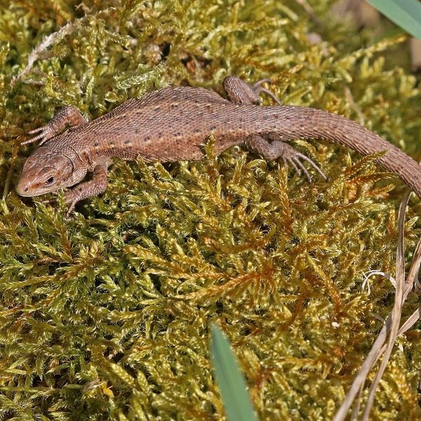
Based on naturalists’ records nearby (GBIF, iNaturalist), matched by altitude, habitat and season. Sightings are not guaranteed.
Comments
Trails nearby
All trails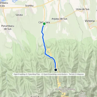 ModerateOne-dayMarkedCârțișoara Bâlea Cascadă HutElevation profile495–1 242 m12 kmascent 749 m≈ 4.5 h walking1.3 km from Bâlea Waterfall (Cascada Bâlea)
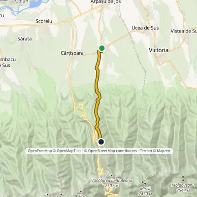 ModerateOne-dayMarkedArpașu de Sus Buteanu RidgeElevation profile490–1 753 m12.2 kmascent 1 264 m≈ 5.5 h walking1.4 km from Bâlea Waterfall (Cascada Bâlea)
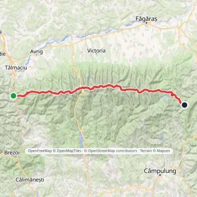 HardMulti-dayMarkedFăgăraș main ridge: Olt Valley Tămașului SaddleElevation profile358–2 525 m93.1 kmascent 6 545 m2.9 km from Bâlea Waterfall (Cascada Bâlea)
Nearby attractions
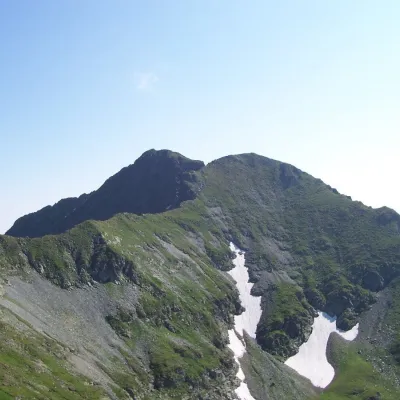 PeakVânătarea lui Buteanualtitude 2 507 m2.9 km from Bâlea Waterfall (Cascada Bâlea)Vânătarea lui Buteanu (Romanian: Vârful Vânătarea lui Buteanu, often also Vânătoarea lui Buteanu) is a 2,507 m summit in the Făgăraș Mountains of the Southern...
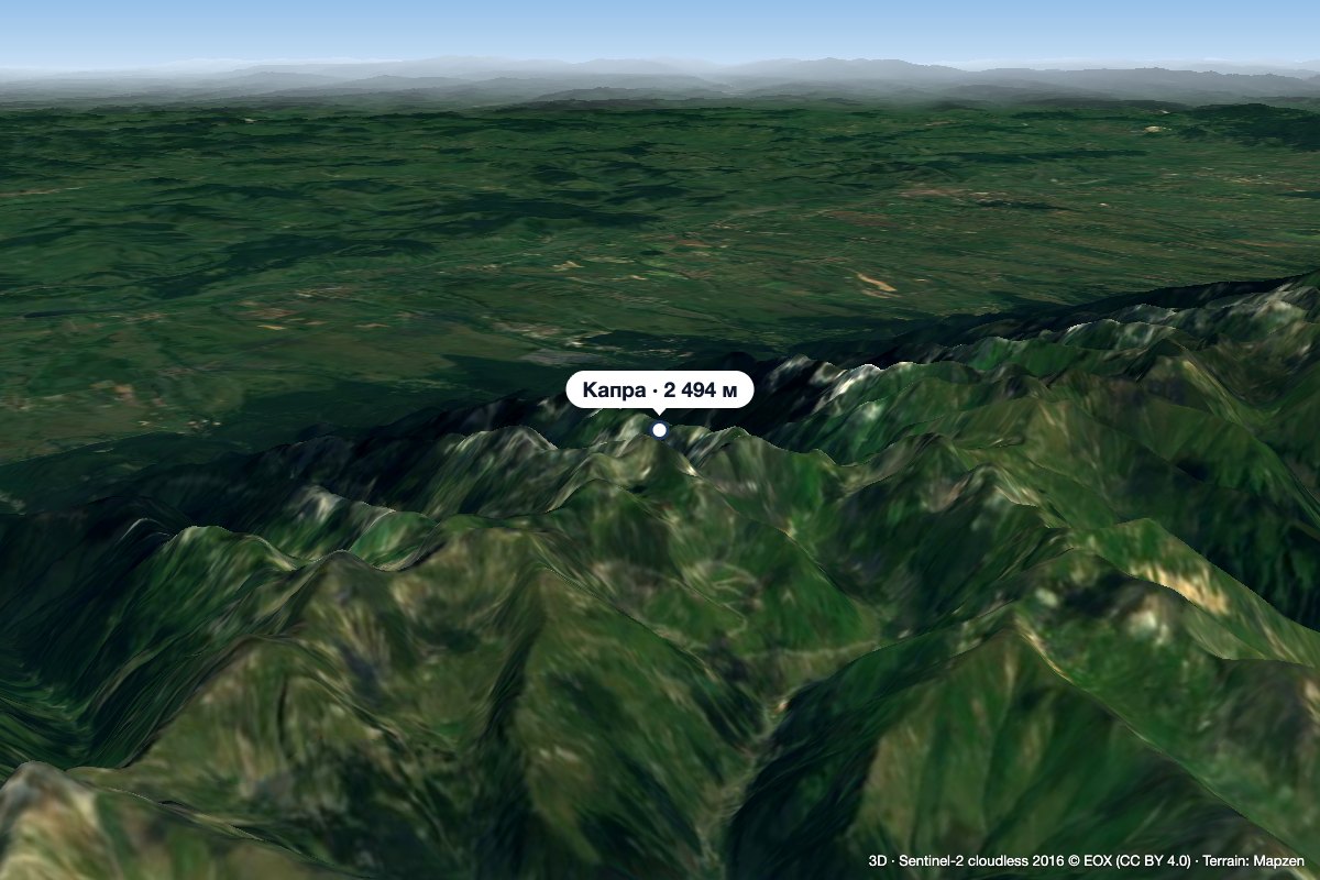 PeakCapra (Făgăraș)altitude 2 494 m3 km from Bâlea Waterfall (Cascada Bâlea)Capra (Romanian: Vârful Capra, Hungarian: Zerge-csúcs, «Chamois Peak») is a 2,494 m summit in the Făgăraș Mountains of the Southern Carpathians, above Lake Bâlea and...
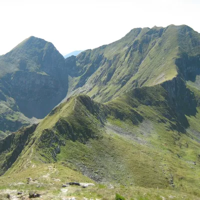 PeakArpașul Marealtitude 2 468 m6 km from Bâlea Waterfall (Cascada Bâlea)1 trail to the topArpașul Mare (Romanian Vârful Arpașul Mare, also Arpașu Mare or Vârtopul) is a 2,468 m summit on the main ridge of the Făgăraș Mountains, on the border of Sibiu and...
