Izvorul Muntelui Hut — Dochia Hut, via Ocolașul Mic Plateau
Trail map
Route, springs and shelters: © OpenStreetMap contributors (ODbL) · elevation: Copernicus DEM © DLR e.V., © Airbus DS · Data & licences
About the trail
Route Izvorul Muntelui Hut – Ocolașul Mic Plateau – Dochia Hut. Has red marking (local route). Waymarking data: OpenStreetMap (© OpenStreetMap contributors, ODbL).
Marked local tourist route. The marking is red, the sign is a vertical stripe on a white background. The length of the route is 6.5 km. Location: mountain massif – Ceahlău, Romania. The route passes through the Ceahlău National Park. According to park rules, entry is allowed only after paying the entrance fee and only on marked trails; tents are set up in designated places, dogs must be kept on a leash, and campfires are prohibited.
At a glance
A one-day route of 6.5 km with 1,034 m of ascent from Izvorul Muntelui Hut to Dochia Hut. Estimated walking time: about 3.5 h, not counting stops. Difficulty: moderate. Waymarking: red.
How we estimate walking time
By Naismith's rule, used by mountain clubs and guidebooks: an average hiker walks 4 km an hour on the flat and needs one more hour for every 600 m of ascent. For this trail: 6.5 km ÷ 4 = 1.6 h + 1,034 m ÷ 600 = 1.7 h, about 3.5 h of walking in total.
- Breaks, snacks and photos: add 20–30 %.
- A heavy pack, children, snow, a wet path or windfall add more; a long steep descent also takes time, especially for the knees.
- The height of the Carpathians (up to 2,655 m) hardly changes the pace — on the ridges wind, fog and weather slow you down.
- Limits: up to 9 h is one day; 9–13 h is a very long day or two; over 13 h means several days with overnight stays.
Route stages
- 0–4 kmClimb of 860 m to Clăile lui Miron
- 4–5.5 kmAlong the ridge at 1,620–1,700 m, past Ocolașul Mare
- 5.5–6.5 kmClimb of 140 m to Ceahlău Plateau
Steepest kilometre: km 2.5–3.5, a climb of 300 m (≈30%), near Poiana Maicilor.
Water and overnight stays
Springs near the trail: at km 0, 2, 4.5 and 5.5. Some springs run low or dry up in late summer.
Huts and shelters near the trail: Ocolașu Mic Hut (km 4.5), Dochia Hut (km 6.5).
When to go
Best time: June to September. In winter only for experienced hikers with proper gear: avalanche danger is possible. About 3 km of the route runs above 1,500 m, where the weather changes quickly — check the forecast.
Getting there
Start: Izvorul Muntelui Hut. This is a one-way route: the finish is 3 km from the start in a straight line, so plan your way back in advance.
FAQ
- How long does the route take?
- Estimated walking time: about 3.5 h, not counting stops.
- Is there water on the route?
- Springs near the trail: at km 0, 2, 4.5 and 5.5. Some springs run low or dry up in late summer.
- Where can I stay overnight?
- Huts and shelters near the trail: Ocolașu Mic Hut (km 4.5), Dochia Hut (km 6.5).
Water and shelter on the route
- Spring below Chica Baiculuikm 0 from the start · Not verified · 811 m
- Spring below Gardul lui Calistru (east slope)km 1.9 from the start · Not verified · 1 104 m
- Spring below Gardul lui Calistru (west slope)km 4.4 from the start · Not verified · 1 705 m
- Ocolașu Mic Hutkm 4.4 from the start · 40 m off the path · Not verified · 1 694 m
- Spring below Piatra Lată din Ghedeonkm 5.7 from the start · Not verified · 1 619 m
- Spring below Dracul, Mireasa și Gura Plânsăkm 6.5 from the start · Not verified · 1 770 m
- Dochia Hutkm 6.5 from the start · Standing · 1 750 m
Comments and trail condition
Travellers’ experience: reports, tips, questions.
No one has reported on this trail yet. Been here lately? Tell others what it is like now.
Wildlife along the route
All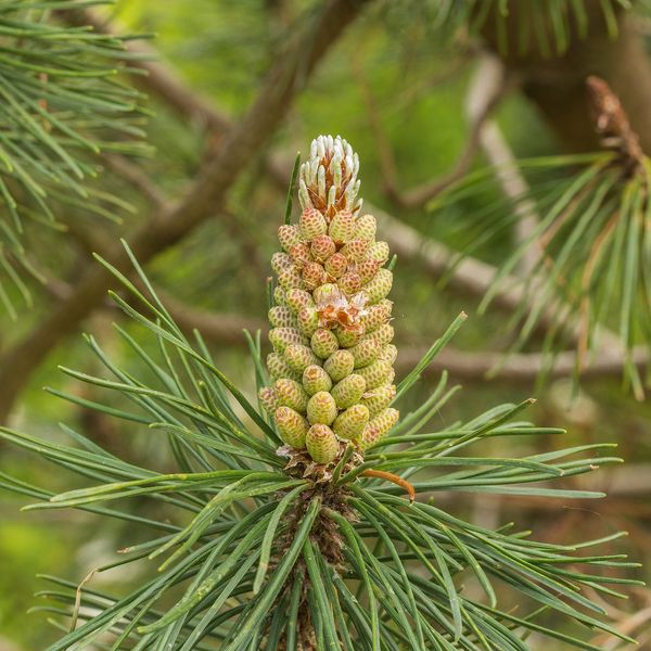
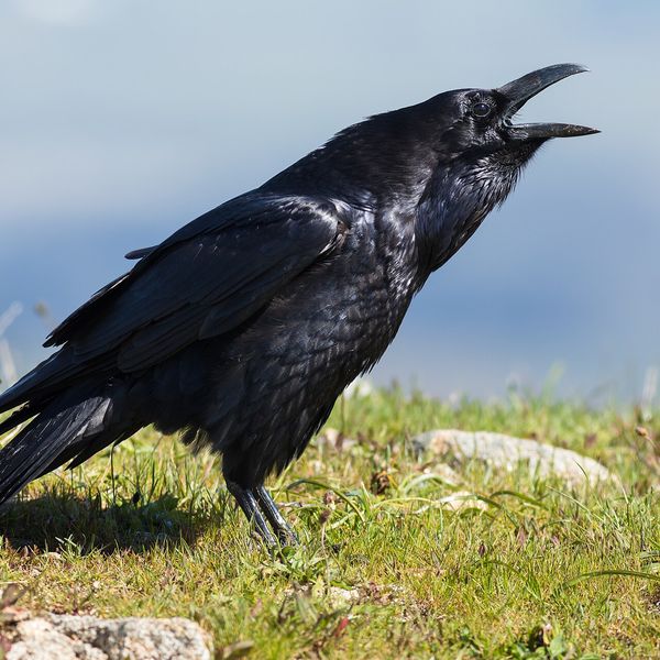
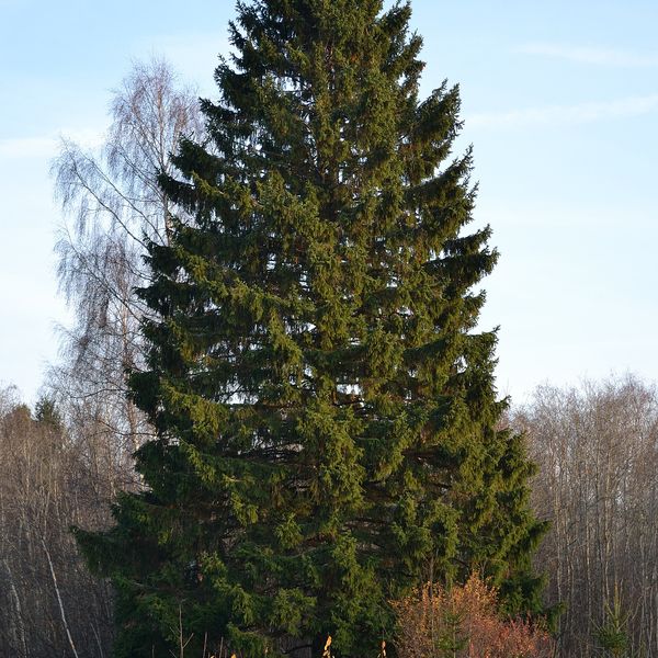
Based on naturalists’ records nearby (GBIF, iNaturalist), matched by altitude, habitat and season. Sightings are not guaranteed.
Trails nearby
All trails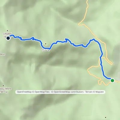 ModerateOne-dayMarkedIzvorul Muntelui Hut Dochia Hutvia Piatra cu ApăElevation profile803–1 767 m5.1 kmascent 963 m≈ 3 h walking
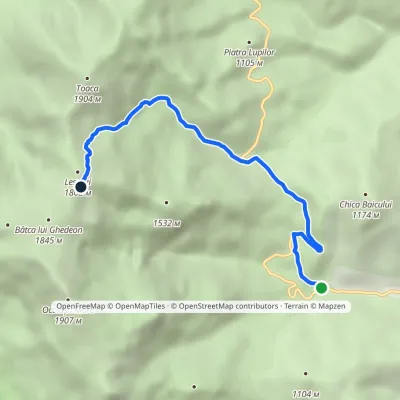 ModerateOne-dayMarkedIzvorul Muntelui Hut Dochia Hutvia Stânca DochieiElevation profile803–1 782 m6.2 kmascent 986 m≈ 3 h walking
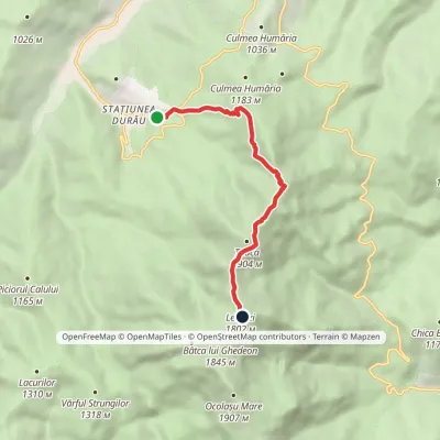 ModerateOne-dayMarkedDurău Dochia HutElevation profile862–1 803 m6.8 kmascent 992 m≈ 3.5 h walking
Craft nearby
All craft places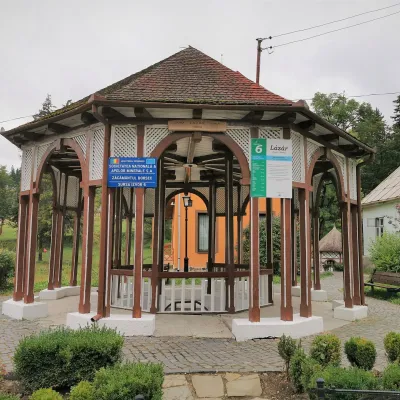 Water parks & thermal poolsBorsec spa: carbonated springs and the Fontana centreBorsec33 km from the trailBorsec is a small spa town in the north-east of Harghita County, lying at 850–950 m in a little basin where the Giurgeu, Bistrița and Călimani mountains meet (Eastern...
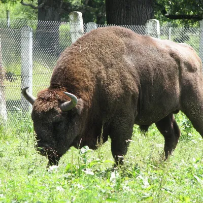 Wildlife parks & animal farmsBison Safari in Vânători-Neamț: a guided walk with a rangerMănăstirea Neamț36 km from the trailThe first place in Romania where the bison came back Vânători-Neamț Natural Park lies on the eastern slopes of the Carpathians near the small town of Târgu Neamț, in a...
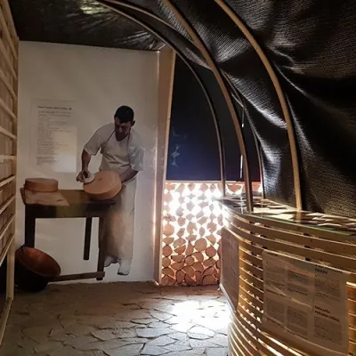 Cheese dairies & pasturesGheorgheni cheese workshop: aged cheeses of the Giurgeu basinGheorgheni38 km from the trailGheorgheni (Hungarian: Gyergyószentmiklós) is the main town of the Giurgeu (Gyergyó) basin in the north of Harghita County, between the Harghita Mountains and the...
