Făgăraș main ridge: Olt Valley — Tămașului Saddle
Trail map
Route, springs and shelters: © OpenStreetMap contributors (ODbL) · elevation: Copernicus DEM © DLR e.V., © Airbus DS · Data & licences
About the trail
Route Făgăraș main ridge: Olt Valley – Tămașului Saddle. Has red marking (national route). Waymarking data: OpenStreetMap (© OpenStreetMap contributors, ODbL).
Marked national tourist route. Marking is red, sign — vertical stripe on a white background. Length of the route — 93.1 km. Location: mountain massif — Făgăraș, Romania. Făgăraș Ridge is not a national park, but a Natura 2000 protected area "Munții Făgăraș" (ROSCI0122) with its own regulations: walk only on marked paths and take your trash with you.
At a glance
A multi-day route of 93.1 km with 6,545 m of ascent from Olt Valley to Tămașului Saddle. Estimated time: 5 days of 5–9 h of walking (about 34 h in total, not counting stops). Difficulty: hard. Waymarking: red.
Route stages
- 0–29 kmClimb of 2,080 m to Negoiu Peak (2,535 m)
- 29–72 kmAlong the ridge at 1,930–2,480 m, past Lespezi, Capra, Viștea Mare, Moldoveanu
- 72–80 kmDescent of 820 m to Curmătura Lerescului
- 80–93 kmAlong the ridge at 1,370–1,720 m, past Făgetu Caprei, Țânțăreanu, Tămașul Mare
Steepest kilometre: km 1–2, a climb of 300 m (≈30%).
Water and overnight stays
Springs near the trail: at km 5, 9, 10, 12, 13, 14, 18, 22, 25 and 31 etc.. There are no springs between km 54 and 62 — carry at least 1.5 l of water. Some springs run low or dry up in late summer.
Huts and shelters near the trail: Portița Avrigului Hut (km 21), Refugiul Scara II (2023) (km 25), Viștea Mare Hut (km 49), Fereastra Mică - Cheia Bandei Hut (km 53), Curmătura Zârnei Hut (km 62), Curmătura Brătilei Hut (km 68), Comisu Hut (km 77).
A possible split into days:
- Day 1: km 0–21, ≈8.5 h — overnight: Portița Avrigului Hut (hut)
- Day 2: km 21–33, ≈5 h — overnight: no shelter nearby on the map, bring a tent
- Day 3: km 33–49, ≈6 h — overnight: Viștea Mare Hut (hut)
- Day 4: km 49–68, ≈6.5 h — overnight: Curmătura Brătilei Hut (hut)
- Day 5: km 68–93, ≈7.5 h — finish
When to go
Best time: June to September. In winter only for experienced hikers with proper gear: avalanche danger is possible. About 77 km of the route runs above 1,500 m, where the weather changes quickly — check the forecast.
Getting there
Start: Olt Valley. This is a one-way route: the finish is 72 km from the start in a straight line, so plan your way back in advance.
FAQ
- How long does the route take?
- Estimated time: 5 days of 5–9 h of walking (about 34 h in total, not counting stops).
- Is there water on the route?
- Springs near the trail: at km 5, 9, 10, 12, 13, 14, 18, 22, 25 and 31 etc.. There are no springs between km 54 and 62 — carry at least 1.5 l of water. Some springs run low or dry up in late summer.
- Where can I stay overnight?
- Huts and shelters near the trail: Portița Avrigului Hut (km 21), Refugiul Scara II (2023) (km 25), Viștea Mare Hut (km 49), Fereastra Mică - Cheia Bandei Hut (km 53), Curmătura Zârnei Hut (km 62), Curmătura Brătilei Hut (km 68), Comisu Hut (km 77). Possible overnight stops: Portița Avrigului Hut (km 21), Viștea Mare Hut (km 49), Curmătura Brătilei Hut (km 68).
Water and shelter on the route
- Spring below Claia Bulzului (north-west slope)km 4.6 from the start · Not verified · 1 262 m
- Spring below Claia Bulzului (north slope)km 5.2 from the start · Not verified · 1 275 m
- Spring below Strâmbanukm 8.8 from the start · 80 m off the path · Not verified · 1 445 m
- Spring below Târla Caprelorkm 10 from the start · 200 m off the path · Not verified · 1 534 m
- Spring below Chica Fedeleșului (north-east slope), 1 738 mkm 12 from the start · Not verified · 1 738 m
- Spring below Tătarul (west slope)km 13.1 from the start · Not verified · 1 801 m
- Spring below Tătarul (east slope)km 14.2 from the start · Not verified · 1 795 m
- Spring below Surukm 17.9 from the start · 40 m off the path · Not verified · 2 161 m
- Spring below Capul Suruluikm 18.4 from the start · Not verified · 2 147 m
- Portița Avrigului Hutkm 21.1 from the start · 60 m off the path · Not verified · 2 199 m
- Spring below Turnu Lacului (north slope)km 21.5 from the start · Not verified · 2 091 m
- Refugiul Scara II (2023)km 24.9 from the start · 50 m off the path · Not verified · 2 146 m
- Spring below Puha (south slope)km 25 from the start · 220 m off the path · Not verified · 2 084 m
- Călțun Spring, 2 165 mkm 31.1 from the start · 210 m off the path · Not verified · 2 165 m
- Spring below Paltinu (south slope), 2 268 mkm 34.5 from the start · Not verified · 2 268 m
- Spring below Iezerul Caprei (north-east slope)km 36.8 from the start · Not verified · 2 289 m
- Sursa Lac Springkm 42.6 from the start · 70 m off the path · Not verified · 2 262 m
- Spring below Podragu (south slope)km 43 from the start · Not verified · 2 297 m
- Spring below Corabia (south-west slope), 2 163 mkm 45 from the start · 130 m off the path · Not verified · 2 163 m
- Spring below Hârtopul Ursului (south-west slope)km 48.7 from the start · 190 m off the path · Not verified · 2 193 m
- Viștea Mare Hutkm 48.9 from the start · Not verified · 2 262 m
- Spring below Slănina (west slope)km 52.9 from the start · 230 m off the path · Not verified · 2 143 m
- Fereastra Mică - Cheia Bandei Hutkm 52.9 from the start · Not verified · 2 188 m
- Spring below Slănina (east slope)km 53.6 from the start · 90 m off the path · Not verified · 2 170 m
- Curmătura Zârnei Hutkm 62.1 from the start · Not verified · 1 923 m
- Spring below Vârful Leaota (east slope)km 62.3 from the start · 180 m off the path · Not verified · 1 912 m
- Spring below Vârful Zârna (west slope), 2 167 mkm 64.3 from the start · Not verified · 2 167 m
- Curmătura Brătilei Hutkm 67.8 from the start · Not verified · 2 103 m
- Spring below Brătilăkm 67.9 from the start · 110 m off the path · Not verified · 2 085 m
- Spring below Belia Marekm 71.7 from the start · Not verified · 2 231 m
- Spring below Vf. Luțele (south-east slope)km 74.4 from the start · 50 m off the path · Not verified · 2 138 m
- Spring below Vf. Luțele (east slope)km 75.6 from the start · Not verified · 1 969 m
- Comisu Hutkm 76.5 from the start · 60 m off the path · Not verified · 1 882 m
- Spring under Vf Lerescukm 78.5 from the start · 180 m off the path · Not verified · 1 600 m
- Spring below Făgetu Caprei Peak (south-east slope)km 84.1 from the start · 50 m off the path · Not verified · 1 434 m
- Spring below Țânțăreanukm 87.2 from the start · 160 m off the path · Not verified · 1 537 m
Comments
Trails nearby
All trails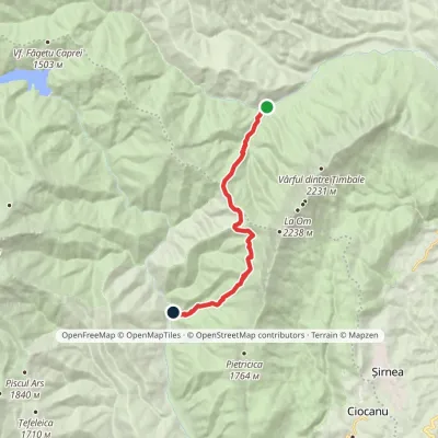 ModerateOne-dayMarkedPlaiul Foii Hut CojocaruElevation profile842–1 467 m12 kmascent 693 m≈ 4.5 h walking
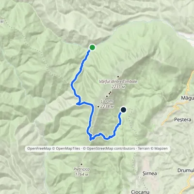 ModerateTwo-dayMarkedPlaiul Foii Hut La TableElevation profile842–1 937 m15.2 kmascent 1 298 m≈ 6.5 h walking
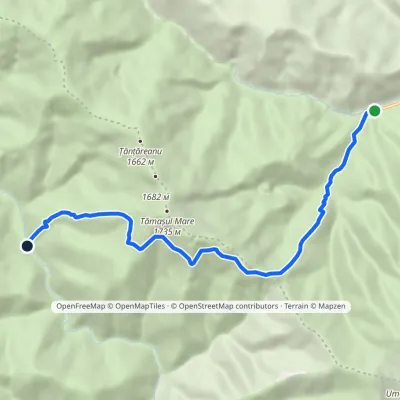 ModerateOne-dayMarkedPlaiul Foii Hut RăchitaElevation profile842–1 525 m9.3 kmascent 681 m≈ 3.5 h walking
